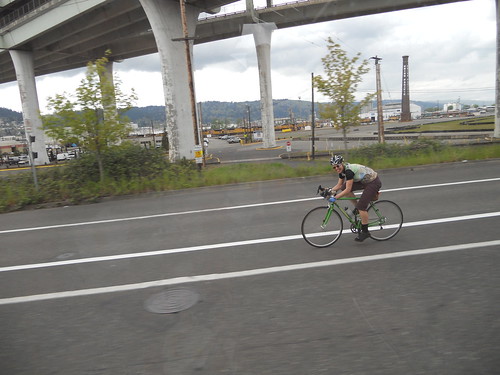
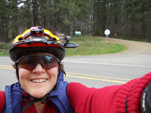
So, what's up after a 200km brevet? A 300km brevet! The Oregon Randonneurs Three Capes 300km was meant to be LAST weekend, but the snow, ice, gravel, etc on the Hwy 6 pass through the Coast Range suggested a rain delay. So, yesterday, 40+ riders set out at 6am. I was one of them. This is my story.
Lesli from Eugene needed a place to stay over before and after the ride, and the Home For Wayward Randonneurs (our guest bed) had an opening, so she arrived at about 8:15 Friday evening, just as I discovered that Bleriot had a flat. So she got settled, and I discovered that the valve was the source of the leak, and managed to uncover one more spare tube (I like to carry two. Even though in all my years of riding, I've only had two flats on one ride once.).
We packed our bikes in the van - one less thing to worry about the next morning.
Up at 4am, homemade Egg McMuffins (trip to the cellar to find our egg rings the day before), excellent coffee imported from Eugene, and we were off.
The weather was forecast to be amazing, but all the forecasts did say the winds heading back to Forest Grove would be Highly Unfavorable. Oh well, we'd deal with it when we got there.
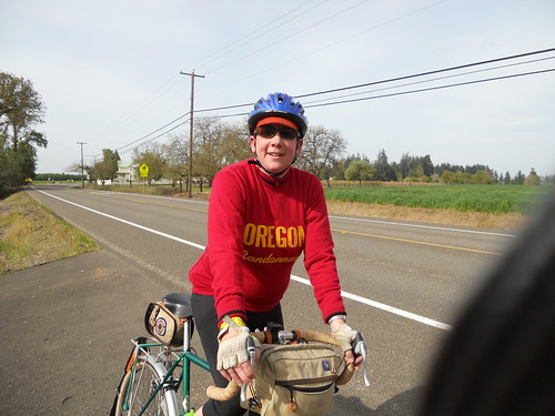
Off at 6am, with the sun rising as we headed north on Stringtown Road. The temp was hovering around freezing. North to Hwy 6, West to Timber Rd for the out and back. Michael and Susan were waiting with hot coffee and doughnuts. I had more coffee. Then back to Hwy 6, and the climb up to Brown's Camp, the summit of the Coast Range on Hwy 6. From Timber Rd, the climb is only about 5 miles, and not steep. Lesli was waiting for me at the summit ("not too long"), and down we went. Wheeeeeeeeeeeeeeeeeeeeeee!
Tailwind, descent, fabulous weather, the Tillamook State Forest leafing out for spring.... What's not to like? When we finally emerged just east of Tillamook, on the flats, we still had a nice tailwind pushing us west. We had to do a bit of careful maneuvering - a tractor pulling a BIG tanker of, um, manure pulled out in front of us. I wasn't going to tailgate that. Nor was I going to try to pass. Fortunately, it turned off at the next driveway. Remember this next time you have some Tillamook Cheese :-)
Into town and over to the Safeway, where many other randos were eating, drinking, and getting ready to leave. Marcello was very helpful - "it's at the end of aisle 4!" Yes, thank you. I wanted to buy a smallish bag of Fritos, but they didn't have any. A gallon bag - sure. So I ate a banana, string cheese and a chunk of trail putty. And off again, headed for the Three Capes Drive.
First up, Cape Meares. You can see it from Tillamook, and it doesn't look THAT hard. Hah. For starters, the road surface is awful. The grades are often 8-10%. And you don't climb it once. NOOOOO, you climb it *4* times. Nice views, though :-)
Heading into Netarts, on one of the downhills, I was stopped in my tracks by a gust of wind. The wind along the coast couldn't quite make up its mind which way to blow, but it was generally not that bad.
Then riding along Netarts Bay (pretty), before heading up Cape Lookout. It is the longest of the climbs, but not anywhere near as steep as Cape Meares. We stopped at Anderson's Viewpoint to take pictures, because it was warm and sunny, and all around a perfect Oregon Coast day.
Then up to the summit (Marcello: "it must be close, we are running out of up"), and the descent. More suboptimal road surface, then onto Sandlake Rd, heading south to Cape Kiwanda. Nice peaceful ride there; not very much traffic at all. Cape Kiwanda has two climbs, but neither is particularly challenging. And then down into Pacific City, where Lesli and I were to regroup at Grateful Bread. It was right at 3pm.
I had the split pea soup; Lesli had a sandwich. Many cups of coffee as well. Then off for the last climb of the day, to Sourgrass Summit. We rode up Little Nestucca Road, one of the prettiest roads in the state. Grades are usually 1-2%, winding through the forest, with the Nestucca River burbling along beside.
We leapfrogged John V to the top, and summitted about 5:30 or so. The descent was unfulfilling - the road had chunks of grooved pavement (in which case I expect better things next year), and, well, it didn't seem to be much of a descent. Maybe we had a faint headwind? I remember really descending that stretch in previous years.
At which point, I needed a stop. Preferably one with toilet paper. Doing these rando rides, one becomes adept at spotting portapotties. And there was a wonderful one outside the Health Center on the Grand Ronde Reservation. Hand sanitizer and all! Thus refreshed, I continued on to the Grand Ronde store, our next regroup point. I was surprised to see other riders - I figured we were at the very tail end of the group.
By this point, I was bonking. I just sat there on the bench outside the store, and, well... shook. I ate half a sandwich, which was all I could stomach at the time. Plus, it was too much trouble to eat (that's always a very bad sign).
Then east and north, which was supposed to be into a headwind. For some reason, not. By the time we were through Willamina and Sheridan, we were flying eastward. I had my light on, and was still going about 17mph, with practically no effort at all. This was the fabled tailwind that I have never experienced, in all my years of riding back from the coast by this route.
Got to Ballston and located the info control. I had to shine my headlight on the zip ties to verify the color - in the fading light, everything looks black. They could have been dark green - you never know. Then east, east, east in the fading light, into Amity. It was not yet full dark when we arrived, and we went to the gas station/convenience store for food and conveniences. Lesli went for the burrito. I ate a banana from my bag. Stomach was queasy, and I was shaking. Lesli: " this ride is in the bag". I wasn't so sure. 36 more miles to go. I was also getting chilly, so pulled my jacket, cap, and leggings back on.
Then off to Dayton. Lesli: "what does it look like in daylight?" Me: "boring". More tailwind, and a stop in Dayton, where Lesli made me take some No-Doze (falling asleep on the bike, and it wasn't even 10pm!) and eat a gel. Then off to Lafayette and the final push back. In the dark, the Abbey Road hill is less obvious. And it was dark. It was extra-special-black-hole dark. And starting to rain. Not that I minded, because 1) it gave us a push north, and 2) it kept me awake. Abbey Rd, Kuehne Rd, Ribbon Ridge, and then, finally onto North Valley Rd. The frogs were croaking away in the wetlands. Not much traffic, and what there was gave us a wide berth. I had to stop every so often, because I was weaving all over the road. And wondering how I was going to suck it up and finish this ride.
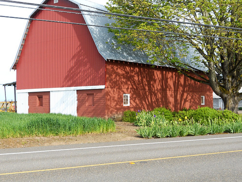
Crossed Laughlin; North Valley became Spring Hill. The two big hills, again, invisible in the dark, then past the lights of Gaston on the west, down, around, up, past Fisher Farms, past the big curve to the west, looking for Fern Hill (not obvious in daylight, but I know where it is). Lesli made me eat another gel, only 4 or so miles to go, and I knew every inch of that road. Past the water treatment plant, the base of Blooming-Fern Hill Rd, up the little climb, down past the (invisible) red barn, across the bridge, past the Fern Hill wetlands (even more frogs and ducks), across the railroad tracks and... right turn onto Hwy 47, go around the curve, cross TV Hwy, and done.
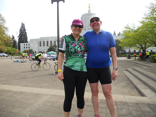
I wobbled in to the room where Mike and Susan were hanging out. And sat down. And didn't move much for awhile, except my legs kept twitching (!) After snacking and visiting, we figured one of us was alert enough to drive home. Pretty much.
Not my fastest 300. I expect if I hadn't bonked, it might have been, but, well, that's life.
Thanks to Lesli for keeping me going! She had 36 miles of poking, prodding, and cajoling to make me move.
