The cold got worse. I did not go to work from Tuesday afternoon through Friday. Mostly I moped around the house, when I wasn't coughing up a lung. Yeah, it was that bad. The spousal unit was strongly, strongly discouraging my participation. The Rando Brain does not work that way:-)
And, indeed, Saturday morning early, I didn't feel all THAT bad. Lots of cold medicine later, plus breakfast, I drove over to the start point (concession to the cold, not tacking on the Sylvan Hill twice and 20 additional miles).
Lesli and Michal pulled up as I was unloading the bike. After a double-take at Michal's incredibly appropriate Share the Road plate (computer geek related), we headed over to Kettleman's, found Susan already there, and ordered breakfast. One by one, everyone trickled in, and, at the appointed hour, we all headed out.
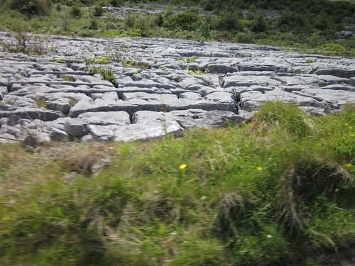
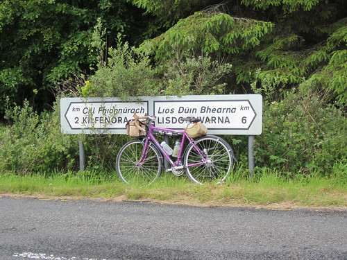
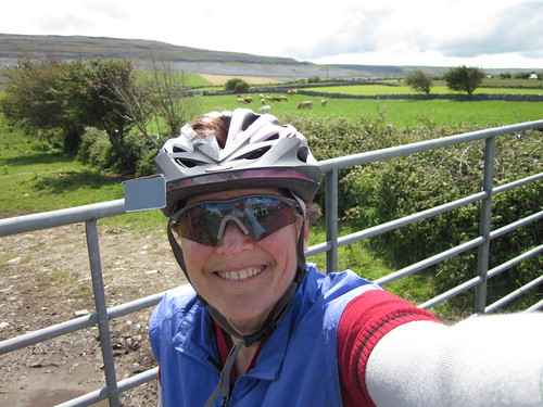
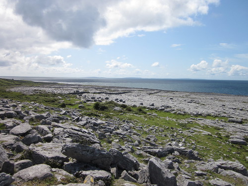
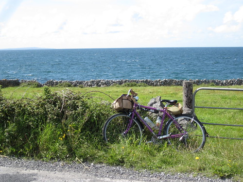
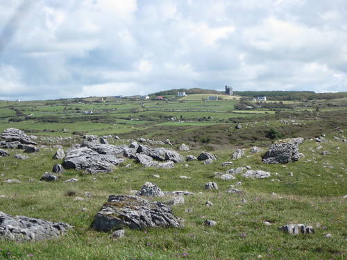
I will apologize now for no pictures, because the camera battery chose to die. Time for a new battery; I had just charged it.
East on the Springwater. I realized I had forgotten my sunglasses, and it was a very bright and sunny day. Our first control was the Bell Market, where I bought a Milky Way Dark and some very cheap sunglasses. Then off again. Michal and I were a bit slow off the mark, and we got to see everyone else vanish up ahead.
Michal was relying on me for navigation. I'd ridden this route once before, and I have ridden out SE, but don't feel as familiar with this area as I do with, say, Washington County. We did fine, and found everyone at the Boring Shell station. The one with the bathroom that one must practically rappel down to get to. Again, everyone took off, and I figured that was the last we'd see of them.
Michal was trying to ensure that I finished the ride with more food than I started with - he was pushing apple slices and cookies. Yum.
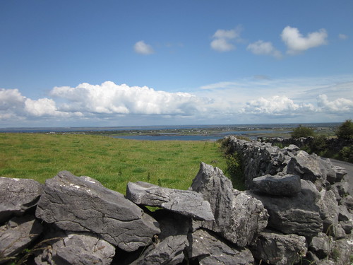
Perfect weather. The clouds were so perfect, they looked fake. Mt Hood was visible from most points in the ride.
Heading into Canby, we came upon a solo rider in Portland Velo kit. Chatting him up, it was a former co-worker, now at FLIR, which also makes him a former co-worker of husband and son. Small world. He was interested in randonneuring, so we recruited for awhile :-) In Canby, he headed on to Wilsonville (sucks having to work on a Saturday), and we headed to the Thriftway. Spent much less time there than the last pass through.
Now that we were in Canby, I was on completely familiar routes for the rest of the ride. Rollered our way west on North Valley Rd, wheel-sucking my way north to the Gaston store (junk food consumed sitting on the curb), north and a bit east, through Cornelius and north to the Rock Creek Tavern (RC Colas consumed sitting at the bar, plus forcing down a pbj sandwich afterward). Michal: "looks like you are having trouble getting that down". Yup.
The last 20 miles was hard. Climbing Old Cornelius Pass, while not as challenging as it was in 1992, was still hard. I had to walk the stretch from Cornelius Pass to past Skyline School. My voice kept checking in and out all day - couldn't talk much, because it would make me cough.
Stair-step rollers along NW Skyline. Got a message from Lesli - they'd finished and were at the Lucky Lab. A good a place as any to finish the ride - beverages, food, bicycle-welcoming establishment... Once we passed the cemetery, I knew it wasn't too much further before we'd get to Cornell and could descend. I did turn on the rear lights in preparation for the tunnels. The route says to descend on Thompson, but it is closed due to landslides. Still daylight, and would be for quite some time.
A really fun drop down Cornell, through the tunnels, and now looking for that obscure left turn on the cue sheet (we missed it last time). I found it this time, and we wandered around NW Portland, looking for that right turn onto NW Vaughn. There is no right turn onto NW Vaughn. Turning left is Vaughn, right is Thurman.
Found our way down to Naito, looking for the Steel Bridge lower deck path. Michal: "Maybe I should just follow you here". Good plan - I know what I'm looking for, but not exactly were it is :-)
Across the Steel Bridge, south on the Eastbank Esplanade, looping up onto Hawthorne, into the back lot of the Lucky Lab... and Lesli and Susan were sitting on the back patio. Parked the bikes, ordered some food, and visited. Susan told me that Lesli was wondering if I'd DNF somewhere around a point where I could easily ride home. She and Cecil were apparently quite emphatic that no, I wouldn't.
Oh... 12:21 total time. Really less, but Lucky Lab's service staff probably got training from the McMenamin's staff. They'll take your drink order really quickly, but the food order line is mostly unstaffed. In any case, faster than that 13:21 of March.
Thank you Michal for riding with me!
Route notes: Spangler Rd (before Canby) bears right and turns into Casto Rd. Going straight it is still Spangler, but it is a dead end.
the left turn onto Shute Rd from Evergreen - you won't find it now. It is a left turn onto Brookwood.
The right turn in NW Portland (onto Thurman rather than Vaughn) was noted before. Basically, you find yourself staring at US HWY 30. Turn right :-)
Aftermath: the cold returned with extreme prejudice on Sunday. I tried to go into work on Tuesday and was sent home. Got in to see the doctor (I'd been doing everything they suggested since early the previous week) and got some narcotic cough medicine which FINALLY got the cough under control. Yesterday I stopped taking all the cold medication. They said I'd be coughing for some time after the cold gave it up, but it is nothing like the coughing earlier.