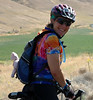
When I packed for the trip, I optimistically included cue sheets for both 1603 and 2390, as well as perm cards and a registration form. All my riding this calendar year has been the North Plains Banks Vernonia Perm Pop, and not a whole lot of that.
So there we were, and I was looking at the perm pop and "nah, not this time. Don't want to face those climbs..."
Revisiting the 200k (really 218k), I thought I might find a good 100k in there, to Glen Arbor and back. And, pulling the route west between Empire and Glen Arbor, I was able to do just that, plus get to ride the brand new Sleeping Bear Heritage Trail.
Mapping out a route with RWGPS on an iPad is a little tricky. And I couldn't download the cue sheet and edit it - I had to write it out and type it into Google Sheets.
Crista promptly approved the route. Then the weather went slightly disagreeable for a few days.
When the weather improved, my husband basically ejected me out of the cottage and onto my bike. He doesn't usually do that.
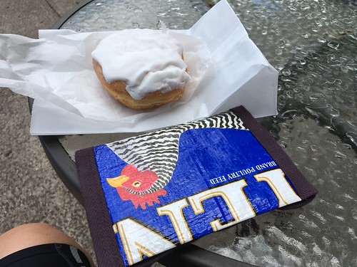
So I rode into town to the Crescent Bakery, and started the ride at 1pm. Rode back out of town (brief pause to start RWGPS), then up and over Sutter Road (OMG the new pavement!), and points north. It was all good until I passed the canoe outfitters at the Platte River (11.7 miles), and then entered into the "nothing to see here" for the next 11 miles to Empire. Well, lots of trees. Some cornfields. Climbing. Need to work on my mental state for that stretch.
After winching myself back out of Empire, turned onto M-109 and started looking for the Sleeping Bear Heritage Trail. M-109 may be USBR-35, but it was also prime trailer and boat season. Also, every camp and summer program in the area does a day trip to the dune climb, and M-109 is how one gets there. The trail parallels the road, and I hopped on at Pierce Stocking Drive. It was nice and shady, if a little bit more rolling that the road.
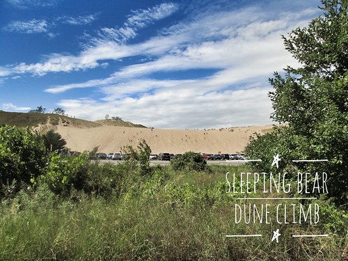
Rode by the Dune Climb, and was getting pretty excited about going through Glen Haven - it is a restored village with a General Store (no food/water), a Maritime Museum (the old Coast Guard station), a restored cannery, and other things. Also nice clean bathrooms and water.
Moving along, the trail goes through a campsite and then the original routing had continuing straight on Pine Haven. Nope. Sand road. The reroute goes right on Pine Haven, and returns to M-109 a long block or so sooner.
Glen Arbor doesn't really start until the intersection with M-22, so it seems like a longer ride into town than it is.
But anyway, I found myself some expedient ice cream, and sat outside the shop chatting with the proprietor. Glen Arbor has many opportunities for food.
The return is a reverse of the route, and fairly uneventful. I did stop in Empire for many things to drink, because it was humid. I'd been drinking all afternoon, and needed more. An older guy was returning empties, and the clerk asked for his birthday. Something-something-1980. I was looking at him thinking "wow, hard life." The clerk was more forthright - "my son was born in 81, and you weren't born in 1980". He finally coughed up a plausible birth year, finished his transaction and left. The clerk and I looked at each other and cracked up.
Fitz was heading home from a golf outing, and passed me on the road just after the climb out of Empire.
More slogging along, although Empire to the Platte River is easier than the other way. A pause on the Sutter Rd climb. A pause at the cottage to establish a meetup spot in town, and, finally the last couple of rollers (one pause) and done.
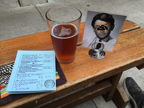
Stormcloud Brewing is my finish location of choice; they even have a cool rubber stamp, although if they are busy it might not be a good idea to send the bartender looking for it.
And hey, RWGPS in offline mode worked great! Didn't hardly drain the battery at all!
Showing posts with label michigan. Show all posts
Showing posts with label michigan. Show all posts
Tuesday, August 30, 2016

Sunday, August 14, 2016
Permanent Populaire #3164: Frankfort - Sleeping Bear - Glen Arbor 102km
Route
Cue sheet
Registration Form
Note: while I charge no fee for this perm, you MUST purchase a park pass to ride through the Sleeping Bear National Lakeshore. The fee was $7.00 in 2016.
This route takes you from Frankfort, through the Sleeping Bear National Lakeshore, into Glen Arbor, and back again.
Starting at 4th and Main in Frankfort, your options for a control are Crescent Bakery, L'Chayim Delicatessen and maybe the coffee shop across the street whose name I do not remember.
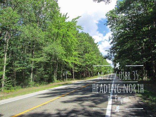
You head east on Main Street, away from Lake Michigan, turn left onto 7th Street, which rapidly becomes M-22, heading north.
Three rollers out of town, and then you ride along Crystal Lake until the left turn onto Sutter Rd. I am ever so pleased to report that Sutter Rd has been repaved! It hasn't gotten any flatter, though.
The deer statues seen by the side of the road and in yards are not statues. You might also spot a flock of wild turkeys.
At the end of Sutter Rd you turn left onto M-22 again, and there's minimal navigation for miles and miles and miles. You'll pass the Platte Lake store (Riverside Canoe Trips, mi 11.7) if you need anything; there's nothing for the next 10 miles. Well, lots of trees, as this is Up North. Eventually the terrain starts rolling.
When you see the Radome up ahead, Empire isn't far away. You'll drop 200 feet into town.
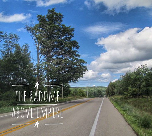
Right at the intersection of M-22 and M-72 (traffic light), there is an EZ-Mart, which may be more interesting on your return.
But, more importantly, you can turn right onto M-72, go a block, and the Sleeping Bear Dunes National Lakeshore office on the left will sell you that park pass.
Continuing north on M-22, you'll climb up a bit, and then turn left onto M-109.
You'll see the Sleeping Bear Heritage Trail on your left, and you may prefer to cut over to it when you get a chance. I hopped on at Pierce Stocking Drive. There are driveways, and eventually, the Duneswood Resort. It is a lot nicer riding on the trail - shaded and no RVs or pickups hauling boats!
If you did not get your park pass in Empire, you must buy one in the parking lot just past Hunter Rd, mi 27.3.
On your left is the famous Dune Climb, where people (mostly children) scramble up and down for hours. There is also hiking at the top. This is not to be confused with the EPIC dune climb at the end of the Pierce Stocking Drive, where the dune plunges precipitously down to Lake Michigan, and there are signs warning that you must pay for your own rescue if you can't climb back up. Good times.
So, continuing along the Sleeping Bear Heritage Trail - there are a few steep bits, but they are all short - you'll eventually come to the first info control. The sign is on the right, and it is the second sand turnaround.
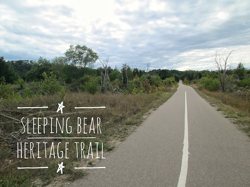
By now the trees have receded into dune scrub foliage, and a mile or so later, you will arrive in the restored historic town of Glen Haven. There's another info control here, or you can buy something in the General Store. Note: they DO NOT sell anything to drink, but there is a water fountain outside, as well as very nice restrooms.
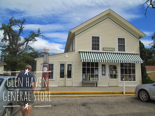
Continue on the path between the store and the restrooms, heading to and straight through the D. H. Day Campground. The trail pops out the other side, ending at Pine Haven Drive. Turn right, and then left on M-109, for a short couple of miles into Glen Arbor.
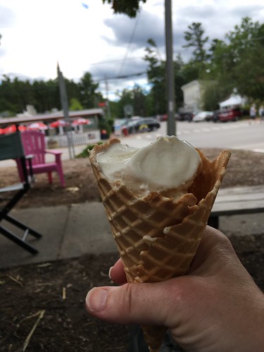
Glen Arbor is the turnaround control. You'll find a market on the corner of M-22 and M-109, and continuing straight (M-109 merges into M-22 North), you'll find ice cream places and a coffee shop. There is also Art's, with their famous pool table on hydraulics, but service might be slow.
And then you turn around and retrace the route back to Frankfort. By then, Crescent Bakery is probably closed, but Stormcloud Brewing will be open, as will The Cool Spot (ice cream!) as well as many other places to get something to eat and/or drink.
Tuesday, August 19, 2014
Finding the Grand Traverse Lighthouse
Executive summary: it is still there
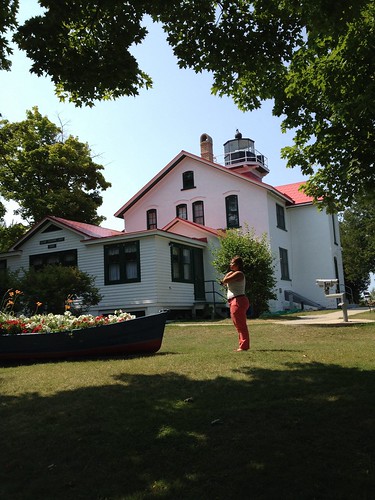
After taking July off, it was time to start the next R-12 cycle. Being in Michigan, and there being only one 200k perm in the area (another in the design phase), well, it was off to the lighthouse again.
Fitz was golfing somewhere between Glen Arbor and Leland last Monday, and he thought that would be a great day for me to ride. Fortunately, the weather cooperated.
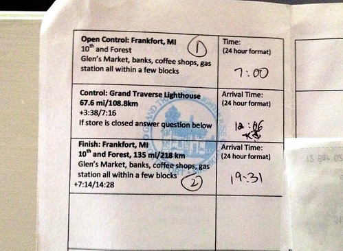
Rode the familiar 3 miles into town, and over to Glen's Market for the start. We were out of trash bags (trash pickup is two days a week, and it has to be in the official bag), so I bought a few more. I'd drop them off on my way out.
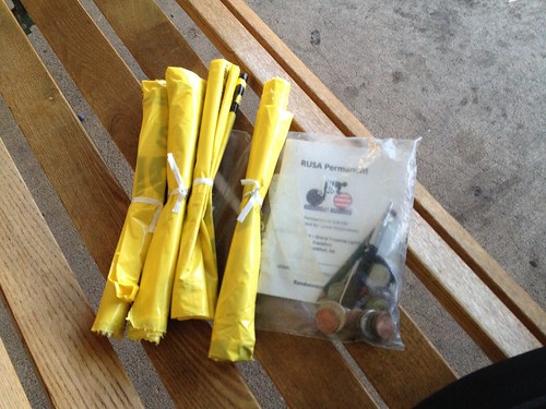
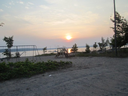
7am, and off. The best picture of the day that I did not take was heading up the biggest roller out of town - I looked up and saw two deer silhouetted against the sky, as they crossed the road. I did stop to get a sunrise picture at the Assembly Beach, dropped off the trash bags, and continued north.
This was a good ride for wildlife spotting - besides the deer at the beginning, I saw several more, and had to ride carefully to avoid a couple of collisions. Also a squirrel, which was aiming for my front wheel, and several flocks of wild turkeys. It is amusing to see the turkey heads poking up from the tall growth in fields.
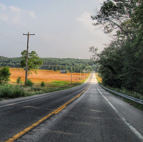
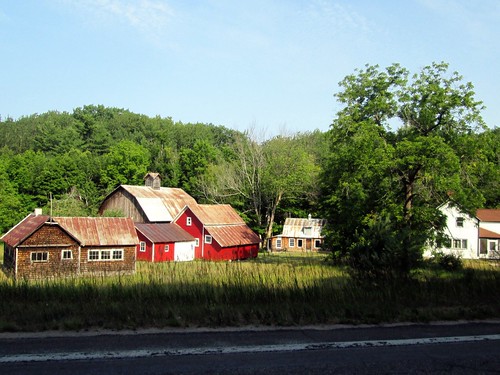
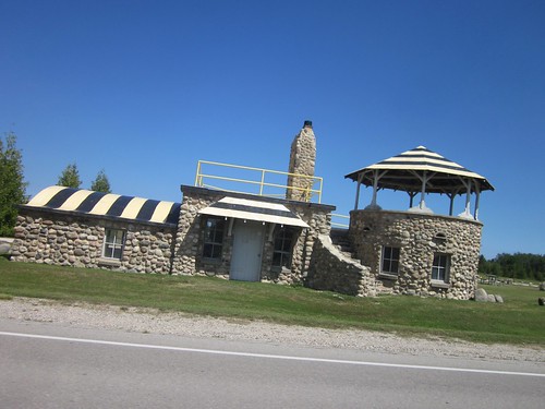
First, up and over Sutter Road. The pavement is still pretty cracked, but there were bits of what seemed to be smooth patch. There was a stop by the Platte River rafting folks - construction had closed one lane over the bridge, and we had to wait for the traffic light. Then the rolling climbs up and over to Empire, and, of course, the Empire Dome of Mystery. (see the picture text below for the mystery revealed)
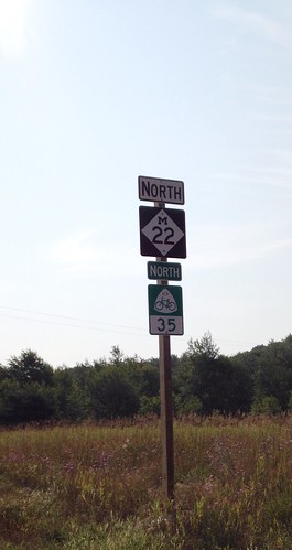
I continued on to Glen Arbor, had a brief pause, and then on to Leland. This is the longest stretch of the ride with farms, homes, and not much else. Well, views of Lakes Michigan and Leelanau, from time to time. Last year I was delayed by construction and a flagger who wasn't going to let me ride through. This year, no construction, and the new pavement is wonderful. This stretch also yielded the first sighting of a USBR35 sign!
I had planned to get a sandwich in Leland, so pulled over at a deli right in town. Ate my sandwich outside, and watched a local boy on a bike stop and very closely inspect my bike. Bikes up here are either mountain bikes, cruisers, the occasional fully-loaded tourer, or fairly high-zoot road bikes. Not rando bikes with luggage.
Next, the lumpiest part of the route - Leland to Northport. Only 11 miles, but... yeah. Biggest climb of the route - 280 feet over 6 miles. Starting to get hot and sticky as well, as the route went away from the coast to cross over the Leelanau Peninsula to the east side. Whoof. Finally into Northport. I didn't stop, but continued through town (it is picturesque), and northward to the state park and lighthouse. There is a shady stretch along Northport Bay, before heading inland to the tip of the peninsula.
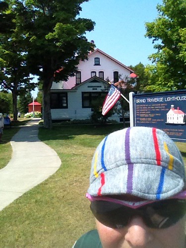
Arrived at the park, left my bike in the rack (you can't take it any further to the lighthouse), and went into the gift shop to get a Coke and a RUBBER STAMP on my card. Parks which have a passport type program are really good for this. Sat on a bench in the shade, sucked down the Coke, refilled my bottles, and headed back.
Didn't stop in Northport. The climb out is steeper than the climb in - 280 feet over 3 miles. The wind was supposed to be from the north by this time of day, but I didn't feel it here.
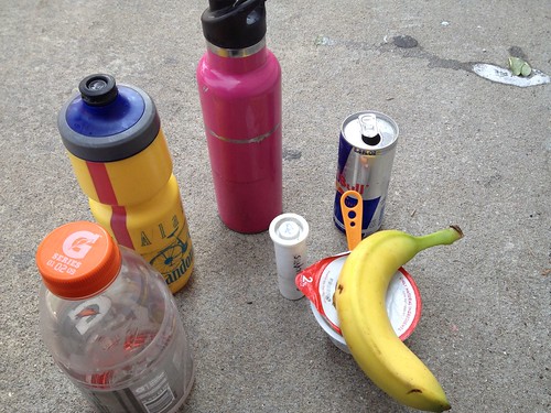
Eventually got back to Leland, where I stopped at the Mercantile and picked up various food objects to consume on the sidewalk. Some golfer guy found me there, chatted for a few, then went off to find real food and something other than the sidewalk to sit on. I finished the yogurt and Red Bull, stashed the banana for later, refilled bottles, and continued on.
Arrived in Glen Arbor, and fruitlessly roamed the C-store for V8. None, but I had my emergency stash, and drank it. Only 30 more miles to go. Hot and sticky.
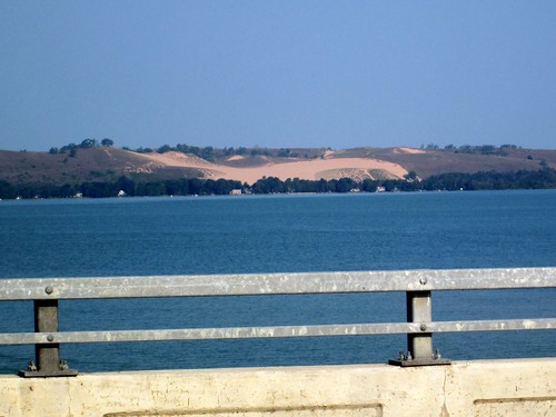
I do like riding over the causeway between the Glen Lakes. I should have stopped and dunked myself in the lake! The tailwind showed up from time to time, and not too much longer, I was in Empire.

Perhaps I spent a bit more time there than I should have. I was enjoying a cold drink and some snacks, and a guy who wasn't in a hurry to start his run wanted to talk about my bike. I also gave him a quick tutorial on one of the running apps, because he didn't know how to get it started. Plus, there was that climb...
I spun my way up, went up and down the next two shorter grades, then slogged on south. Finally started to see the "local" landmarks - the Manitou Fine Northwoods Dining, where someone would encounter a famous golf course designer a few nights hence, then, finally, the climb up Sutter Rd.
Now it was just a matter of zipping along M-22 into town, with those few big rollers to get over. Dinged the bell as I rode by the cottage, but didn't see Fitz on the screen porch.
Over the hills, into town, and made a beeline for Stormcloud Brewing, the new (and only) brewpub in town.
Scored a glass of mead (they have cider on the menu, but are always out of it), paid for it on the spot (receipt!), then wandered out to the patio and shared a table with some folks passing through town. Called Fitz, and he joined us. Pizza and salad. And some delightful dinner companions.
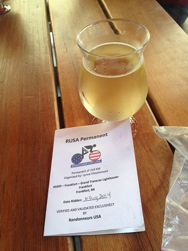
After taking July off, it was time to start the next R-12 cycle. Being in Michigan, and there being only one 200k perm in the area (another in the design phase), well, it was off to the lighthouse again.
Fitz was golfing somewhere between Glen Arbor and Leland last Monday, and he thought that would be a great day for me to ride. Fortunately, the weather cooperated.
Rode the familiar 3 miles into town, and over to Glen's Market for the start. We were out of trash bags (trash pickup is two days a week, and it has to be in the official bag), so I bought a few more. I'd drop them off on my way out.
7am, and off. The best picture of the day that I did not take was heading up the biggest roller out of town - I looked up and saw two deer silhouetted against the sky, as they crossed the road. I did stop to get a sunrise picture at the Assembly Beach, dropped off the trash bags, and continued north.
This was a good ride for wildlife spotting - besides the deer at the beginning, I saw several more, and had to ride carefully to avoid a couple of collisions. Also a squirrel, which was aiming for my front wheel, and several flocks of wild turkeys. It is amusing to see the turkey heads poking up from the tall growth in fields.
First, up and over Sutter Road. The pavement is still pretty cracked, but there were bits of what seemed to be smooth patch. There was a stop by the Platte River rafting folks - construction had closed one lane over the bridge, and we had to wait for the traffic light. Then the rolling climbs up and over to Empire, and, of course, the Empire Dome of Mystery. (see the picture text below for the mystery revealed)
I continued on to Glen Arbor, had a brief pause, and then on to Leland. This is the longest stretch of the ride with farms, homes, and not much else. Well, views of Lakes Michigan and Leelanau, from time to time. Last year I was delayed by construction and a flagger who wasn't going to let me ride through. This year, no construction, and the new pavement is wonderful. This stretch also yielded the first sighting of a USBR35 sign!
I had planned to get a sandwich in Leland, so pulled over at a deli right in town. Ate my sandwich outside, and watched a local boy on a bike stop and very closely inspect my bike. Bikes up here are either mountain bikes, cruisers, the occasional fully-loaded tourer, or fairly high-zoot road bikes. Not rando bikes with luggage.
Next, the lumpiest part of the route - Leland to Northport. Only 11 miles, but... yeah. Biggest climb of the route - 280 feet over 6 miles. Starting to get hot and sticky as well, as the route went away from the coast to cross over the Leelanau Peninsula to the east side. Whoof. Finally into Northport. I didn't stop, but continued through town (it is picturesque), and northward to the state park and lighthouse. There is a shady stretch along Northport Bay, before heading inland to the tip of the peninsula.
Arrived at the park, left my bike in the rack (you can't take it any further to the lighthouse), and went into the gift shop to get a Coke and a RUBBER STAMP on my card. Parks which have a passport type program are really good for this. Sat on a bench in the shade, sucked down the Coke, refilled my bottles, and headed back.
Didn't stop in Northport. The climb out is steeper than the climb in - 280 feet over 3 miles. The wind was supposed to be from the north by this time of day, but I didn't feel it here.
Eventually got back to Leland, where I stopped at the Mercantile and picked up various food objects to consume on the sidewalk. Some golfer guy found me there, chatted for a few, then went off to find real food and something other than the sidewalk to sit on. I finished the yogurt and Red Bull, stashed the banana for later, refilled bottles, and continued on.
Arrived in Glen Arbor, and fruitlessly roamed the C-store for V8. None, but I had my emergency stash, and drank it. Only 30 more miles to go. Hot and sticky.
I do like riding over the causeway between the Glen Lakes. I should have stopped and dunked myself in the lake! The tailwind showed up from time to time, and not too much longer, I was in Empire.
Perhaps I spent a bit more time there than I should have. I was enjoying a cold drink and some snacks, and a guy who wasn't in a hurry to start his run wanted to talk about my bike. I also gave him a quick tutorial on one of the running apps, because he didn't know how to get it started. Plus, there was that climb...
I spun my way up, went up and down the next two shorter grades, then slogged on south. Finally started to see the "local" landmarks - the Manitou Fine Northwoods Dining, where someone would encounter a famous golf course designer a few nights hence, then, finally, the climb up Sutter Rd.
Now it was just a matter of zipping along M-22 into town, with those few big rollers to get over. Dinged the bell as I rode by the cottage, but didn't see Fitz on the screen porch.
Over the hills, into town, and made a beeline for Stormcloud Brewing, the new (and only) brewpub in town.
Scored a glass of mead (they have cider on the menu, but are always out of it), paid for it on the spot (receipt!), then wandered out to the patio and shared a table with some folks passing through town. Called Fitz, and he joined us. Pizza and salad. And some delightful dinner companions.
Sunday, August 17, 2014
Little Lakes and Big: First Ride of the new Michigan Perm Pop
Over the last couple of years, when we visit up in Michigan, I bring my bike. I finally developed a 200k perm, and more recently, a 100k perm, because I can only ride around the lake so many times.
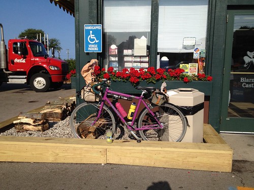
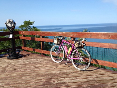
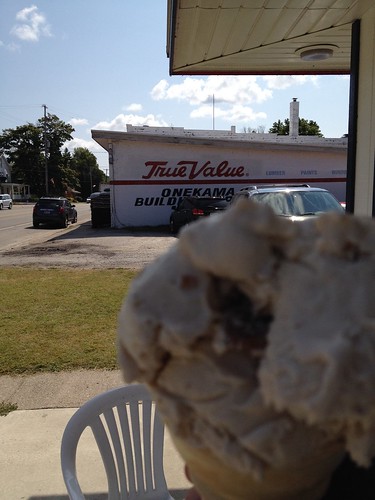
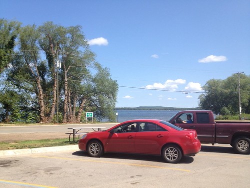
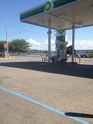
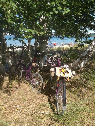
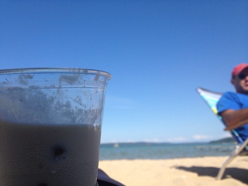
My development process for the 100k was to have a vague idea of where I wanted to ride, then rummage around on Ride With GPS and the Strava Heatmap, to see the roads which cyclists preferred. I'd try to use Google Street View, but it is sufficiently remote up here that anything other than major roads is not yet visited by the Google cameras.
So I created a plausible route and got it approved. No one had yet signed up to ride it (amazingly enough, I am NOT the only rider on my 200k), so I would be the first rider. I have driven the route as far south as Onekama, and know the stretch from Beulah around the lake to Frankfort quite well. However, Onekama to Beulah would be all new.
Rode into town, and got my start proof of passage at the EZ Mart C-store. This is the c-store of choice all around here.
Headed south on M-22, aka USBR 35. Lake Michigan was on my right somewhere over there. Headed south through Elberta, and promptly started climbing. It is hilly along the Lake Michigan shore. Chugged up a couple of long ones, with respectably painful grades. At the top of the second climb, I saw some bike tourists pulled over. They had a trailer, so I expect they were recomposing at the top. They cheered me on and gave me a very appreciated mist of water.
Passed through Arcadia (up and down), over Arcadia Lake (pretty; camera battery chose today to not be with me), up again, past the golf course, and finally, came to the Lake Michigan overlook. So pretty.
Down again; surely I'd get to Onekama soon. No, more up and down. Did I mention the headwind?
Finally I was there. Found the ice cream shop, and enjoyed a scoop in a waffle cone.
Off to find Bear Lake, the second on-course control. Note: there is an EZ-Mart on the corner where one turns onto 5th to go to Bear Lake. Of course, it was a climb up :-) then rolling through farmland, and eventually turning east for the last mile or so to Bear Lake. Stopped at the EZ-Mart. They had V8, which made me very happy. It was hot and more humid than I am used to.
The ride on Hwy 31 through Bear Lake was happily uneventful - it is a very busy highway closer to Traverse City - and turning left to ride along the lake was a delight. Lots of cottages and people recreating in the lake.
The road then turns north, and rolls along for quite a while. Then I got to where the road crossed Glover's Lane and... it wasn't paved. Up here, not paved usually means sand. Well, ok, it can't be that way for very long. So I kept going, and it wasn't too bad for the first mile or so. Hard packed, I could ride it. Then it started washing out. So I'd walk for awhile, and when it firmed up, I'd ride until I couldn't.
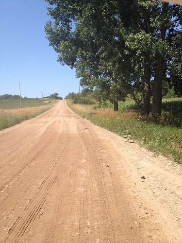
Surely it would be paved around the corner. After that... surely it would be paved at Taylor Rd. Surely it would be paved at the next road... And finally, it was paved.
Surely it would be paved around the corner. After that... surely it would be paved at Taylor Rd. Surely it would be paved at the next road... And finally, it was paved.
As soon as I made the turn, I encountered a group of cyclists chugging up the other way. We stopped and chatted briefly, then continued on our respective ways. Getting hotter. Time was getting short, too. Would I make it to Beulah in time?
The terrain continued to be quite rolling. Also quite pretty - farms. Lots of blueberries and corn and roadside fruit stands. But would I make the next control in time? Finally I summitted, and enjoyed the precipitous descent to River Rd (16%. Nice!) Once I was at River Rd, I knew exactly where I was, and headed over to pick up the Betsie River Trail into Beulah. But would I make it in time? There might have been some flying low on the trail, and I entered Beulah with 10 minutes to spare. Whew.
Got a bagel and cream cheese at the deli, and maybe spent a few more minutes than I should have, eating it. 15 more miles to go, all flat but for the climb out of the Crystal Lake Watershed - four big rollers.
I had had a unidirectional headwind the whole time, and it didn't let up for the 10 mile stretch along the north shore of Crystal Lake. Sigh. But once I made the turn south, the tailwind kicked in.
Past our cottage and one info control to make sure I rode around the lake :-) then over the big rollers. I know exactly how long it takes me to ride into town, and knew I'd make it, so I backed off a bit.
Finished at the EZ-Mart, then texted Fitz to see where he was. I was planning to get another ice cream cone over at the Kool Spot in town, but he was headed for the beach. Well, I could just as easily get an ice cream cone at the Crystal View at the beach, plus dunk my hot and sticky self in the lake.
So I turned around and rode back north, over those rollers again, then coasted down to the beach, parked the bike, got an ice cream, and joined everyone on the beach.
The lake was wonderful. And the reroute is already scoped out.
Saturday, June 28, 2014
Permanent Populaire # 2390: Crystal Lake - Onekama - Bear Lake
A lake-filled jaunt along the Lake Michigan shoreline.

cue sheet
registration form
The route starts in Frankfort, Michigan. You can get a receipt at the c-store at 7th and Main, or the Family Fair grocery at 10th and Main, or the Crescent Bakery (worth the stop!) at 4th and Main. All good things are on Main :-)
So. You'll go east a few blocks before turning onto 9th, and onto the Betsie Valley Trail for a short while. When you get to Elberta, just over the bridge, you'll turn right onto M-22, which is also USBR 35.
After some ups, with a fabulous view of Lake Michigan and downs, you arrive in Onekama. There are a couple of convenience stores, a grocery, and a tavern or two along the road. I recommend the EZ-Mart at the Marathon Gas Station, on the right; the turn onto Third is on the left. All the rando-friendly food and beverage offerings are at the back on the right. Clean bathrooms to the right at the door.
Now turning away from Lake Michigan, you proceed up to Bear Lake (Gas station C-store at intersection of Hwy 31, another at 13 Mile Rd, a bit of a detour off the route).
Then proceeding north, away from main roads, and away from places to get food or water, until Benzie. It is all very quiet up there.
Keep your hands on the brakes on the descent from Forester Rd to River Rd. Steep drop.
You will get back onto the Betsie Valley Trail at mile 45.6, from River Rd. The surface will change to crushed gravel, and then sand over gravel. I have had no trouble riding on either with my 32mm tires. DO NOT LEAVE THE TRAIL UNTIL BENZIE. The property owners on either side take a dim view of that. But do enjoy the views of Crystal Lake!
Benzie has many places to get something to eat and drink. Recommended: L'Chayim, Cool Cat (ice cream), Lucky Dog (grill). The Cherry Hut, on US-31 is a tradition, but slow service.
Now, heading out of town, you circle around Crystal Lake, and head back to Frankfort, and the delights of Main Street!
Thursday, August 15, 2013
Finally Riding My Own Michigan Perm
Right after it was approved, someone wanted to ride it. Then, this year, a couple more folks rode it. If you build it, they will come.
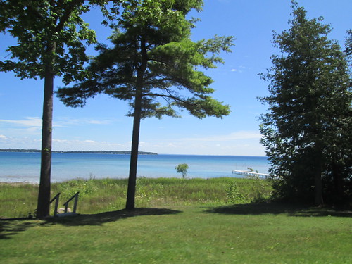
But I didn't have a chance to ride it until last week, when we were up there for vacation. Printed a card and cue sheet, and figured I'd negotiate with the route owner when we got there.
I always take Bleriot to Michigan. Can't quite see dumping the Sweetpea on the beach.
Last Thursday was the day - good weather, and Fitz and his brother had serious golf plans.
Wednesday, I went for my first run in 8 months.
Got up WAY too early - 5:45am. And, since in Michigan, we really don't deviate much from West Coast time (sleep in, stay up past midnight socializing), it stung a bit. The route has many places for food, so I had packed some preferred non-perishables from home, and bought some Gatorade and Fig Newtons and called it good.
Rode into town (3 miles, the "wrong" way) for the starting receipt at the grocery, then headed back north. Stopped briefly at the cottage to get something I forgot.
Frankfort to Empire
Other than the climb on Sutter Rd, which has the worst pavement ever, the most challenging bit on this stretch is the gentle climb over the hill to Empire. I found a golf ball on the way up; stopped to pick it up. Fitz comes by here every year to hunt golf balls; it was his father's favorite hunting spot. The cottage never lacks for quality golf balls.
Descending Sutter (totally the worst pavement ever), my metal thermal bottle hit the pavement. I stopped to retrieve it, only to discover the water bottle cage holding it had broken off the bike. Worst pavement ever. Stuffed the bottle in my front bag, and knew I'd be totally OCD about no second bottle cage the whole ride.
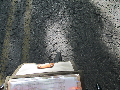
Sutter is a "Natural Beauty Road"* which explains the pavement condition.
A driver tried to right hook me at Platte Rd. She says SHE'S a cyclist and always stops there. I just wished she'd been paying better attention.
So, over the hill, and through Empire.
Empire to Glen Arbor
Too bad this is only 8 miles. Highest quality shoulders the whole stretch, plus the ride on the causeway between Glen Lakes. Pretty flat. My pace had been nicely quick, for me, and I was supposed to be having an outgoing headwind.
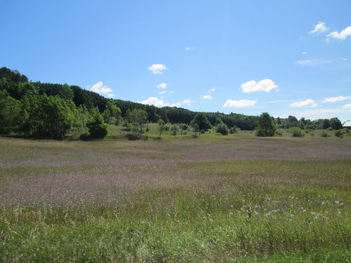
Just out the far side of Glen Arbor, I spotted a bicycle rental/service/sale shop. I bet they could sell me a bottle cage. Not only that, they kindly loaned me a 4mm Allen wrench (got one on the multitool, but it is a little bulky to install water bottle cages), admired the bike and chatted about my planned ride. Nice folks.
Continued on.
Glen Arbor to Leland
18 miles, slightly less nice shoulder. Maybe a little more rolling.
A few miles north of Glen Arbor, I came upon some road construction. Waited in line with the other cars, applied sunscreen, removed superfluous clothing. We got the go, so I went. Or tried. The flagger told me I couldn't ride through. I would have to walk, because cars would pass me and go too far over. Or something like that. He also called me "you people" and said he'd call the cops if I rode. I said I'd go after, and he said I'd be holding up traffic. Dammit. I am traffic! He made me walk facing traffic. Well, it was a bit of a ways to the end, and the oncoming traffic was released and fortunately there was a driveway to jump onto. I'd run out of flat area to the left. By then I was far enough along that I hopped on my bike and rode through. The far end flagger got on his phone as I passed by.
A bit later, I saw a car from Sutton's Bay Bikes, and flagged the driver down. We chatted, because I wanted to know if there was some weird thing in Michigan traffic statues regarding bikes and construction zones. No, there wasn't. He knew which construction firm it was, too, and suggested I call the Leelanau Country Sheriff.
When I got into Leland (passing by Good Harbor Farm and Good Harbor Wine), about 40 miles, I pulled into a deli, ordered a sandwich and pickle, and sat down and called the sheriff. Had a lovely chat with the Lieutenant, and he said that if they wanted to call the cops, he'd be very happy to talk to them.
Ate half the sandwich, drank something, topped off the bottles, and headed out.
Leland to Northport
The terrain definitely gets a little more rolling here, and more meadows and less mixed forest. There are some interesting (in the architectural sense) homes through here.
In Northport, M-22 takes a turn for the south, and I continue through town on M-201. The cue sheet has several turns, but they are all following M-201, until the right turn on 5th. Or 6th. Either one.
In any case, a turn onto North Shore Rd. Starts out paved, but eventually turns to a nice dirt/gravel hardpack for the last .7 mi, and runs right alongside the bay. It is also a Michigan "Natural Beauty Road". *
Northport to the Grand Traverse Lighthouse
Popping out onto Woolsey Lake Rd, the route then heads north to Leelanau State Park and the Grand Traverse Lighthouse. It passes a nifty little airport, a few farm stands, a barn-red farm complex, some boring bits, and finally, the park.
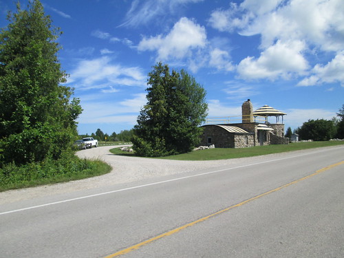
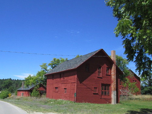
You know how the Rules say you should get a stamp at a control, or, failing that, because NO ONE has rubber stamps anymore in the USA, get a receipt? Well, the lighthouse gift shop has a WONDERFUL rubber stamp! Finally!
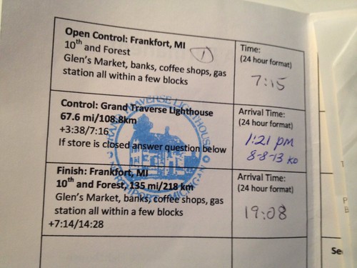
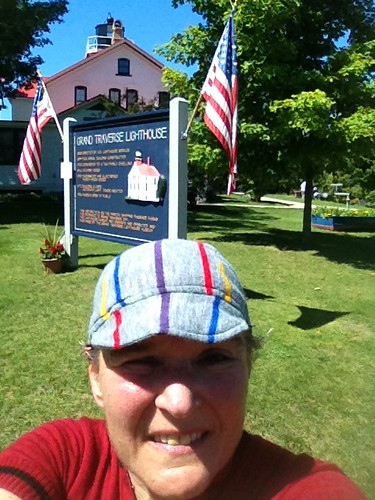
Topped off bottles, putting my Carbo-Pro/EFS mix into one of them. Didn't stick around long; that Coke float in Northport was calling.
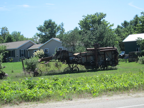
Back to Northport
Stopped for a Coke float at Kamp Grounds, a cute ice cream/coffee shop. (the entire town of Northport is cute, as are Leland, Glen Arbor, and Frankfort). While waiting in line, the man in front asked if I had ridden to the lighthouse. Why yes I had, and was headed to Frankfort. And how far was that? About 60 miles. "Oh." (pause) "That's.... nice." For good measure, I told him I started there as well.
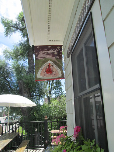
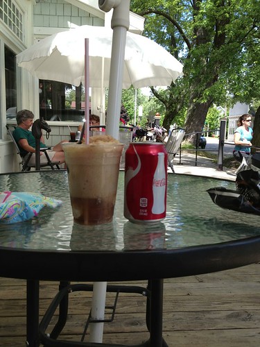
I did sit outside in the shade and thoroughly enjoyed that drink.
Back to Leland
Ate the other half of the sandwich.
Back to Glen Arbor
Ah, yes, I'd have to pass through that construction zone again. Heading south, the flagger saw me coming and turned his back (flaggers are NOT EVER supposed to do that). Southbound traffic had the go, so I continued on, and was safely passed by 3 or 4 cars. But surprise, surprise, the flagger at the other end let the northbound traffic go somewhat before I had cleared the construction area, and I had a line of cars headed right at me. We all slowed down and were careful, and it worked out. No honks at all. The flagger at the other end, same one from the morning, ALSO turned his back on me. Ooooh. Someone was going to hear about this.
That done with, I rode the last 4 miles or so to Glen Arbor, and stopped for a Red Bull and more stuff to drink. It was hot, but not oppressively so. 30 more miles.
Back to Empire
Shortly out of Glen Arbor, I pulled over to turn my rear light back on - many road stretches totally shaded by trees (tunnels!), and I wanted the additional visiblity. Hmm. Dead. No batteries in the saddlebag (I still haven't found them). Oh well, Empire was only 8 miles ahead.
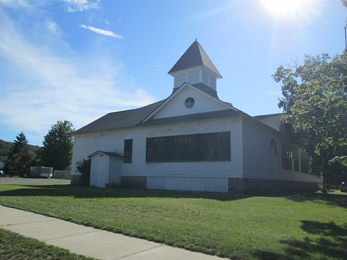
Stopped in the convenience store for some batteries; chatted up the clerk while I swapped them out. We commiserated about the climb out of town.
Back to Frankfort
But you know, the climb wasn't all that bad! Not like last year. Less heat is a good thing. By now, my feet were not entirely happy (wearing sandals, not the Sidis), my legs were crabby (running the day before a 200k. Not smart thinking) and my undercarriage was annoyed as well (not the new saddle).
Pedal pedal pedal. Pass the Platte River Outfitters. Pedal. Pass the Manitou (they serve a really good whitefish). Finally turn onto Sutter Rd, and the spectacularly bad pavement. Over the top. Down (better road quality).
Right on M-22 again. Pass the cottage, ringing my bike bell. Past the Assembly and Crystal View, over the 4 rollers into town, and finish at the grocery. I had originally wanted for Fitz and Mark to meet me at the new brewpub, and finish there, but they weren't interested in that this evening. Got a Coke, and sat outside in the shade. Fitz called; where was I? He and Mark were on their way into town, and came by to collect me. We went by the Kool Spot for ice cream before going back to the cottage and cooking dinner.
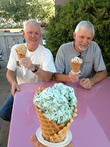
(Fitz had figured I'd be back soon; checking my SPOT track confirmed that I was indeed quite close. And 5 minutes later I was dinging the bike bell as I rode by.)
136 mi for the ride, 14.02 avg pace (on Bleriot. Wow) 4900 vertical feet. And you thought it was flat.
140 mi for the day.
Aftermath
I called the sheriff again about the flaggers. They suggested I file a formal complaint with the Michigan DOT. They would also stop by and chat with the road construction crew. I did indeed file a complaint and copied the construction company. Have not heard back from the construction company, but the Michigan DOT did respond, and will review bicycles and construction zones with the construction company.
Remember that run the day before? My left hip/leg proceeded to get really, really unhappy. Something about running on a sandy, slanted beach perhaps. Even if it was 1min run/2min walk. Stairs were a problem. Moving from sitting to standing and back was a problem. Flying on airplanes was a problem. Sleeping was a problem. All better now, but OW while it lasted.
------------------------------------------------
*Road Surfacing – The existing road surface at the time of designation should normally be
continued. Necessary changes in surface to improve safety, drainage, reduce maintenance
problems, etc., may be cause for undesignating roads if such changes disturb the natural
beauty characteristics for which the road was designated.
I take this to mean that Sutter Rd will never be repaved.
But I didn't have a chance to ride it until last week, when we were up there for vacation. Printed a card and cue sheet, and figured I'd negotiate with the route owner when we got there.
I always take Bleriot to Michigan. Can't quite see dumping the Sweetpea on the beach.
Last Thursday was the day - good weather, and Fitz and his brother had serious golf plans.
Wednesday, I went for my first run in 8 months.
Got up WAY too early - 5:45am. And, since in Michigan, we really don't deviate much from West Coast time (sleep in, stay up past midnight socializing), it stung a bit. The route has many places for food, so I had packed some preferred non-perishables from home, and bought some Gatorade and Fig Newtons and called it good.
Rode into town (3 miles, the "wrong" way) for the starting receipt at the grocery, then headed back north. Stopped briefly at the cottage to get something I forgot.
Frankfort to Empire
Other than the climb on Sutter Rd, which has the worst pavement ever, the most challenging bit on this stretch is the gentle climb over the hill to Empire. I found a golf ball on the way up; stopped to pick it up. Fitz comes by here every year to hunt golf balls; it was his father's favorite hunting spot. The cottage never lacks for quality golf balls.
Descending Sutter (totally the worst pavement ever), my metal thermal bottle hit the pavement. I stopped to retrieve it, only to discover the water bottle cage holding it had broken off the bike. Worst pavement ever. Stuffed the bottle in my front bag, and knew I'd be totally OCD about no second bottle cage the whole ride.
Sutter is a "Natural Beauty Road"* which explains the pavement condition.
A driver tried to right hook me at Platte Rd. She says SHE'S a cyclist and always stops there. I just wished she'd been paying better attention.
So, over the hill, and through Empire.
Empire to Glen Arbor
Too bad this is only 8 miles. Highest quality shoulders the whole stretch, plus the ride on the causeway between Glen Lakes. Pretty flat. My pace had been nicely quick, for me, and I was supposed to be having an outgoing headwind.
Just out the far side of Glen Arbor, I spotted a bicycle rental/service/sale shop. I bet they could sell me a bottle cage. Not only that, they kindly loaned me a 4mm Allen wrench (got one on the multitool, but it is a little bulky to install water bottle cages), admired the bike and chatted about my planned ride. Nice folks.
Continued on.
Glen Arbor to Leland
18 miles, slightly less nice shoulder. Maybe a little more rolling.
A few miles north of Glen Arbor, I came upon some road construction. Waited in line with the other cars, applied sunscreen, removed superfluous clothing. We got the go, so I went. Or tried. The flagger told me I couldn't ride through. I would have to walk, because cars would pass me and go too far over. Or something like that. He also called me "you people" and said he'd call the cops if I rode. I said I'd go after, and he said I'd be holding up traffic. Dammit. I am traffic! He made me walk facing traffic. Well, it was a bit of a ways to the end, and the oncoming traffic was released and fortunately there was a driveway to jump onto. I'd run out of flat area to the left. By then I was far enough along that I hopped on my bike and rode through. The far end flagger got on his phone as I passed by.
A bit later, I saw a car from Sutton's Bay Bikes, and flagged the driver down. We chatted, because I wanted to know if there was some weird thing in Michigan traffic statues regarding bikes and construction zones. No, there wasn't. He knew which construction firm it was, too, and suggested I call the Leelanau Country Sheriff.
When I got into Leland (passing by Good Harbor Farm and Good Harbor Wine), about 40 miles, I pulled into a deli, ordered a sandwich and pickle, and sat down and called the sheriff. Had a lovely chat with the Lieutenant, and he said that if they wanted to call the cops, he'd be very happy to talk to them.
Ate half the sandwich, drank something, topped off the bottles, and headed out.
Leland to Northport
The terrain definitely gets a little more rolling here, and more meadows and less mixed forest. There are some interesting (in the architectural sense) homes through here.
In Northport, M-22 takes a turn for the south, and I continue through town on M-201. The cue sheet has several turns, but they are all following M-201, until the right turn on 5th. Or 6th. Either one.
In any case, a turn onto North Shore Rd. Starts out paved, but eventually turns to a nice dirt/gravel hardpack for the last .7 mi, and runs right alongside the bay. It is also a Michigan "Natural Beauty Road". *
Northport to the Grand Traverse Lighthouse
Popping out onto Woolsey Lake Rd, the route then heads north to Leelanau State Park and the Grand Traverse Lighthouse. It passes a nifty little airport, a few farm stands, a barn-red farm complex, some boring bits, and finally, the park.
You know how the Rules say you should get a stamp at a control, or, failing that, because NO ONE has rubber stamps anymore in the USA, get a receipt? Well, the lighthouse gift shop has a WONDERFUL rubber stamp! Finally!
Topped off bottles, putting my Carbo-Pro/EFS mix into one of them. Didn't stick around long; that Coke float in Northport was calling.
Back to Northport
Stopped for a Coke float at Kamp Grounds, a cute ice cream/coffee shop. (the entire town of Northport is cute, as are Leland, Glen Arbor, and Frankfort). While waiting in line, the man in front asked if I had ridden to the lighthouse. Why yes I had, and was headed to Frankfort. And how far was that? About 60 miles. "Oh." (pause) "That's.... nice." For good measure, I told him I started there as well.
I did sit outside in the shade and thoroughly enjoyed that drink.
Back to Leland
Ate the other half of the sandwich.
Back to Glen Arbor
Ah, yes, I'd have to pass through that construction zone again. Heading south, the flagger saw me coming and turned his back (flaggers are NOT EVER supposed to do that). Southbound traffic had the go, so I continued on, and was safely passed by 3 or 4 cars. But surprise, surprise, the flagger at the other end let the northbound traffic go somewhat before I had cleared the construction area, and I had a line of cars headed right at me. We all slowed down and were careful, and it worked out. No honks at all. The flagger at the other end, same one from the morning, ALSO turned his back on me. Ooooh. Someone was going to hear about this.
That done with, I rode the last 4 miles or so to Glen Arbor, and stopped for a Red Bull and more stuff to drink. It was hot, but not oppressively so. 30 more miles.
Back to Empire
Shortly out of Glen Arbor, I pulled over to turn my rear light back on - many road stretches totally shaded by trees (tunnels!), and I wanted the additional visiblity. Hmm. Dead. No batteries in the saddlebag (I still haven't found them). Oh well, Empire was only 8 miles ahead.
Stopped in the convenience store for some batteries; chatted up the clerk while I swapped them out. We commiserated about the climb out of town.
Back to Frankfort
But you know, the climb wasn't all that bad! Not like last year. Less heat is a good thing. By now, my feet were not entirely happy (wearing sandals, not the Sidis), my legs were crabby (running the day before a 200k. Not smart thinking) and my undercarriage was annoyed as well (not the new saddle).
Pedal pedal pedal. Pass the Platte River Outfitters. Pedal. Pass the Manitou (they serve a really good whitefish). Finally turn onto Sutter Rd, and the spectacularly bad pavement. Over the top. Down (better road quality).
Right on M-22 again. Pass the cottage, ringing my bike bell. Past the Assembly and Crystal View, over the 4 rollers into town, and finish at the grocery. I had originally wanted for Fitz and Mark to meet me at the new brewpub, and finish there, but they weren't interested in that this evening. Got a Coke, and sat outside in the shade. Fitz called; where was I? He and Mark were on their way into town, and came by to collect me. We went by the Kool Spot for ice cream before going back to the cottage and cooking dinner.
(Fitz had figured I'd be back soon; checking my SPOT track confirmed that I was indeed quite close. And 5 minutes later I was dinging the bike bell as I rode by.)
136 mi for the ride, 14.02 avg pace (on Bleriot. Wow) 4900 vertical feet. And you thought it was flat.
140 mi for the day.
Aftermath
I called the sheriff again about the flaggers. They suggested I file a formal complaint with the Michigan DOT. They would also stop by and chat with the road construction crew. I did indeed file a complaint and copied the construction company. Have not heard back from the construction company, but the Michigan DOT did respond, and will review bicycles and construction zones with the construction company.
Remember that run the day before? My left hip/leg proceeded to get really, really unhappy. Something about running on a sandy, slanted beach perhaps. Even if it was 1min run/2min walk. Stairs were a problem. Moving from sitting to standing and back was a problem. Flying on airplanes was a problem. Sleeping was a problem. All better now, but OW while it lasted.
------------------------------------------------
*Road Surfacing – The existing road surface at the time of designation should normally be
continued. Necessary changes in surface to improve safety, drainage, reduce maintenance
problems, etc., may be cause for undesignating roads if such changes disturb the natural
beauty characteristics for which the road was designated.
I take this to mean that Sutter Rd will never be repaved.
Sunday, July 29, 2012
Permanent #1603: Frankfort to the Grand Traverse Lighthouse (and back again)
(It's official!)
Route map/gps track
Cue sheet
Reg form
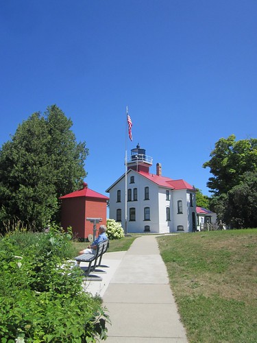
I always take a bike along when we go to the family cottage just north of Frankfort, MI. My favorite ride is the loop around Crystal Lake (25+ miles), but for several years, I've been wanting to get in a longer ride. And, every year, something distracted me from that (sister-in-law: "want to pick berries and make pie?" well, YEAH).
Not this year. After looking at the maps, it seemed to me that a ride with a real destination would be best. I'm a sucker for lighthouses. The Grand Traverse Lighthouse was just about the right distance away.
I started from the cottage. For the perm, you'd start in Frankfort proper, a few miles to the south.
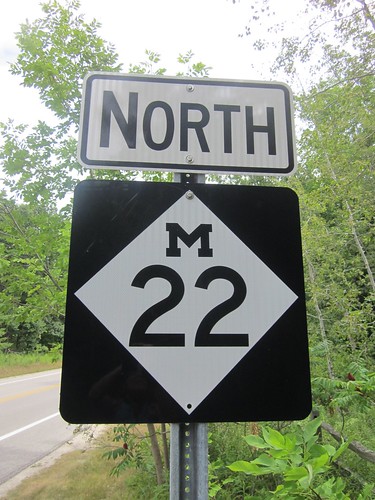
Much of the route is on US Bicycle Route 35, although the route is not signed.
The cue sheet makes it sound a bit more complicated than it really is. Except for the Sutter cut-off early on, the route follows M-22 all the way until it dead-ends at M-201 in Northport. Then north from there, mostly, but not always following the LIGHTHOUSE THIS WAY signage.
Given many of the road and place names, it would appear that much of the population is descended from Scandinavian immigrants.
Get to Leelanau State Park and the lighthouse, sightsee, and then return the way you came.
The route is pretty flat - Sutter is the steepest bit, and there are noticeable climbs south of Empire and south of Northport.
There are many, many cyclists out along this route. So many that I was never asked where I started from or how far I was riding. Drivers are very considerate.
What you'll see:
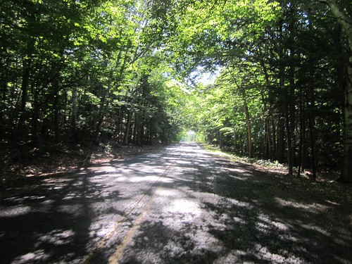
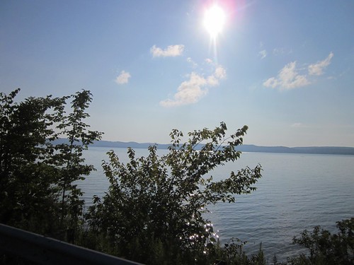
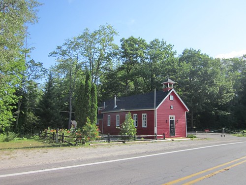
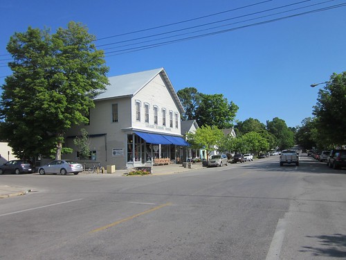
all the pics here
Route map/gps track
Cue sheet
Reg form
I always take a bike along when we go to the family cottage just north of Frankfort, MI. My favorite ride is the loop around Crystal Lake (25+ miles), but for several years, I've been wanting to get in a longer ride. And, every year, something distracted me from that (sister-in-law: "want to pick berries and make pie?" well, YEAH).
Not this year. After looking at the maps, it seemed to me that a ride with a real destination would be best. I'm a sucker for lighthouses. The Grand Traverse Lighthouse was just about the right distance away.
I started from the cottage. For the perm, you'd start in Frankfort proper, a few miles to the south.
Much of the route is on US Bicycle Route 35, although the route is not signed.
The cue sheet makes it sound a bit more complicated than it really is. Except for the Sutter cut-off early on, the route follows M-22 all the way until it dead-ends at M-201 in Northport. Then north from there, mostly, but not always following the LIGHTHOUSE THIS WAY signage.
Given many of the road and place names, it would appear that much of the population is descended from Scandinavian immigrants.
Get to Leelanau State Park and the lighthouse, sightsee, and then return the way you came.
The route is pretty flat - Sutter is the steepest bit, and there are noticeable climbs south of Empire and south of Northport.
There are many, many cyclists out along this route. So many that I was never asked where I started from or how far I was riding. Drivers are very considerate.
What you'll see:
all the pics here
Subscribe to:
Posts (Atom)