Showing posts with label 300k. Show all posts

Thursday, April 23, 2015

Three Capes 300k, Stupendous Weather Edition

The next weekend after the fleche offered the Three Capes 300k.  Ok, well, really the Two Capes, because Cape Meares Rd is still falling into the ocean.

Michal thought he'd ride with me.  He and Cyndi arrived the evening before, and we were up at 4 to eat and get out of the door by 5, to start at 6.

The weather was going to be outstanding.  Stupendous.  Breathtaking.  Michal: "are you wearing a long sleeve jersey or a short sleeve jersey?"  Me: "yes".  (Layers)

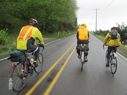
So we both headed out wearing two jerseys, and, at least in my case, armwarmers.  And our Gore Visibility vests.  Michal realized he had left his gloves behind.  I had a couple pair in my bag, and the wool overgloves were really more his size than mine, so that was solved.

I have described this route for you so many times that I will just share pictures for a bit.

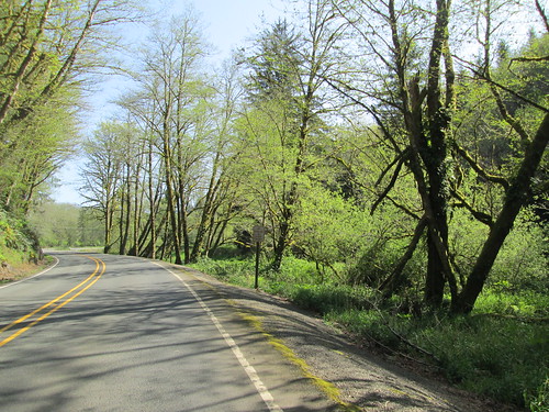
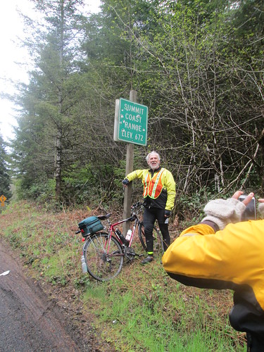
Climbing up to the Coast Range summit on Hwy 6

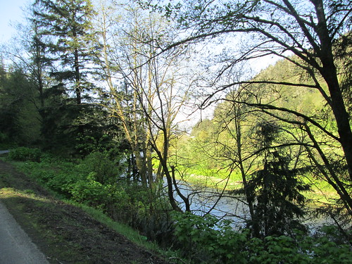
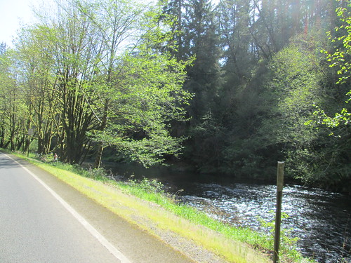
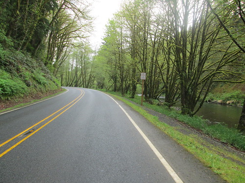
Wilson River (headed down)

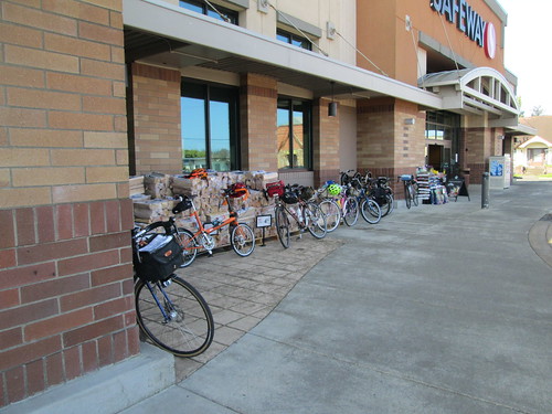
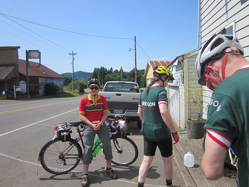
Rando bikes at the Tillamook Safeway

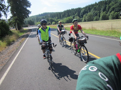
Arrived in Tillamook; Michal gave us 20 minutes.  I got some food, ate some food, and removed a lot of extraneous clothing.  We headed out to the Bayocean/Cape Meares out and back.  There were some cows.  I reckoned they were primordial Tillamook Cheese cows.  Michal was sure they were the primordial Tillamook Ice Cream cows.

"Those are the ice cream cows"

Jeff S, on Bayocean Rd

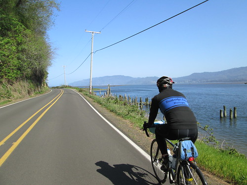
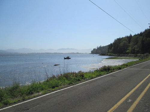
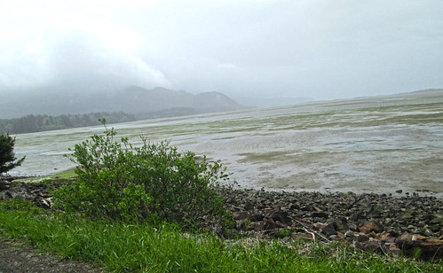
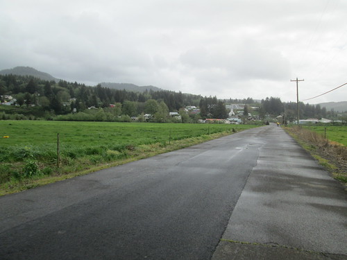
Along Bayocean Rd, looking inland

There was a headwind, which turned into a delightful tailwind on the way back out, and south around the cape.  Bit of a climb, then down to Netarts Bay.

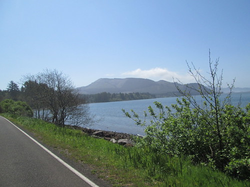
Looking southward; Cape Lookout

As always, I forget how steep the Cape Lookout climb can get.  Every year since 2007.  Slogged on up, remembering that just when I wanted to fall over and die, Anderson Viewpoint would be right around the corner.

Pacific Ocean, from Anderson Viewpoint

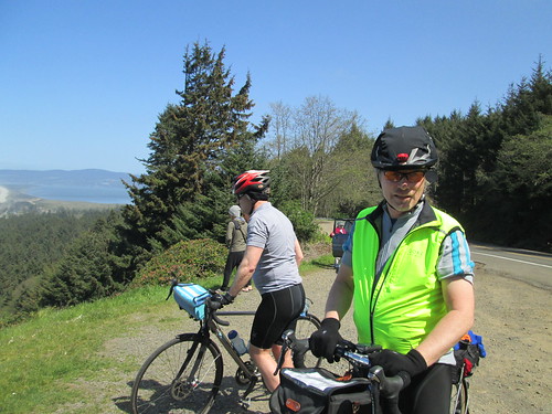
Michal was waiting there, and, as I stood there gasping, Ray, Steve, and Jeff pulled up.  We all stood and gasped a bit.  Jeff: "that was.... special".  Then the final push to the top - not as steep, but still challenging. (Pro Tip: the trailhead parking lot is the summit.)

Ray decides it is warm enough

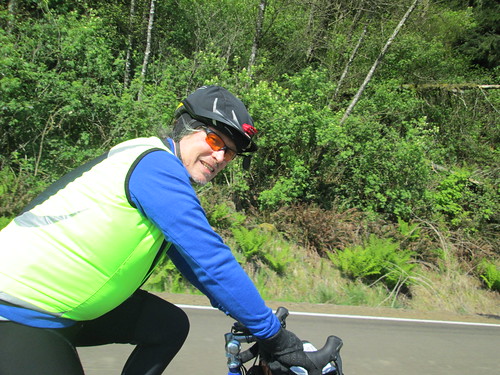
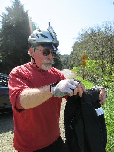
Michal and... Jeff S?

The road quality on the descent has definitely declined.  So, care was exercised.  Good descent wasted.  Eventually we arrived in Pacific City.  Michal and I had decided to stop at Grateful Bread, but when we arrived, it was quite crowded.  Sad.  I was looking forward to soup and a sandwich.  We went back to the convenience store.  I had a big cup of coffee and an ice cream bar.

We then headed out via Old Woods Rd to pick up Hwy 101 N through Cloverdale to Hebo, and thence onto another breathtakingly gorgeous 15 miles to the Coast Range summit.  Lowest summit ever, and a very gentle climb.

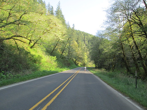
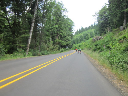
Hwy 22, back up over the Coast Range

Hwy 22, back up over the Coast Range

Hwy 22, back up over the Coast Range

The 9 mile descent seemed longer than it should have, and when we arrived at the Grand Ronde Store, I was bonking.  So I sat and ate things and sat, and eventually the shaking subsided.  We headed out, and I really was starting to feel much better.  Noted that the Casino convenience store has a hot deli offering; notes for next time.

Through Willamina (ooh, new gas station/c-store; pause for banana and V-8), Sheridan, past the penitentiary, turn left and oh my, where did that tailwind come from?  It wasn't supposed to be there, but I wasn't going to argue.

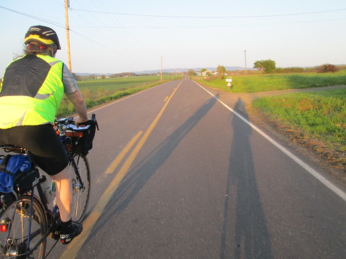
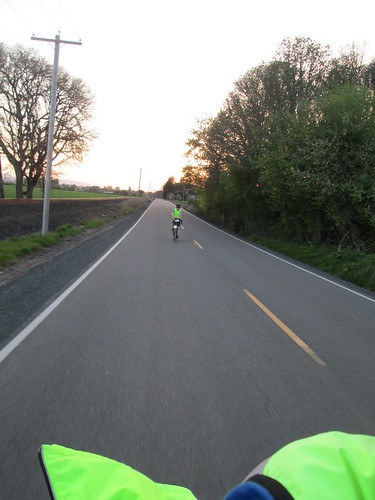
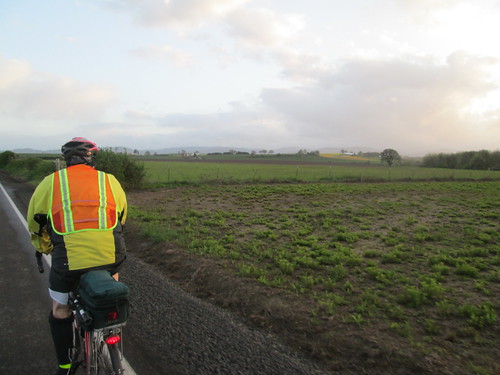
Tailwind on Ballston Rd

Looking back

Sunset, Broadmead Rd

Brief stop for the info control, through Amity, and on to Dayton.  We did pull over before Dayton to add more layers.  Into Dayton and... another bonk.  So, more sitting, eating and sitting.  Michal pulled my remaining layers out of my bag and I put them on (long sleeve jersey and windbreaker), and got me some hot chocolate, which helped a LOT.  Off again.

I was now wearing 4 layers - two jerseys, a windbreaker and my reflective vest.  Lots of unzipping and zipping as the temperature fluctuated.

North.  Through Lafayette.  Over the Abbey Rd hill.   Down Ribbon Ridge. Onto North Valley.  Less than 20 miles to go.  Onto Fern Hill, 5 miles, tops.  Past the last little rise, down past the red barn.

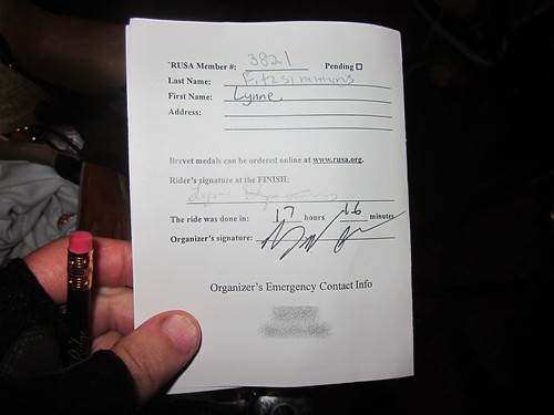
Done, at 12:42am.  Rather slower than I had wanted it to be, but a bit quicker than the 300k of a month ago.

The weather was so nice that Keith and Cyndi were waiting for us out on the hotel porch.


Monday, March 9, 2015

Grab Bag 300k, or, Someone Has To Be Last

This route was last run in Feb 2011.  I rode the 200k with Cecil, and that was plenty far enough.  This year, after a careful examination of the calendar, I realized that this would have to be my first 300 of the season, because the fleche is not far off. (Note to self, get the route finalized!)

There were people registered that I could have conceivably ridden with.  They weren't at the start on the bright, sunny (UNSEASONABLE!!!) Saturday morning.  Chris W offered to tow me :-) Visited around, and got a room key from Michal.  He had offered up their room floor, because driving home after a 300k has been chancy.

Did I mention that the weather was unseasonably excellent?  Sun, 60's, clear, almost full moon.  Light winds.  Amazing.

We started out at 7am, and the pack rapidly sorted itself out (everyone passing me).  Eventually I fell in with Kevin.  Sadly, he was only riding the 200k.

Kevin, and the morning fog on North Valley Rd

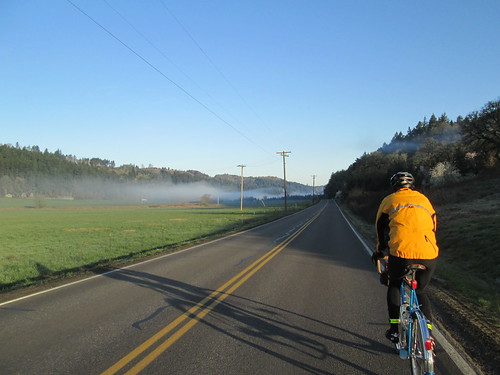
Wonderful fog on North Valley Rd, just enough to snap some pictures, but not enough to be annoying.

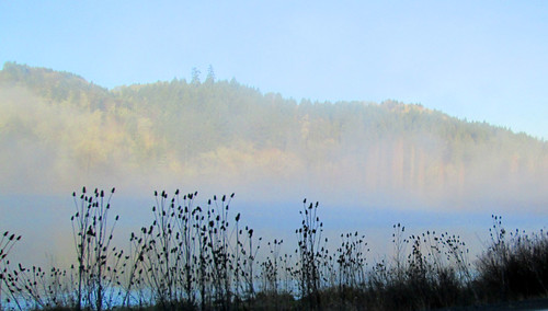
Love the morning fog on the wetlands

Aside: I had thought to finish between midnight and 1am.  Michal helpfully created and sent me a schedule, with a "this will work if you maintain a 13mph average".  Mmm.  The first loop had a whacking steep 8 mile climb towards the end.  Well, I'd certainly give it a go.

We arrived at Maggie's Buns (first control, in Forest Grove), to find Keith K outside signing cards, because "it is a zoo in there".  Indeed it was, so I had him sign my card, and relieved another rider of the necessity to eat the entire sticky bun he was carrying around.

Kevin and I then set out again, ahead of (my) schedule.  We got as far as the golf course, where he decided to pull over, and I went on.  Caught up with the only other woman riding (Robyn, riding the 200k) for a bit, then we split up.

Made it to Sherwood, and Sesame Donuts, without incident.  No other riders around.  I got a bagel with cream cheese, ate half, and saved the other half for later.  Off to that climb.  The route took us through neighborhoods and a bike path, and, after crossing Hwy 99, the climb started.

I've ridden it several times before, but the last time was Feb 2011 :-)  The climb goes up Kruger, Leander, and Chapman roads, to the Gibbs Cemetery, and, for extra vertical feet this time, continued along Mountain Top Rd, for an info control at Neill Rd.

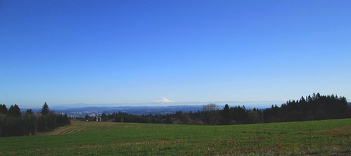
Mt Hood, from The Climb

Where, as I suspected, I found Susan F and some stickers.  She lives right up there.  Keith K and Tomas were also there,  So I got to ask Tomas about a Ride With GPS feature, and chat about cue sheet text with Keith and Susan.

Next up, the 5 mile drop to Newberg.  It was on Hwy 219, so I pulled over a couple of times to let some cars get by, but I was otherwise completely enjoying the descent.

I didn't stop in Newberg.  I figured I could get what I wanted in Lafayette, which had a c-store and would be a much quicker stop.  Ate the second half of that bagel along the way.  Because of the climb, I was now 30 minutes behind.  Maybe I'd make it up on the next two loops.

Or not.  Last time I rode this, it was gray and gloomy and chilly and February, and I started "hearing the banjos", as Cecil puts it.  It was all nice and sunny and warm, and I wasn't hearing banjos.

Fluffy sheep

Four years ago, this was grey, gloomy, and scary.

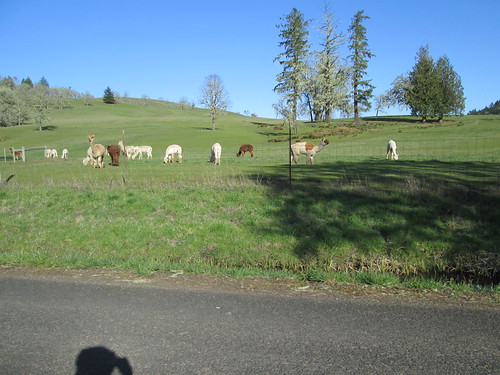
However, I'd completely forgotten about all the steep little lumpy bits from the Westside Hwy all the way to the Sheridan Dairy Queen.  And the bugs.  Lots of bugs!  Yellow ladybugs, and some other winged pest.  On the bright side, the fluffy, adorable Pucara Alpacas were all out in their field.  So I didn't make up any time, but I didn't lose any, either.

Alpacas!

There were a few cyclists in the Dairy Queen, as well as many other people.  But it turned out they were just standing around, so I ordered a kid's chicken strips meal.  I got the dessert first (butterscotch Dilly Bar), which I consumed while waiting.  Greg P was there, looking kind of toasted.  He asked after Kevin, but I hadn't seen him since we parted ways at the golf course.

Now headed back to Newberg, to finish off loop 2, and change my shoes.  I was wearing new ones, and I really wanted them to work.  But they weren't. :-(  I'll have to see if I can return them.  I was not ENTIRELY stupid; I had my winter boots and sandals in the car, which I could visit every 100k.

The route back went through the countryside north of Amity; lots of roads I am not familiar with until intersecting 233 outside of Dayton.  Lots of fields with rows, some horses, and a big, silent chaser dog that I didn't even see or hear until the owner called it off. (!)  Not even jingling collar tags!

rows of baby trees

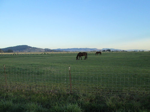
Horses and trees

Got to Dayton.  I had planned to stop at the Center Market; needed my V-8, more water and a banana.  Parked outside were two incredibly cute Brownie Girl Scouts, hawking cookies.  If only I'd had room to carry them...  We did visit a bit while I sucked down the V-8.  They are cookie-selling rockstars, 900 boxes each.  Speaking as a former Girl Scout Leader, I can tell you that is amazing.  Especially in Dayton.  I am not sure 900 people live there!  The leader mentioned that another rider had been through a few hours ago, wondering about the route (Kreder Rd?  Where was that?).  She said "he was going to Newberg by a really stupid route".  Indeed, so was I.  Exact same stupid route, except I knew that Kreder Rd was accessed by a footbridge over the river after a tiny bit of off-road riding.

So, only 9 or so miles to Newberg.  I wasn't expecting any problems or delays.  Gah.  The traffic was way backed up into and through Dundee, and I couldn't scoot by on the shoulder because ODOT had repaved 99W (yeah!), but made the shoulder MUCH narrower (boo!), so the giant enormous Safeway semi was blocking.  I couldn't get around it, for fear it wouldn't see me.

So, that sorted, I got into Newberg, and it was getting dark.  Now, I can reliably navigate myself to the Thriftway, the public parking lot, and the Burgerville, but the route was a bit past that.  Hard to read the street signs, so a bit of a navigational pause.  But I did get to my car, swap out my shoes (toes/forefoot breathe HUGE sigh of relief), and go off in search of the Circle K for my open control receipt.  They assured me they were open 24/7.

So, full dark now, and somewhat later than I wanted to be starting the last loop.  I still had plenty of time, and the last loop had absolutely NO demanding territory.  As I was making the second turn onto Champoeg Rd, a whole peloton of randos came the other way.  We exchanged hellos and continued on.  I'd run into 4 or so more groups headed back.  Leaving Gervais, after a stop to pull on another layer, I saw Michal and another rider heading in.  Those would be the last riders I'd see; the loop had a lollipop through Silverton.

The stars were quite bright, and the moon was up, but not quite bright enough to cast a shadow.

Got into Silverton, and discovered my phone was completely dead.  I stopped at the first food place on the way in - no, they had no more soup and could only provide fried food.  Kept on.  There is allegedly a Subway in Silverton, and it was supposed to be open, but I didn't see it.  Last chance, the Oak St Market, at the top of hill.  They were open.  I elected to get a Red Bull, and eat/drink the food in my bag.

The route out of Silverton was familiar.  I could even picture it in my head, since it was dark :-)  At least until 114th St.  My bike computer was tracking nicely with the cue sheet, and here was a road in the middle of nowhere, sadly without a street sign.  There was indicated to be another turn a bit further along, so I went with it, and found a "114th St" sign there.  And then it turned into Waypark, at which point I no longer actually needed the cue sheet, except to reassure myself as to how far I had left to ride.

By now you might have suspected I was riding solo, in the full dark, in somewhat rural territory.  It was great!  I had the roads ALL TO MYSELF, but for the extremely occasional vehicle, all of which passed me with plenty of room.  I had my iPod in my bag, but never felt the need to get it out.  So, yeah, at this point, I am over the stressing over riding around all by myself in the dark thing.

Through Gervais (store closed, it was 12:30am), then mindlessly north.  Past Champoeg Park.  Over the Willamette River.  Happy it was dark and I couldn't see off to the sides, because I still don't like crossing the river on Hwy 219.  Not that it mattered, because no one was on the road but one stupid randonneuse.

Into Newberg, looking for some place to get the finish receipt.  I started heading west on Hwy 99 toward the Circle K, but saw the Open sign at an expedient food establishment.  Went to turn into the driveway and bam!  Not quite the driveway.  However, the parking lot was full of extremely courteous college students, who dusted me off and made sure I was ok.  I was, but for my pride.

By now it was Daylight Savings Time and 3:15am.  The cashier wrote 2:15 PST on my card.  (The RBA was also watching my SPOT; she knew when I'd finish).  Sat down with a lemonade.  I really didn't want to eat anything by now.  Whew.  Done.

No sleepies.  No low points.

Rode back up to my car, loaded up the bike, and drove around the block to the motel.  Shower.  Sleep.  After breakfast the next morning, came home, ate a bit, and took another very long nap.

All the pictures.

Wednesday, April 23, 2014

This 300k Was Just a Bit Too Epic

Next up, the 300k.  The Oregon Randonneurs classic route, the Three Capes.  Not, of course, without some route planning excitement.

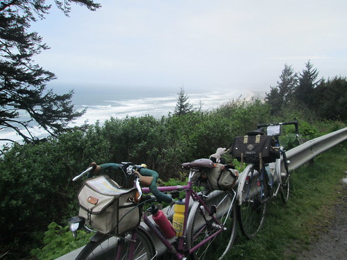
some bikes at Anderson Viewpoint

I didn't do the pre-ride or any of that.  But when John Henry posted that he had done the pre-ride, and I looked at his distance, rather MORE than 300k, I delicately inquired of the RBA what route changes were in store.

The Little Nestucca Highway was closed - all those quaint, narrow, single lane bridges were shrink-wrapped for repainting.  Something about lead.

We tossed around various reroute options to get back to 300k.  We successfully removed the Timber Road out and back (not my favorite).  And eventually, with judicious tweaks, got it right there.  And you wonder why you were sent out of Forest Grove on B Street. .02 miles, that's why.

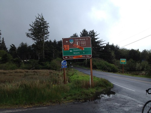
Now, toss in the additional quirk of Cape Meares Drive is sliding down the hill, and that road is closed to traffic.  Navigable by bike, but closed.  Easy route around that, only 1.5 miles additional, plus, well, it skips climbing Cape Meares.  I was crushed. (not).

Not going that way today.

Two of my fleche teammates were coming down from Seattle to ride, and Narayan proposed that we ride together.  Neither he nor Geoff H had ridden this before, so they had the added bonus of someone who knew exactly where she was going.

I made myself an updated cue sheet with all the detour options I was choosing to take, because I wanted to verify the calibration on my bike computer.

The ride took place during Passover, making my on-route food options vanishingly small.  Bananas.  Things to drink.  French fries.  I made up a variety of rice cakes, probably way too many. (I eat rice and legumes during Passover.  Check out the Kitniyot Liberation Front :-) )

Oh, and the weather was going to be probably the worst of any of the years I have done this route.

Geoff and Narayan appeared on Friday night.  We planned on a 4am wakeup, which would get us out the door at 5, arriving in Forest Grove with plenty of time to check in, faff, and socialize.  Which we did :-)

Not raining at the start.  We saw many riders on the out and back on Carpenter Creek.  Then NW on Stringtown, Gales Creek, Hwy 6...  Over the top, and the long descent into Tillamook.  It was windy, in a headwindy sort of way, but very light traffic.  And then it started to rain.  After awhile, I figured that I would not make the 10-12 miles remaining to the control in any sort of not sopping wet state, so we pulled over under some trees and donned raingear.  Ah, better.

Tried to make it quick at the Safeway, after all, I wasn't buying anything complicated.  Hah.  And then, as we were pulling out, I realized, while I had bought things, there was no signature and no receipt.  (How long have you been doing this, Lynne?) Quick trip back into the store for a sig from the Starbucks counter.

Bayocean Rd, past Tillamook

Geoff, Narayan and Gary, on Bayocean Rd

Now for the Bayocean out and back, plus a little convincing to Narayan that we were indeed on the route.  Again, saw riders headed back; waved at Michal.  He was 11-12 miles ahead at this point.  We picked up Gary Smith, and the four of us rode out to the control turnaround.

On the way back (tailwind!), Geoff pulled over, and we continued, figuring he'd catch up again before long.  Turned south, into a serious headwind.  This was the detour, and a new road to me.  I knew it was fairly benign until the last pitch before dropping down to Netarts Bay.  The climb in the headwind was pretty special.  A bit more traffic, because it is the main route to Netarts and Oceanside.  Some driving in an entitled, privileged sort of way, as I was trying to not get blown across their path.

Finally down to Netarts Bay, one of my favorite stretches of the route.

Netarts Bay, with Cape Lookout looming

And then up Cape Lookout.  Every year I forget how very steep it gets.  There I am, chugging along, and suddenly it is painfully steep.  And then there is Anderson Viewpoint, a very good place to stop, take pictures, and loiter around waiting for Geoff.  Another rider came up (Gary? Mike?) and said Geoff would be right along, so we waited, and, indeed, he was right along.  There were serious headwinds from the south this entire leg.

Narayan at Anderson Viewpoint

The final push to the top, chatting with Jason H on the amazing availability of coffee drinks at his place of employ, and then down and another intense cloudburst.  I am not sure if there was hail, but I'd put money on sleet.  So, the descent was a bit less fun than planned.  There was another rain hit on Sandlake Rd, then a couple of gentle climbs and we were in Pacific City.

I lobbied for the Cape Kiwanda RV Park store - sandwiches and food for those ordering, and a mini-grocery for those not.  One bathroom.  Not a relaxing stop for me, filling up bottles, waiting in line to buy things, and such.  I really wanted to sit down, too.  Kevin and Jeff were there at some point, along with other riders.  Ray, Lesli, and Peg were probably way ahead somewhere.

Finally, turning inland!  We went north through Pacific City, out on Old Woods Rd to pick up Hwy 101 at Cloverdale.  Another new stretch of road, gently rolling, lots of farms, and very green.  Cloverdale to Hebo wasn't bad at all.  The shoulder wasn't very wide, but it was clean, and drivers were generally courteous.  Mike R and I chatted about 650B tires.  Now, if there was a Compass 34mm width tire, I'd be all over it.

Cloverdale up ahead, from Gist Rd

Then left onto Hwy 22.  I had ridden it in the other direction, on a very wet perm, back in 2011.  We (we now comprised of Lynne, Geoff, Narayan and Mike), paused to reconfigure clothing, as it looked like the rain had given it up for the day.  Geoff was also trying to lose his mudflap, so I produced a ziptie for an on-road repair.

Three Rivers Hwy, headed to the summit and Grand Ronde

Very, very gentle grade along the Nestucca River, for miles and miles.  Passed Dolph Junction, where the Little Nestucca Rd joins in.  Bit more of a grade, not much, wonderfully mossy trees, and... Sourgrass Summit!

Geoff at the summit (Narayan's elbow)

Mike Richeson

Narayan

Pause for pictures.

And then downhill, with the expected tailwind.  Into Grand Ronde, stopping at the store on the corner.  I announced that I was taking a few minutes, and sat.  Ate something.  A very courteous rider had purchased and left a can of 3-in-1 oil.  More than a few of us had squeaky chains, so we put it to good use.

Useful gift from faster riders.  Grand Ronde.

More tailwind along Hwy 18, Yamhill River Rd, Willamina (beware, Tracks of Death!), Sheridan, and then our last on-course control in Ballston.

Colorful fields ahead to the left, and Geoff, headed for Ballston

It was not yet dark when we arrived in Amity.  Narayan and Mike had fallen off a bit (I was happily sitting on Geoff's wheel and enjoying the tailwind), so we paused to regroup.  Off to Dayton.  By now, in complete and total autopilot.  And we arrived at the Dayton Center Market and... bonk.

Ate a gel.  Drank something else.  Took some Endurolytes. Pulled on my jacket, because I was shaking, and sat inside for a bit.  After awhile, we all took off again, at a somewhat less ambitious pace.  Got to the Trappist Abbey on Abbey Rd, and needed to sit down again.  I really really wanted to quit here (didn't help that we had started up on the Abbey Rd hill, and, while not long, can be a bit painful late in a ride).  Tried to quit.  Called Cyndi, but she basically told me to suck it up and finish.  Ate something.  Took some more Endurolytes; put some Fizz tablets in the sports drink bottle.  Onward.  My stomach would say eat something, I'd take a bite, and it would get crabby for awhile.  The guys all stayed with me.

Our pace picked up to 11-13mph, so I kept muttering "less than an hour", then "less than 30 minutes".  And so on.  Turned onto Fern Hill.  Less than 5 miles to go.  Finally rolled into the parking lot and walked into the Grand Lodge at 12:17am.

Cyndi and Michal had hung out to see me finish (oh THANK YOU!)  I was shaking again, so Cyndi got me a Coke, which helped.

Nothing like a bonk to take your mind off the fact that you and your new saddle are still not good friends.  And, strangely enough, my triceps hurt.  This has not happened in YEARS.  Wrestling with the crosswinds?  Too much weight in the front bag?  Dunno.

After sitting and visiting with them and Susan F, and watching the shaking subside, we headed on back home.

Well, it was faster than last year's hypothermia-fest out of Tumwater.  I was riding the entire time in a group of riders, which, for me, on a brevet is a rarity; at most I am riding with one other person.  And it was very, very nice.

18:17 total time, with a riding average of 12.29 mph.

I was delighted that the distance on my bike computer was only .3 mi difference over the 187.9 miles on my cue sheet.  This can be easily accounted for by pullouts at controls and Anderson Viewpoint.

All the pictures here.  More mossy trees and scenery.

Saturday, April 13, 2013

Moving to the Top of the List - The Olympia SIR 300k

Which list, you might ask?  The possibly the hardest ride I have ever done list.  This one moves past my last Bikenfest outing.

Because of someone's baby shower date scheduling, I needed to ride a different 300k. (It would be really, really bad if Grandma wasn't there.  Really bad.  Especially since Aunt and Great-Grandma won't be there.)

Susan and Asta thought they'd participate as well, so a close to the start and the finish hotel room was secured.  They both appeared at the same time on Friday afternoon, and, having removed one rear seat, and removing one front wheel (Asta's), we successfully stuffed 3 bikes, 3 cyclists, and their stuff into the Element and drove north.  Of course on a Friday evening it took FOREVER to drive through Portland and cross the I-5 bridge.  But we didn't care.  We had company.
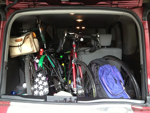
Three bikes, three people in the Element

Dinner in Olympia at Casa Ramos.  Some people were overwhelmed by the choices in the menu :-)  Me, I figure it isn't my last meal and try to order something not too big and not too expensive.

Susan played the part of the GPS for the last couple miles, successful arrival, check-in,... Asta: "wait, aren't we skipping something?" We checked in while you were napping; didn't want to disturb you :-)

Did I mention that I had a cold, with a bit of a cough, and a sometimes exuberant runny nose?  Yeah.

Good night all.  Up at 5:30, and I will say for 3 women and 1 bathroom, we all did a great job of getting ourselves up, dressed, and down to the breakfast room with our bikes.  They had a great breakfast selection.  There were some similarly-dressed folks also eating breakfast, so we all introduced ourselves.
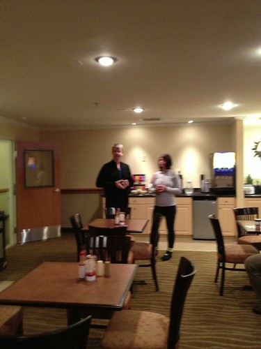
Charlie and Kathy fuzzily getting breakfast before the ride

Then last minute business and out the door to the Safeway.  We rode by the back side of the brewery, pretty cool.  Lots of riders at the Safeway; checked in and greeted all my SIR rider friends who I hadn't seen for several months.  But wait...  where was Peg?  where was Narayan?  My hope of having some company at some points in the ride evaporated.

Riders at the start

Off we went, and it started to rain.  And rain.  And rain.  (keep repeating that refrain until I tell you to stop)

SE into a headwind (keep repeating that as well) for the first 15 miles to Rainier.  It was described as a climb, but it wasn't too much of one.  Riders pulled away, and, as expected, found myself riding solo.  Somewhere along there I passed Susan, fixing a flat.  She said she was ok, so I went on.

Found Vinnie and Josh in the parking lot of the Texaco.  We chatted a bit, they signed my card, and pointed me at the trail.  Right.  I knew that.  Nice trail, and eventually I recognized the tall trees and athletic fields - I had arrived in Tenino.  On STP, this is the stop with the really big cookies.  Not today.  Off the trail, through Tenino, and pressing onward through Bucoda to Centralia.

I stopped at the Pearl St. Market to get more water.  Every time I paused, I would stuff a chunk of fruitcake in my mouth, so I wasn't hungry, but I did need more water.  Allen F and Jason H had also stopped, but I think they left before I did.

Susan O caught up as I was headed into Centralia proper, and I followed her through and out.  The heavy rain had conspired to cause some leakage through the vinyl cover of my map pocket and through my 9x12 ziploc bag.  Time for another one.  Note to self: carry backup cue sheet in another ziploc bag in the front bag...  Not so bad that I could not figure out what it said.

From Centralia we headed SE on Alpha-Centralia Rd.  I remembered this from coming the other way on my first-ever 600k, after recovering from a bonk.  So, perhaps I was thinking it would be challenging.  Now, there WERE a couple of steep ramps, but really, not so much.  Climb up the ramp and roll up and down.  Pretty. (still raining).  I thought I was hallucinating, that I would occasionally see a rider up ahead, but probably not.  I started to notice hail by the roadside.  Lots of hail.  I guess I missed it.  Did see one rider headed back, and another standing under a porch on a utility building of some sort.  Before I got to 508, I realized I was not hallucinating, and eventually caught up with Jason H.

There was an info control at the turn onto Cinebar Rd, but instead we found John P ("I've abandoned all thoughts of riding on the Oregon side for our fleche route") and Rick B.  Cards signed, a little bit of visiting.  Rick: "we are watching your SPOT".  John: "Where do you put it?"  I pointed him back to Little Pink Bear.  The bear finally has a job :-)  My comment to Rick - "I can see places where it is not raining.  We are not riding in any of those places."

Pushed off to find Mayfield Lake and Mossyrock and the loopy bit out of there.  By now, the rain had actually let up.  Maybe even stopped.  Dropped down to the lake, again leapfrogging Jason.  I pulled into a handy park structure for a quick stop, but found him on the bridge across the lake.

Now we started up, climbing a couple hundred feet to Mossyrock.  Some of those feet were very compressed.  I stopped for a minute, and could see Kathy and Charlie walking up ahead, but they pushed off before I got there.

Into Mossyrock and the grocery.  Mindful of my coach's instruction to Eat More Protein, I rummaged around in the sandwich case, finally settling on roast beef/cheese.  Chatted with Kathy and Charlie as they finished up their sandwich. Looks like they ate as much as I did.  Had half a sandwich, but the bread sort of made me gag.  Topped off my bottles and left.

Lake along Longbell Rd (I think)

The next stretch was quite pretty, and not raining.  More climbing winding up Perkins Rd, the highest point in the ride.  I had peeled off the raincoat in hopes of getting my top layers to dry out.  And they did.  My feet never did dry out all day.  Down for awhile, then up again as we passed the lake.  Mostly downhill, with bits of up, but heading into the W part of the headwind.  Yup, still with us.  Lots of farms along here, with llamas and cattle.  Passed Susan fixing another flat.

Crossed under I-5 about mile 107, heading SW (into the wind), and annoyingly back up to our next control in Vader.  Strangely, my body was trying to sleep.  Really, really big yawns.  Couldn't stop them.  Finally paused and had a gel with caffeine.  Got to Vader, and Allen and Jason were there.  I made myself a rando mocha (more caffeine, yes please!), and chatted with the cashier while I drank it.  "You've got one more really bad hill coming up".  I remembered it from the Two County Double Metric Century of many years ago.  It was painful on the speedy bike with only 60 miles in (I didn't know what randonneuring was, back in those days), and I was not looking forward to it. Topped up the liquids again, stuffed a chunk of fruitcake in my mouth and headed off.

Swamp cabbage blooming

Started raining.  Blah.  Sucked down a gel before the hill.  There might have been one or two short bits of walking.  But I got to the top and headed down, after zipping everything up.  Rain....

But!  Finally!  At mile 120, headed NORTH!  YAY!  Kind of beat up by now, pedaling along, and at Boistfort Rd, turned west again into the wind.   I noticed my other blinkie (I had swapped batteries on one before the ride) kept turning off, so I took a brief stop to change the batteries.  The ride to Pe Ell was again, wonderfully agriculturally pretty, but it soon started winding uphill.

Down into Pe Ell.  This was a control, and there was a store, and a tuna sandwich.  I managed to eat half of it, and borrowed Allen's towel to wipe my clear lenses off before installing them.  It was officially getting dark-ish, but not dark yet.

Free-range goats along here.  Also signs for free-range cattle, but I didn't see any of those.

Not to far out of Pe Ell, past the other end of Boistfort Rd, I spotted blinkies up ahead.  Was I catching up with  Jason?  No.  But I did find a Secret Control, with Ian, Corey and Josh.  And a covered area, heater, chair and hot chocolate. And a blanket.  And a couple of welcome hugs.  There was indeed a shortcut, if one wanted to climb back out of Pe Ell and go over Curtis Hill.  Ow.  No.  I have done it, and got my fastest ever descending speed on the other side.  Ow.  So, after half the cup of hot chocolate (Allen had come and gone), I started out again.

More sleepies.  I stopped and dug some caffeinated mints out of my bag and crunched on those.  It seemed to work, and I didn't have any more dozy episodes.

There were still a good number of miles to ride before the left onto Scheuber Rd.  I finally had to remove my glasses, because the oncoming traffic would light up the rain drops on them and totally blind me.  I never did catch up to Allen.  I had looked at the turn on Google Street Map, and it pretty much looked like a turn in the middle of nowhere.  I could only hope that the turn was marked (Washington is pretty good at that).

There was a gas station on the right; I pulled in for more water and directions.  I was just about there.  One patron wanted to know if this was dangerous.  Well, no one had tried to kill me yet.  Left onto Schueber.  Listened to about a million frogs croaking. Eight miles later I was at the Centralia Safeway, the last on course control.  I was really, really cold.  Going into hypothermia cold.  The staff at Safeway was not helpful, and that was the control.  So I got my card signed after waiting around and went over to the Texaco convenience store.  The cashier pointed me at the hot water tap.  Filled my thermal jug and made calories in a bottle with an added teabag.  Drank some hot water.  Finally quit shaking.  Twenty more miles to go.  I decided to wear all my gloves and all my wool hats.  That helped.

North again.  Heavy rain. Pedal pedal pedal pedal...  I didn't even know what time it was, just that I would finish in time.  Not too worried about that.  It was so cold.  Case Rd felt three times longer than advertised.  Look!  A Stop Sign! Oh darn, Maytown Rd.  More to go.  Pedal, pedal, pedal, pedal.  Not even a place to take shelter from the rain.  Several light-years later, I arrived at the end of Case Rd, cut under the freeway, and continued, again, on Case Rd.  A few more turns, all feeling much longer than they should have, and I could finally see the Motel 6 sign up ahead.

Headed toward the blinkies, leaned the bike against something, went inside and started toweling off.  It was 2am.  Signed things, and sat there long enough to quit shaking (again).  Headed off toward the Best Western, except I turned the wrong way at the light and got an extra couple of long blocks tour of Tumwater.

Finally, back where I was supposed to be.  It was a very hard choice, shower or bed?  If I could have slept in the shower, I would have.

Next morning heard Susan and Asta rustling around and heading off to breakfast.  Except their bikes were still in the room.  Not good control efficiency.  Fell back to sleep; woke up some time later.  Bikes still there...  After deciding that I should probably not get breakfast in my pjs, quickly got dressed and walked down.  All the riders staying in the hotel were rehashing the ride.  Susan said that the forecasted 25 mph headwind and thunderstorms were what called it off, and would I mind having company on the drive home?  No, not at all.  After an extended breakfast (seconds on scrambled eggs with ketchup) we finally went back to pack up and load the car.  Susan offered to drive.  Even better.  Pre-drive walk over to Starbucks.

Susan and Asta pack up to drive home

Arrived home, unloaded, got all the soaking wet cycling gear out of the bag and became one with the chair.

My cough let me know exactly how much it appreciated this much fun.  Worked from home three days so as not to scare the co-workers.

Finally getting better now.

Bike computer claims 7900 vertical feet
RideWithGPS claims 7700 vertical feet
In either case, not an excessive number for a 300k.
for the whole day 193.5mi, avg 11.62.  oh, that's slow...

Tuesday, July 17, 2012

Olney Gothic Logger 300k

The Portland Crew designed a new 300k route, and we got to ride it this past Saturday. Among others, Lesli was going to be riding. This was great, I haven't gotten a chance to ride with her since November.

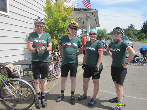
New OrRando Jerseys!

One bike update - put on the Grand Bois Cypres tires. The Hutchinsons were still hanging in there just fine, but with over 4000 miles on them, I was getting a bit uneasy about taking them on long rides.

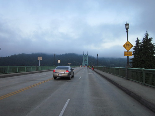
The start was in Cathedral Park, under the St Johns Bridge. I found Ed and David waiting to check us in. Ed was looking at my bike... "Lights, good. Where is your reflective gear?" Wait, what, I am getting a bike inspection? Pointed at the pocket with the reflective gear, and got a brevet card with the Bike Inspection box initialed. My very first bike inspection, ever.
David and Stasia

There had been a message that it might be challenging to get to the first control at Birkenfeld in time, if one was a slow to medium pace rider, and we should just make the next time cut and it would be ok. Being at the slower end, I took that as a personal challenge. There were two climbs on the way, NW Newberry, which is about 2 miles long and spectacularly steep (it feels great halfway up when the the grade drops below 10%), and the Scappoose Vernonia Highway, which isn't steep, but it goes on for about 10 miles. Newberry was getting steeper in my mind; I had climbed it once, several years ago on the go-fast bike, back when we had weekly evening hillclimb rides. I told Michal he'd love Newberry.

Riders on the St Johns Bridge

Lesli, crossing the St Johns Bridge

And off we went. First, up, around, and over the St Johns Bridge (oh FUN!), then out on Hwy 30 through Linnton, and up Newberry. Michal had gone on ahead; Lesli and I worked our way steadily up. She didn't want to know the incline :-) and we got to the top; no pauses. I was very pleased with myself. West on Skyline. After crossing Cornelius Pass, we saw a couple of cyclists ahead. Eventually we passed one, who was fiddling with his bike. It was Michal, and he said he'd catch up. Lesli says he has two speeds, normal and bionic, especially where hills are present. I'd noticed.

Got to the top of Rocky Point, our first interesting descent. I've ridden up it, but never down. 3 miles, 6% constant grade. Technical. Lesli, Michal, and I made it down without incident, and I might have taken it a bit faster than I would before.

Into Scappoose, where we stopped for some coffee at a gas station before tackling the next climb. Norm and Paul came up as we were getting ready to push off. Enjoyed the climb up. Conversations about some "next bicycles" and custom builders, and what would be wanted on those bikes.  Interesting to listen, but I'm actually NOT considering another bike at this point.  Met Shun from the Tri-Cities, chatted with Bill for a bit, kept going up. Nice smooth new pavement. Then the 10 mile descent with a few rollers.  I had fun punching it on some of the downhills, then zipping past the others on the uphill.  To Michal: "this is how I drop people on hills who aren't you".

Lesli and Michal, heading up the Scappoose Vernonia climb

Bill, heading up the Scappoose-Vernonia climb

Heading to Birkenfeld

Then at the bottom, and off to Birkenfeld. Munched on a lot of Cyndi's yummy cookies along the way.  Got there with over an hour to spare. Bought water, topped up bottles, applied sunscreen, took pictures. Kevin offered up some flavored chips, but my stomach just wasn't interested. My second VO water bottle cage broke. I can't recommend the Moderniste cage; two for two. Kevin had some electrical tape, which made for good on the road repair.

Kevin, Michal, and Bill at Birkenfeld

Westward toward Olney. Brief pause at the elk refuge (no elk visible), and eventually started up. There must have been some moped convention going on; periodically we'd be passed by flotillas of buzzing mopeds. Amusing. Started falling behind.

Working our way up the Coast Range to Olney

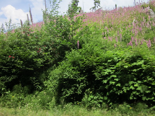
Foxglove growing in a clearcut

Shortly before the summit I got a drink, and had some water bottle reinstalling issues, resulting in a topple over situation. Of course, by that point,they'd summitted, and were gone. I found them 10 or so miles later at the Olney store (91 mi). Saw a few riders headed back when I was about 4 or so miles out.  Happening place. Many riders still there.

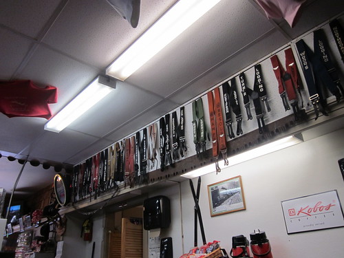
Suspender collection

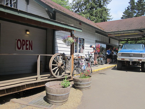
Olney Store and Bar/Restaurant

Ate a yogurt parfait, and sucked down a Cranberry Grapefruit Sobe, my control at a convenience store now drink of choice.  Maybe I'll go back to the Doubleshots, but they might be tweaking my stomach a bit.  The Sobe has the same number of calories, but no caffeine, and a lot more liquid.

Then back.  We did have a tailwind for the ascent (nice).  I commented to Lesli that I had no awesome, my riding style is diesel (keep on going).  Eventually they pulled ahead, but I kept plugging along, and after some time, found them again.  Thanked them for waiting.  They assured me they hadn't stopped, but would have waited at the summit.  Must have slowed then :-)  Thank you!

Heading back to Birkenfeld

The tailwind started cutting out on the run back to Birkenfeld.  Another short stop at the Elk Refuge, then on to the Birkenfeld store.  The proprietor was sitting out on the porch, and told us we were amazing.  Jeff came up and wanted to know where we'd be stopping in Vernonia.  That was an advanced question; we hadn't given it any thought.  My stomach was a bit crabby (maybe 320 calories of yogurt parfait and 250 calories of Sobe in one go was a bit much?), so I crunched on some antacids.  Topped up water, and left again.  It was warm, but not the stifling heat of last weekend's 200k.  I was going through a stretch of (as MG puts it) liking more the idea of randonneuring, than the actual required riding :-)

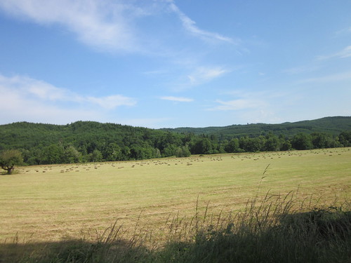
Haying, on 202 west of Birkenfeld

As we rode along the Nehalem River, my stomach calmed down (yay!), and I started feeling better.  It is weird, riding in the summer, all of a sudden it is 6:30 in the evening.  How did that happen?  Time goes away.  We stopped at the gas station - I got a Sobe, some hard boiled eggs to split with Michal, and a bagel.  Well, the Sobe and egg were good; the bagel wasn't working.  Did eat some fruitcake.  There was an offer of chips with sour cream flavoring.  Nope.  I have better luck with plain potato or corn chips.

We headed off to the Banks Vernonia trail.  On the way, some person was upset that we were riding on the ROAD - "hey, there's a trail over there".  Yeah, there is, all the way from Vernonia Lake, but then we would not have been in Vernonia enriching the local economy.

The Banks Vernonia trail is one of my very favorite places to ride, and it was very restoring on this day.  Sunlight slanting though the trees, and, as it was in the evening, very few other trail users.

And, 20 miles later, we found ourselves at the Banks Trailhead (164 mi), with Ed staffing a Secret Control with a very great variety of junk food.  And bananas.  Another round of topping up bottles.  Jeff A joined in with us here.

Inspecting the snack offerings

Ever since Vernonia, I had been totally on autopilot.  Banks, through North Plains, east on West Union.  Alerted the others that West Union east of Cornelius Pass is not entirely bicycle-welcoming - busy area, and the road still thinks it is a 2 lane, no shoulders farm road in many spots.  We got onto NW Springville (the very last climb) from NW 185th.  I have not done it that way; I take the park and rec paths through the greenway a bit south of there, and manage to miss all the preliminary rollers :-) and traffic.  This is one of the hills I take myself onto for climbing work.

sunset on Mountaindale Rd

Michal: "where's the climb?"  Well, not for a bit, and it wasn't a long climb.  He just wanted it to be done with.  Turned the corner and started to go noticeably up.  Red lights eventually vanished up ahead, but I finally saw the streetlights that marked the intersection with Skyline and found everyone at the top, but for Kevin - he went on.  Pulled on my jacket and clipped on the Ixon for the descent.  NW Germantown is not a long descent - maybe 2 miles, but it is steepish, and technically curvy toward the bottom.  Lots of fun in the daylight, less so at night.

I was happy to have the secondary light - the white edge paint was gone in many spots.  We stayed together on the descent, and picked up some trailing automobiles, who were crabby at the bottom.  We were still taking the curves faster than they were.  Oh well.

card back

Across the bridge, to find a bunch of blinkie lights at the first turn.  David had moved a block up from the park, because "it was getting really dark down there".  We confused some finishing Seattle to Portland riders. Down to the cars, said goodbyes to Michal and Lesli, and then had a really, really hard time driving home.  A short nap in the car prior would NOT have been a bad idea.

Finished at 11:16pm, so 17:16 total elapsed time.  13.6 moving average, 10265 vertical feet.

Other than the broken water bottle cage, no flats or mechanicals.  Those Grand Bois Cypres tires roll very nicely.

I think I have now arrived at the mental place where riding a 300 doesn't evoke much, if any, stress.

Sweetpea rolled over 8000 miles on this one.  My YTD miles are now at 3700.

All the pictures here

ridewithgps route here