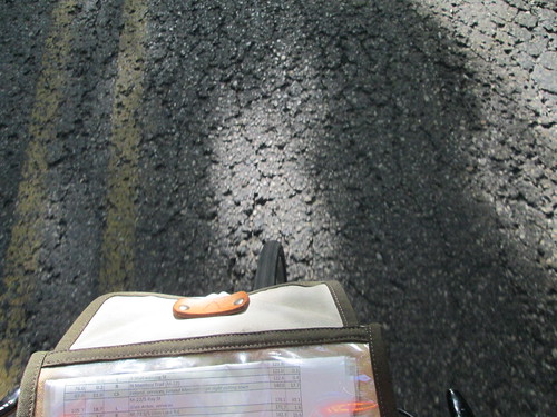
But I didn't have a chance to ride it until last week, when we were up there for vacation. Printed a card and cue sheet, and figured I'd negotiate with the route owner when we got there.
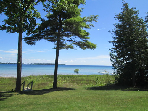
I always take Bleriot to Michigan. Can't quite see dumping the Sweetpea on the beach.
Last Thursday was the day - good weather, and Fitz and his brother had serious golf plans.
Wednesday, I went for my first run in 8 months.
Got up WAY too early - 5:45am. And, since in Michigan, we really don't deviate much from West Coast time (sleep in, stay up past midnight socializing), it stung a bit. The route has many places for food, so I had packed some preferred non-perishables from home, and bought some Gatorade and Fig Newtons and called it good.
Rode into town (3 miles, the "wrong" way) for the starting receipt at the grocery, then headed back north. Stopped briefly at the cottage to get something I forgot.
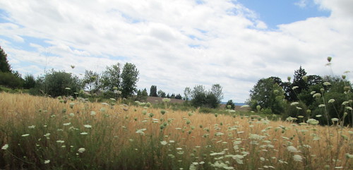
Frankfort to Empire
Other than the climb on Sutter Rd, which has the worst pavement ever, the most challenging bit on this stretch is the gentle climb over the hill to Empire. I found a golf ball on the way up; stopped to pick it up. Fitz comes by here every year to hunt golf balls; it was his father's favorite hunting spot. The cottage never lacks for quality golf balls.
Descending Sutter (totally the worst pavement ever), my metal thermal bottle hit the pavement. I stopped to retrieve it, only to discover the water bottle cage holding it had broken off the bike. Worst pavement ever. Stuffed the bottle in my front bag, and knew I'd be totally OCD about no second bottle cage the whole ride.
Sutter is a "Natural Beauty Road"* which explains the pavement condition.
A driver tried to right hook me at Platte Rd. She says SHE'S a cyclist and always stops there. I just wished she'd been paying better attention.
So, over the hill, and through Empire.
Empire to Glen Arbor
Too bad this is only 8 miles. Highest quality shoulders the whole stretch, plus the ride on the causeway between Glen Lakes. Pretty flat. My pace had been nicely quick, for me, and I was supposed to be having an outgoing headwind.
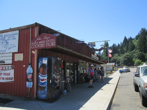
Just out the far side of Glen Arbor, I spotted a bicycle rental/service/sale shop. I bet they could sell me a bottle cage. Not only that, they kindly loaned me a 4mm Allen wrench (got one on the multitool, but it is a little bulky to install water bottle cages), admired the bike and chatted about my planned ride. Nice folks.
Continued on.
Glen Arbor to Leland
18 miles, slightly less nice shoulder. Maybe a little more rolling.
A few miles north of Glen Arbor, I came upon some road construction. Waited in line with the other cars, applied sunscreen, removed superfluous clothing. We got the go, so I went. Or tried. The flagger told me I couldn't ride through. I would have to walk, because cars would pass me and go too far over. Or something like that. He also called me "you people" and said he'd call the cops if I rode. I said I'd go after, and he said I'd be holding up traffic. Dammit. I am traffic! He made me walk facing traffic. Well, it was a bit of a ways to the end, and the oncoming traffic was released and fortunately there was a driveway to jump onto. I'd run out of flat area to the left. By then I was far enough along that I hopped on my bike and rode through. The far end flagger got on his phone as I passed by.
A bit later, I saw a car from Sutton's Bay Bikes, and flagged the driver down. We chatted, because I wanted to know if there was some weird thing in Michigan traffic statues regarding bikes and construction zones. No, there wasn't. He knew which construction firm it was, too, and suggested I call the Leelanau Country Sheriff.
When I got into Leland (passing by Good Harbor Farm and Good Harbor Wine), about 40 miles, I pulled into a deli, ordered a sandwich and pickle, and sat down and called the sheriff. Had a lovely chat with the Lieutenant, and he said that if they wanted to call the cops, he'd be very happy to talk to them.
Ate half the sandwich, drank something, topped off the bottles, and headed out.
Leland to Northport
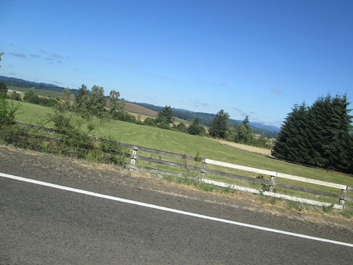
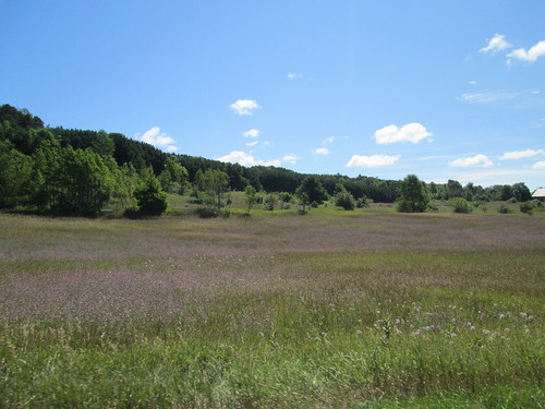
The terrain definitely gets a little more rolling here, and more meadows and less mixed forest. There are some interesting (in the architectural sense) homes through here.
In Northport, M-22 takes a turn for the south, and I continue through town on M-201. The cue sheet has several turns, but they are all following M-201, until the right turn on 5th. Or 6th. Either one.
In any case, a turn onto North Shore Rd. Starts out paved, but eventually turns to a nice dirt/gravel hardpack for the last .7 mi, and runs right alongside the bay. It is also a Michigan "Natural Beauty Road". *
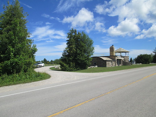
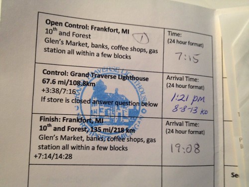
Northport to the Grand Traverse Lighthouse
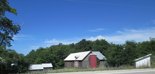
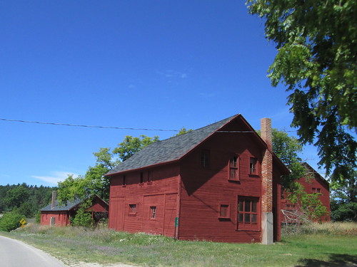
Popping out onto Woolsey Lake Rd, the route then heads north to Leelanau State Park and the Grand Traverse Lighthouse. It passes a nifty little airport, a few farm stands, a barn-red farm complex, some boring bits, and finally, the park.
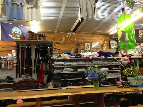
You know how the Rules say you should get a stamp at a control, or, failing that, because NO ONE has rubber stamps anymore in the USA, get a receipt? Well, the lighthouse gift shop has a WONDERFUL rubber stamp! Finally!
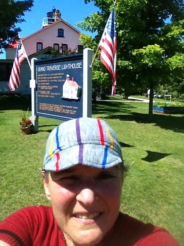
Topped off bottles, putting my Carbo-Pro/EFS mix into one of them. Didn't stick around long; that Coke float in Northport was calling.

Back to Northport
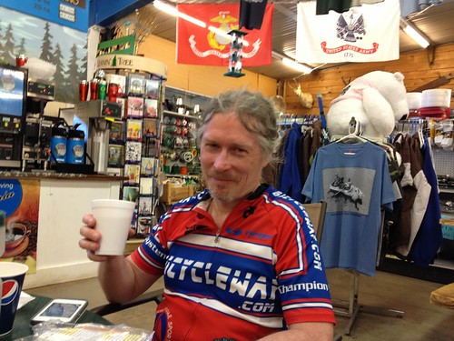
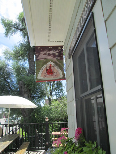
Stopped for a Coke float at Kamp Grounds, a cute ice cream/coffee shop. (the entire town of Northport is cute, as are Leland, Glen Arbor, and Frankfort). While waiting in line, the man in front asked if I had ridden to the lighthouse. Why yes I had, and was headed to Frankfort. And how far was that? About 60 miles. "Oh." (pause) "That's.... nice." For good measure, I told him I started there as well.
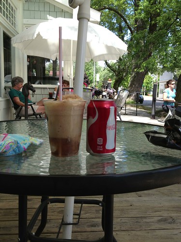
I did sit outside in the shade and thoroughly enjoyed that drink.
Back to Leland
Ate the other half of the sandwich.
Back to Glen Arbor
Ah, yes, I'd have to pass through that construction zone again. Heading south, the flagger saw me coming and turned his back (flaggers are NOT EVER supposed to do that). Southbound traffic had the go, so I continued on, and was safely passed by 3 or 4 cars. But surprise, surprise, the flagger at the other end let the northbound traffic go somewhat before I had cleared the construction area, and I had a line of cars headed right at me. We all slowed down and were careful, and it worked out. No honks at all. The flagger at the other end, same one from the morning, ALSO turned his back on me. Ooooh. Someone was going to hear about this.
That done with, I rode the last 4 miles or so to Glen Arbor, and stopped for a Red Bull and more stuff to drink. It was hot, but not oppressively so. 30 more miles.
Back to Empire
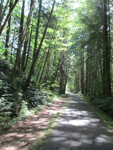
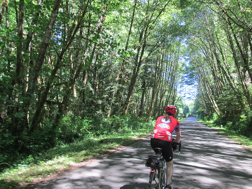
Shortly out of Glen Arbor, I pulled over to turn my rear light back on - many road stretches totally shaded by trees (tunnels!), and I wanted the additional visiblity. Hmm. Dead. No batteries in the saddlebag (I still haven't found them). Oh well, Empire was only 8 miles ahead.
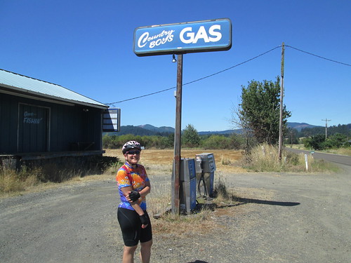
Stopped in the convenience store for some batteries; chatted up the clerk while I swapped them out. We commiserated about the climb out of town.
Back to Frankfort
But you know, the climb wasn't all that bad! Not like last year. Less heat is a good thing. By now, my feet were not entirely happy (wearing sandals, not the Sidis), my legs were crabby (running the day before a 200k. Not smart thinking) and my undercarriage was annoyed as well (not the new saddle).
Pedal pedal pedal. Pass the Platte River Outfitters. Pedal. Pass the Manitou (they serve a really good whitefish). Finally turn onto Sutter Rd, and the spectacularly bad pavement. Over the top. Down (better road quality).
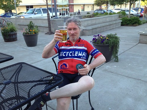
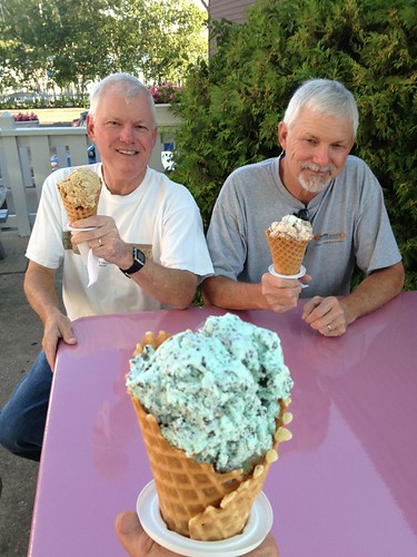
Right on M-22 again. Pass the cottage, ringing my bike bell. Past the Assembly and Crystal View, over the 4 rollers into town, and finish at the grocery. I had originally wanted for Fitz and Mark to meet me at the new brewpub, and finish there, but they weren't interested in that this evening. Got a Coke, and sat outside in the shade. Fitz called; where was I? He and Mark were on their way into town, and came by to collect me. We went by the Kool Spot for ice cream before going back to the cottage and cooking dinner.
(Fitz had figured I'd be back soon; checking my SPOT track confirmed that I was indeed quite close. And 5 minutes later I was dinging the bike bell as I rode by.)
136 mi for the ride, 14.02 avg pace (on Bleriot. Wow) 4900 vertical feet. And you thought it was flat.
140 mi for the day.
Aftermath
I called the sheriff again about the flaggers. They suggested I file a formal complaint with the Michigan DOT. They would also stop by and chat with the road construction crew. I did indeed file a complaint and copied the construction company. Have not heard back from the construction company, but the Michigan DOT did respond, and will review bicycles and construction zones with the construction company.
Remember that run the day before? My left hip/leg proceeded to get really, really unhappy. Something about running on a sandy, slanted beach perhaps. Even if it was 1min run/2min walk. Stairs were a problem. Moving from sitting to standing and back was a problem. Flying on airplanes was a problem. Sleeping was a problem. All better now, but OW while it lasted.
------------------------------------------------
*Road Surfacing – The existing road surface at the time of designation should normally be
continued. Necessary changes in surface to improve safety, drainage, reduce maintenance
problems, etc., may be cause for undesignating roads if such changes disturb the natural
beauty characteristics for which the road was designated.
I take this to mean that Sutter Rd will never be repaved.