Showing posts with label washington. Show all posts

Monday, October 27, 2014

Alexandria to Ale House (Olney, MD) and back

First, it was a wonderful wedding and we had a great time with family.  The bike case and duffel went off with my aunt and uncle at the morning after breakfast (my sister: "we have this huge tent, we should get another event out of it!).

Fitz and I then drove down to Alexandria, and had fun walking around town, and having lunch at Gadsby's, a tavern frequented by George Washington, back in the day.
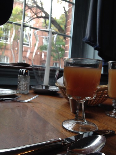
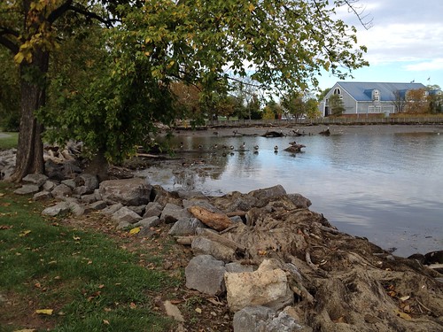
Lunch at Gadsby's Tavern in Alexandria

Ducks on the Potomac, Alexandria

He planned to maybe play a bit of golf before catching the plane home.  I sent him off with the last little bit of clothing I wasn't taking with me.  And there I was, all by myself.  Committed.

I was meeting Leslie T. to ride that perm pop which traversed three states (VA, DC, MD).  Yeah, about that.  Route owner Crista was planning to meet us at the turnaround control for lunch.  She discovered that the restaurant was closed on Mondays, and did some rerouting to a different place.  Fortunately this all happened before we left, so I had an updated cue sheet.

In the meantime, Leslie had been in a car accident and was feeling a bit beat up, and maybe wouldn't be able to ride.  But she signed up, and said she'd give it a go.

But, there I was just before 9am, at the Old Town Alexandria Starbucks' (where, if it had been there then, it would probably have been George Washington's coffee hangout).
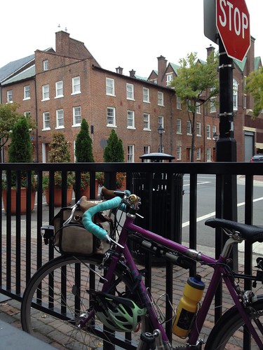
Waiting to start, Starbucks, Old Town Alexandria

And, a few minutes later, someone said "hi!", and there was a purple Sweetpea leaning against the rack next to mine.  And there was Leslie.  We chatted a bit, and I dumped my mocha into my thermal bottle.  It was time to go.
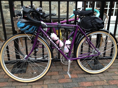
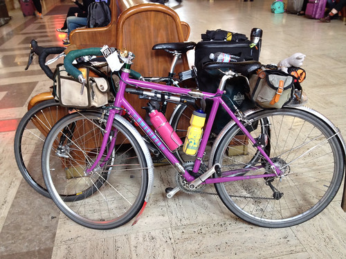
Two Sweetpeas

I followed Leslie northward on the Mount Vernon Trail, passing right by Reagan National Airport, then over a bridge into DC, and north along the Potomac River.  Eventually we turned under a highway, and rode under it until we got onto the Capital Crescent Trail.
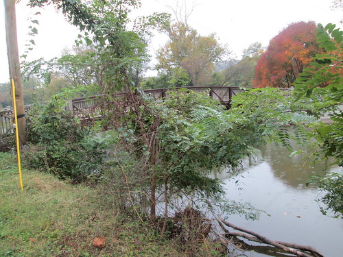
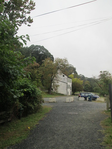
Canal, Capital Crescent Trail

Lock Keeper's House, Capital Crescent Trail

Leslie T on a bridge

We chatted along the way, and Leslie stopped to point out one of the original Washington DC boundary stones.
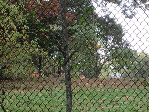
original DC boundary stone there

The trail goes on for quite some distance; we were on it for about 7 miles, before popping out in Bethesda, and onto the Georgetown Branch Trail.  This trail has a crushed rock surface, still easily rideable, and goes through a tunnel at the beginning, which was fun.
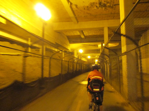
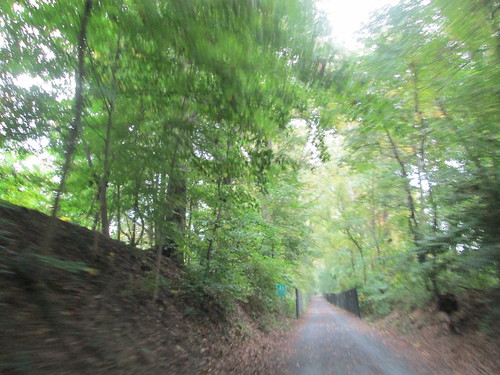
A tunnel in Bethesda

Georgetown Branch Trail

It had been raining off and on, but it was a warm rain, so I didn't bother with pulling on the jacket. Or any rain gear, for that matter. They have different ideas of what is cold, there :-)

We then got off the trail and onto the surface streets.  The rain got rather more insistent, and we had a brief period of misplacement; missed a turn in the rain.

After that, Leslie elected to head to the closest Metro stop; she still wasn't feeling up to riding the whole thing.  11 more miles to go, all on surface streets.  Crista writes a very detailed cue sheet; I had only one moment of deep confusion, when the route entered a country club with no visible way out the other side.

I found Crista and her friend Barbara at the turnaround control (Sisters Sandwiches and Such), ordered a tuna sandwich, and sat down to visit and eat half the sandwich (it was huge).  Wish I'd had more time to visit, but I was on a mission to finish this ride in time!
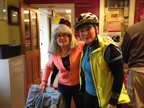
Crista Permanista and me

Fortunately, this was pretty much an out and back, and I flew low all the way back to DC.  The Capital Crescent Trail was particularly nice for this.  Then I entered DC...  again a moment of confusion looking for the 14th St Bridge (you'd think there would be SIGNS!); a passing cyclist pointed me in the right direction.

Over the bridge, 6 more miles on the Mt Vernon Trail to the finish.  Getting close...  I arrived at the Starbucks with 10 minutes to spare, but the cashier was having an exceptionally long conversation with the two guys in front of me, and then went to grind some coffee for them and...  Thought I'd DIE there.

But all ended well.  Got a coffee drink and sat down to enjoy it before riding over to Leslie's home in Arlington, where I'd spend the night.


Tuesday, May 6, 2014

Nonsensical, Yes Indeed

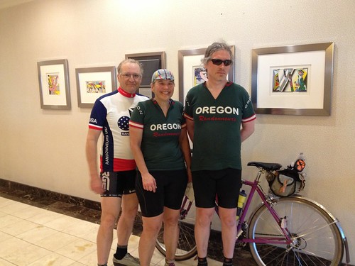
I had posted in the Oregon Randonneur and Seattle Randonneur Facebook pages, looking for riders interested in participating in Fleche Northwest.  Narayan promptly signed on, followed quickly by Geoff, Keith, and Paul.  As they were all from Seattle, I'd be wearing the blue jersey for this one.


Route profile - not flat by any definition
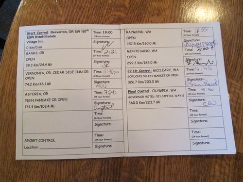
I planned to re-use last year's route, with one change - we'd go around in Astoria, rather than over.  That was painful.  The route got .1 km longer, 360.1 km total, but I still figured we'd be a shoo-in for the Lowball Award.  The team name, by a vote of the 5 team members, was Nonsense Prevails.

The weather looked to be not bad, and there would even be a tailwind.  Oh my.  Shipped a box of clothes off to the hotel in Olympia.  Bicycle cleaned.  Previous saddle pulled out of the closet and reinstalled.

Day of, did the last food preparations (lox and bagel is a tasty ride snack), and dozed for about an hour in the afternoon.  I can't say I slept, but I didn't do anything else.

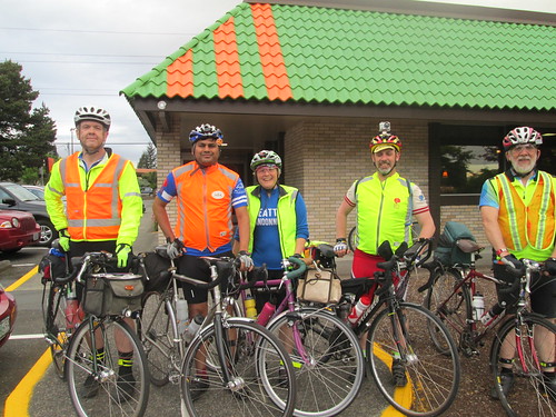
The guys all drove to Olympia and caught the train there.  Then they hopped the MAX train, and I met them at the transit center, where we coasted back down to the house.  They all had a pre-dinner beer, then dinner all around.  Then it was time to ride over to the start (7 minutes tops), and have our pre-ride pie and coffee.  Fitz joined us there and took our only team picture.  Keith thanked me for organizing and all.  Me: "you say that NOW."

Pie at the start

Team picture at the start

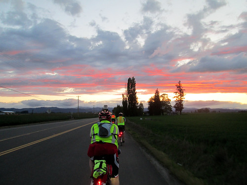
Given that the first 32 turns of our 78 turn cue sheet were getting us 12.1 miles to the edge of the Urban Growth Boundary, I took the lead.  We had an amazing sunset as we headed towards Banks, our first control.

Spectacular sunset, Zion Church Road

Banks Thriftway control - Paul, Geoff, Lynne.  Photo by Keith Moore
It was dark as we emerged from the control and started towards Vernonia on the Banks Vernonia Trail.  I love my Luxos U headlight - it lit up the trail from edge to edge and illuminated well forward.  Nice views of the stars and crescent moon at the road crossings.

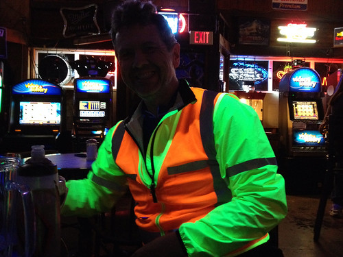
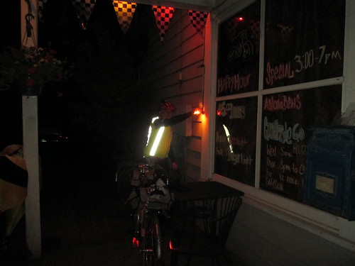
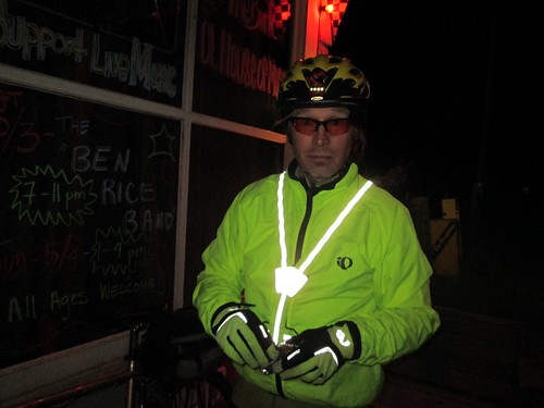
Keith knows how to light up a tavern

Popped out into Vernonia, and had a brief discussion as to whether we should use the Cedar Side Inn or the bar across the street for a control.  I suggested we go into the Cedar Side Inn, in case anyone wanted food.  It was QUITE lively and loud in there.  Blacklights, too, so we lit up the place in our neon/reflective vests.  There was a birthday party going on, and Birthday Girl was completely entranced with our adventure.  She ended up buying a round of coffee for us, and would have gotten us drinks, if we'd wanted them.

It was starting to get cold, so we all pulled on more layers.  Not raining, so I didn't go so far as to add booties and RainLegs.

A couple of locals warned us about rude and/or drunk drivers on the road to Astoria.  We thanked them and headed out.  (For the record, until we got close to Astoria, we saw only three cars)

Given my spectacular bonk on the 300k a couple weeks ago, Narayan made it a point to make sure I was eating.  My timer watch had given it up on the 300k, so I bought a countdown timer app for the phone.  I had food.  Also lots of Perpetuem.  So I was, indeed, eating.

My plan, at least, was to take a short rest stop at the Jewell Elk Refuge.  There is water, and the bathrooms are heated.  We could conk out in one of them.  Randos know the classiest places to stop.  We arrived with plenty of time - no need to be to Astoria before 6am - so filled up bottles, took care of other business, then sat down and dozed for about 20 minutes.

Napping.  photo by Keith Moore
The coffee from Vernonia was making my stomach quite unhappy.  I kept sipping liquids and eating quiet food, but it wasn't helping much.

Then, a couple miles out from the stop, at mile 82, the rain started.  Darn.  Pause while some of us added rain gear.  Spun our way up to the Coast Range summit at mile 86.  The rain got more insistent, and then even more so as we descended 11 miles. Brrr.  The headlight was just wonderful, though.

Somewhere along there (Olney?) we pulled over and ended up doing a glove handout - one rider who shall remain nameless had only shortfinger gloves, so I loaned him my extra wool gloves.  Keith shared some gloves with another rider.  By this point I was wearing shortfinger gloves, Smartwool liner gloves, and ragg gloves with grippy palms over those.  The outer two layers of gloves were worn intermittently for the balance of the ride.

Then there was a not really flat 11 mile stretch to Astoria, where we could see the Astoria airport and Warrenton as we rode by.  The sky gradually lightened.  What with the clouds and rain, I am sure the sun was there somewhere, but not yet seen.  There was one really evil metal grid bridge.  I was riding with Paul at this point, and we worked our way around the peninsula Astoria sits on, passing the bridge, and ending up at the Pig and Pancake.  We found the other three inside, wet helmets and gloves and jackets draped everywhere.

Food and beverages were ordered; some attempted a nap.

Narayan, Paul, and Geoff.  Photo by Keith Moore
This year I managed to eat all my hashbrowns, two eggs and almost a half a piece of toast.  Antacids were produced to settle my stomach.  Keith consumed a massive plate of biscuits and gravy.  I am in awe.

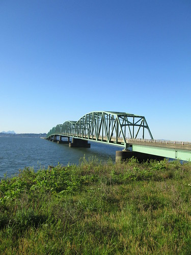
Breakfast over, we then crossed over the Astoria Megler Bridge (4 miles long!) into Washington.  The rain had let up some, but not stopped entirely.  We wandered upriver a bit, and then rode up and over a ridge, heading inland.

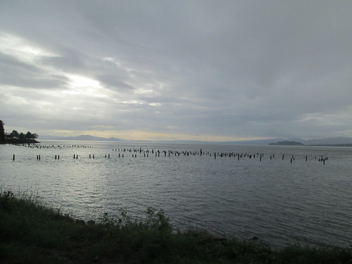
Early morning Columbia River

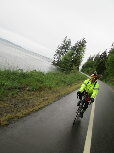
Paul

Brief pause in Naselle for someone to buy food, but nothing was open yet.  We were behind time, but this was expected; I knew we'd make it up.  And now, there was nothing but riding between here and Raymond.  We did have our tailwind.  We also had the seemingly endless little climbs.  And rain.  And more rain.  Heavy rain. I think all the rain in the universe was concentrated in the area around South Bend/Raymond as we were passing through.  Munched on some more antacids; they were settling my stomach.

So that we wouldn't lose time there, I made the call to pull into a c-store in South Bend, and then we'd ride through Raymond, and the looming 4 hills.  The first is a 400 foot climb, with a not particularly good shoulder, followed by three more 150-200 feet climbs.  The road got much better.  The other riders pulled ahead, and I didn't see anyone until the last climb, where I found Narayan.   We all regrouped briefly, planning to stop at the Chevron in Montesano.  I fell off the back again, and rode the 8 miles to Montesano solo.

Found everyone in the store.  My first order of business was to swap the batteries in the SPOT, because it was telling me the batteries were low.  Then I bought some peanut butter crackers; I was pretty tired of sweet stuff.  We were almost an hour ahead of where I had been last year; looking good!

Then we headed off to McCleary, our 22 hour control.  It looked like we'd get to take an actual break there.  But wait!  What was this headwind?  Ack.  So, slogging eastward, again riding solo after awhile.  Bad, negative thoughts going through my head, along the lines of "I will never do this again, ever".  I am sure this is partly because every single brevet I have ridden this year, and a fair number of permanents have been in very suboptimal weather.

The shoulder improves greatly once in Elma, but after awhile, one gets the feeling that McCleary is a myth, never to be found.  But eventually it was, and there were bicycles parked outside the Subway, and many "wet floor" signs on the floor :-)

There was plenty of time to get a bowl of soup, a flatizza, and a Coke.  We spread out on the booths, and left massive puddles wherever we stood or sat.  I only wish I had not been so thoroughly saturated, because it really wasn't very warm in there.  Well, it may have been warm enough if I had been dry.

Just before 5pm, we started reassembling for the final push.  We had to ride together for the last two hours, so Narayan suggested I lead.  Into the pouring rain, out of town, and over the hill to get onto Hwy 8.  Lots of fast traffic, but also wonderfully wide shoulders; no worries.  So there we were, and Keith rides up to tell me the other three are off the back. ???  Slowed down for the others to catch up.

Gentle uphill for about 10 miles, but it really didn't seem that far.  Then downhill, off Hwy 8, and downhill some more, at which point there was only the climb just past the Blue Heron Bakery, and a couple of miles navigating through Olympia.

By now I was not considering finding a spot to wait until just before 7pm to finish right at 24 hours (tradition).  Too cold and wet.  The suggested route in to the finish location was a bit weird.  I had scoped it out on Google Street View, but still made the gps-equipped team members lead us in.  And there was still confusion at the bridge.  But finish we did, at 6:48pm.

Dripped our way into the hotel, to be welcomed by riders who had finished earlier and taken hot showers and were wearing dry clothing :-)

Geoff and Paul changed and took themselves right back to Seattle, but Narayan, Keith, and I went out for some tasty Thai food.  More random visiting back at the hotel, back to the room to chat with Susan and Asta, and then oblivion.

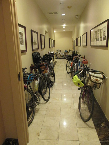
Bikes in the hall in Olympia

The next morning Susan got me some coffee (thank you!) while I packed up and organized.  Looked like I'd be wearing yesterday's riding clothes for the trip to the train station - didn't want to be sitting on the train in wet clothes.  Ewww.

But anyway, first there was first breakfast (hotel's continental breakfast) with many of the riders, and then we all adjourned to second breakfast (the after-ride banquet).  Much fun, hearing about the other rides.  Except possibly the team that didn't get rained on until the last 10 miles, and had warm sunny skies.

As planned, we took the Lowball Award.  The route was even .1km longer than last year. :-)

Then it was time to change into the still damp jersey and shorts, and head off to the train station.  Susan had concocted a route, but Andy S suggested we go a different way, involving some of the local bike trails.  I know we ended up on the Chehalis-Western trail, but am not entirely sure how we got there.  And coming off the trail, the development we rode through looked very familiar.  Once we popped out on the Yelm Highway, I recognized the RAPsody route.  Just a bit of riding there, and we were at the train station.

James was there as well :-)  The train pulled in, we handed up our bikes, and went to find some seats.  Shortly after departing, I changed my clothes, which was much better for everyone around me.  The train arrived about 20 minutes early; Fitz was there very soon thereafter to collect us.

Arriving back in Portland

What went right?  Surprisingly, a lot of things.  Alert readers will note that I said nothing about falling asleep on the bike, bonking, having saddle issues or shoe issues.

What I wore - started out with a LS wool jersey, Louis Garneau Neo Power shorts, wool sports bra (very important), wool quarter socks, Assos gloves, stripey homemade cycling cap, and Gore Visibility Vest.  In Vernonia I swapped on a wool beanie, and added a short sleeve wool jersey and wool armwarmers underneath.  Also my Showers Pass jacket, venerable PI kneewarmers, some toe covers.  When the rain set in, on went the helmet cover, wool longfinger gloves, RainLegs and Endura rain booties.  Before the end (LONG before the end), I was completely saturated, but not cold, as long as I was moving.  Stops weren't so very relaxing, because I'd start to shiver.

Randonesia is setting in, even.

All the pictures (not many, too wet to pull the camera out very much) here

Wednesday, March 26, 2014

Aaaand the Official Oregon Randonneurs Season Opens!

Rickey's Populaire, Cornelius Pass Roadhouse, 9am start.  Be there!

The other person in the house had just had shoulder surgery, and kind of needed someone hanging around (he's doing much better, but still not sleeping in the bed).  I had babysat adorable grandson for a couple of weekdays, and daughter and partner said they owed me.  So I called in the marker.  I didn't figure Fitz would mind their company, Asher is a delightful baby to hang out with, and there was a Timbers soccer game on the tube.

Given the possible time constraints, I drove to the start.  The start is a half mile BEFORE my last job location, but still, it would be 50 minutes vs 15 minutes.

The weather was perfect.  Chatted up friends in the parking lot, and was relieved to see there were other women other there.  Not that I saw any of them on the ride.  Met some new riders, coincidentally all named some variation of "Michael".  Also experienced riders named "Michael".

Chatted with Chris W.  He wanted to know how I ended up on the RUSA Board.  Well, there was an election...  He was a member at the time.  Hmm.

Eventually it was 9am, and the seething mass of riders headed out.  I watched them all pass me.  Fine.  Actually I don't think they all did pass me, but I didn't see anyone behind me on Evergreen, and that's a long stretch.  Brief pause in North Plains, peeled off a layer while I was at it.  Sunny.  Warming up!

I was on my own for the first 11 or so miles, until the intersection with Harrington Road east of Roy, where I spied Kevin L lurking at the stop sign.  He took it out fast, but that was done, and wanted to ride with me. :-)  I am recruiting on him for my Flèche team, dangling my minimum distance, minimum climbing route as bait.  (Anyone else want to play?)

We rode on through Banks and out to the end of Cedar Canyon, watching the Portland Velo ride groups head east.  I stopped at the end, because that is where the info control is.  Not this year.  So, continuing on up Hwy 6 and down to Gales Creek Road, we found the first info control.  Whole bunch of cyclists in the dirt triangle in the middle of the intersection filling out cards and chatting.  We filled out our cards and left.

And joy of joys, there was a tailwind!  We zipped SE on Gales Creek, and I started eating a big candy bar I had picked up at a control some number of rides ago.  A goal for this ride was to consume all that front bag food I had been toting around.  Reese's Fastbreak Bar, 460 calories in 20 minutes.  Kevin worried that we had missed the turn onto Stringtown, but it was still a few miles ahead of us.

We were both happy to turn off onto the quietness and non-existent traffic on Stringtown Rd, and even happier to turn onto Carpenter Creek.

Stringtown Rd, Kevin up ahead

Kevin L

Paused at the info control to peel off the base layer - it was continuing to warm up.  Three riders came up.  One said he was a reader of my blog.  I thanked him.  And I thank all of you for reading!

Worked our way up Plumlee, the only real climb of the ride.  It didn't hurt.  Maybe all that suffering I have been going through is helping.

Summitting Plumlee.  Me and one of the many Michaels
photo by Kevin Lais

Plumlee Summit, looking S/SW

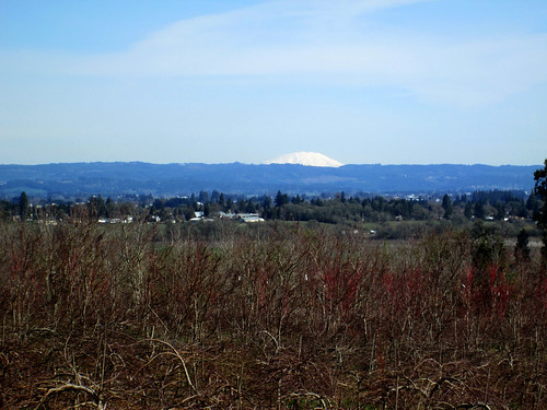
Once over the summit, we could see Mt St Helens and Mt Hood.

Mt St Helens from Plumlee

Careful descent - that last hard left has put at least one person in the ditch with a broken neck (not a rando, and he's fully recovered).

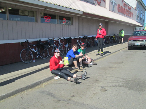
Then off to the the Gaston Pretty Good Grocery, by way of old Hwy 47, the Lake Stop store (not stopping), the lovely new bridge/pavement (same old horrible railroad crossing), and quiet back roads parallelling Hwy 47.  Many bikes lined up, and riders sitting in the sunshine enjoying some food and drink.

Gaston. Randos in the sunshine.  At least one was named Michael.

Line of bikes in Gaston.  Jeff A eating his signature pepperoni stick.

Kevin and I kept it relatively brief - things to drink, a banana, a pit stop, and we were out of there.  I guilted the heavy traffic on Hwy 47 into stopping so we could cross.

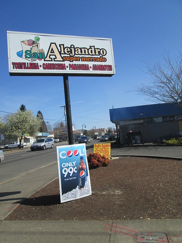
Pause on the other side to zip up my vest - the stop cooled me down.  Then the almost semi-automatic return to the Roadhouse.  Passing through Cornelius, we were almost lured over to a Latin grocery, which has some overwhelmingly yummy beef somethings grilling on their front stoop.

Passing through Cornelius.  That bbq on the front stoop was emitting enticing odors.

Cornelius Schefflin north out of Cornelius has been wonderfully repaved.

Eventually we turned onto SW Evergreen, and I was wanting to be done.  4+ flattish miles, and I turned it up.  Overtook a couple of riders, even.  Rode right up to the Roadhouse, left my bike outside by the picnic tables filled with riders, went inside and did the paperwork.

5:05 elapsed time.  Not bad at all.  Clearly my suffering of the past 3 or so outings did some good.

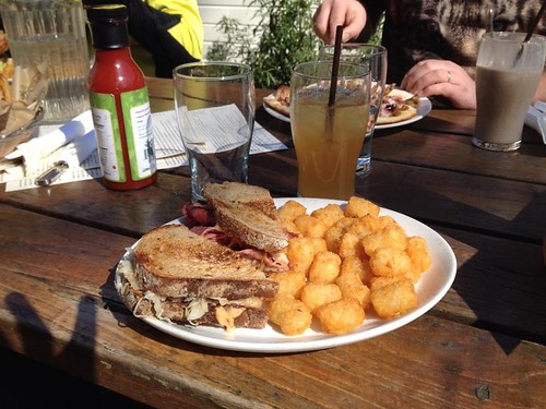
Enjoyed a lovely sunny after-ride lunch with the other riders.  I was just going to split a plate of tots with Kevin, but somehow, the allure of a Reuben sandwich interfered.

Post-ride Reuben and drink

Ellen M, spouse of Tom D, was one of the Portland Velo riders seen earlier, thought my bike was awfully heavy.  Tom empathized with me, and told me the bivy sack story.  And that he carries just as much stuff.  Now, I could have gotten out the Lemond, and ridden carrying practically nothing, but I figure riding on the usual bike, with the usual stuff, is better in the long run.

Monday, March 10, 2014

Clearly Still a Work in Progress

Still don't have my March 200k, although not for lack of trying.  I had been wanting to ride my Beaverton-Bridge of the Gods perm again, to check out the new trail (no more riding on the I-84 shoulder!).  The ice and really bad weather postponed it from last weekend.  Michal came up to ride it with me yesterday (Sunday).

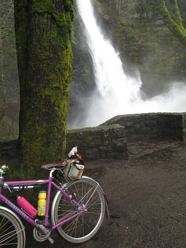
Horsetail Falls with Sweetpea

The weather was supposed to be awfully wet (100% chance of precip).  Well, only 200k, we'd survive.  To add on to the challenge, it was the start of Daylight Savings Time.  We'd have more daylight, but we'd also be short an hour of sleep.

Down to Jim and Patty's for our start verification.  Oopers, they don't open until 7am on Sundays.  So, at 7:08, we were off.

Back up the hill by the house, where Michal decided he was overdressed, so there was a pause for delayering.  It was raining, but not very hard.  Easiest climb of the ride, over Sylvan into Portland, and down through Washington Park.  Had to retrieve Michal from a couple of wrong turns.  Why wasn't his GPS beeping at him?

Into town, over the Steel Bridge, then north and east through NE PDX, eventually popping out by the I-205 trail at Sandy Blvd.  You will see the left turn to the bridge path by the large amount of trail construction. Over the bridge (loud).  The rain was by now a foggy drizzle.

We hadn't been making very good time - got to the gas station in Camas by three minutes.  I noticed that my SPOT had given it up, and installed new batteries.  Yes, I carry a few useful spare batteries.  Michal had total navigation electronics failure - his GPS had misplaced the route, and somehow, his front wheel magnet was not present, so no bike computer feedback either.

Ate some, drank some Coke, continued east.  What used to be a simple left turn onto SR-14 is now a large number of traffic circles.  Keep following the signs for SR-14 East, Kennewick.  Eventually you will be confronted by a ramp which is signed "Highway Entrance".  Take it, no worries.

Wound our way up to the top before Cape Horn.  There has been repaving, and the road is really nice.  Maybe even somewhat better shoulders, except, of course, when they go away.  Foggy.  There were occasional clumps of snow by the road, and lots of broken trees and branches from the winter storms.  At the first meadow, there are new landslide repair earthworks.  Stopped and zipped up jackets in preparation for the descent.

After the drop, on the way to Beacon Rock, we started to see bits of actual sunlight.  A pause for me to remove my jacket and helmet cover, because I was suffocating in the stored heat.

On to Stevenson; we finally got something that resembled a tailwind right around North Bonneville.  Got to Stevenson ("Land of pizza!" - Michal) with a half hour in the bank.  I got a slice of pizza and a coke.  Just couldn't consume it as quickly as I wanted, but I did eat it all.  Refilled my thermal bottle with coffee/perpetuem/hot cocoa, and we got our bridge toll money handy.  Or, Michal pulled out a dollar and informed me he was paying.

Bit of a headwind, but not bad, and a fun bridge crossing.  I like to look down and admire the river and bridge structure.  Not raining at all.

Onto the trail.  I don't know why it is, but any time the trail is adjacent to the freeway, it has that crushed red lava rock on it.  Gently riding over it, we soon moved away from the freeway and the trail became much nicer.

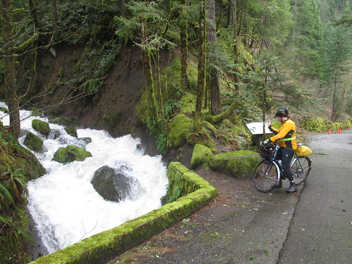
LOTS of water dumping down the creeks and falls.  Ruckel Creek was pretty spectacular.

Ruckel Creek, running high

We did encounter one landslide - right after the fish hatchery, where you are directed behind a fence... well, the bike path is covered in rocks and muck.  We went past that on the off-ramp and then lifted our bikes over the fence.  Not, of course without me trying to hike over the landslide.  Sucking mudpit, it was.

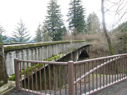
Moffett Creek Bridge

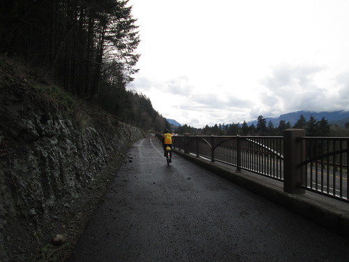
Michal riding along the new trail

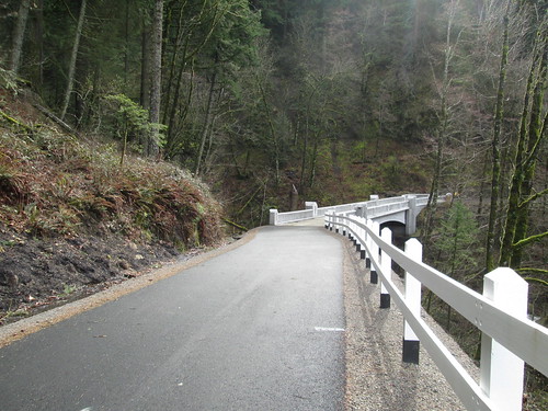
And the new part of the trail?  Nice!  I never realized there was an existing bridge over Moffett Creek.  It is a bit more climby than the freeway shoulder; the path crosses under I-84 (nice new stone facing on the freeway bridge) and then switchbacks up.  Great views to the north, which you don't get from the freeway. The new bridge over McCord Creek is adorable.  Lots of Art Deco fun had there.

The new bridge on the new trail

I saw Michal standing at the far end of the bridge.  It turned out that there was a slick spot there and he'd fallen.  Casualties - handlebar tape, scrape on the brifter lever and the knee of his tights.

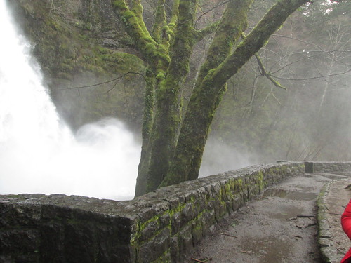
Horsetail Falls was exceptionally spectacular, and we paused for a couple of pictures.  Moving on, we passed by the Oneonta Tunnel, and were hit by a blast of frigid air coming out of Oneonta Gorge.  Very brief parking lot pause at Multnomah Falls - we could feel the ground vibrate from the force of all the water dropping over the falls.

Horsetail Falls spray

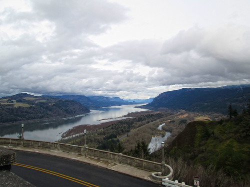
West, west, west, and then up to Crown Point.  Not my fastest ascent, but, of course, I got there.  Michal was waiting.  He then tried to go in to get some water, and discovered that Vista House closed at 4pm, and it was 4:30...  Well, ok, there are convenience stores in Troutdale.

eastward view from Crown Point

Michal's GPS was telling him all sorts of things, none of which were related to the route, or indeed, where we were.

Climbed up to Women's Forum (road slumps repaired), and then prepared to enjoy one of my favorite descents (and, hopefully, make up some time).  There was a bit of a headwind, so we didn't get going for a mile, and then it was way fun.  Bell Road was, as usual, excellent fun, and then we continued dropping towards Troutdale.

Stopped at the convenience store.  Happy to sell us stuff, but no public restrooms.  Ok, the next control will have restrooms.  Looped behind the Troutdale Airport, and up onto Marine Drive.  The wind was non-hindering.  Behind the Portland Airport and off to the control.  A Subway has joined the 7-11 and Dutch Bros.  There is a restroom, but you have to ask for the key.

A customer asked where we were riding, and was a bit taken aback that we had started in Beaverton, ridden out to Stevenson, and were headed back to Beaverton.  She had just lost 70 lbs and had hand surgery, and was looking forward to riding her bike, but perhaps not that distance.

Ok.  17 more miles, one climb. Two hours.  Yeah.

I had carefully studied the NE PDX return navigation this time.  Yes, I designed the route, and yes, I have actually ridden on those streets, but often following Cecil, who knew where she was going.  My route knowledge of NE PDX is more theoretical than practical.  But it was still light, and we did just fine.  Not fast, though - still climbing up from the Columbia River.  Also, urban riding, many stop signs.

Across the Steel Bridge, north on Naito.  Dark now.  Turned a bit early, so had to loop around and take the sidewalk up to NW 9th.  Got onto NW Kearney (definitely climbing now), headed up to NW 25th/Westover.  Many stop signs.  Bit of a pause, because I know where to go when I can SEE, but it being Portland, street signs are sometimes not present.  Ok.  Headed towards Burnside to cross over onto NW Stearns.  Me: "see that black hole?  That's where we are headed."

Climbing Stearns in the dark made me very happy I had both the Luxos U and the Ixon.  Must adjust the Luxos angle downward a bit, I think.  Last info control, still more climbing.

(For the unitiated, Stearns maybe used to be a road; it isn't now.  Switchbacked trail up to the Rose Garden.  Sketchy surface at the bottom. Right now it has fresh Lion of Flanders markers on it for the upcoming De Ronde)

Bailed on the climb out of the Rose Garden (17%), and walked it up to the turn.  Then up through Washington Park (dark, no street lighting).  I have ridden it enough times to know where we were, and was happy to see the lights of the Zoo come into view.

15 minutes.  Still climbing, up to Sylvan.  Downhill all the way from there.  We had until 8:32pm.  Popped out into my neighborhood at 8:33pm :-( :-( :-(

So, at that point we finished at my house (on the route).  Sigh.

That said, always a pretty ride.  And the weather was considerably better than promised.

125.9 miles.
7242 vertical feet (claims the bike computer)

-

Sunday, December 15, 2013

Playing Hooky

Patrick from New York was passing through town, mostly using up frequent flyer miles and riding perms everywhere he went.  I knew of him from Susan and Lesli's LEL pictures.  And, yes, since this job is coming to an end, I figured they could use a day seeing what it would be like without me around :-)

Mt Hood pokes out

The chosen route was Cedric Diggory, because it traveled through both Oregon and Washington.  I have ridden it twice, following the route owner both times.  The part where one is crossing from Oregon to Washington over the I-5 bridge has been known to be a little obscure.  A bit better now, there is finally wayfinding signage.

It was going to be below freezing, but, with any luck, only "occasional flurries".  As long as it didn't ice up, we'd be good.

Found Patrick at Marsee Baking (the traditional start in Sellwood).  We enjoyed some coffee and pastries, and waited for Kevin, who said he'd ride as well.  But right about 10-ish, I looked at my phone, and Kevin was regretfully bowing out :-(

Off we went.  The first part of the route is working one's way north through Portland.  Lots of stop signs and traffic lights.  Once we crossed over Powell it got a bit less claustrophobic.  I played tour guide.  Once we were headed out on Willamette, Patrick stopped to get a picture of Swan Island, because, well, he likes to take pictures. I understand that.

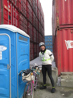
Looping around the furthest west of North Portland, we both needed to stop.  Every public park was locked.  Finally, spotted some facilities behind a fence.  We found the entrance, but they were still behind another fence.  So here we were in this big shipping container yard...  There were some on the far side.  As we were both wearing sufficient hi-vis gear, we cautiously proceeded across the yard.  Stacks and stacks of shipping containers.  No  zombified victims or Wesen, fortunately.

Necessary stop

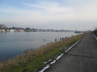
Columbia River, east of I-5

Finally to the entry of the I-5 bridge crossing maze.  I had ridden over it 3 or 4 times, there is now wayfinding signage, and Patrick had the course in his GPS.  At the first turn, Patrick went left.  Nooo, we need to go right here.  After a bit of discussion ("Vancouver is THAT WAY"), we went right.  The way off to the left was after we'd done the Washington side of the route.  Nah, don't blindly trust that GPS.

Through Vancouver, and finally out to the part of the route where there are no stops until one turns around.  I looked behind me.  No Patrick.  Hmm.  Went back to the last turn.  Looked at the cue sheet.  Not sure if it was the turn; surely didn't look like what I remembered.  I went down it anyway, definitely didn't look right.  Pulled up the Maps with Me Pro on my phone; I had loaded the course track, just to see how it would work.  It told me I was in the wrong place too.  (Shout out to Mark Thomas!)  Went back, looked again back down the road, and found Patrick, just finishing up fixing a flat.

Ok.  Northward again, all the way to the turnaround.  That stretch seems shorter each time, probably because it is getting more familiar.    Bits of snow on the ground there.  We counted up things for the info control, and headed back.  No berries to pick, and too chilly to hike down to the river.

Patrick at the turnaround north of Vancouver, WA

Back into Vancouver, again looking for a stop.  I pulled over to a corner area full of little food shops.  Patrick's tire was squashy, so he pumped it up while I took care of business and bought a croissant to share.

Crossed the bridge and navigated the maze, this time heading east.  After a couple of miles on inner Marine Drive, we hopped on the bike path, which provides some really nice views of the Columbia River.  Pictures taken, of course.

Patrick on the Marine Drive bike path

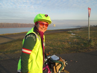
Me, at the north end of the I-205 bike path

Then south on the I-205 bike path (great views of I-205, and more maze-like navigation).  Patrick paused to pump up his tire again in Maywood Park.  We did enjoy the new SE Division St undercrossing (yay!  no surface crossing!), and finally popped out on SE Harold, to finish up on the surface streets.

Did I mention that time was running out?  Yes, indeed.  East on SE Woodstock, in the dark and rush hour traffic.  Several blocks of narrow lanes and parked cars (eek!), but then it improved.  We turned left on the street which becomes SE Bybee (whoo! almost done!), admired the houses in Eastmoreland, crossed over McLoughlin on the pretty arched bridge, and a few blocks later... Done.

Of course the bakery had just closed - we walked in and they kicked us right out.  Starbucks right across the street, so receipt finish at 5:07pm, 7:07 elapsed.  9 minutes to spare.

Patrick finishes his paperwork

Kevin joined us for a visit, and entered our results right there.  (Hmm.  Maybe a page designed for mobile perm results submission?  I have been known to enter results at the finish as well.)

Overall, great fun, and nice to meet and ride with Patrick!

A few more pics here

Thursday, May 9, 2013

Let the Grey Geese Fly! Fleche 2013

Last fleche I participated in was back in 2008. At the time, and for several years after, I was pretty darn sure I did not want to do it again.  Last year, I wanted to, but the timing was sub-optimal.

This year, I found myself designing a route in November, assuming an Olympia finish.  There were two of us, and we quickly recruited two more.  Then one more.  And an alternate.  I continued refining the route, hunting for control locations, and getting the distance as short as I could.

The route: http://ridewithgps.com/routes/2235322

Things can change quickly before a fleche.  Two teammates withdrew to go ride some dirt.  The alternate suggested "next year".  Another person joined us out of the blue, which was good, because someone one got injured.

By now, you might be wondering about the origin of the team name?  It indeed has to do with arrows.  I am a fan of the S. M. Stirling Dies the Fire alternate future history, which is set in mostly in the Willamette Valley.  We are all from the Willamette Valley.  Seemed to fit.

By now, the route was finalized - EXACTLY 223.7 miles (360km).  Somehow I did not get as much done before the ride as I would have wanted, but the bike was cleaned (and wow, did it need it!), and I did a lot of mental packing.  Late Thursday, I did some, but not all, real packing.

Michal, Cyndi (Mrs. Michal, ace driver and cheering squad), and Keith all appeared later Friday afternoon.  Cyndi and I made the Coconut-Blueberry-Chocolate Chip rice cakes for the ride and dinner (Chicken and Spinach with Rice and Lentils).  Michal tried to get a nap.

Smiling at the start

After dinner we filled up bottles, did last minute faffing, answered the door ("Lynne, there is someone here giving away money! - I love in-person paycheck delivery :-) ), and then coasted over to the Village Inn, our official start point.  Fitz and Cyndi drove over, and we all had pie.  The riders also had some coffee.

Fitz and Cyndi came over to see us off

And, at 7pm, we started out.  The cue sheet was only 2 pages long, and most of the first page was going the first 24 miles to Banks.  A couple of short stops along the way, to add clothes and such.

Michal had gotten a new GPS, had loaded the route, and was trying to get it to prompt him for turns.  The key word here is trying.  Some badmouthing of the GPS user experience ensured.

But wait!  Heading west on Meek Rd, we spotted three cyclists approaching!  It was The Ladies' Tea and Crumpet Society, the OrRando women's team which started in Albany at 1pm.  A short visit, and a round of pictures and we were off again.

You run into the most interesting people out riding!

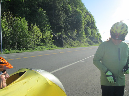
Got a look inside Keith's windsock on his recumbent. - big storage compartment in back, and a nice storage arrangement in the front.  I think he had a microwave, video game console, fold-out bed and hot tub in there.

Onto the Banks-Vernonia trail.  It felt a little more claustrophobic in the dark.  I couldn't ride next to or close to anyone.  Michal and Keith found a cyclist sleeping off to the side of the trail; no blanket or anything.  He said he was ok.  Perhaps alcohol was involved.

Our control in Vernonia was the Cedar Side Tavern (nothing else open just before midnight.)  We got our cards signed, and were apparently very entertaining to the very relaxed crowd.  One woman assured us that she could not ride the length of Vernonia (!) without getting exhausted and told us to watch out for log trucks (note: no log truck sightings).  Ate a savory rice cake.

Cedar Side Inn, Vernonia

Then north, with the next maybe stop the Birkenfeld Store.  We did stop briefly and snack, but they were very closed.  Guess the late night is Saturday.  We pulled on some more clothes.  It was about 43 degrees and just downright chilly.  By now I was wearing shorts, knee warmers, short socks, shoes (you know, those toe covers would not have been a bad thing to bring along), ss wool jersey, wool armwarmers, ls wool jersey over that, windbreaker and my Windstopper reflective vest.  A wool cap and shortfinger gloves with the DeFeet wool gloves over those.  In other words, all the clothes I had with me.

Keith playing with the lighting outside The Birk

Michal at The Birk

I mentioned to Michal that I had forgotten to put Mr. Happyface in my bag, and it might have come in handy.  Michal: "well, I wasn't going to tell you, unless your neck really started hurting, but I've got ours along." :-)

Water stop was at the Elk Refuge, 13 miles down the road.  Before we got there, I had to pull over and close my eyes for 10 minutes.  Oh, this isn't going to be good...

The bathrooms were unlocked, and joy of joys, heated!  Keith headed into one, I went into the other.  I finished, Michal came in and left.  I went in to fill bottles, came out, and found Michal sitting on the ground with his shoes off.  Keith was apparently still in the bathroom; Michal was beginning to wonder if everything was ok.  At which point Keith poked his head out and cheerfully informed us that they were heated!  We all went inside for a few.  The SMART rider (clearly not me) would have brought a snack along and eaten it.  Need to get into the "if you stop, stuff something in your mouth!" mode.

Now we were starting the climb over the Coast Range.  It was dark and chill.  And I kept needing to nap.  Passed over the summit, and it seemed way too easy to get there.  Perhaps because of the stops and not entirely speedy pace.  Much zipping of jackets and such (we were all wearing everything we had), and the long-ish downhill to Olney.  The store wasn't open yet there, but it was just before 6am.

What with all the stops, Michal finally figured out how to get his new GPS to prompt him on turns.

A few more naps, including one at the big Hood-to-Coast/Portland-to-Coast Relay camping field ("hey, I've slept here before!"), and it started to get lighter.  No need for headlights to see.  But still no actual sun.  Just before Astoria, the sun did put in an appearance and I looked right at it, in the hope that it would perk me up.  It actually did.

Route planning note.  I routed us the shortest way to the Pig 'n' Pancake, because I didn't want another control.  So Michal and I rode that way, which meant UP (4 stair-step climbs) and then DOOOOWWWWWN (that was very, very steep, with a stop sign, and then gravel).  We found Keith at the Pig 'n' Pancake, sucking down coffee.  He had ridden around, which is flat. Keith had no cue sheet - "hey, I am just going to ride along with you all!"   Breakfast ordered all around; I didn't do a great job eating all of mine.  The waitress and adjacent diners were a bit amazed at our riding plans.  We were outside our time window, but the slowest time was way slower than we would be riding in the daylight.  I was positive we'd get back on time.  Michal was a bit stressed.  Keith was cheerful and continuing to crack bad jokes.

Then up and over the Astoria-Megler Bridge - 4 miles long.  And we were in Washington.  A pause to peel off extra layers - we kept them on because it was windy up on the bridge, but now, with the sun up, it was already over 60 degrees!  With a stiff NNE headwind.

We rode across that

Warming up

Long stretch headed north to Raymond, via Naselle.  Lots of sloughs adjoining the river which feeds into Willapa Bay, and a set of relentless little climbs.  Eventually we popped out on the flats, and headed into Raymond.

Columbia River

Keith and bonus photographer shadow

Michal, hydrating

Slough

After a bit of discussion we decided to stop at McDonalds - they did have coffee.  I got a mocha frappe, with chcolate and whipped cream in addition to the coffee.  Ice cream headache!  It was right before noon, and we were back within our time window.

Then Raymond to Montesano.  Discussions on the proper pronounciation ensued.  I pronounce it like everyone else in Huntsville, Alabama pronounced it, which isn't anywhere near the proper Italian pronounciation.

Mr. Happyface made an appearance at least once.

Marcello had warned us that it was surprisingly hilly between Raymond and Montesano.  The route profile had 5 little lumps, and, indeed, starting right out of Raymond, there they were.  Slog up, pedal down.  I was counting, and was happy to leave #5 behind us.  Lots of logging through there.

Into Montesano, quick stop for water and a sweet rice cake.  Water in the bottles, water dumped on heads...  Off to McCleary.  The road between Montesano and Elma is possibly the worst chipseal job ever, with 3 levels on the shoulder.  The furthest right was original smooth pavement, but it varied in width and had loose bits of gravel on it.  Once we got to Elma the road improved some.  Michal tried to pull me, but I was not mentally alert enough to draft.

I kept apologizing for being slow and kept being told to quit apologizing.

Some up and down, and FINALLY into McCleary, our 22 hour control.  About 15 minutes before the 22 hours.  My toes had been killing me, so Michal told me to take off my shoes first thing.  I did that, and then stretched out on the sidewalk for a 5 minute rest (not to be confused with a nap).  Cold water appeared, bottles topped up, various potions mixed in.  Cold water dumped on heads.

On to SR-8, and the nicest pavement of the entire ride.  Big wide smooth shoulder bounded by a rumble strip.  Noisy, but I didn't care.  The headwind didn't seem quite as fierce.  Mostly.  There was a gentle climb for about 10 miles, then a wonderful downhill all the way to our exit.  Michal's GPS was confused, but I knew where I was.  A few more miles then into Olympia, where we stopped and checked maps.  And, at 6:50pm, rolled up to the front door of the Governor Hotel, where the Ladies' Tea and Crumpet society, Cyndi (volunteering!) and another volunteer came out to applaud.

Smiling at the finish as well

Pictures.  Soda.  Beer. Chips.  Strategizing on dinner.  Asta and Susan recommended a BBQ place a few blocks away.  So, after some sitting and eating and talking, we all went and got showers, then came downstairs to find Susan and Asta and Lesli ready for another dinner :-)  Tasty beef BBQ.  Walk back through downtown Olympia - pretty lively place!  Early bed.

Wandered down for coffee and first breakfast at 8am, knowing we'd have a nice banquet at 9am.  Found many riders in the breakfast room, with the same plan.  At 9am we all drifted into the banquet room.  Mass quantities of very good breakfast and fun people.

Each team got up and described their ride.  One team went for a serious amount of off-road.  While there was a cue sheet, there as also Ian, who knew where to go.  The serious distance team did, well, serious distance with serious vertical feet.  The Ladies' Tea and Crumpet Society had a strict schedule and stuck to it.  We finished in time, which is all, really, which is required.  360km, 3 machines finish together.

While there were no official awards,  we obviously got Lowball (shortest distance) and Slackers (least climbing).

Keith was planning on riding back.  So was Asta, so they joined forces.  With no arm-twisting at all, Susan joined them.  They finished somewhere around midnight.
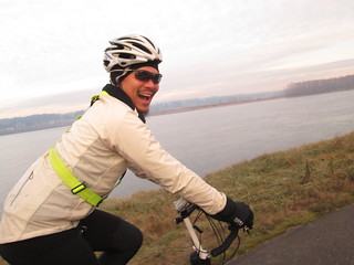
Evidence of participation

And all the pics