Sunday, March 31, 2013

First 200k Brevet of 2013 - Banks-Elsie 200k

Ah, brevet season started!  Path to qualifying for the Big Wild Ride underway!

Bucolia

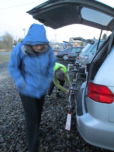
Lesli, Michal, and Cyndi came up from Eugene on Friday night, so we'd all have a reasonably good night's sleep before the ride.  We established that my bike could also fit in the van, freeing up my vehicle for daughter and partner to borrow to buy and transport more baby furniture :-)

Right.  It being Passover, my on-route food choices would be a bit constrained.  I researched Passover fruitcake recipes, found one, and sort of merged it with my non-Passover fruitcake recipe.  That will be another post, but I will say the results were pretty darn spectacular.  So I had food for the ride.

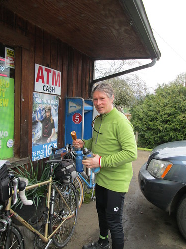
Fed everyone matzah brie for breakfast.  I think they liked it.  We also consumed full-caff coffee, and headed out.  Cyndi dropped us off and headed off on her excursion for the day.

Cyndi shivers at the start; Michal faffs with his bike

Moon over Banks

Riders at the start

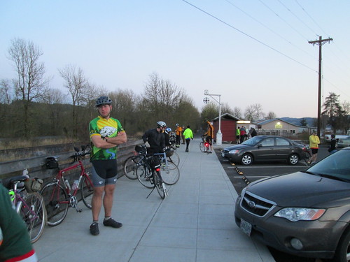
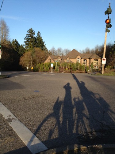
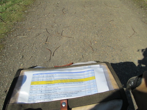
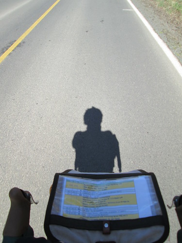
Route rap from Ray.  My contribution - "ends at the pizza parlor, not here, right?"  Yes, thank you :-)

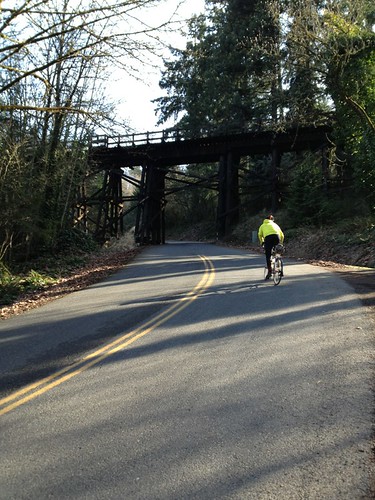
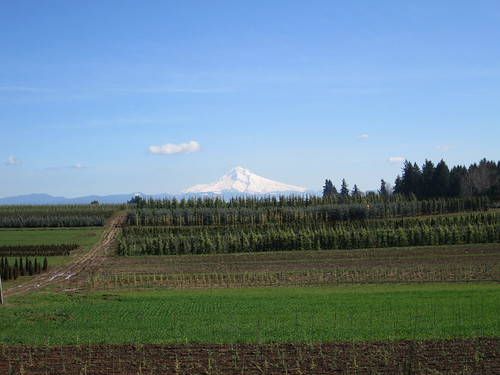
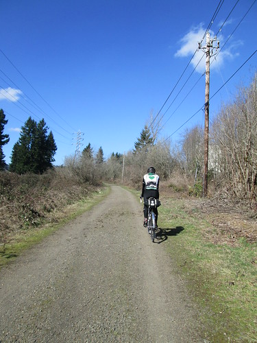
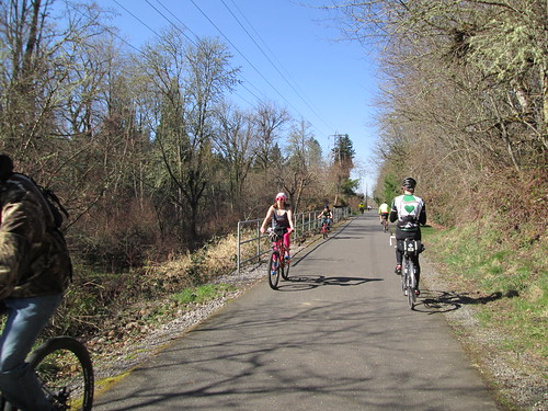
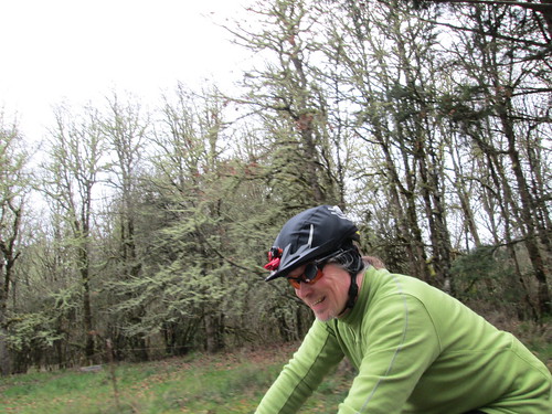
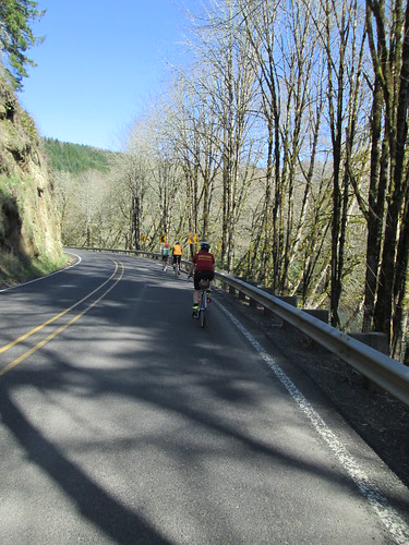
First 20 miles to Vernonia were all on the wonderful Banks-Vernonia trail.  I was a bit jittery from the full-caff coffee, and had to stop to put my water bottle back on the bike.  Happy when that wore off.  Another pause to lose the jacket (starting temp 40 degrees).

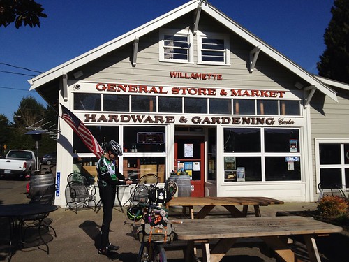
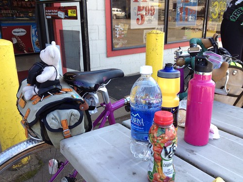
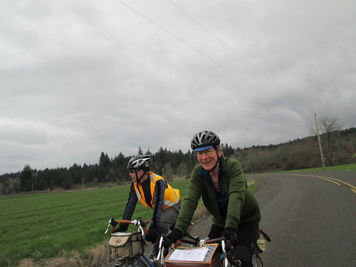
Michal was on ahead; Lesli and I arrived in Vernonia, and went to Black Bear for a coffee.  Only a coffee.  Michal's FB post said he was at the Shell Station, so I called him, and he came over to meet us.

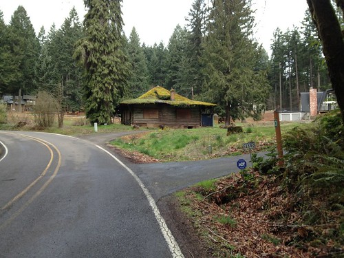
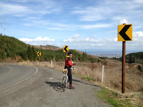
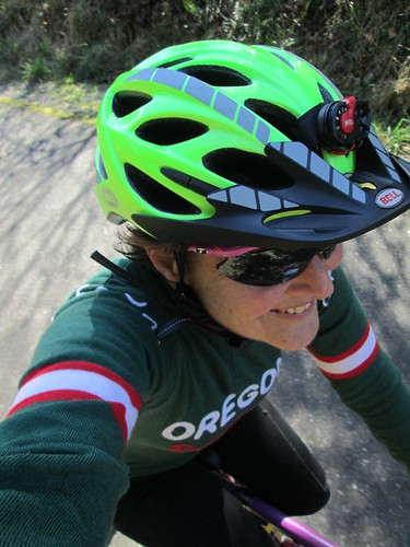
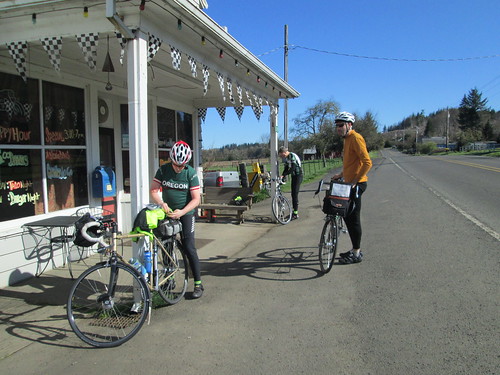
We headed out of town on Hwy 47, which would eventually turn into Hwy 202.  Although it was not a control, we stopped at The Birk (formerly the Birkenfeld Store) to remove layers and apply sunscreen.  I pulled on the first cycling cap I made from extremely expendable fabric.  Lesli totally wants one.  I think I have enough fabric still, so she'll get one.

Non-control pause in Birkenfeld

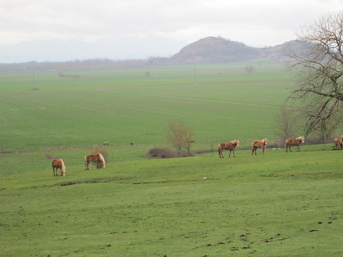
Twelve more rolling miles and we were at the Elk Refuge.  Water bottle refilling, answering the info control question, and removing the last of the layers - off with the toe covers, knee warmers, and baselayer!

Lesli, Michal, and Rob

Shadow Panda

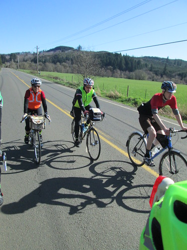
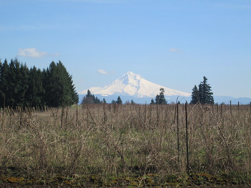
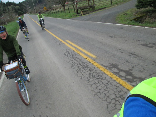
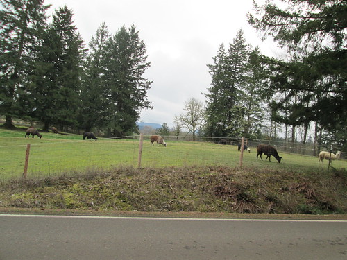
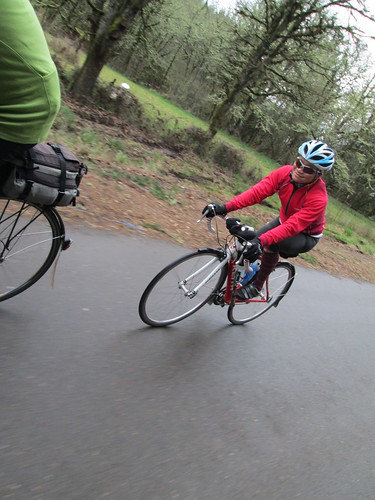
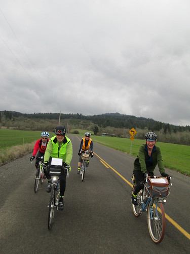
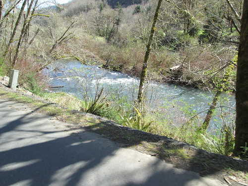
From here we turned back and then right on Hwy 103.  This was an entirely new road to me.  All I knew was that we'd end up on Hwy 26, for the control at Bakers General Store.  Very scenic road, and very little traffic.  Oliver was riding with us by this point.

Farm, heading south on 103

Oliver

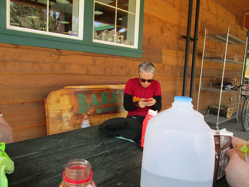
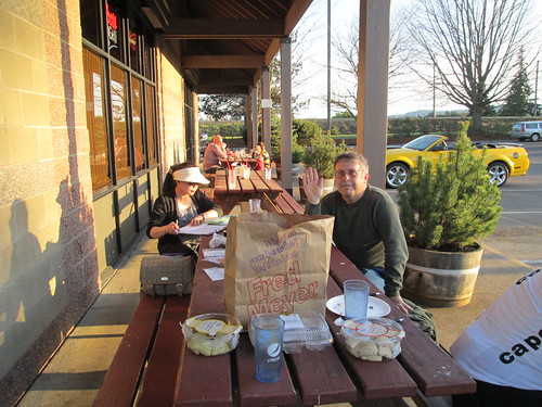
Crossing Hwy 26 was a bit tricky, but we found many other riders at the picnic tables outside the store.  I bought V-8 and a bag of Fritos, and envied everyone else their sandwiches and pups in a blanket.  Ah well.  Tuesday night, bread blowout!

Mid ride documentation

Rob and Kevin in Elsie

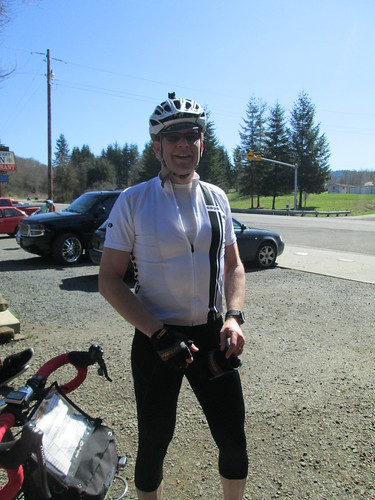
Jeff A finally caught us here - he started almost an hour late.  Bet he hurts a bit today!

Jeff caught up!

Little Pink Bear supervises

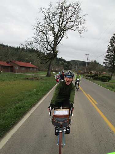
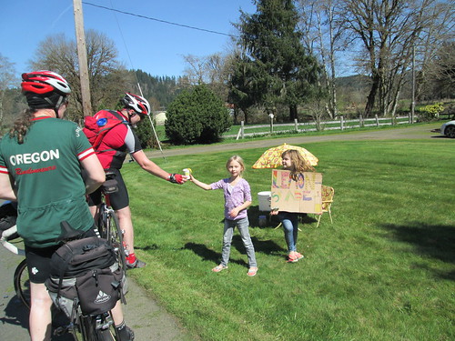
Back onto Hwy 103, this time stopping at the lemonade stand.  I think pretty much every rider stopped on the way back :-)

Best lemonade stand ever

River

Cute little donkeys

Barn doors

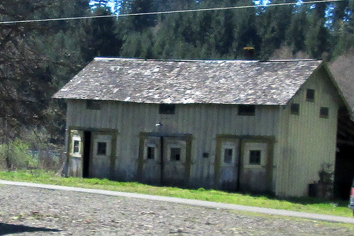
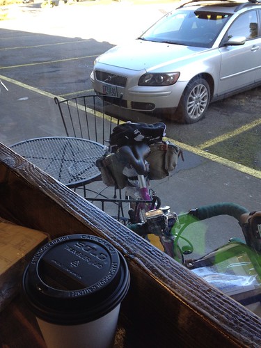
And back onto Hwy 202, back to The Birk (open now), where we refilled our bottles.  Not hardly anything to buy - chips, drinks and beer, unless you were ordering something.  I'd do that on another day; they make great sandwiches.  I had purchased a V-8 for the road back in Elsie, and drank it here, and ate my banana.  I'd been nibbling on chunks of fruitcake and eating gels every so often all along.

Nehalem River

It was getting pretty hot; my bike computer suggested 80 degrees.  Too hot for me this early in the season; I was feeling it.

20 miles to Vernonia; off we went.  After finishing off the seriously rolling parts of the road, it was level/slightly climbing to Vernonia.  I paused once for some Vitamin I - knees were less than happy.   Two ambulances, a police car, and an incident command car went the other way, sirens and lights on.  We hoped it was not someone on the ride.

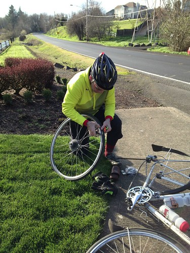
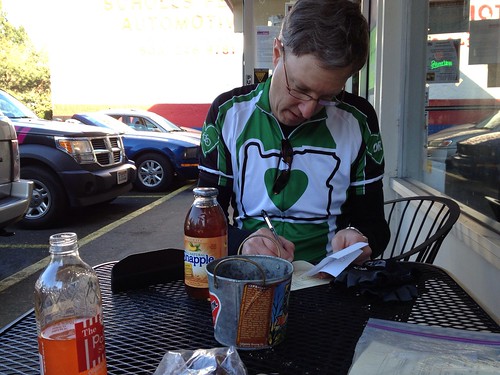
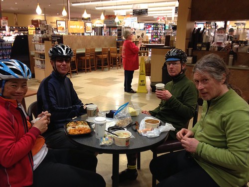
Just outside Vernonia, Michal though his front wheel was going squashy.  We got to the Black Bear, and he decided to order first and then fix the tire.  He wanted what the guy in front of him got, what was it?  It was a  Big Train - basically any coffee drink blended and cold.  Lesli ordered a Big Train, and I ordered a Mexi-Mocha Big Train :-)  It was hot.  I also swallowed some Endurolytes and ate more fruitcake.  Michal's drink appeared; Lesli took it out to him.  I got his waterbottle filled just as he finished the repair.  Maybe a longer pause in Vernonia than anticipated, but that was ok.

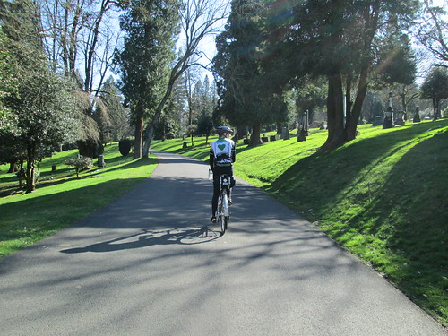
After much scrubbing of hands :-) we headed back to the trail for the last 20+ miles.  Peaceful.  Quiet.  Except for the sound of Lynne breathing heavily trying to keep up with Michal and Lesli.

And then, finally, the summit of the climb, and flying downhill to Banks.

Ken and Rose were checking riders in at the finish.

Rose and Ken greeting us at the finish

I checked my riding average - 14.4mph.  No WONDER it hurt!

Our elapsed time was 11:45; my bike computer read 132 miles.

Lots more pictures here

Spot track here


Skyline Climbs Populaire Checkride

Up the west hills 6 times, 7200 vf by Bill's GPS.

Some time ago I mapped out a permanent populaire which climbed hills.  It would need a lot of info controls, because all it does IS climb hills, and doesn't go anywhere with services.

Route link

I put it out as my birthday ride; I'd be riding more than my age and climbing considerably more than my age in hundreds of vertical feet :-)

Bill thought he'd join me; he said he needed to work on his climbing.  That's two of us.

He came by the house and we started out.

First climb: NW Cedar Hills-NW 119th-McDaniel-Thompson.

Wandered west on Skyline, and dropped down Springville.  Bottom of Springville is flat, but turning onto NW Kaiser starts back up.

Second climb: Old Germantown.  Winding, switchbacks, good views.

Then up Germantown to Skyline, and west again, crossing Cornelius Pass, and dropping down Old Cornelius Pass for a short bit.

Third Climb: Rock Creek (more potholes than road until you get to the county line)-Elliot.

Turn left on Skyline, and drop down Beck.

Fourth Climb: coming up Beck on the other half.  Ouch.

Topping out at Johnson Rd (the headwaters of Logie Trail Rd), we took a bit of a break, before FLYING down Logie Trail, except for the hard left after the drop and subsequent 11% short, but painful climb, then down again.

West again on Helvetia Rd.

Fifth Climb: Jackson Quarry-Mason Hill-Solberger-Moreland (hi Ray!)  Longest climb.  Be sure to check out the abandoned log cabin (covered with moss) and abandoned car (even MORE covered with moss).

Abandoned log cabin on Mason Hill  Rd

Mason Hill Rd is full of surprises

We paused at Ray O's house near the top of Moreland, topped off water bottles, and got a tour of Ray's bicycle corner in their capacious shed.

Ray's bicycle shop.  I am so jealous

Barb and Ray

Then it was time to head west again on Skyline, and drop down Rocky Point to Hwy 30.

Bill at viewpoint, descending Rocky Point Rd

After a wrong choice at Old Rocky Point road looking for the marina/little store (wow, what's a real 60's encampment there :-) ), we found the correct Old Rocky Point Rd just before the weigh station on the left.

Rocky Pointe Marina control

Carefully crossing Hwy 30, we dropped down, and were pointed at the store.  Crossed the gangplank to the float where the store was situated.  It had actually closed at 3pm, but the nice folks reopened it.  Ice cream, drinks, snacks.  And very new, clean public restrooms.  And a deck overlooking the river.  But don't linger too long if you are on the clock because...

Now heading east on Hwy 30 (cross carefully), the first right after Cornelius Pass is...

Sixth Climb: McNamee.  Cross under the rail trestle, and enjoy the 17% grade.  It slacks off pretty quickly, and eventually gets quite manageable.  Pretty climb.  You actually go a bit higher than Skyline and drop down to it.

Bill at the base of McNamee Rd

Then back on Skyline to Cornell Rd.  Up and down, but not oppressively so.  Bill came up with a flat, so we paused at a nice grassy subdivision entrance spot to fix it.

flat fixing on Skyline

That would be a good info control over there...

The drop down Cornell is very fast.  No bike lanes, and really awful to do when the sun is in your eyes.  If you are riding this as a permanent populaire, not likely to be a problem.

Down and up on Cedar Hills, west on Barnes Rd, ride up through the Sunset Transit Center parking garage (lights on for safety and visibility, also if you are taller than some height I do not remember on your bike, use the elevator instead), across the pedestrian bridge, and done.

We crossed the Multnomah County-Washington County line too many times to count.

And yeah, it was getting dark-ish, glad I had my rando bike and helmet with all the lighting!

Not yet submitted for approval.  I am not entirely sure I could finish it in time.  We certainly took OUR time riding it.  I sucked down a gel before each hill (as well as eating), and none of them gave me any particular difficulty.  4mph is a speed.

Totals for the day: 68.25 miles,  riding average 9.85.

Tiny PBP

Kevin L and I were the inaugural riders of Bill A's Tiny PBP permanent populaire - Portland - Boring - Portland.

Mt Hood

We started at the Uptown Market, which is a few miles SE of my home; I rode over.  Uptown Market's clientele seems to be the home brewer, plus they've got an amazing selection of beers for sale.  Bill met us there to collect releases, hand over cards and see us off.

Coffee at the start

And off we went.  We worked our was south through Tigard, and onto a bike path I didn't know existed, paralleling I-5 south until Hwy 217 intersected it.  Crossed via two crosswalks (very heavy traffic there), then continued east on the path alongside Kruse Way.  The path has some seriously interesting root humps; be very, very careful.  Kevin: "one could get high-centered on that one!"

Through Lake Oswego, popping out for a short bit on Stafford, then east on Johnson and Blankenship, which were scenic and quiet (nice view of Pete's Mtn to the south), eventually dropping us in West Linn, the first control.

The control was specifically at the Willamette General Store and Market, which really does sell EVERYTHING.

First Control

Thus refreshed, we headed east to the relatively newly reopened historic bridge into Oregon City.  It was closed for a couple of years, and has been refurbished, and is complete with sharrows.

Willamette Falls

Mt Hood and the Oregon City elevator

Out of Oregon City, working our way over relatively familiar roads in the other direction ("I don't remember these hills!")  Maybe Redland Rd was new to me, 5.1 miles of, um, rolling and scenic terrain.

Mt Hood, framed by powerlines

Clackamas River bridge by Barton

Mt Hood

The next control was in Boring; we elected to stop at the Green Food Mart, which is directly across the road from our next turn.  While we were up on time, there was a lot of climbing to get here.

Green Food Market in Boring

Immediately after that, we crossed over and got onto the Springwater Corridor Trail.  The non-paved portion.  Fortunately for me, it more resembled "dirt" than "gravel", and we had a great time.  I could see that after a period of intense wet, it could be a sucking mudpit, but not so today.  Lots of walkers out on the trail, and indeed, as we transferred to the paved portion, many more cyclists and pedestrians, because it was a nice day!

Kevin on the Springwater Trail

Dirt Panda

Busy day on the trail

Crossed the Willamette on the Sellwood Bridge, taking the lane.  This was cool, because they had just slid the entire bridge north to make a place to build the new and improved bridge.  Getting across the road to enter the cemetery was easy, loop off to the right under the bridge, and cross at the light.

Evidence of Participation

Riding up through the cemetery is fun, but it does get steep at times!

Kevin climbing up through the cemetery

THAT'S gonna hurt

Daffodils and Mt Hood

Downhill, and turning onto Spring Garden, which is sooper seekuret  route under I-5.  Seemed to have rather more uphill on a bike.  I've only ever driven it; the son's trumpet  instructor lived in the neighborhood.  The turn onto Multnomah seemed a little sketchy; exercise caution.  Kevin elected to ride the sidewalk on the left side of the road until he felt he could safely get over.

Then we were in Multnomah, and it was all downhill to the end.  A bit of riding on the Fanno Creek trail, and we were done.  The Uptown Market was definitely hopping by now.  I got a soda, and we sat down outside in the sun and finished up the paperwork.

Kevin completes the post-ride paperwork

Easy ride home.
67.5 miles in all, 11.6 avg mph

All the pics here


Tuesday, March 19, 2013

Five Rivers Triumph

Journeyed down to Eugene to give the Five Rivers perm another try after the defeat in January.  Michal was riding (of course), and there were three newbies - Kathryn, Anna, and Virginia.  All strong riders, only Kathryn had completed a 200k before.

Baked a fruitcake to share.  This one was the best yet, but I haven't figured out what I did differently, other than use pastry flour for half the flour.

So, down to Eugene Coffee Company shortly after 7am; Kathryn and Anna were there.  Virginia appeared just before 7:30, I handed out fruitcake, Michal handed out cookies, and we took off.  It really wasn't cold, and I ditched the jacket, cap, and heavy gloves at the first info control.

Out to Walterville, on a slightly undulating road.  I'd fall back on the ups and catch up on the downs.  Bought my standard banana there, and ate some fruitcake.  I was really concentrating on eating.

Either to or from Walterville
(Anna does not have wings.  I think that is a dog)

Kathryn

Then the long, long, long ride to the first climb (really, Marcola Rd seems to go on FOREVER).  Kathryn, Anna, and Virginia pulled ahead.  I munched on cookies. We found them pulled off at a fire station, snacking.  Well, okay, we could do that.  I started getting chilled, so I took off.  Michal: "Wait for us in Crawfordsville!"  Haha.

I sucked down a gel before the start of the climb, and was on my way up, almost to the top, when they caught me.  But no stops, no walking.  One down, two climbs to go.

Down to Crawfordsville, where we paused at the store.  Mmm.  V-8.  More fruitcake.  Make up another bottle of calories.  Michal ate a corndog.  I have still not gone there.  I am not sure I will ever go there.

Michal, eating a corndog

Then undulating along Crawfordsville Rd, which is one of the prettiest bits of this ride.  As Fern Ridge was approaching, I sucked down another gel.  Two big undulations at the end.  Everyone else paused at Holley School, but I kept on going, so as to get a bit up the climb and not hold them up waiting at the top.

Last time, I walked most of the climb.  Not a good day.  Ground my way up.  One stop to get the heart rate down, then spun my way up to the top.  They caught me as I pushed off from the stop, and we all worked our way to the top together.  MUCH better day, no walking, no other stops!  Cheers all around!

Headed up Fern Ridge (picture by Virginia Xing)

Then down and through Sweet Home, heading off to Lebanon.  Pleasant Valley Rd is another really pretty stretch.  Then Mc Dowell Creek, and other roads I forget.  We encountered a bike club out for an outing, and chatted a bit, then we headed in towards Lebanon, and the lovely Safeway deli area.

Llamas enroute to Lebanon

Michal

This day they had chicken noodle soup (yum!), to which I added a mocha.  Virginia got a whole plate of Chinese food, and inhaled it.  Ann and Kathryn had their own snacks, and Michal got a bowl of chili.  We planned on a half hour stop, and kept to that.

Pause in the Lebanon Safeway

Virginia

Anna and Kathryn

We were now heading south, and expecting a bit of a headwind.  It never did really materialize, yay!  As we were wandering along the edges of the hills (I am told they are called "buttes".  They do not resemble the buttes from Texas...), we were also wandering along the edges of precipitation.  Never got heavy enough to consider rain gear.

Riders

Hi-viz and blueshirt evidence of participation

Past the Better than Average Horses, with a quick picture pause, then in through Brownsville.  There was a stop in the DariMart parking lot, but not for much and not for long.

Heading South (picture by Virginia Xing)


The better-than-average horses
(Butte in the background)

Then out again on Gap Rd, which contains the last climb of the ride.  Which I also completed, in a slow and steady manner.  Oh, and the sun had not yet set.  Down and on to the flats, eventually crossing over I-5 and south on Coburg Rd.  Some of the newbies were feeling fried at this point, so we slowed way down.  Leisurely 10 miles to Coburg, where we learned that there are public flush toilets in Coburg!  That was certainly worth a stop.

Many, many lambs on Coburg Rd

Daffodils as well

Except, after that stop, Kathryn, Anna, and Virginia (well, heck, Virginia never got tired or needed to slow down; she's a rocket in real life) perked back up, and we didn't see them...

Last few miles through Eugene.  Michal: "I think I don't want to ride up the hill".  Me: (inside:  YAY!  WONDERFUL!) "uh.  ok.  If Cyndi wouldn't mind picking us up..."

Then we were off the bike trails and onto Chambers (there are probably some other streets in between), and at 18th and done.  Virginia was waiting for her ride.

Oh, and time check...  Fastest ever circuit of this route.
11:34 elapsed, 130 miles.  :-)

Cyndi took us up the hill.  Michal: "we'll get dinner that much faster".  They thought I shouldn't drive home afterward (dark, raining, just did a long bike ride), so Cyndi and I had a rousing game of Bananagrams, and we all conked out.

Drove home in the sunlight after a great breakfast.  Much better.