Showing posts with label brevet. Show all posts

Monday, November 20, 2017

I Am Never Going to Catch Up - Rides since August

Sigh.  Not Keeping Up Here.  So you'll get a summary.

August

We were in Michigan in August, and I took cards and cue sheets for my 3 routes up there, as well as a registration form :-)  I now have left them in my storage box.  I decided to ride the 218km route to the Grand Traverse Lighthouse and back.  Getting there was uneventful; big lunch in Leland, pavement from heaven.
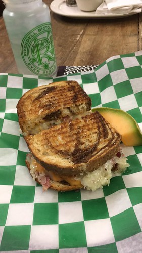
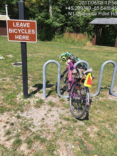
Lunch in Leland, MI.  Grand Traverse Lighthouse 218km perm.

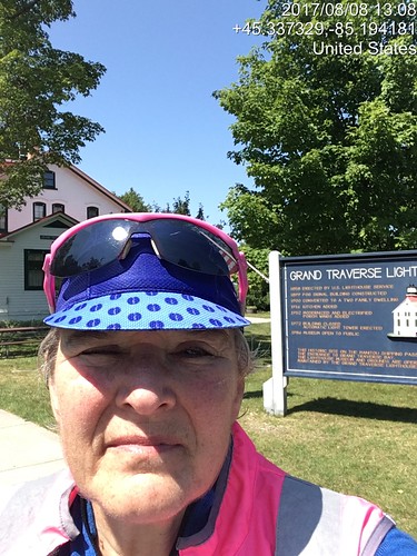
Grand Traverse Lighthouse control documentation.

Grand Traverse Lighthouse turnaround.  Evidence of participation.

The day got hot.  The headwinds from the south were evil.  The hills were killer - not very high, but with the wind whipping in on the bare crests...  Ow.  My feet are telling me to not ever do a 200k wearing my Keen sandals ever again.  Long conversations with myself the last 40 miles.  I officially finished at the Blarney Castle gas station c-store, then met Fitz at Stormcloud.  Except they were having an employee thing, so we relocated to Dinghy's and had the Fred Flintstone plate.  They don't call it that, but the ribs are big.

Also August

Ray rounded up Paul and me to ride the Banks-Elsie 200k.  The weather was excellent, as was the company.
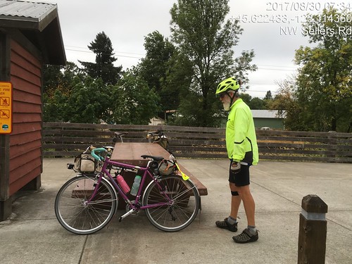
Paul, Banks-Elsie

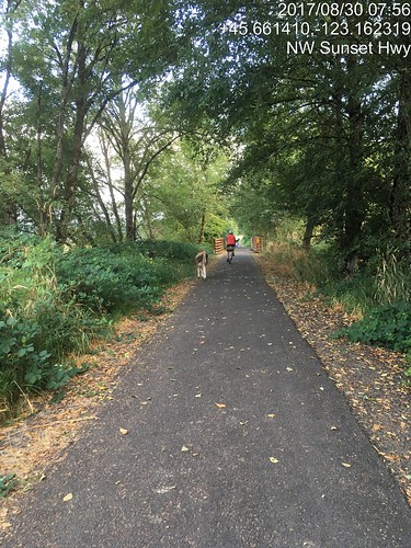
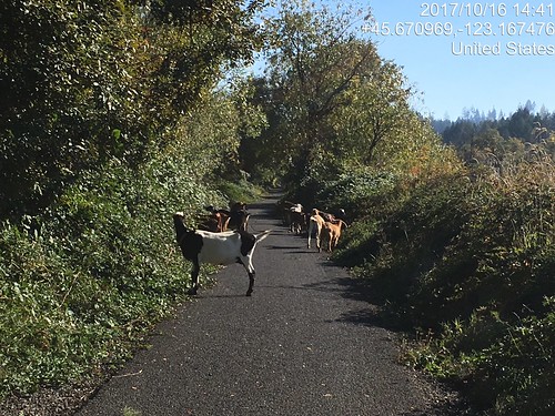
Stray goat, Banks Vernonia Trail.

The outgoing leg on the Banks Vernonia trail was notable for one of the Wingham Farms cows standing right in the middle of the trail.  We edged by.  This being a weekday, it seemed that every log truck in the universe was out on 47/202/103.  They all passed politely and professionally; I waved a lot.  I like to acknowledge courtesy.  Still, the thought of riding BACK with log trucks was a bit intimidating; tight curves at the western end of the route.  The Elk Refuge bathrooms have been reconstructed and are quite nice.  The one I used had a big wooden bench, possibly suitable for taking a nap on, should one's fleche route go by here in the middle of the night.  No elk, but they are rarely there in the middle of the day.  We got lunch at the turnaround in Elsie; sat outside on their covered porch entry.
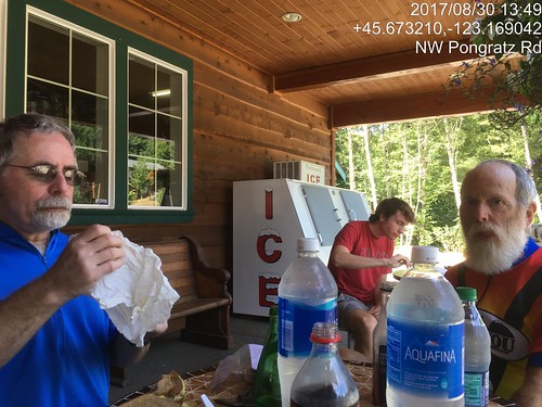
Ray and Paul (and unidentified person) enjoying lunch at the Elsie turnaround

So, time to ride back.  Hey, no log trucks!  Paul: "they've been out here since 3 in the morning; they've all gone home."  And a tailwind of sorts.  We paused at The Birk just because; the owner (Mike) invited us in to refill our bottles and use the facilities.  He's got some massive Bull Mastiffs.  Fortunately, they were off duty and quite friendly.

Nine miles back to Vernonia, with shade and a real tailwind after we turned south.  I love that shade.  Paul and Ray were counting the number of times we crossed the Nehalem River.  They came out with 24 in all.  I kept losing count.  I had some ice cream at the gas station c-store.  Now only 20 miles on the trail; easy peasy.  It was thinking about dusk, but not really, when we finished.

September

Susan wanted to know if I would want to ride my Beaverton-Hagg Lake-Carlton 200k with her.  I knew EPP (electronic proof of passage) had been approved by the RUSA Board, because this route has a large number of info controls, and she's not fond of them :-)

There was going to be a NW wind, which would make parts of the return a bit challenging.  I chose to ride the Lemond (the fast bike).
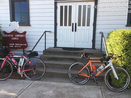
Historic Helvetia Church

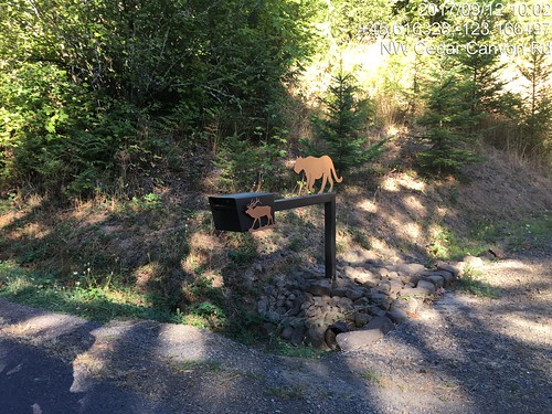
That's a pretty mailbox.  Cedar Canyon Rd, Beaverton - Hagg Lake - Carlton perm.

Really nice in the morning, all the way to Forest Grove.  Lovely new pavements.  We stopped at the c-store for expediency.  I may have also had a salt pause.  Old Hwy 47 to the Lake Store, formerly a mass of potholes and cracks has been repaved.

Circumnavigation of Hagg Lake - website said the lane was "restricted".  At the lake, it was "closed". We rode as far as the info control, then back to the intersection w/West Shore Drive by the dam.  and rode an out and back on the dam to find the missing .4 miles.
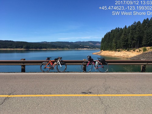
Lynne and Susan's bikes at the Hagg Lake dam, verification of distance makeup.

As it was getting hot, we stopped at the Lake Store again for more water; I also inhaled a V-8.  The wind might have been helpful on the way to Carlton, but it was hard to tell.  We did the Carlton control at the bakery, where I had an EXCELLENT lemon tart and a citrus soda of some variety.  It was really hot by now. 
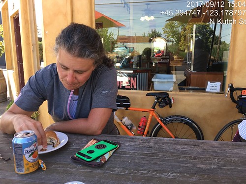
Susan at the Carlton Control, Beaverton - Hagg Lake - Carlton perm.  Hot day.

There was nice shade on Hendricks, another salt pause, and then we turned north into the wind.
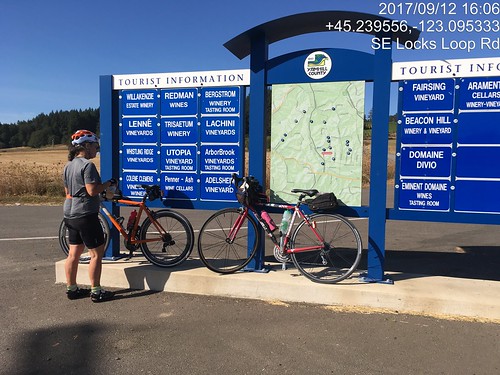
Info control at corner of Ribbon Ridge and North Valley.  Easiest to take a picture.  Susan and the bikes.

Lots of traffic on Kuehne and North Valley (riding on a weekday will do that), until we passed Flett.  The 20 miles from Carlton to the turn east on Geiger seemed rather longer than they should have.

But then we had a tailwind and were coasting along, sometimes doing 18-20, without even trying.  We zigzagged north to Hillsboro (yes, short stretches of headwind) to the final on-course control, with V-8 and a banana.  The temperature was finally dropping, and we got a small snack at the finish (Starbucks).  12:43 elapsed.

Susan: "have you got a way to carry a pumpkin home?"  Uh, no.  She drove it to the house and elected to stay over rather than do the long drive home in the dark.

We did lots of picture control verification.  Yay, Timestamp Camera!

October

Ray, Paul and I rode the Hillsboro-Dallas 200k perm.  Starting at 7am has been problematic, because Fred Meyer doesn't open until 7am, but the "new" Fred Meyer gas station has a c-store, which opens at 5am.  Ray and I watched Paul drive around the parking lot; guess he didn't see us standing out in front.  It was a mite chilly!
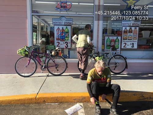
Paul and Ray; Hillsboro-Dallas 200k Dayton control pause.

As it was another weekday ride, the traffic heading south on Spring Hill/North Valley/Ribbon Ridge/Kuehne/Abbey into Lafayette was rather heavier than we are accustomed to seeing.  After Amity, the route heads south on Hwy 99 for 6 miles.  Hwy 99 has been repaved, and the shoulder is wide and smooth.  The traffic was heavy, but that doesn't bother me much, as long as I've got a shoulder to ride on.  Turned onto Bethel Rd, and then south on Perrydale, eventually ending up at the Dallas Safeway.  I had packed lox and bagel for ride food, and had consumed (wolfed down) a couple halves in the way to Dallas, and then proceeded to demolish a sushi tray.
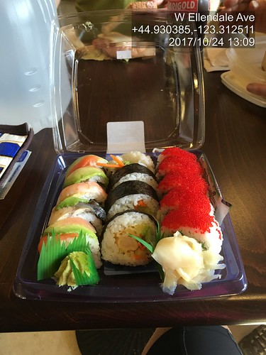
Hillsboro Dallas sushi tray at the turnaround control.  This works.  With Ray and Paul.

We then headed back, into, you guessed it, a headwind.  There's nothing to slow it down out there on Red Prairie.  When we arrived at the corner of Perrydale and Bethel, Ray wanted to check out an alternate to Hwy 99.  I consulted Google Maps to figure out which way to go, as we knew it was there, but were unclear on the specifics.  Aha.  Turn left on Bethel, right on Broadmead, stick with it, and we'll end up in Amity, which was where we were going.  Since it wasn't shorter, off we went.  Less hilly, too.  Bonus.  The headwind was strong; Ray, as always, pulled ahead; Paul and I dropped off.  I found Ray in Amity on a park bench, but went on to the c-store for more beverages.

Still had the headwind, but I kept plugging along north.  Almost to the turn onto Geiger, and Ray came up BEHIND me!  How did that happen?  Here I thought I was chasing him!  Paul appeared, and we finished off the last 13 or so miles to the finish.  It was definitely dark before we finished.  My headlight needed adjusting; I was lighting up the sky :-) That was much harder than it should have been.  Granted, I dnf'd it as a brevet in January, but still.

Various Populaires

I rode the North Plains Banks Vernonia Trail perm pop a few times, once solo.  If I had to restrict myself to one perm pop, that would be the one.  The owner has ridden it 120 times, I am a distant second, with 37 finishes.  The rides were notable for the escaped goats.  Ray and I watched them pour out of a hole in the fence, and they were already on the trail on my solo outing.
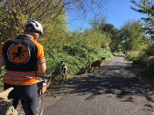
Goats!  (And Ray)

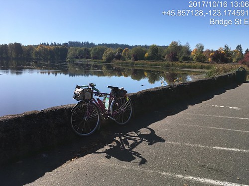
Sweetpea at Vernonia Lake.  Pretty picture as well as photo verification.

Goats on the Banks Vernonia Trail.  Again :-)

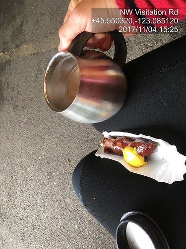
The Annual Verboort Sausage Populaire was earlier this month ("always the first Saturday in November!").  It didn't rain.  I again, completely enjoyed the stretch north of Hwy 26 on Timber Rd.  Twice in a row.  I did not used to like it, and I don't know why.  Quiet road, lots of trees and farms.  Ray and I rode together, although we were in with other riders until the Timber Rd climb, where we went ahead.
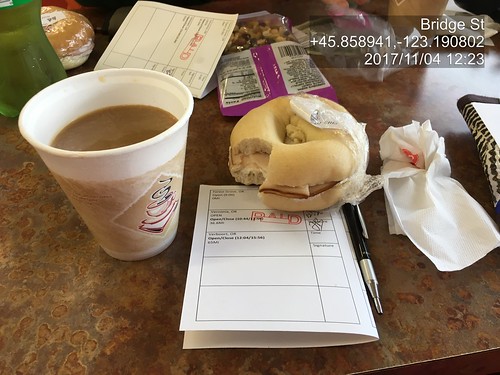
Verboort Populaire turn around control in Vernonia.

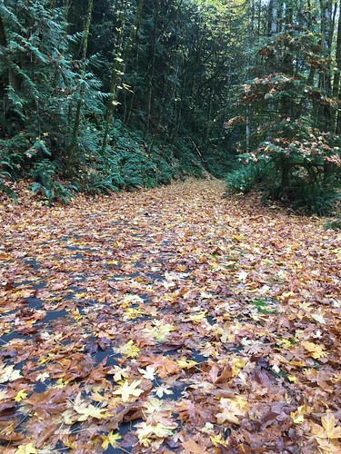
I know there is a trail in there somewhere.  Just south of the Mendenhall trestle at Buxton.

Heading into Wingham Farms on the Banks Vernonia Trail

Coffeeneuring, Verboort Sausage Festival.  No disposable cup!

There was also a Dart Populaire, elaborated on in another posting.


Monday, July 10, 2017

Revisiting the Columbia River Gorge

I can't remember the last time I rode in the Columbia River Gorge.  March 2014, when I finished my own perm out of time?

This month's ORR 200k was the Hollywood-Wind River 200 (this version matches the cue sheet).  I'd ridden it before, back in September 2011, when I was in MUCH more fit.  But as I'd survived Dayton-Beaver, I figured I'd finish in time, if not in style.

Recruited Michal to ride with me; he and Cyndi showed up the night before, in time for dinner.  Given that the ride was starting at 6am, we'd need to get up at 4am, so early bedtime all around.  The plan was for me to drive to the start with them, and Fitz would show up at the finish (McMenamin's Kennedy School) to join us for dinner and take me home.

(There are no pictures, although it was a gorgeous day.  Sorry.)

We all met at Wilshire Park.  I was the only woman riding.  Hmph.  Checked out the park's facilities, but it was too early and they weren't open.  We'd find something suitable along the way.

Off at 6am, headed north to the Columbia River.  We had a brief confusion at the NE33rd/Columbia Blvd overpass (cue was hidden in the discussion rather than on it's own line), but quickly resolved it and found ourselves at the west boundary of the airport.  I suggested we ride on the bike path, rather than Marine Drive, and we did that whenever possible.  Best of course when the path is on the river side of the road :-)

Into Troutdale, with a brief stop at the McD's (not for food :-) ), and out the Historic Columbia River Hwy (US-30).  It is up for about 26 miles, but not oppressively so.  Michal wanted to turn onto Bell Rd, but I hauled him back.  The mist/clouds got very thick at this point, almost to "drizzle".  I knew it wouldn't last long, and hadn't even packed a rain jacket.

Popped out at the top and dropped down to Vista House, our first control.  From there, we had the fun descent down to Latourell Falls, and kept dropping for awhile, eventually arriving at the gentle rollers heading east to Warrendale, then the less gentle rollers to the end of the road (unless one wants to get on I-84) and the start of the new part of the path to Cascade Locks.  I love riding the path, but prefer it in the other direction.

Hefting the bike down the (50+, with landings every 10) stairs was a bit painful, but we got there.

Ruckel Creek was a shadow of its former self, but still pretty.

We paused very briefly to refill bottles at the park in Cascade Locks and headed over the bridge ($1 toll for bicycles now).  The crosswinds were pretty spectacular, but I got a few chances to look down and watch the bridge deck vanish as I rode along.  The fast boys were heading west just as we arrived at SR-14 on the Washington side.

We continued east to Stevenson, for a food stop at the grocery.  Terrible sandwich - too much bread, and the turkey and cheese were completely without flavor.  Ick.  Then again eastward to the turn onto Wind River Rd, passing through Carson after the turn.

Wind River Rd climbs almost 1000 feet in 8+ miles.  The tailwind wasn't really there.  Passed the RBA lurking in Carson on the way up; she said she got a ride in after we had all finished that part of the route.  We saw 4 or 5 riders headed back, including Kevin L.

Now, I have ridden this route twice before, and knew where the info control would be.  By this point, our bike computers were not agreeing with the cue sheet; I used the road mile markers, and started looking for the control after we passed by mile marker 8.  Ah, there it was (zipties on the road sign).  Saw Michal further down the road, but I was too wiped to yell.  I figured he'd see me and come back, and eventually he did.  Talking with Kevin later, he said he couldn't find the info control either.  Ate a little something, and headed back down.

Now, THAT was fun!  We could see the Oregon side of the river, and the road stair-stepping down back to SR-14.  Then we hit the Headwind.

We paused again in Stevenson for more water.  I think I drank a quart just standing there, and ate a few more things.  We'd have that headwind all the way back.  It was weird, though - it would blow really hard, and then not much; probably mitigated by the trees, and the road curves following the river's edge.  I had been worried about time when we got to the Wind River Rd control, but not so much after the return.  And, indeed, the headwind wasn't delaying us nearly as much as I thought it might.  Another brief pause at Beacon Rock (Michal was ahead and waiting for me.  There was definitely some of that today), then onward.

Lots of wildflowers in bloom on both sides of the river - sweetpeas, lupines, batchelors button, foxglove, and many I didn't know the names of.

At mile 91, the last big climb of the day appeared.  We chugged up SR-14.  Michal, of course was ahead.  I may have walked a bit.  The turn was onto Krogstad Rd, which is unsigned, and probably doesn't even rise to the level of "driveway".  Like I said, I have been here before, and knew what I was looking for.  As it turned out, the fence is gone, and the house is repainted, but the road sign on the other side did say "Riverside", and it was a bit past where the climbing lane went away.

So I was there, but no Michal.  Ok, maybe he'd gone on and would be found further along.  Krogstad is very quiet and very shaded, but no less climby :-)  A bit more walking, while eating a Payday bar, more riding, finally at the intersection with Canyon Creek.  No Michal.  At this point, our texts crossed in the mail.  He'd overshot the turn and waited for me after the turn, then came back.  Didn't find me, but found Kevin, who'd stopped in Carson.  So I texted that we'd meet up at the next control (Washougal Mercantile), and continued on.  And finally, downhill.  A slow downhill to start, but then it dropped a bit more.  After a few miles of this, I found myself at the store, and bought an ice cream bar and a Coke.  The staff hadn't seen any other riders since 2:20 (they were well-trained in the signing of the cards by now).  Halfway through the ice cream bar, Michal appeared, and a time after that, Kevin.  We all had a good sit and eat before heading on.

Michal: "what's it like now?  No more climbs?"  Nope.  Downhill to Washougal, rolling westward, a bit of a short pitch at Ellsworth, and that's about it. (He rode this with me the last time.  You'd think he'd remember.)

Washougal River Road was a gentle descent, only needed a bit of pedaling to keep up a good pace.  Drivers would stack up behind us and then pass with little difficulty; only one yeller.  And the motorcycle that almost side-swiped me in Washougal; you'd think they'd know better.

Though Washougal, through Camas.  The new roundabout after Camas onto 6th/Old Evergreen Hwy is a very welcome addition.  Old Evergreen Hwy has terrible pavement, but it does look like some parts have been replaced.  About 12 miles out, we stopped and texted our respective spouses, and then slogged on.  I should have eaten something here.

Eventually we saw the I-205 Bridge high above us and knew the turn onto Ellsworth wouldn't be far.  Up Ellsworth, up onto the bridge (that was easier), and then, once on the bridge, downhill all the way to Oregon.  Other than riding on the bridge is really noisy (bike path is in the middle of all the lanes), way fun.

We then navigated south of the airport, crossed over Lombard and Columbia, wandered the neighborhoods a bit and finished.  Cyndi was out front looking for us, but we didn't see the RBA, so she watched our bikes while we got our cards signed at the desk (and in my case, stamped; all McMenamin places have delightful rubber stamps).

Fitz appeared, and my bike was secured in the car.  Michal, Cyndi, and Kevin also went off to secure bikes.  We got a table and waited for them to come back in.  The RBA came by and got my card.  After Michal and Cyndi came in, she got Michal's card, and also Kevin's (he elected to just go home).

Beverages were ordered, and eventually food.  Cyndi kept trying to get Michal to split something with her, but he thought he could eat an entire meal himself.  Fitz usually also tries to get me to split something, but he knew better than to try that after I had just finished a big ride. :-)

12:47 elapsed time.  I lost 3 lbs, but they mostly returned.  It will be nice when I am more fit and can finish this ride in less time.  Working on it.

Sunday, June 4, 2017

Finding those Covered Bridges

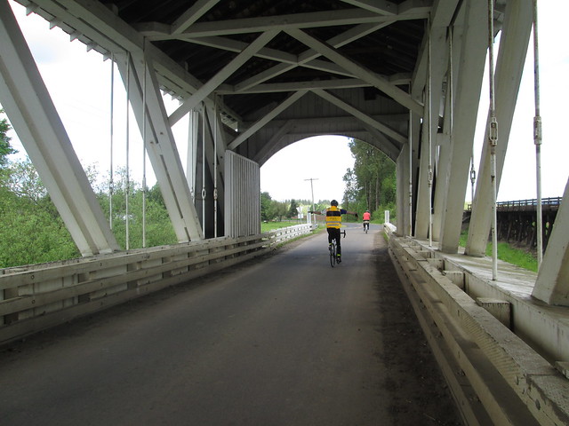
Oregon has quite a few covered bridges, so much so that one of the brevet routes is the Covered Bridges 200k.  There's a corresponding 400k, with a few more bridges (Eden's Gate), but I wasn't going there this year.

So a couple of weeks ago, I found myself with Ray and Kevin L (yay!  he's back riding again!), and some number of other riders, in Wilsonville getting some pre-brevet coffee.  Very civilized start, what with it being in a coffee shop with plumbing and places to sit and coffee and food.

My food strategy included hard-boiled eggs, Fig Newtons, Brookside Dark Chocolate snacks, and rice pudding, along with the usual collection of a couple of bars, gels, and Gatorade-maltodextrin drink mix.  And plain old salt.  I sucked some down halfway through the ride.

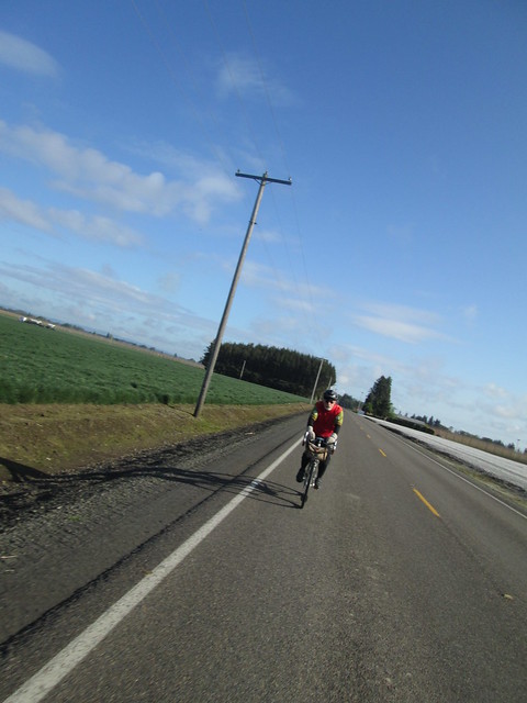
And so, off we went.  After crossing the Willamette River on the Boone (I-5) Bridge, we headed down the west side of the highway, working our way to south to Aurora, then up to Lone Elder and Meridian Road (didn't miss the turn this time), where we'd be for a good long while.

Getting close to Silverton

We quickly found ourselves at the tail end (not unexpected).  We did catch up to the group in front of us, but we stopped to visit the blue room at 91 School, and they didn't.

Ray

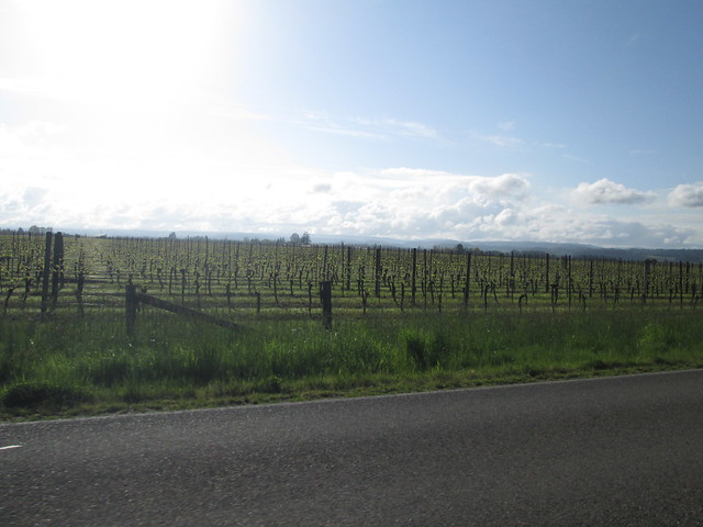
Baby Vineyard

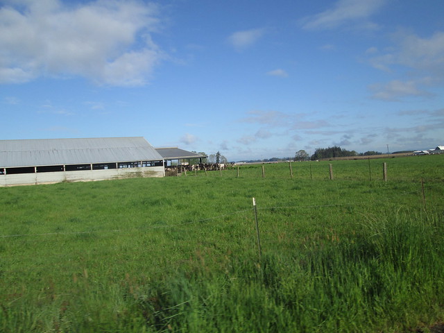
Dairy cows

We had a tailwind heading south.  Eventually we turned off Meridian Road, heading west on Downs Rd to the Gallon House Bridge.

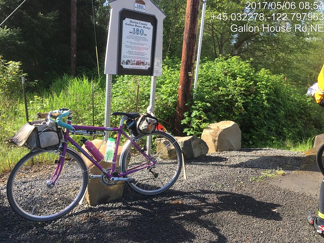
The Gallon House Bridge sign

From there we went into Silverton, and had a minor navigation miscue.  We thought we were headed out on Main Street, except we weren't and the expected climb out of town failed to materialize.  So we backtracked, and headed out to the Cascade Hwy.  How we got confused, I'll never know, because we've all only ridden through Silverton many, many times.

Towns which start with "S"

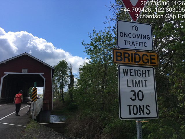
The Cascade Hwy hasn't gotten any more flat.  There's a big climb up to Riches Rd, then it goes up and down until just before Stayton.  We zipped through Stayton, and headed out to Cole School Rd.  Again, roller #2 won.  Sigh.  Excellent descent down Richardson Gap Rd, to bridge number two, the Shimanek Bridge.

The Shimanek Bridge

Then we rode over to Scio, the first timed control.  We found the folks right ahead of us, but they were leaving.  We went over to the grocery and stocked up there.  I also bought and consumed a sandwich.

We now headed for the last two covered bridges - the Hoffman and Gilkey bridges.

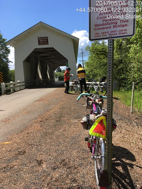
Hoffman Bridge on Hungry Hill Rd

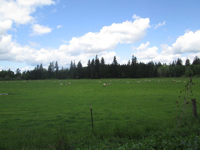
Fluffy Little Sheep

Kevin (no hands) and Ray, Gilkey Bridge

And then we headed north, into the wind.  Lots of rear-wheel-sucking on my part.  The last climb of any substance was approaching, Parrish Gap Rd.  It starts out fairly innocuously, then ramps up.  I came up on Kevin using his two foot gear, and joined in.  He though that would be the top and there wouldn't be any more painful bumps, but I remembered otherwise.  Sure enough :-(

We found Ray hanging out under some trees, and we all stood around for while, and then headed into Turner, and then west to Salem.  Hauled Ray back from a wrong turn.  "I made that same wrong turn last time and got a lot further!"

It did start raining in Salem, but it didn't last long.  We headed for the McDonald's, and all had burgers (ok, Ray's was chicken) and fries, and wolfed them down (how often do you hear the words "wolf down food on a brevet" come out of my mouth?)

36 miles to go, about 4 hours left.  I was a bit tense, so kept up the pace as much as I could.  Somewhere on River Rd, my bike computer speedometer checked out.  I thought to swap the battery in from my cadence pickup, but that didn't work either.  The clock still worked, so I could figure out how I was doing from the distance at each cue and the clock.

To make a short story long, we did finish with 40 minutes to spare.  We were relaxing in the coffee shop when the folks just ahead of us came back in to visit, along with Cyndi (Michal was riding the 400k).

Changed Every Single Battery on the bike computer setup the next day.

Tuesday, April 4, 2017

Birkie 200k Brevet Success!

So, the last 200k was unsuccessful.  Darn.  Try again.

The ORRando Birkie 200k was this past Saturday. This was my very first 200k, back in 2007.  The route has changed slightly - rather than the out and back from Vernonia, the route heads from Forest Grove to Vernonia via Gales Creek/Hwy 6/Timber Rd/Hwy 47, and then continues on Hwy 47 to Hwy 202.  To make up the missing distance, the route continues 7 miles past The Birk (formerly the Birkenfeld Store, now a cafe and music venue with irregular hours) to an info control.  The return is back to Vernonia, then taking the Banks Vernonia Trail to (natch) Banks, and heading south to Forest Grove.

Now that we've got all that straight...

Friday afternoon was spent giving Sweetpea the first bath of the year.  So very dirty, with lots of stuff stuck under the fenders.

Friday night was Rando Slumber Party at the Fitzsimmons Home for Wayward Randonneurs - Lesli, Ruth (who I finally got to meet in person), Michal and Cyndi all showed up, and we had a couple hours of social time before the 9pm bedtime.

Michal was returning a bike which was borrowed for the express purpose of loaning a bike to Bill Walton to ride.  He thought it would be fun to get a picture comparing it to my bike.


Everyone was up at 5.  Breakfast was coffee, eggs, bacon, Rye Molasses muffins, and bread which Michal baked.  He also provided the home-roasted coffee.  The kitchen was slightly over peak capacity, what with riders organizing their food and cooking breakfast :-)

Lesli and Ruth thought I'd be riding with them, but after a reveal of their planned pace... Yeah, no.  I'm not there yet.  Michal was going for time, so he'd be off as well.  But there in the parking lot I found Ray. :-)  We have been known to ride together.

Signed in.  The RBA assured me it wasn't going to rain.  She wanted to get out and do a few hours riding herself, hence the optimism.

(That's me in the pink vest.  Pic by Cyndi Wenks)

And, at 7am, away we went.  We did see Lesli and Ruth, and I almost caught them at the stoplight in Gales Creek, but it turned green, they went, and then red again by the time I got there.  Last I saw of them all day.

Deidre from Vancouver passed me on the climb.  I would have thought she'd be ahead, maybe she got started a bit after everyone else.

The Timber climb was accomplished with no stress.  I wasn't fast, but I didn't care.  The RBA was lurking after the second switchback, we chatted a bit as I slowly pedaled by.  Found Ray at the top (he gets ahead and waits and drinks coffee); we dropped into Timber and up the other side, admiring the two properties which are infested with lively barking Aussies.

Had great fun dropping through the curves to Hwy 26, and Ray and I had the gift of a no-wait crossing.

It had been drizzling off and on.  I was wearing two wool jerseys, a vest, wool knickers, long socks and a wool cap.  I had wool overgloves which never stayed on longer than three miles.  Left the booties in Michal's car.  I did have an "it might rain" jacket and Rainlegs, but never pulled them on.

I can't think of a time I rode the stretch from Hwy 26 to Vernonia as fun.  Usually raining with a headwind, or trying to keep up with the group.  I had fun this day.  Came up on Ray (our riding style is best described as "leapfrog"); he'd decided it really was raining.  Kept on going; he found me just before Vernonia.  We stopped at Black Bear Coffee (another punch for my card!), and found RB, who was riding Ray's perm pop and hanging out.

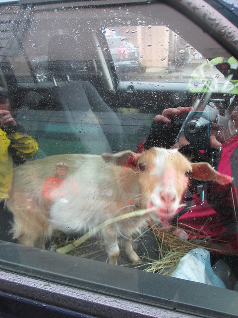
Of great interest in Vernonia was the goat in the truck.  Inside the truck.  On the front seat.

Passenger Goat

After a bottle refill (no guaranteed food/water for the next 100k), some coffee, and a substantial snack, I headed out.  Ray wasn't quite ready.  I had fun riding along here as well.  Ray found me around Mist, and then stopped again.  I got to Birkenfeld and pulled over to eat some rice pudding and a hard boiled egg, and we set out to find the info control.

Ray

By this point, 5 or so riders had passed us heading back.  Once past Birkenfeld, Hwy 202 gets hilly - short, abrupt ups and downs, with many crossings of the Nehalem River.  The first 4 miles went quickly, the last 3, not so much. Found Ray at the control.  Holden arrived just as we were turning back.


If you look close, you'll see Ray up ahead

Nehalem River

Back to Birkenfeld - The Birk wasn't technically open, but Ray's bike was there.  So I went in and the proprietor grabbed my water bottle and filled it (he's nice that way), took care of some other business, and we headed back to Vernonia.

Near Mist

We were supposed to have a tailwind.  Not so much.  So it was rather more of a slog than I had thought it might be, and kept checking my odometer more than necessary.  But we kept at it, and held a reasonably steady pace, and got to Vernonia in good time.  Fine dining at the Shell Station (deviled eggs!) which we took over to Anderson Park, which has restrooms with no line, and running water.


So, now we were in Vernonia, and, as Ray put it, "heck, we are already done".  Well, 30 miles to go, but we know them so very well. Ten miles of easy climb, ten miles of perfect descent, and ten miles of flat surface streets.

We were now on the Banks Vernonia Trail.  Yay.  No drivers, no idiots in pickups either coal-rolling or close passing (with much laying on of horn).  Aside: the only driver I signaled not to pass because I could see oncoming traffic, who started to edge out to pass, then saw the car and dropped back, was a police officer.

So, on the trail.  I could tell I was tired; not ascending at my usual pace.  But it was now sunny, and we had tons of time, and the shared goal of finishing in 12 hours would be nice (Ray's first 200k in 18 months).  We got to Tophill, and I gave it up and walked the last two switchbacks.  It was either that or fall over.  I found Ray at the Stub Stewart road crossing, and we then happily bombed on down.


There was a picture pause for a clump of blooming trilliums, and then, when passing by Wingham Farms (cool, they have a website!  Go visit!), we stopped to talk with Julie (the farmer), who said she really needed a t-shirt that identified her as Romulus and Remus' mother.  Long discussion about their farm.

Julie, one of the farmers at Wingham Farms

Romulus hanging out on the trail

We had gotten to which sheep her neighbor was raising (Texel - a Dutch down breed - meat sheep, but quality fleece), when Holden arrived.  His wife is also into fibers, so the conversation might have gotten a bit fiber-geeky.

So.  Time is slipping by.  Gotta go.  After a brief stop at the trailhead, we headed out for the last 9 miles.  When we got to the turn onto Roy Road, Ray went straight.  Clearly autopiloting back to North Plains.  Holden followed right along :-)  I yelled, they came back.

Ray got ahead at the first traffic circle, and finished just before us.  But our official time was 11:59 elapsed.  Good enough for me.

 
(Ray and I at the finish.  Pic by Cyndi Wenks)

Michal and Cyndi were hanging around, because they were going to drop me back home, but Fitz texted that he was on his way over.  So they stuck around long enough to say hi, and then started their long drive down south.


The RBA wanted to know if she'd see me in 2 weeks for the 300k.  Mmm.  Not this year.  Not ready.  I hurt in places that have never hurt before.  The 200ks will have to be a little more routine before I make the distance jump.

Fitz and I got dinner there, poked our head back in to say goodbye to the RBA (there had been still one rider out; he finished while we were eating), and headed home ourselves.

What went well:

  • I never put on the rain jacket.  It just wasn't raining hard enough, and, midafternoon, cleared off for good.  I think my shoes are waterproof for persistent mist/drizzle.
  • I kept up on the food.  This trip the food offerings brought along were: 2 packets of Gatorade/maltodextrin (and one in the bottle), hard boiled eggs, two containers of rice pudding, two Rye Molasses muffins with butter, random Kind bars, a Payday bar, and some other little things (gels and chocolate) which I didn't break into.  Ate all the things I listed specifically, but for one muffin.  Plus a deviled egg (two halves) in Vernonia on the return.  Convinced Ray he wanted the other two.

Wednesday, September 16, 2015

Remind Me Next Time...

The Oregon Randonneurs Wine Country 200k was this past weekend.  Usually, September weather here is perfect for riding - not hot, not cold, and not wet.  We've had an exceptionally hot summer, but temperatures had finally moderated, and we even had bits of rain.  Until the day of the 200k.

This route was last run on November 26, 2005.  I was riding the populaire version of what was to be my first RUSA ride ever.  Result: "Lynne Fitzsimmons & Jason Penney - Medical DNF , tandem, crash near Forest Grove".  It was below freezing; there was ice on a bridge, which was off-route, but we didn't realize that, nor did several other riders.  We also thought it was weird that we all had to wait and start together.  (I have been doing this for 10 years?  Who'd have thought?)

Fast forward to now.  It was going to hit 90 degrees; the route was through the valleys, precious little shade.  No services whatsoever between McMinnville and Dayton, about 45 miles.  I planned to tank up in McMinnville.

Michal was riding with me; it would be his first long ride since his successful PBP finish.

So there we were in Forest Grove, faffing around and then departing at 7am.  Turned out Michal's GPS was forlornly abandoned back at my house.  No worries - although parts of this route were new to me, I had no worries about bonus distance.

Our first control was at the bridge right after the turn onto Stringtown Rd.  Clearly, it was going to be a day of colorful ziptie controls. :-)

Michal had a flat somewhere along here (or maybe later on North Valley?  Laughlin?).  I used the time to pull on my sunskins and apply sunscreen on my face.  I may have helped a bit after that.  Disk brakes maybe make it a bit tricky to reinstall the wheel.

early miles, Dilley Rd

Cornfields.  Headed out to Cherry Grove

Then off to Cherry Grove, which is at the end of a road, pretty much nowhere, unless you are a fan of gravel and logging roads.  There we met up with three cheerful young guys, but we didn't get around to exchanging names.

Once we got back to Old Hwy 47, it was familiar riding all the way to Carlton.  Carlton was a choice of info control or open control; I thought pastry and coffee at the Carlton Bakery sounded much better than a couple of zipties.  The Carlton Crush was in full swing, with more traffic in Carlton than I had seen, ever.  A woman from Willamette Valley Vineyards was in the bakery at the same time, and I complimented their wine.  A few minutes later she gave us a free wine tasting card (!)

It was starting to warm up.  From here we proceeded south, to the brevet/populaire route split at Gun Club Rd.  We then ended up on the Westside Highway, which is a narrow and high traffic road.  I was a little apprehensive, but it wasn't too bad, especially once we entered the McMinnville city limits.

I had scoped out possible open control/food stops, and the Harvest Fresh Grocery and Deli looked pretty good.  Indeed they were, although a little bit too organic to be carrying V-8.  On that matter, I have been carrying a little bottle of salt, and drinking down a half teaspoon or so as needed.  While it grosses out the riding partners, if you drink it down quickly enough, it isn't that bad.  This is in addition to drinking EFS or Skratch.  I seem to need a LOT of salt.  (Hence my non-fondness for riding in really hot weather.)

We saw the three happy guys ride by while we were in there; that was our last sighting.

Now into the lumpy part of the route, Masonville and Muddy Valley Roads.  These are featured in the middle loop of the Grab Bag 300.  Again, today, it was wonderfully sunny, no freaking out in the gloom and wet.  But yes, definitely getting hot.  Much drinking.

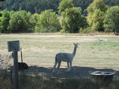
We did pause for pictures at Pucara Alpacas, because they are so darn cute.

Baby alpaca, not looking at me

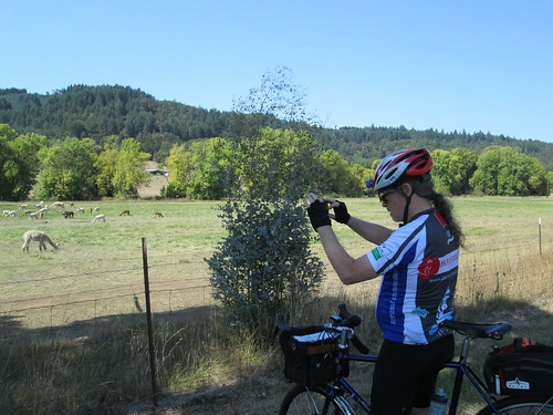
Michal must also get a picture of the alpacas

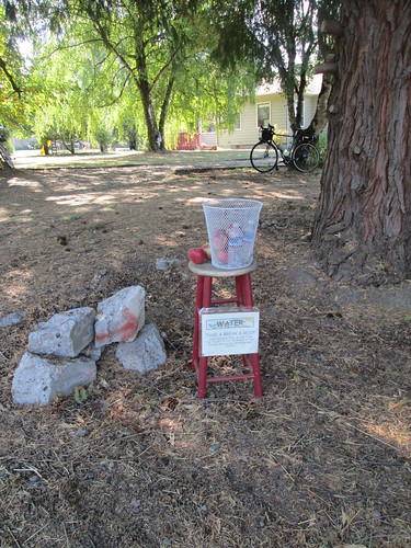
A few more hills later, and, just before crossing Hwy 18, we passed a house with a basket of water bottles, some apples, and a sign inviting us to fill our bottles with their cold and tasty well water.  We didn't need to be invited twice.  That saved us.

This saved us

Now across Hwy 18, working our way south and east.  The wind had been mostly indeterminate, but now decided to be somewhat of a noticeable headwind.  A hot headwind, but not quite the blast furnace effect of the June 200k.  We saw a boy riding his bike all over Bethel Rd, with his helmet unbuckled and no apparent adherence to the Rules of the Road.  Must be a very safe place to ride.

The heat was starting to get to me.  We stopped for a cooling-down pause (with salt and a gel and a banana) just before crossing Hwy 99W.

The traffic on Perrydale/Bethel Rd was somewhat (much!) heavier than normal; traffic was diverted off Hwy 99 for construction.  The flaggers let us cross over Hwy 99, and we started winding up to the top of Zena Rd (one pause to recompose).  From there, we'd finally turn north onto Spring Valley Rd.  Sadly, Spring Valley didn't drop to the valley floor; lots of ups and downs.  I wasn't burning any matches, just keeping up a steady effort.  Still, there needed to be another sit, salt and gel stop.  This could be a long afternoon.  Me to Michal: "don't let me do this again."  Michal: "I will remind you that you told me to tell you that."

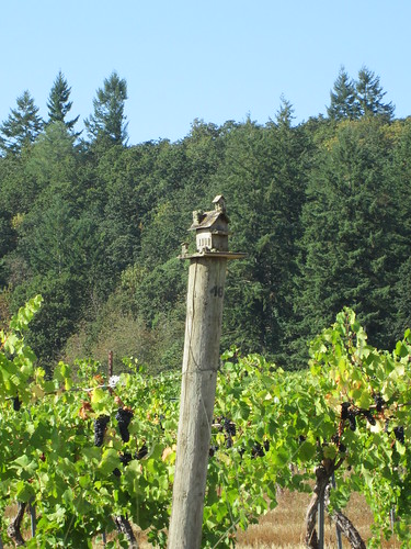
Little house on a vineyard post

Arrived at Hopewell Rd, where I was under the misunderstanding that it flattened out.  Not so much, but when we FINALLY arrived at Webfoot Rd... whew.  All the traffic was now somewhere else, and Webfoot is pretty flat.  Lots of farms and vineyards.  But still extraordinarily hot.  I spotted a man outside his house, pulled over, and asked if he would spare some water.  Very kind man, he filled our bottles.  I think I drank half of a bottle right there.

Dayton and the Center Market were getting closer...  Ahh.  V-8, Red Bull and Gatorade.  When we arrived, we had 3 1/2 hours to ride the last 27 miles.  I needed a pause on the sidewalk.  The clerk allowed as how they really ought to put in some benches.  When I think of all the times I have sat on the sidewalk outside that store, I can't disagree.

Heading north past Lafayette we enjoyed several stretches of pristine new asphalt, and found, turning from Abbey Rd to Kuehne Rd... there was a BIKE LANE!  A welcome improvement in what used to be a slightly sketchy right turn/merge.

We were moving along reasonably well until Ribbon Ridge, where a driver felt it was necessary to emphatically inform us that riding two abreast is illegal.  Well it isn't, especially when there is visibility ahead for a long distance, absolutely no traffic but for us and him, and in a legal passing zone.  After the experience with Mr. Motorcycle awhile back, I can only conclude that citizens of Yamhill County would benefit from reviewing the ENTIRE text of ORS 814.340.  Especially subsection (e).  Also ORS 814.400 (3) 

The headwind really picked up here, which, if it continued, would make finishing in time somewhat of a challenge.  Fortunately, it quickly dropped off once we turned into the valley.

After that turn onto North Valley, it was 6:30, when we planned to pull on the reflective gear. Because we stopped, I got wobbly again, and had to stop, sit, and eat more salt and gel.  And a banana.

Heading north, as I mentioned, the wind abated, and finally seemed to die down, or perhaps become slightly helpful.  The temperature also started dropping.  One more brief, preemptive salt and gel stop, and, about a mile or so out, a stop to pump up Michal's rear tire.

Finished at 8:10pm; 13:10 elapsed.

The three happy guys finished about an hour before us; the RBA commented that they looked very fresh, unlike everyone else :-)

With any luck, the weather has turned slightly cooler.

Aside: Many times I mention that our routes here pass by locations from the alternate history Emberverse series.  This route in particular went by many "significant" locations.  I could figure out a lot of the spots, just based on the description, but a few eluded me.  Then I found this map.  Cool!