Showing posts with label permanent. Show all posts

Sunday, March 31, 2019

Perm Pop in Tucson

Being as we were going to be in Tucson for a week, I started looking around for a RUSA perm to ride.  Michal’s excellent map provided a list of perm pops (typically just over 100k, about all I’m up to at this time), and John Lee’s #3752 Rillito - Pantano - Saguaro Sashay showed only 1600 vertical feet and a lot of separated bike path.  And a National Park (gotta exercise that Senior National Park Pass sometime).

Excellent.  An exchange of email, including a scan of the required signed release and a general range of days I might choose to ride during (LOVE the new “slippery perm start time” rules, I DO.  Especially during vacation, when one isn’t all that super detailed about daily plans.)

We drove down to Tucson from Portland, so I did’t have to disassemble and pack a bike; brought the Lemond Zurich, with the Specialized Power Mimic saddle I am trying out.

So, after a careful study of the weather (there’s altitude and heat here, which I am not really accustomed to), picked the least hot day.  The plan was that I’d start around 9am; Fitz would drop me off at the start and play a nearby round of golf, as these activities consume about the same amount of time.

Got to the Jack in the Box, unloaded the bike, said goodbye and had my traditional pre-ride orange juice, breakfast being consumed previously.


Started out, and quickly realized that I didn’t need to navigate the first 2 miles, because all the cyclists were headed to the Loop, just like me.  The outgoing leg of the first out and back (after a bit of off-course, caused by turning immediately left onto the first bridge I saw, rather than the one just a bit up on the right) flew right along.  It is spring, and Tucson is blooming.  Passed a couple of parks with restrooms to remember for the return.

Got to the turnaround, snapped a picture of the info control and headed back.  Wait.  There’s a headwind.  Not supposed to have a headwind.  It wasn’t that bad, but it was more fun zipping along at 18-19mph.

I was using RWGPS to direct me along.  It seemed a bit confused after the turn until a good mile past where I had gotten on the Loop at the Mountain Ave Bridge.  I was “off course”, which it claimed was 8.6 ft to the right.  Or, in the Rillito River Wash.  Go figure.  Anyway, as I was to be on the Loop for awhile, it didn’t much matter.

The Tanque Verde crossing was interesting, in that I had to cloverleaf up to the road, cross the wash, and continue on the other side, to transition to the Pantano River Path.  A bit drier out this way, and some super trippy trail decorations - painted rocks around plants, glittery stuff, and so on.

The Loop is essentially a 2 lane road, but for non-motorized transport.  Nice 2 lane road.  It was fabulous to ride on.

Leaving the Loop at mile 27.7 to get onto Golf Links Rd, heading out to Saguaro National Park.  If you are looking for services of the food variety (you’ll find restrooms and water along the Loop at several points; not marked, but you’ll see them off to the side), Golf Links Rd is where you’ll find it.  There’s a shiny new Circle K on the right, and various fast food options on either side; you’ll be returning this way, and there’s another Circle K at Harrison and Golf Links.  That’s about all there is to recommend about Golf Links, but it does get you where you are needing to go.  After a brief stretch on Houghton, you turn onto Old Spanish Trail, which has considerably less traffic and pristine pavement.

And then, not quite 3 miles along, you’ll come to the Saguaro National Park entrance.  There are restrooms, a bottle filling station, and a nice covered area with more water, if you want to pause to reapply sunscreen, refill your bottles, and eat your banana.

If you’ve not got a National Park pass, there is a fee to enter.  The ranger said “you know the drill” (MANY MANY CYCLISTS HERE), and I said “nope”, and she immediately warned me about the first descent, which is super steep and has a hard right at the bottom.  It comes right up, too.  I really  appreciated that warning.

So, the Cactus Forest Loop (the road in the park) is ranked one of the top 15 National Forest roads for a bike ride.  As it was still early enough in the spring, everything was green and flowering.  The number of saguaro cacti was staggering.  Apparently they grow here in greater numbers than anywhere else.  Wish I’d had a proper camera.  I took pictures, but they don’t really capture it.


The route is one-way until the Tanque Verde trailhead access (also signed “Picnic Area”), so you can enjoy the first 3.4 miles of delightful roller coaster riding without worrying about oncoming vehicles.  The speed limit is 15mph, so the chances of unpleasant vehicle interaction are greatly reduced.  I was there on a weekday; it might be more crowded on a weekend.  Lots of pull outs if you want to take pictures.

After the first info control at Loma Verde, the road does start a reasonably steady climb with not as many bits of downhill.  Not depressingly steep, though.  Be sure to keep pushing the water and electrolytes.


After the Tanque Verde info control, it is downhill for miles.  Old Spanish Trail rolls a bit, but then Golf Links Rd rewards you with a downhill all the way to the Loop.  The turn to get back on the Loop is a left at Pantano Parkway.  I kind of spaced there, so did a Copenhagen Left at the crosswalk after the turn.


Then it is just 13 miles back on the path/Mountain Ave/Ft Lowell Rd.  You can cut into the parking lot at the Sketchers and get back to the Jack in the Box (if that is where you are choosing to finish) without having to go all the way to Campbell Ave.

It is a delightful ride, and I’d recommend it if you are planning to be in Tucson.

Saturday, February 17, 2018

Electronic Proof of Passage; What Works for Me

Randonneurs USA has provided for Electronic Proof of Passage, acceptable forms to be agreed upon by the rider and the permanent owner.

The following works for me:

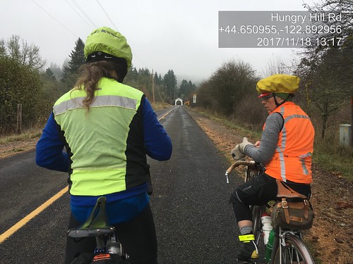
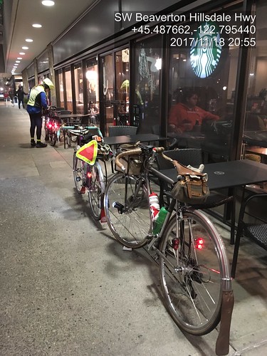
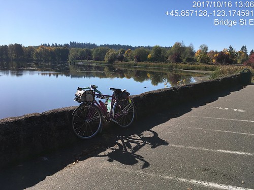
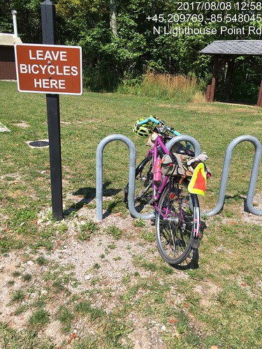
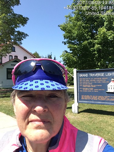
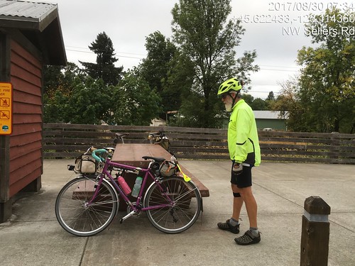
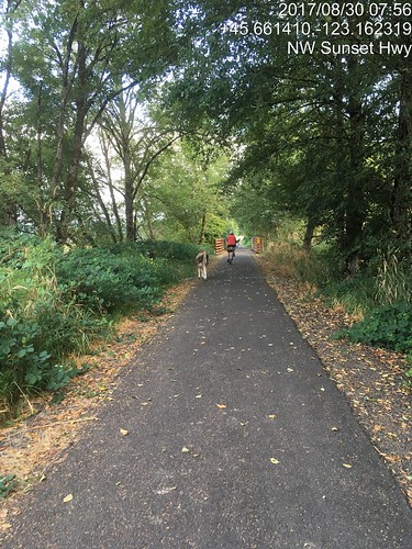
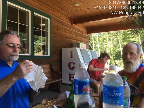
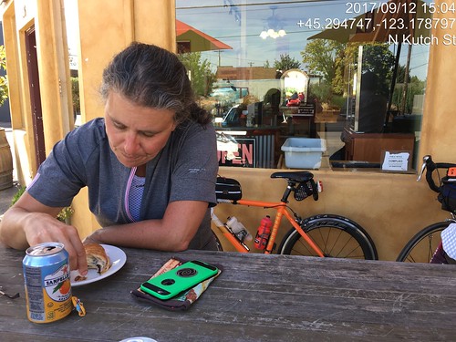
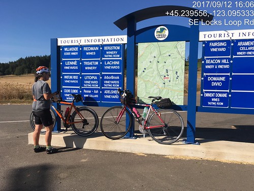
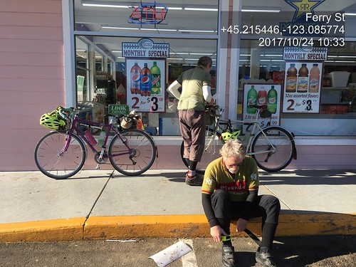
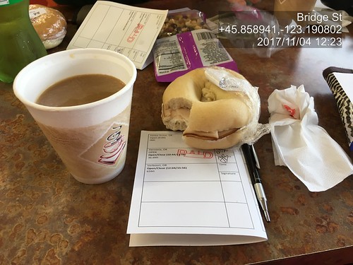
I am a total fan of Timestamp Camera, a free phone app which imprints the timestamp AND location on the picture as it is being taken.  It even has a cool feature to superimpose a translucent overlay of the MAP with location dot in the upper right corner.

As the pictures are timestamped, I will also accept them for timed controls.  You and/or your bike need to be in the picture (SR-600 type of documentation), and the picture should be of something which is clearly the control location.

Like so:

Michal and Lesli, approaching the Hoffmann Bridge

Finish at the Fred Meyer Starbucks in Beaverton

(before I discovered the text formatting options, but it is an unambiguous pic of the control!)

Sweetpea at Vernonia Lake.  Pretty picture as well as photo verification.

Settings changes for best readability:
Position - select "One line to the edge" and "Time in below"
Format - yyyy/mm/dd, lat/long, City/State; optionally select Display Map
Font - default?  I  use ArialMT
Input - if you wanted, you could put your name and route name/number.
Opacity - move the background opacity to about 1/3 of the slider.

For total fancyness, in the menu (upper row of icons), if appears that you can set it up to send email to someone as each pic is taken.  It creates the email, but you still need to tap Send.  Still Very  Cool.

Monday, November 20, 2017

I Am Never Going to Catch Up - Rides since August

Sigh.  Not Keeping Up Here.  So you'll get a summary.

August

We were in Michigan in August, and I took cards and cue sheets for my 3 routes up there, as well as a registration form :-)  I now have left them in my storage box.  I decided to ride the 218km route to the Grand Traverse Lighthouse and back.  Getting there was uneventful; big lunch in Leland, pavement from heaven.

Lunch in Leland, MI.  Grand Traverse Lighthouse 218km perm.

Grand Traverse Lighthouse control documentation.

Grand Traverse Lighthouse turnaround.  Evidence of participation.

The day got hot.  The headwinds from the south were evil.  The hills were killer - not very high, but with the wind whipping in on the bare crests...  Ow.  My feet are telling me to not ever do a 200k wearing my Keen sandals ever again.  Long conversations with myself the last 40 miles.  I officially finished at the Blarney Castle gas station c-store, then met Fitz at Stormcloud.  Except they were having an employee thing, so we relocated to Dinghy's and had the Fred Flintstone plate.  They don't call it that, but the ribs are big.

Also August

Ray rounded up Paul and me to ride the Banks-Elsie 200k.  The weather was excellent, as was the company.

Paul, Banks-Elsie

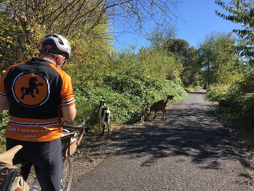
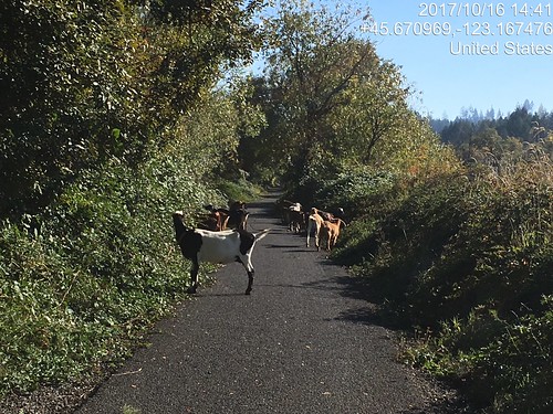
Stray goat, Banks Vernonia Trail.

The outgoing leg on the Banks Vernonia trail was notable for one of the Wingham Farms cows standing right in the middle of the trail.  We edged by.  This being a weekday, it seemed that every log truck in the universe was out on 47/202/103.  They all passed politely and professionally; I waved a lot.  I like to acknowledge courtesy.  Still, the thought of riding BACK with log trucks was a bit intimidating; tight curves at the western end of the route.  The Elk Refuge bathrooms have been reconstructed and are quite nice.  The one I used had a big wooden bench, possibly suitable for taking a nap on, should one's fleche route go by here in the middle of the night.  No elk, but they are rarely there in the middle of the day.  We got lunch at the turnaround in Elsie; sat outside on their covered porch entry.

Ray and Paul (and unidentified person) enjoying lunch at the Elsie turnaround

So, time to ride back.  Hey, no log trucks!  Paul: "they've been out here since 3 in the morning; they've all gone home."  And a tailwind of sorts.  We paused at The Birk just because; the owner (Mike) invited us in to refill our bottles and use the facilities.  He's got some massive Bull Mastiffs.  Fortunately, they were off duty and quite friendly.

Nine miles back to Vernonia, with shade and a real tailwind after we turned south.  I love that shade.  Paul and Ray were counting the number of times we crossed the Nehalem River.  They came out with 24 in all.  I kept losing count.  I had some ice cream at the gas station c-store.  Now only 20 miles on the trail; easy peasy.  It was thinking about dusk, but not really, when we finished.

September

Susan wanted to know if I would want to ride my Beaverton-Hagg Lake-Carlton 200k with her.  I knew EPP (electronic proof of passage) had been approved by the RUSA Board, because this route has a large number of info controls, and she's not fond of them :-)

There was going to be a NW wind, which would make parts of the return a bit challenging.  I chose to ride the Lemond (the fast bike).

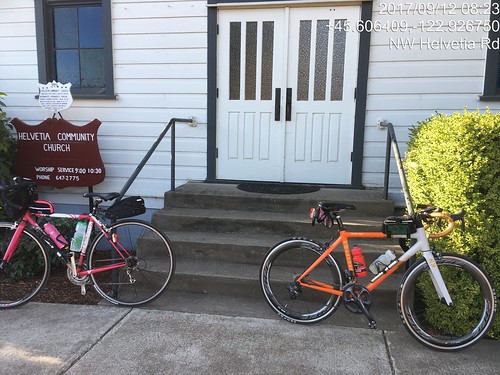
Historic Helvetia Church

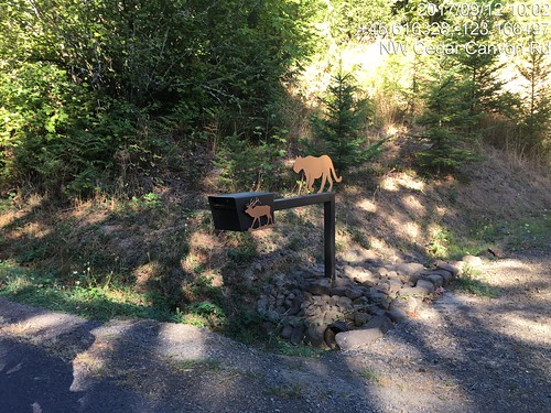
That's a pretty mailbox.  Cedar Canyon Rd, Beaverton - Hagg Lake - Carlton perm.

Really nice in the morning, all the way to Forest Grove.  Lovely new pavements.  We stopped at the c-store for expediency.  I may have also had a salt pause.  Old Hwy 47 to the Lake Store, formerly a mass of potholes and cracks has been repaved.

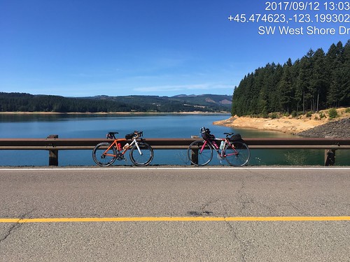
Circumnavigation of Hagg Lake - website said the lane was "restricted".  At the lake, it was "closed". We rode as far as the info control, then back to the intersection w/West Shore Drive by the dam.  and rode an out and back on the dam to find the missing .4 miles.

Lynne and Susan's bikes at the Hagg Lake dam, verification of distance makeup.

As it was getting hot, we stopped at the Lake Store again for more water; I also inhaled a V-8.  The wind might have been helpful on the way to Carlton, but it was hard to tell.  We did the Carlton control at the bakery, where I had an EXCELLENT lemon tart and a citrus soda of some variety.  It was really hot by now. 

Susan at the Carlton Control, Beaverton - Hagg Lake - Carlton perm.  Hot day.

There was nice shade on Hendricks, another salt pause, and then we turned north into the wind.

Info control at corner of Ribbon Ridge and North Valley.  Easiest to take a picture.  Susan and the bikes.

Lots of traffic on Kuehne and North Valley (riding on a weekday will do that), until we passed Flett.  The 20 miles from Carlton to the turn east on Geiger seemed rather longer than they should have.

But then we had a tailwind and were coasting along, sometimes doing 18-20, without even trying.  We zigzagged north to Hillsboro (yes, short stretches of headwind) to the final on-course control, with V-8 and a banana.  The temperature was finally dropping, and we got a small snack at the finish (Starbucks).  12:43 elapsed.

Susan: "have you got a way to carry a pumpkin home?"  Uh, no.  She drove it to the house and elected to stay over rather than do the long drive home in the dark.

We did lots of picture control verification.  Yay, Timestamp Camera!

October

Ray, Paul and I rode the Hillsboro-Dallas 200k perm.  Starting at 7am has been problematic, because Fred Meyer doesn't open until 7am, but the "new" Fred Meyer gas station has a c-store, which opens at 5am.  Ray and I watched Paul drive around the parking lot; guess he didn't see us standing out in front.  It was a mite chilly!

Paul and Ray; Hillsboro-Dallas 200k Dayton control pause.

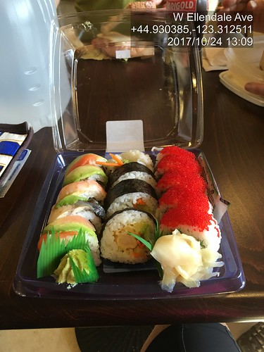
As it was another weekday ride, the traffic heading south on Spring Hill/North Valley/Ribbon Ridge/Kuehne/Abbey into Lafayette was rather heavier than we are accustomed to seeing.  After Amity, the route heads south on Hwy 99 for 6 miles.  Hwy 99 has been repaved, and the shoulder is wide and smooth.  The traffic was heavy, but that doesn't bother me much, as long as I've got a shoulder to ride on.  Turned onto Bethel Rd, and then south on Perrydale, eventually ending up at the Dallas Safeway.  I had packed lox and bagel for ride food, and had consumed (wolfed down) a couple halves in the way to Dallas, and then proceeded to demolish a sushi tray.

Hillsboro Dallas sushi tray at the turnaround control.  This works.  With Ray and Paul.

We then headed back, into, you guessed it, a headwind.  There's nothing to slow it down out there on Red Prairie.  When we arrived at the corner of Perrydale and Bethel, Ray wanted to check out an alternate to Hwy 99.  I consulted Google Maps to figure out which way to go, as we knew it was there, but were unclear on the specifics.  Aha.  Turn left on Bethel, right on Broadmead, stick with it, and we'll end up in Amity, which was where we were going.  Since it wasn't shorter, off we went.  Less hilly, too.  Bonus.  The headwind was strong; Ray, as always, pulled ahead; Paul and I dropped off.  I found Ray in Amity on a park bench, but went on to the c-store for more beverages.

Still had the headwind, but I kept plugging along north.  Almost to the turn onto Geiger, and Ray came up BEHIND me!  How did that happen?  Here I thought I was chasing him!  Paul appeared, and we finished off the last 13 or so miles to the finish.  It was definitely dark before we finished.  My headlight needed adjusting; I was lighting up the sky :-) That was much harder than it should have been.  Granted, I dnf'd it as a brevet in January, but still.

Various Populaires

I rode the North Plains Banks Vernonia Trail perm pop a few times, once solo.  If I had to restrict myself to one perm pop, that would be the one.  The owner has ridden it 120 times, I am a distant second, with 37 finishes.  The rides were notable for the escaped goats.  Ray and I watched them pour out of a hole in the fence, and they were already on the trail on my solo outing.

Goats!  (And Ray)

Sweetpea at Vernonia Lake.  Pretty picture as well as photo verification.

Goats on the Banks Vernonia Trail.  Again :-)

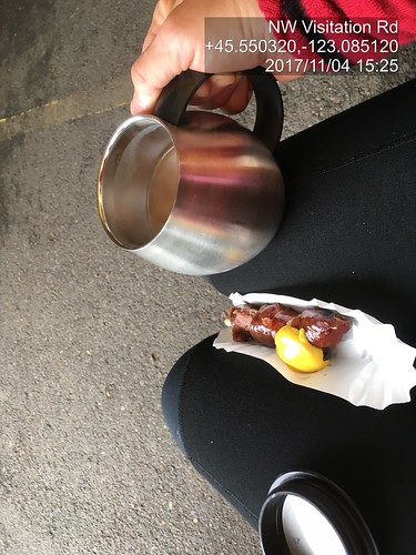
The Annual Verboort Sausage Populaire was earlier this month ("always the first Saturday in November!").  It didn't rain.  I again, completely enjoyed the stretch north of Hwy 26 on Timber Rd.  Twice in a row.  I did not used to like it, and I don't know why.  Quiet road, lots of trees and farms.  Ray and I rode together, although we were in with other riders until the Timber Rd climb, where we went ahead.

Verboort Populaire turn around control in Vernonia.

I know there is a trail in there somewhere.  Just south of the Mendenhall trestle at Buxton.

Heading into Wingham Farms on the Banks Vernonia Trail

Coffeeneuring, Verboort Sausage Festival.  No disposable cup!

There was also a Dart Populaire, elaborated on in another posting.


Tuesday, June 6, 2017

A Challenging 200k

It didn't look good in Willamina.  I was on the verge of bonking.  It would be an 80+ mile drive for someone to retrieve me, and I didn't want that to happen either.  But we are getting ahead of ourselves.

Ray proposed his Dayton-Beaver 210k permanent.  I was pretty sure my engine wasn't yet rated for the initial climb, but he thought I'd make it.  Susan and Keith also joined in.

While preparing the food (Fig Newtons, furikake hard-boiled eggs, rice pudding, Kind bars, some gels, Brookside chocolate-fruit gel thingies, chocolate bars), I came to the realization that my massive jug of Carbo-Pro maltodextrin was empty.  I went to two local bike shops and came up empty.  Then I remembered!  The homebrew place out west in Hillsboro has maltodextrin!  Drove out there, and learned that most of the maltodextrin they sell is to folks like me :-)  Really good value, too.  Might go back and buy a 10 pound bag.

It wasn't supposed to rain, but the "mist" was pretty darn persistent on the drive out to Dayton (like Newberg, only 10 miles further along...).  I had my "it might raincoat" along.  Susan had a windbreaker.  Keith, in his recumbent, had a fairing and sock.  I don't think Ray had a rain jacket.  Fortunately, that was it; no more rain the rest of the day.

We met up at the parking lot across from the high school, and rode into the center of town, to take advantage of the public facilities and covered area for the pre-ride rituals.

Susan and I had ridden the earlier version of this route, in reverse, in pouring rain, 6 years ago.  I had never climbed up from the Carlton side, and, honestly, wasn't sure I ever wanted to.  But here I was.

The first 10 miles were reasonably flat as we rode to, and through Carlton, out Meadowlake Rd, which becomes the Nestucca Access Rd, and then the Nestucca River Rd.  The road wandered around through the foothills, where there were farms, then more trees, and at about mile 14, we started the Real Climb.  It was pretty.  I got to admire some parts of it at greater length, because there was some walking.  The other three riders would regroup and wait for me, or sometimes ride along.  Eventually I found them at the reservoir, which is the first summit.  All the clothing I took off was restored.  The climb summits at 1999 feet, drops about 200 feet, then regains it over a short distance.

Then we had a beautiful, gorgeous descent along the Nestucca River, which went on seemingly forever (really, 35 miles), eventually dropping through the Siuslaw National Forest to Blaine, and then Beaver.  There was a couple miles of gravel, but it was well-packed, and not an issue.  Once I popped out of the forest near Blaine, I could every so often see the others up ahead, but didn't catch them until the control at Beaver.

I had finished both my bottles, so dealt with refilling them (one Gatorade-maltodextrin, the other plain water), and bought a couple of Payday bars, for variety.  I'd been munching pretty steadily on the other food in my bag all along.

We then headed south on Hwy 101 to Hebo, where we'd turn back inland on Hwy 22.  Not that we were on the Pacific Ocean; that was still a few miles further west.  Hwy 22 climbs up to Sourgrass Summit, possibly the lowest (679 feet) pass over the Coast Range.  By now we had a tailwind, it was sunny, with lots of shade, and the climb was very gentle.  Easiest 15 mile climb ever.

From there we enjoyed the descent to Grande Ronde, passing through, but not stopping.  While we were riding on Hwy 18/22, a couple of riders went by, one with a very small backpack and a teeny bit of luggage on his bike, the other with possibly less stuff.  I didn't get a chance to chat with them, but the others did - they were participating in the Trans-Am Bike Race, which had started in Astoria.  Obviously on a mission.

We, on the other hand, as soon as we crossed the bridge by Fort Hill, turned off the road onto a dirt path, and continued on Yamhill River Road, which is ever so much nicer and quieter than Hwy 18/22.

Shortly thereafter,we were in Willamina (I could almost hear Susan thinking: "I could turn left here and be home in 3 miles!"), at the shiny new gas station/c-store.  I had sucked down a mouthful of straight salt a little while back, but it didn't seem to be taking effect.  Took a couple of ibuprofen.  I then wandered aimlessly around the store, picking up a Coke, a banana, and some jojos.  Susan said she had an antacid, because there didn't seem to be any for sale.  So I sat there and shook, ate the banana, sipped the Coke ("ah", said Susan. "You've got the red ambulance!"), and contemplated my options.  Tried a jojo and decided they weren't a good choice at this point.  I think Ray ate them all :-) Asked Ray to get my wind vest for me (no, it wasn't cold.  I knew very well what was happening.)  Took off my shoes.

And then, miraculously, I suddenly felt much better.   I need to remember this combination of potions.

We then headed east, but not to Amity.  There was a tailwind, even.  Rather than taking the traditional route to Amity, and then a short 9 miles to Dayton, Ray routed us down to Perrydale (shades of the Hillsboro Dallas perm), and across the valley to Zena Rd.  I had a brief moment of shock in Perrydale, when I noticed that the old fire engine was gone and its structure torn down.  Darn.

The pollen count was pretty high.  I was enjoying the scent of wheat and grass.  Susan, not so much.  She was sneezing her head off.

Last climb coming up.  I had bad memories of this particular climb on a very hot day a few years ago.  A bit more walking, then a fabulous descent to the Lincoln Store.  Keith was there when we arrived; he said the store closed just as he rode up.  We figured we all had enough for the last 14 miles.  I ate my last rice pudding, and we headed out.  Three more rollers before Hopewell Road flattened out, and then we were on Webfoot Road, the last stretch.  Parts of it seemed longer than they should have, but I finally crested the only big dip, and the Center Market in Dayton was right up the other side.

As we were now FINISHED, we bought unsuitable snacks (big ice cream bar for me), loafed on the front stoop, and finished filling out our cards. 210km, and under 13 hours.

Wednesday, May 3, 2017

Where'd that Nice Weather Come From?

We've had an exceptionally wet winter/spring so far.  As the joke goes "it has only rained twice - once for 45 days, and then for 35 days".  Riding has not been happening.  It isn't so much the RAIN, but the accompanying floods and thunderstorms.

Ray was casting about for company on his North Plains - Carlton perm pop.  I haven't ridden it since Halloween, 2015.  Time to get back out there.  Kevin L, who has not been riding much for the last couple years, but was a consistent ride companion before that, also joined us.  Excellent!

Epic Ride Weather's Prediction for the Day
We had the standard meet-up (note: niece A, who will, in a few weeks move from being Ensign A to Lt Dr A informed me that the proper term is "rally point") at the North Plains Mc Donalds.  As always, I get in line behind someone who doesn't know what they want, have never been to a Mc Donalds, and the guy (who is nice, but) running the cash register is super chatty.

Pre-ride faffing, signing of the release, discussion about team formation for a Will Rando dart pop (or maybe it is a Dart.  Route planning for the dart pop would be easier), and eventually we were off.

Headed down Vadis Rd, Kevin was explaining why he was on his plastic bike and not his Rawland: "it is in between saddles".  I asked him how many bikes he had.  After much mental calculations... "Do I really have 13 bikes???".  Heck, he could have borrowed a saddle from one of the others!  Another person to mention when the spouse thinks my bike collection is excessive.  Actually, he can't now, because he's got just as many as I do.

I had started out the day with arm and knee warmers.  Ray and Kevin had on jackets and baselayers.

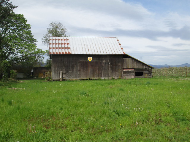
Heading down to Verboort on Evers Rd, we found two recent additions to the Washington County Quilt Barn Trail.  If RUSA ever allows photographic proof of passage, I might make up a perm pop which visits many of them.  Although I could come up with some lame info control questions, I suspect most will go for the picture proof route.

Quilt block on NW Osterman

Quilt Block on NW Osterman

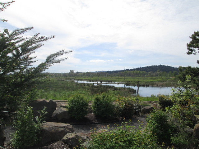
There was a substantial pause at the Fern Hill Wetlands.  After this one, I reverted to my "I'm going now; you'll catch up" practice.  The wetlands plantings have grown, and the water is wonderfully high.  Lost the armwarmers here.

Fern Hill Wetlands

Ray and Kevin discussing bike builds

There was a noticeable headwind, which boded well for the return.

The route itself is relatively uneventful, but for the One Hill.  It is a steeper climb from the north, but paved.  Withycombe (the descent) is gravel, steep, and this day, much loose gravel.  There was a lot of trepidation, but I did successfully descend.  I wasn't worried so much about the climb on the return, because it is a lot slower.

Ray, Carlton elevator, and perm card at the Carlton Bakery
We arrived at the Carlton Bakery to find it full of bicyclists, also out enjoying the nice weather.  Fortunately, they were all leaving, so we ordered our pastries and coffee, and had an outside table to ourselves.  Removed the knee warmers.

And then we headed back.  The tailwind was an excellent push.  I did end up walking the last bit of Withycombe, because I lost my line and had a choice of stopping or toppling.

Kevin and Ray at the summit of Withycombe Rd.
Yamhill elevator
Fini
Sun.  Tailwind.  Not a lot of traffic.  I even got sunburned.  This was a great day.


Wednesday, March 22, 2017

Success on the North Plains - Banks Vernonia Trail Perm Pop

The last time I had a successful through ride on the trail was the Verboort Populaire in November.  Since then we've had snow, ice, biblical quantities of rain, and so on.  We've tried to ride the trail twice, and been turned back both times.

Surely the trail would be open.  I recruited Ray by promising no thunderstorms (hey, it's his perm pop!), and we set out at 8am-ish this morning.

Epic Ride Weather's take on the day:


It wasn't raining when we started out.  No rain jackets.  I had a wool base layer, jersey, and neon wind vest.  Skipped the waterproof socks; living dangerously. We passed through Banks (ugh, school traffic; Banks has one street.  Maybe it has more, but only one major one.) and onto the trail.

There was a picture pause at Wingham Farms (home of Romulus and Remus, the herding dogs), because they'd moved the chickens into the cow pasture, and had the cows in the chicken space.  They also have cute baby goats.


Onward.  The sun came and went.  Upward (railroad grade).  We got to the Stub Stewart Park road crossing, and... there was a sign - "Trail Closed 1 Mile Ahead".

As we say, there's closed and there's closed.  Nothing at a mile.  We kept going.  There might have been a landslide, but nothing on the trail.  Eventually we starting seeing staggering numbers of alder trees broken off and on the ground, although the trail was clear.  Closer to the summit, we came across some trail workers.  After a conversation, where they said the trail was usable at least as far as the summit, we went on.


Lots of alders down, although the trail was clear, except for some silt from the rain.  The pictures don't really do it justice.

Past Tophill, there was a lot more small litter on the trail.  We found one branch to move off, some short areas of deep silt and gravel, and, closer in to Vernonia, one downed tree with branches across the trail - easily managed.  By now we had a fairly persistent light drizzle, not enough to dig out our jackets.

Beaver Creek and the Nehalem River were running fast and high, but not flooding.  Heading out the the lake, we finally had to concede that it was, in fact, raining, and quickly donned our jackets.  We looped around the lake and decided we did have enough time for some coffee.


Off to Black Bear Coffee.  We walked in the door and... "where's your case of pastries?"  They'd moved the coffee/pastry operation to the far north end of the building!  They now also have a punch card - we are both there often enough to make it worth our while, so, yes, we each snagged one.  Mine will stay in my rando wallet, so as to always be at the ready.  The one cinnamon bun left was so very large that Ray and I elected to split it.


We were fairly expedient and headed back out, still wearing our jackets.  Not very far along, we pulled them off, and I went on, figuring Ray would catch up soon.  He found me before Tophill.

Down, and up.  Tophill is the only steep section of the trail.  I stress about the climb on the return, but found myself almost all the way up before realizing that I was past the steepest switchback and hadn't been thinking about it at all.  Nice.

We then enjoyed the descent (as always!), realized we had over an hour and only 8 miles to go in Banks, and finished up.

Fancy pic from the bike computer:


6:14 elapsed.

Gotta mend these! (I was wearing these when I was left-hooked; all the abrasions showed up as ever-growing holes a few months later)