
Two routes were new to me - the Rock Creek Clatskanie Vernonia 204k, and the Where's Yankton? 100k. For Saturday I was told to pick an easy 100, so West County 100k it was.
Greg wanted to ride the 200k, no one spoke up for the West County, and I was riding with Ray on Monday.
Then Jeff wondered if he could sign up for all three (oh yes), and Kevin wanted to ride Sunday as well.
Rock Creek Clatskanie Vernonia 204k
Greg, Jeff and I met at the McDonald's on the corner of West Union and Cornelius Pass. Susan O had empowered me to collect registrations and hand out cards. I had eaten a serious bowl of oatmeal at home, but also got a Sausage Egg McMuffin for reinforcements.
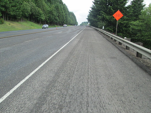
We headed north on Cornelius Pass. I was reminded why I didn't ride on it anymore, and we quickly turned off onto Rock Creek, heading up Rock Creek/Eliott to Skyline, and down Logie Trail. Steep descent, with gravel in every place a cyclist would want some traction on a curve. Fortunately, very little traffic, and warning signs for the gravel. Onto Hwy 30 at the bottom, headed to Scappoose, over 5 miles of grooved pavement. Hope the construction is complete soon.
Got off Hwy 30 there for awhile, heading into St Helens. Susan had recommended All Good Things, and, as there did not appear to be anything else, we stopped there. Wonderful cookies! The guys were kind of faffing around, so I left them, figuring they'd catch me pretty quick.
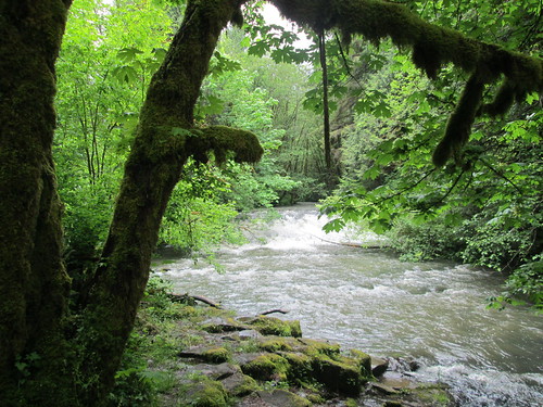
I made it all the way to Rainier, and was almost ready to leave the gas station (long distance until next services), when I saw Jeff coming up. He got some pepperoni sticks and water, and off we went. Greg had gotten a flat. So there was more climbing up to an info control, then a drop down to Hwy 30, a bit more there, then onto Beaver Falls Rd. We were looking for the falls, and found some falls. I don't know if they were the big ones, but they were pretty. Pause for pictures.

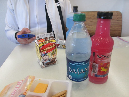
Into Clatskanie, where we stopped at the grocery to restock and eat. Actually grocery, video rental and Radio Shack, all under one roof. I thought the Lunchables might be easier to eat than a sandwich (something about that bread just doesn't want to go down), and I was right. Remembering that for the next long ride. (for non USA readers - a Lunchable is a Kraft snack product - meat and cheese slices and crackers. I would never buy it for any other reason) We then headed over to a gas station for plumbing, and Jeff pointed out that they had bandannas (I had forgotten one; keeps the sweat out of my eyes). I went shopping. Wonder what I'll buy on my next long ride with Jeff?
Anyway, time to climb over the hills again. We went over the Mist-Clatskanie highway, which was a new road for me. Up. Up. Up. Jeff: "I could use a false summit about right now". Up.

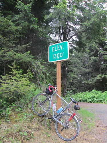
So, up for about 6 miles, and then down to Hwy 47. Dropping down Mist Mountain was great wonderful fun! Greg found us on the descent... "I've been chasing you two for 50 miles!". Jeff elected to pause at Big Eddy county park; Greg and I continued on to Vernonia. We stopped at the Shell Station for expediency. Jeff came up just as we were ready to leave. He went in and bought two corn dogs. We went on. Now we were on the Banks-Vernonia Trail. Peaceful. Quiet. Jeff caught us between the Buxton and Manning trailheads - "you are getting faster; it is harder to catch up to you!"
Quick control stop in Banks (banana), then back to the McDonalds. I was pushing it, because I wanted to ride a sub-12 hr 200k. We finished at 11:50 elapsed. As there was no dinner at home for me, I ate there, and we completed our cards. I collected them all, and dropped them at Team Estrogen afterward, and had a great visit with Jeff M.
6400 vertical feet
126+ miles
12.84 avg speed
Went home, got ready for the
West County 100k
Got to the start, only to discover that there is a reason Ray starts later - the Subway was not yet open. Found Jeff and Kevin over at the Jackson's Convenience Store. Had a great ride with Jeff and Kevin - we weren't in any big hurry, and the weather was entirely acceptable. Not much sun, but no rain, either.

Jeff's comment on our bikes lined up outside the Gaston Market: "small, medium, large". One just right for each of us. We did finish at the Subway and all had a post-ride substantial sandwich.
2400 vertical feet
62 miles
5:41 elapsed time
13.6 avg speed
Went home, mended my wool knickers (hole from the 300k), mended my Acorn Bag (mouse invasion), loafed around and got ready for the
Where's Yankton? 100k
I had to look up Yankton on Google. Turns out it isn't far from the Columbia County Fairgrounds, and I have been through it on the Portland to Coast Walking Relay. The start was in Scappoose, which meant I was driving over the hills on Cornelius Pass Rd. Way back in the day (early 90's), one could somewhat safely RIDE one's bicycle over the hills on Cornelius Pass Rd. It is the easiest way up from Hwy 30. Not anymore. I don't even like driving it! But there I was, winding my way down the hill to Hwy 30 in the rain. Found the Scappoose Library with no difficulty; Jeff was already there. Got ready, and we went over to sit on the benches under the porch overhang. Eventually Ray showed up, and, bonus, also Bill Alsup! Ray: "I kept waiting for you to call and say you weren't riding because the weather was bad... "
Susan said she had heard there was gravel on this route. Now, I don't mind packed gravel, really. The more it resembles dirt, the better. But I hadn't seen the cue sheet or the route profile. I could be in for a really big surprise.
This is a climby 100k. No services along much of the route, either. The first order of business was to ride over the Scappoose-Vernonia Highway. About a 10 mile climb up. It poured the whole climb. New rain booties are on order. We all leapfrogged each other up to the top, and then dropped down to Hwy 202, and on to the first info control at Big Eddy Park. Ray didn't have much of a question. After checking out the park bulletin board, I had many suggestions for him. We also filled up our water bottles, because this was the last stop for water until Yankton. The rain let up on the descent, didn't get much more than a drizzle for a very long while. Mostly it wasn't raining at all.
 |
| Picture by Bill Alsup |
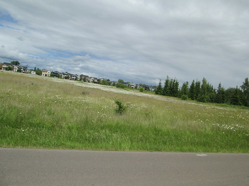
And from there, we turned right onto Apiary Rd. I had never ridden it. It is really, really nice. Never steep, heavily forested, nice pavement. Today, many trucks towing really big camping trailers were headed the same way, but they all passed very politely and safely. However, a Real American (we could tell because of the big US flag and eagle on the rear window of his big pickup) did buzz us all. Some ups and downs and turns onto roads I forget, but we eventually found The Gravel. Sometimes it was just fine and sometimes it got kind of skittery. But I did make it to the other end without incident.
 |
| Picture by Bill Alsup |
 |
| Picture by Bill Alsup |
 |
| Picture by Bill Alsup |
64.88 miles
4400 vertical feet
11.42 avg mph
