I had never ridden it in the spring, only in the fall, where I could ride my mountain bike and pretend I was mountain biking. The trail was not finished, mostly not paved (dirt, gravel, sucking mudpit) and in some places, downright (to me) exciting. Like the descent and ascent at Tophill, with the baby-head-sized rocks on the ascent. I walked. Not to mention the memorable ride where we got to Vernonia, had a snack and came out to watch the sun setting. 17 miles back, and between the two of us, a rear blinkie and a faint front blinkie. In pouring rain. Good times. My last visit was in 2005. Since then, there have been floods and major trail washouts, and I just haven't gone back to ride it since.
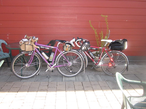
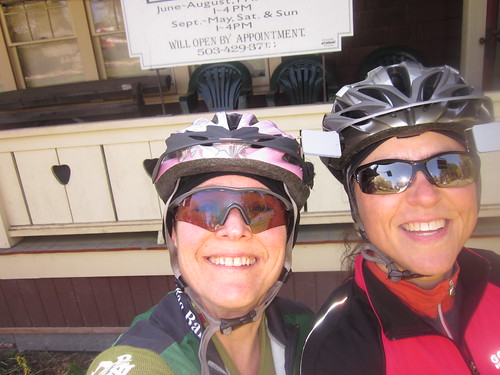
Friend Susan suggested we ride Ray's North Plains Banks Vernonia permanent populaire. We weren't clear on the pavement status. I planned to ride Sweetpea - fat tires, in case of non-pavement. Fenders in case of wet. Turned out, there was total pavement, and no wet.
Met up at Susan's, rode in a pack over to North Plains to meet up with Ray to exchange releases and cards, and headed off. Uneventful zip up to Banks, interrupted by one info control. Candy bar in Banks, then to the other end of town to hop on the trail.
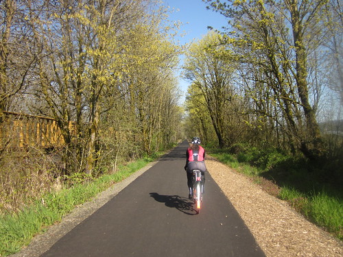
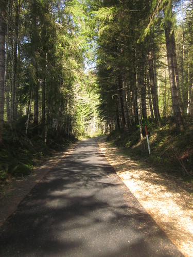
First we rode through a tunnel of trees, then popped out into open farmland. Then back into the trees again, paralleling Hwy 26. I was looking for the Manning trailhead (the former start of the trail), but missed it. No riding on the washboard Pongratz Road anymore - the trail went straight along, south of it. I did not recognize anything! Then we crossed an amazing trestle, and the Buxton trailhead. Locational cues re-established. Used to have to ride DOWN and then UP (was she going to make it? or bail?).
Sun! Warming up!
The Roundhouse turn is now full of trees. Passed through Stub Stewart State Park (formerly the deep sucking mudpit part of the trail), crossed over Hwy 47, and eventually rode down the drop to Tophill. Now all nice and paved and switchbacked. We had been ever so gently climbing, and after riding up the other side (more switchbacks), it was flat/downhill all the way into Vernonia.
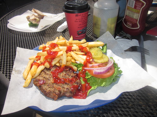
Susan and I went off to find the info control, and then joined the others at the Black Bear Coffee Company for a lazy lunch. An hour-long lunch.
And then back. After summiting Tophill, it was quite warm enough to remove the arm warmers, vest, and wool cap. And, after summiting Tophill, it was a 1% descent for miles and miles and miles...
Passing through Stub Stewart, we started running into more trail users - runners, dog walkers, cyclists, horses, and the idiots on the ATV. Susan called that one in. The additional trail traffic caught me a few times, and I fell back. Through Buxton, through Manning (found it going the other way), then the farmland, the tree tunnel (cool) and the trailhead.
One more control before the end, where we all got stuff to drink. We were warm and thirsty. How strange. Then back to the North Plains gas station for the final receipt (and more to drink) and back to Susan's.
75 amazing miles, 14.28mph. We finished the perm in plenty of time, even with the long lunch stop.

1 comment:
That route looks so smooth...must be great riding.......
A 1% descent..that's flat isn't it.? LOL
-Trevor
Post a Comment