Cue sheet: Beaverton-Birkenfeld-Beaverton 213km
Reg form: Perm 1470 Registration Form
RideWithGPS (for those who like a GPS format; no warranty expressed or implied)
The Tri-Met Beaverton Transit Center is one block to the west.
Starting in Beaverton at the corner of SW Canyon Rd and SW 117th Rd (Starbucks next to PETCO, Jim and Patty's Coffee...) you'll head northwest, finally escaping the urban growth boundary crossing over SW Cornelius Pass Rd. Expediently working your way through North Plains and Banks (still pretty, just direct), you'll stop for a control in Banks (grocery on the right, after crossing under Hwy 6, restroom at the trailhead), then hop onto the Banks-Vernonia Trail, where you will enjoy 20 miles of fields and forest before arriving in Vernonia.
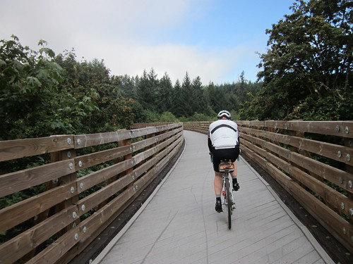
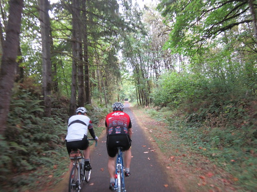
Another control pause - Black Bear Coffee is the tastiest stop, but the Shell Station works if you are on a mission. There is also a Sentry Market and a Subway. Be prepared for The Birk (turnaround control) to be closed.
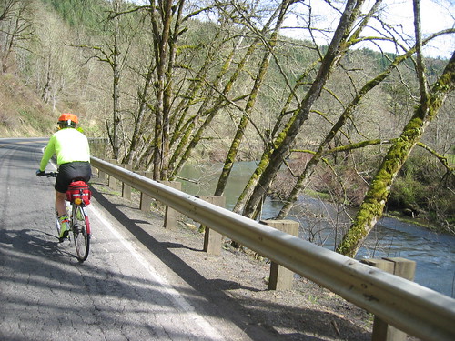
Then following the Nehalem River north and then west, you will eventually arrive at the
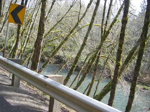
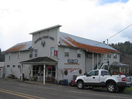
And then turn around, and return the way you came!
Note: the Starbucks by Petco at the start closes at 7pm. Many other options - the Starbucks at Fred Meyer is 24 hr, YoPop one shopping mall west (take the alley next to Jin Wah, it will be on the left), plus lots of fast food along Canyon Rd right there.


2 comments:
And it looks like you don't even need any controls except for the Birkenfeld one, since there aren't really any more direct routes than that.
Once yours is approved, I think this will give Orrando three permanents that go out to Birkenfeld; Your B-B-B, my S-B-S, and Susan F's Forest Grove-Birkenfeld route.
according to mapping programs, there are more direct routes. They involve freeways and logging roads, but they are still there. Not that I'd send anyone over them.
Post a Comment