Wednesday, June 27, 2012

100% Chance of Fruitcake

100% chance of fruitcake

I wasn't going to be able to ride the upcoming OrRando 200k brevet this weekend.  But last Saturday, David P recruited me to do a pre-ride with him, for a final check of the cue sheet.  This would work, because I don't ride much in the areas which require actual navigation.  I would have preferred to ride on Wednesday; much nicer forecast.  David could only ride on Tuesday, which promised precipitation in varying amounts (20-50%).  Our email exchange, verbatim:
> Tuesday would work, but the weather will be sucky. Say "Fruitcake" :-)
"There's only a *chance* of showers, and there's a 100% chance of fruitcake :-)"

(there could be a link to YouTube of Jimmy Buffett singing "Fruitcakes", but I'll spare you)

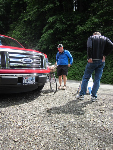
Hopped the MAX out to NE 42nd for our planned 7am departure.  It was drippy.  David appeared just before 7am, I signed the release, got my card, and we were off.
Waiting at the start
The route to the Springwater Corridor, is, by necessity, through Portland.  Expect many stop signs. (Translation: you won't be making time here)

Out on the Springwater.  Still stop signs, but not as many.  I came up with a front flat, providentially at one of the covered benches.  I went for expedient and swapped out tube AND tire (on with the Grand Bois Cypres).  Meanwhile, David found the shard of glass in the tire and patched the tube. A couple of walkers stopped by to supervise, but it really went quickly.  In case anyone was wondering, the tire went on the 650B Aerohead rim with no tire levers.

First control is at a park.  There is a baseball field with (on this day) inaccessible blue rooms, but if you turn left past the field, you'll find more baseball fields and blue rooms.
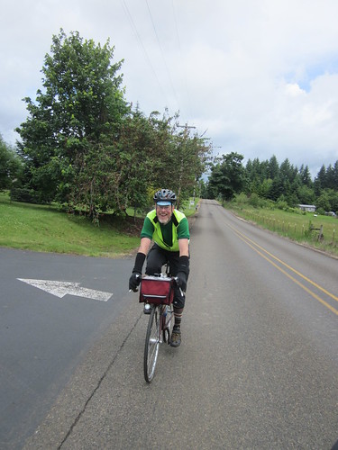
somewhere in Clackamas County

Then, off the Springwater, and out Telford Rd, heading eventually to Boring and thence to Estacada.  There is one annoying climb in there somewhere. Van Curren Rd has an amazing drop.  I hit 42.5mph, which is a first for Sweetpea, and not far off my fastest single bike speed ever.  You have fun with that!

Clackamas county scenery

Through Estacada and then turning right onto Faraday Rd (aka PGE North Hydro Project).
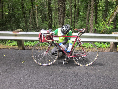
David investigates a noise

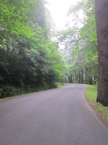
Faraday Rd is freshly paved, and just gorgeous.  You'll pass two dams, and probably no motor vehicles whatsoever (only PGE vehicle access).  Check out the fish ladders.
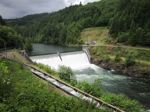

Lower dam and fish ladders, Faraday Rd

Faraday Rd


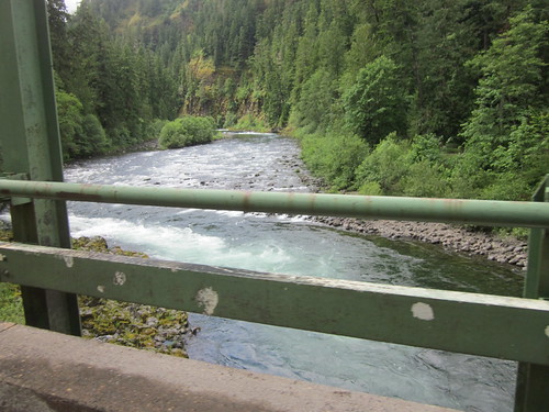
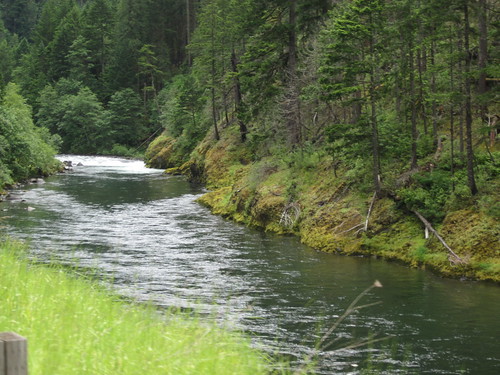
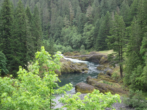
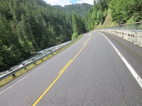
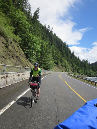
Back on to Hwy 224. Promontory Park is a bit down the road, bathrooms and convenience store.  Then off to Ripplebrook.  Lots of cliffs, scenic river views, and generally not a noticeable grade.  There's a few bits of 4%, and then, near the top, a 6-7% ramp after the last bridge.
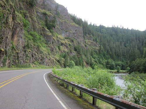
Clackamas River and rock walls

Clackamas River

Clackamas River

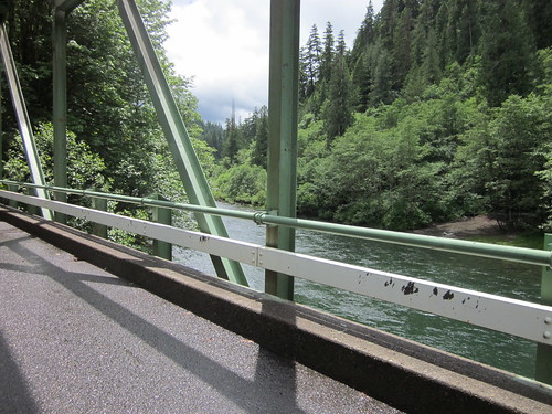
Bridge over the Clackamas River

David stopped to chat with a motorist who wanted to know if this was the way to Salem.  It could be, but very roundabout.  He wanted scenic, so David told him to follow the road to Detroit, then turn right onto Hwy 22.
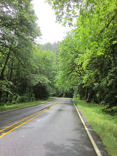
Ascent to Ripplebrook

The wind was "variable".  We would get wet from the periodic bands of light-ish rain, then dry out in time to get wet again.  The lupines are just about ready to bloom.  Finally, the ramp past Indian Henry campground (and the 4th bridge), pass the marsh on the left, pass the work camp and the campground and... there's the Ripplebrook Guard Station!
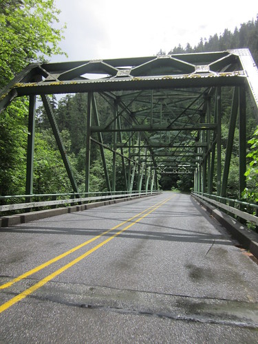
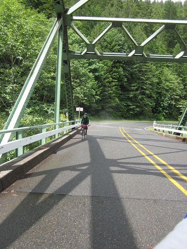
One of the 4 bridges

David, last bridge on the ascent

Last bridge, ascending

Got snacks (Honey Stinger Stroopwaffel, Payday bar for later and coffee for me), visited with the guy running the store, sat outside in the sun, chatted with some folks in the parking lot ("where are you going?  where did you start?"), refilled bottles, pulled jackets back on, and headed down.
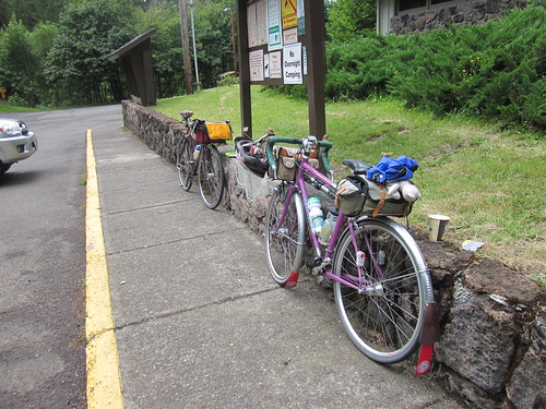
Sweetpea and MLCM resting at Ripplebrook

Descending from Ripplebrook

David, descending

Got to Faraday Rd, where the sky opened.

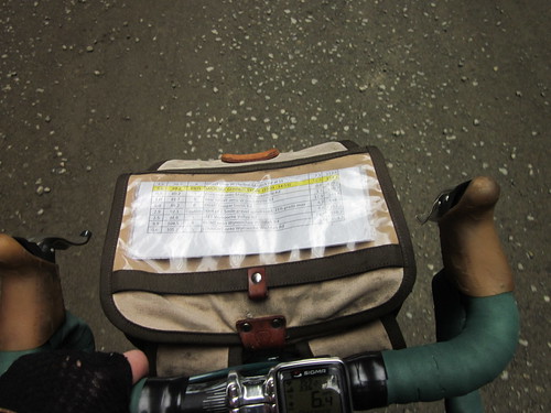
We only stopped once between Ripplebrook and Boring; David had to take a call.  I consumed half that Payday bar during the pause.  Repeated my very fast 10 mile run between Estacada and Boring on Hwy 224.  But for that phone call, we didn't drop below 18mph more than once or twice.  I feel compelled to mention that because David wanted me to check the cue sheet, and because he had no fenders, I pulled most of the day.

We tanked up at the Barton Mercantile.  I drank the remaining half bottle of Food in a Bottle so I could refill it.  Coffee.  David went for the Jojos.  That fried chicken looked very, very enticing, and I bought (and consumed) some.  Probably the first time in years that I've eaten fried anything on a ride.  It hit the spot.
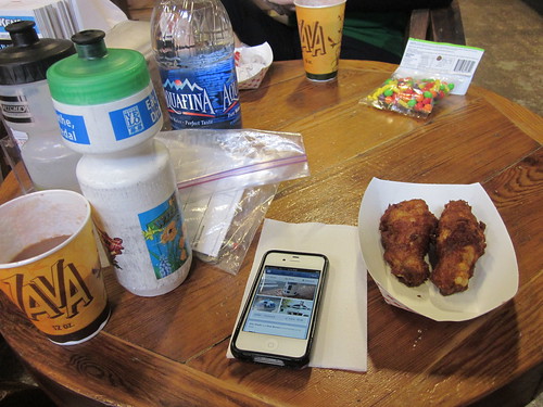
Barton Mercantile rando still life

25 miles to go.  It is all pretty until you get into Oregon City.  The turn from Forsythe onto Apperson is immediate.  Oregon City has a fair amount of traffic.  The turn into the shopping center is, to my mind, subtle.  It isn't really marked, but there is indeed an overpass right after it, and I expect you'd end up at Clackamette Park if you went too far.
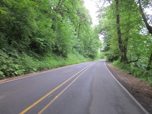
Clackamas River Road

North on McLaughlin - you'll cross over a bridge - I missed it, but getting on the sidewalk is not a bad idea.  It drops you right back on the bike lane after the bridge.  Do follow the instructions for the left turn.

Slogging north on River Road, then David says: "remember that pitch on River Road where it gets steep, and the bike path goes away and it gets really narrow?" Yeeess.  "We don't have to do that anymore, the Trolley Trail is open!"

Yes it is, and very, very nice.  Except the sky opened on us again.  Something about nice pavement.  "Squelch" said David.  My feet were not quite that wet, but they were wet.

Eventually back onto River Rd, looking for the left onto Wren.  Yes, downhill, but there is bicycle wayfinding signage on the right side of the road pointing left.  Then SE 19th drops precipitously down to the Willamette River, where you pick up a trail which takes you north to SE 17th (signed Harrison!)  Busy road; but there is a bike lane for most of it.  Where there wasn't, I rode out in the right-most tire track, because of all the parked cars.  I will not ride in the door zone.  The Veer Left onto SE Milwaukie is really the main road curving left - cars cannot go straight, and you aren't meant to on this ride.  SE Milwaukie is more of SE 17th - busy, parked cars, and so on.  Urban riding again, so you'll slow down.

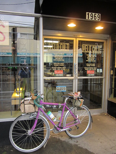
Keep on.  Many of the Portland street signs are not very readable - the text is faded, or they are tipped up at a bad angle.  Cross Broadway before you start looking for Tillamook. :-)  Peaceful neighborhood stretch, and there you are at Velo Cult.

picture of David taking a picture

Sweetpea at Velo Cult, post-ride

I hadn't been there before.  Job description must be interesting - the one person in the shop was mechanic/sales staff/bartender (!)

We finished at 7:04 for an elapsed time of 12:04.  I think that urban riding bit at the start and end didn't help much :-)

And yes, I did eat a lot of fruitcake.

131.6 mi, avg pace of 13.74. In-town riding does that.

Since May 19th, I have ridden a 400k, a 600k, 2 200ks and a random century.  So far this month, 783 miles.

Many, many more pics here
Saturday, June 23, 2012

Finally Riding My Newest Perm

This is the permanent route I wanted to create for many years, but mapping the trail portions was problematic.  I finally solved that and created the route.  But I didn't get a chance to ride it until this week.

Recruited Kevin to ride with me this past Wednesday - he's got a flexible work schedule, and I have, at the moment, no work schedule at all.

Not much planning to do - pop the front bag onto Sweetpea, make up some bags of food in a bottle, toss in a banana, pick out clothes (sunny and hot, but chilly in the am), and that was it.

Kevin found me at the appointed start location, and we chatted while I finished my mocha (start receipt plus calories, plus caffeine).  And off we went.

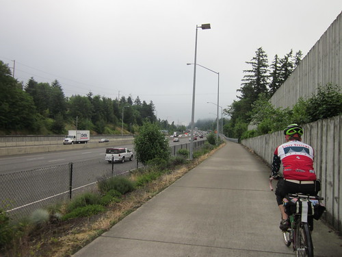
The initial part of the route gets us over Sylvan hill (so much easier coming from the west side), through downtown, over the Steel Bridge, through NE Portland, and finally onto Killingworth (warning; gets quite industrial) and thence onto the I-205 bike path, over the Columbia River, and into Washington.  The damp and fog cleared away as we crossed the bridge.

Sunset Highway bike route

Dropping through Washington Park

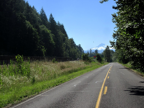
Kevin had not yet ridden on the Washington side on SR-14 to the Bridge of the Gods.  Old Evergreen Highway was nicely deserted as we worked our way east; nice views of Mt Hood and the Columbia River.

Mt Hood!

Kevin wanted to know if we were going by the Camas paper mills.  Yup.  Right by them.  And then the control stop in Camas, where we split a strawberry milkshake and fries, topped up water bottles, and applied sunscreen.  Then off to climb Cape Horn, after working our way through the road construction on SR-14 from Camas.  Not a difficult climb, but it goes on for a few miles.  Nice views off to the right (river). Kevin had no cue sheet, so I told him that we'd summit before Cape Horn, and once we hit the meadows, almost there.

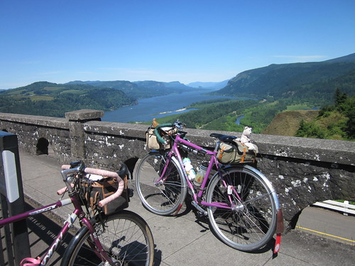
Cape Horn

Pause for pictures.  I have only not stopped once, because the sky had opened.  Not today.  It was pretty windy, and I was a bit concerned about the descent, but it ended up being just fine - got into a traffic lull, so I had the road all to myself on the way down.  The shoulder is too narrow at those speeds :-)  Note: lots of shade and contrasty lighting conditions; turn on your rear blinker before the descent.

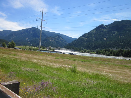
Brief pause at Beacon Rock for more water, then on through the headwind.  We tried to feel the cooling mist from the water spilling over Bonneville Dam.  The Native fishing encampment was in full swing, and wildflowers were cheering up the roadsides (vetch, sweetpea, others).

Bonneville Dam

Almost to the turnaround point

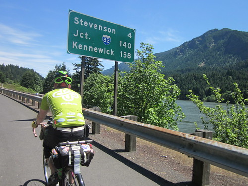
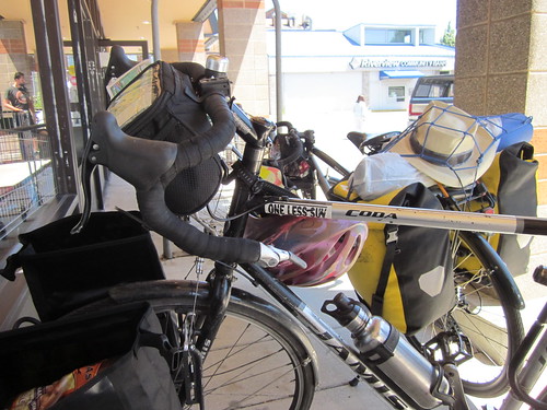
Into Stevenson, where we stopped at the market for a bit.  I had honey Greek yogurt and grapefruit juice; Kevin had some sort of rice cake creation with brown sugar and bacon.  He offered one, but I thought I'd pass.  There were two touring cyclists also stopped - their bikes had front and rear panniers, and they were headed for Montana.  They allowed as how the headwind was pretty special with their setups.  It was pretty special in any case, but at least it was not blowing me to a stop.

touring cyclists in Stevenson

Turnaround!  Tailwind!  Wheeeeee!  Back to Bridge of the Gods, where I again tried to get pictures while on the main bridge deck, but had to chicken out because the crosswind was pretty fierce.  We went from there right onto the trail; no stopping in Cascade Locks.

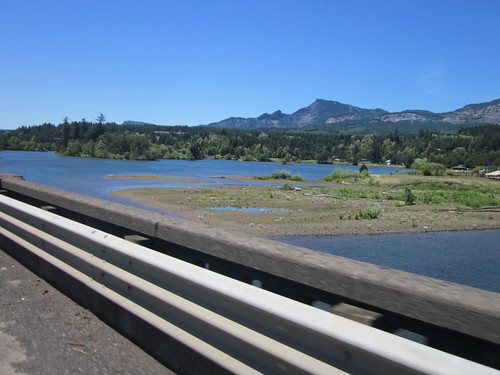
Pretty view west of Stevenson

Kevin and Bridge of the Gods

Eagle Creek trail out of Cascade Locks

The trail is getting really, really bumpy; lots of roots running under it.  We found a downed tree, but the portage was much simpler than the one on the Banks-Vernonia trail a few months back.  Lots of nice trail riding, a pause while we climbed the stairs, and more trail riding until it was time for our freeway stretch.  Kevin - "aren't we going to use the gate?".  Nope, there is a better spot a half mile or so further along; less time on the freeway.  In September, there should be no time on the freeway; the trail should extend all the way to Warrendale.  Except they'll be repaving the Scenic Highway from Crown Point to Latourell Falls, and the route will be unavailable for the duration of the work, as the road will be closed to ALL traffic.

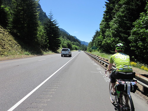
A mile on I-84 westbound

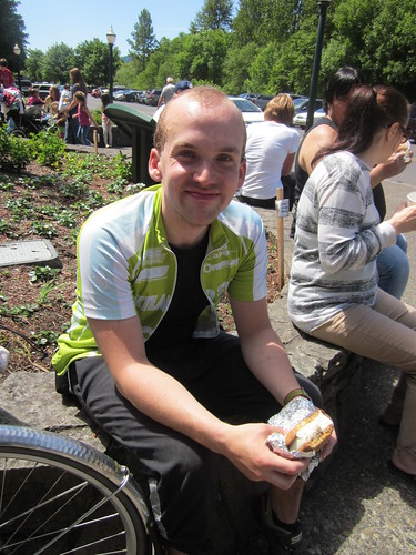
Eastward, not getting as much help from the tailwind as I would have liked, but no hindrance either.  I did catch some spray from Horsetail Falls.  Nice.  Through Oneonta Tunnel, and off for the ice cream sandwich at Multnomah Falls.  Kevin got his first, while I watched the bikes and applied more sunscreen.  He thought it was really big, so we split it.  Sandwich consumed (really good chocolate chip cookies for the outsides), we pressed onward.

Kevin and ice cream sandwich at Multnomah Falls

The climb to Crown Point starts at Latourell Falls.  I've kind of kept track of how quickly I ride up.  I think my previous best was in the vicinity of 19 minutes.  It was just under that today.  No one cheering me on at the top; I had left Kevin behind.  Perhaps his poor sleep the night before was not helping.  Pictures, standing around, jingling the bike bell back at Kevin when he appeared around the curve.

View east from Crown Point

Last mile up - the road had developed an amazing slump; not difficult if you know it is there, now you do.  Then on to the Best Descent Ever.  Kevin had never ridden down Bell Rd, either.  We flew down to Troutdale, through, then onto Marine Drive.  Kevin: "do we have a headwind again?".

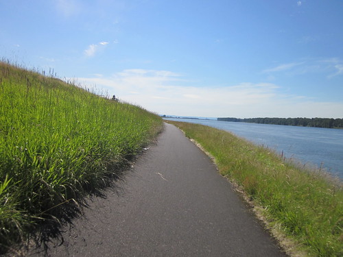
Bike path along Marine Drive

Defeated Marine Drive, then south of the airport, where I had to flip my cue sheet.  Kevin lobbied for a pause in the nice green grass, so we sat for a bit.  I didn't lie down, because I knew I wouldn't get up.  It was that nice and green and shady.  Kevin: "we've got 3.5 hours to go 25 miles.  I'd like to not use all that time"  Me either, let's get going.

Info control at the Air National Guard base, but as it is tricky to find, and there is a new 7-11 store a mile further on, I've now moved the control there.  You'll want to get water and food by then anyway.  We did; at least some water.  Ate my banana and a chunk of Trail Putty, made up a bottle of Nuun.

Into NE Portland (quieter riding), then winding around to end up at the Steel Bridge.  We headed a bit north from there, then up from the river (ouch, but there's really no way around it), and onto Stearns Way, switchbacking up to the Rose Garden in Washington Park.  Kevin: "this is ... pretty".  Translation: "ouch"  Not that bad really; the worst pitch is yet to come.  Stopping at the last info control, I declared that desperate times called for desperate measures, and sucked down a gel.

And there that last nasty pitch was, exiting the Rose Garden.  17%, but very, very short.  We got up to the top of the curve and took a moment.  I was just thinking that this ride was somewhat harder than it should have been.

Winding up through the park, up the road (easy) and the path to Sylvan summit.  All downhill from here.  We cheered.  Flew down the trail, through the neighborhood and off to the Mexican restaurant at the finish (that Starbucks closes at 7).  Chips, salsa and a Diet Coke.  Entered the perm results from my PHONE!  And then Kevin coasted over to the transit station, and I rode the mile or so back up the hill to my house.

130+ miles in total, 12.6 avg, bike computer claims 6880 vertical feet.
12.36 total time; 2 hours off the bike.
all the pics here

Wednesday, June 6, 2012

SIR Watery Olympic Peninsula 600k Brevet

Fair warning: very long ride.  So's this posting

In preparation for this ride, I had a new rear wheel built (Velocity A23 rims, existing White H3 hub, new spokes), and retaped the handlebars with gel padding underneath.

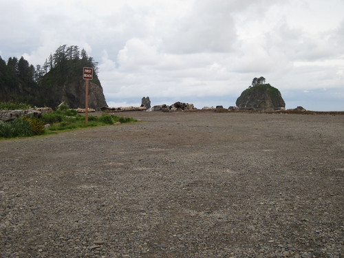
Sea stacks, La Push

The weather was going to be iffy - packed shorts, both OrRando jerseys (needed to represent!), leg warmers, Shebeest loose knickers to wear over that, booties just in case, PI Softshell Pro gloves...

This ride would ALSO be the first ride of any length with food in the bottle.  Made up a bunch of ziplocs of Carbo-Pro/EFS for both days, plus tossed in some Inari Sushi (didn't work) and Trail Putty (must get VBC's recipe.  Mine softens up.)

Planned to drive up with Bill A.  Theo joined us as well.  I had a room in Kingston with two beds, that would do.

Theo arrived about 2pm.  I marveled at his tiny drop bag.  Bill appeared shortly thereafter; we loaded up and headed north.  We went by way of Tacoma, and drove over the Narrows Bridge.  As we pulled into the hotel, we saw at LEAST one other rando bike in the motel lot.  We found Bill G, who was registering riders staying on the Kingston side.  Forms signed, cards handed over, and he decided to join us for dinner.  We walked a few blocks down and had a great dinner in a pub/restaurant.  My bike was all ready to go, as was Theo's.  Bill had a bit more organizing to do.

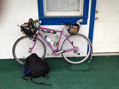
Sweetpea ready to go

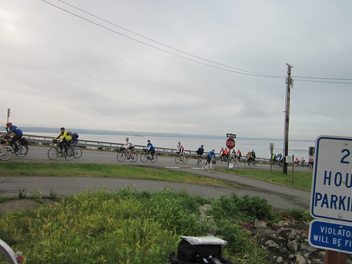
Up the next morning, ate Greek yogurt with berries and Cheerios, and coasted down the street to the start point.  At about 6am, the ferry arrived, and we were treated to the sight of a seemingly-endless stream of cyclists riding off the ferry.

Riders POURING off the ferry

Found Chris W, Albert M ("oh, you are going to ride with your OTHER club!"), Narayan, Peg, and Jan H.  Visiting around, and then the route rap from Kole.  Someone from the back yelled out that he should tell us that Klaylock is spelled Kalaloch :-)  Good thing.  I wouldn't have known.  I'd have to send them off to Pulashis, Texas (spelled Palacios.  Go figure.)

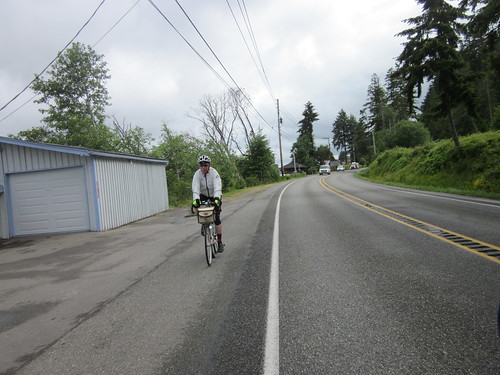
So, 6:15am, and off we went.  I rode along with Narayan for awhile; we caught up.  I think Peg came along somewhere in there.  Eventually we ended up in Bremerton, and I got to ride over the Manette Bridge, and then briefly onto SR-3.  It started drizzling, but not enough to make me want to pull on my jacket or booties.  That was pretty much it for the rain all weekend.

Bremerton

Bill, riding south out of Belfair

Bit of a squeeze by a minivan getting onto SR-3.  Then out Belfair Rd, eventually finding a QFC at mile 39.  Not a control, but I went in and got more water.  Albert, Bill A, and Bill G were also there.

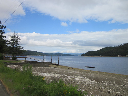
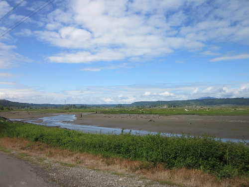
Bill A and I rode together out WA-106, through Union and out to the Skokomish Mudflats, the first control.  Lots of nice riding right along Hood Canal.  Looked like a lot of clam diggers out there.

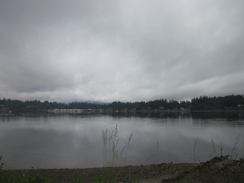
Hood Canal

Skokomish mudflats

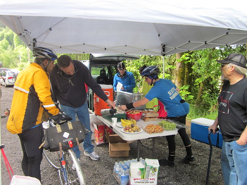
The control had camp chairs, tasty food (potatoes, bananas, and excellent big cookies) and... HOT COFFEE!  I hadn't had any yet, so it was very, very welcome.  Narayan: "I'm leaving... Wait, they have coffee?"  One control worker said "hi Lynne!", and he had to remind me he was Dan J.  Well, you know, he wasn't in riding gear, and had gone off and grown a beard. We are both UH Cougars, and there aren't many of us in the PNW.  :-)

SIR Skokomish control

Tire discussion underway; I mentioned that I had the Hutchinson 650Bs, with 3500 miles on them.  Immediate inspection of tires by some of the control workers :-)

Kicking the tires

Back off into the headwind, which was one of the major themes of the day.  More riding in the flats (this whole section from Belfair to Matlock was the "flat" bit of the ride).  Nothing remarkable about it.  Arrived at the next control (Matlock General Store 80.2 mi), to find Bill G patching another flat.  Got more water.  I was drinking calories in a bottle and making up new bottles as I needed them.  Bill G offered up a packet of Spiz.  I'll try it, but not on such a high-stakes ride. Bill A and Narayan eventually appeared, just as I was leaving.

Bill G in Matlock

scenery, Matlock

There was some promised gravel on the next stretch.  The road eventually started going up and down.  Cougar Smith Rd was quite enjoyable, but then I crossed a bridge and found the gravel.  Hard pack, not a problem.  There was one pitch, were the grade got to 11% and I had to walk it (the grade kept increasing for awhile) until it got down to 8%.  Not long.  Then I was at the top and riding along the ridge for a few miles.  My bike computer went stupid here.  This would not be good.

gravel panda

Olympic Peninsula ferns

Got onto the pavement and fiddled with the pickup positioning, and it came back; no erratic readings for the balance of the ride.  Albert and Peg came along as I was stopped, and they stopped, so we continued on together.

Peg

Future clearcut

Fun descents, lots of conversation.  Peg eventually pulled ahead on one steepish long climb, and I was riding solo again.  Somewhere in there Albert and I converged, and rode together to the Humptulips store.  Or maybe he was there already?  Anyway, more water, chatting with the storekeeper, enjoying the interchange with the two German tourists trying to buy gas.

entering the park

Next control (20 miles further) was the Quinault Rainforest General Store at 145 miles.  Albert and Bill G were there, Bill patching another flat.  I needed something, and eventually settled on a can of condensed Chicken Noodle Soup.  Cold.  Straight from the can.  The shopkeeper said she was really glad to see me, because it was so cool that I was 1 of 4 women total on the ride, out of 60+ riders.  I noted that the women generally had more sense.

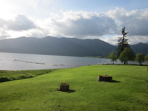
Lake Quinault

Off again, solo, and back onto Hwy 101 for the next 68 miles, the overnight control in Forks.  As the sun started setting, I started getting dopey.  Eventually I did pull off for a short nap.

Sunset heading toward Kalaloch

Then, a mile or so down the road, who should I find but Vinnie and John and Vinnie's friend!  With sandwiches!  And (what I REALLY NEEDED), frappucinos!

Vinnie!

Then off to Kalaloch, which, with everything closed, was now an info control.  Stopped and got a picture of the ocean (Ocian in view! Oh! Joy!)

Kalaloch just after sunset, again

Last 34 miles until Forks.  All on Hwy 101.  Dark.  Solo.  I have never before ridden solo at night.  Tried singing 99 bottles of beer, made it to 97 before I decided that wasn't helping.  It was chilly, so I was very happy to have more layers and warm gloves to pull on.  Took a few more naps.  Had the road to myself, pretty much.  I was on that road forever.  Getting a bit foggy, and even more chilly.  I was sure Forks was there somewhere.

And finally... Forks!  Just after 2am.  Drunk teenagers walking around.  A few big pickups with the occupants yelling encouragement.  No vampires.  No werewolves.  Finally found the hotel, and found Dan at the control.  He checked me in, gave me a room key, and took me over to the food room.  Hot soup.  I knew that I wouldn't get very much sleep :-(

Dan J, Forks control

Off to my room, which the only other female rider was just vacating.  Peg had DNFed.  Sad.  Shower, half hour nap, then back to the food room for some souffle.  Found a very nice note from Theo in my handlebar bag.  Pushed off about 4:45am for the out and back to La Push.

The out was fast, with great pavement.  Waved at Theo and several other returning riders.  Sea stacks are cool, but I didn't feel that I had a lot of time to properly explore.

Sea stack, La Push

The ride back was somewhat less fast.  And I was sleepy.  Started to worry about a possible DNF, because I could not stay awake.  No naps, but I did find myself on places of the road that I couldn't remember riding to.  Just before arriving back at Hwy 101, there was enough sunlight that I did wake up.  Whew.

From here to the Lake Crescent control was all uphill.  I had checked the elevations, and it didn't seem like it would be particularly difficult, just a long, gentle grade.  Stopped at a store past Forks for water; visited with Andy S a bit.  After consideration of what was ahead, I turned both my bottles into calories in a bottle.   Mike J and John D (2 more of the 5 OrRandos on this ride) rode up, and we rode together for awhile.  Then they moved on.  Pulled over to remove all sorts of extra layers.  Except my leg warmers.  They stayed on the entire ride.  Kept on going.  Arrived at the control  (268+ mi) with just over 2 hours in the bank.  Ace control workers got me a Coke and a hard boiled egg.  Heard that Narayan and Duane had DNFed :-( There was some inspection of my new A23 rim.
Lake Crescent control

As a descent was now looming, pulled the layers back on.  Didn't help much, I shook the entire way down.  So did the bike.  Lots of knee on the top tube and slowing down.  I rode completely solo from here to the end.
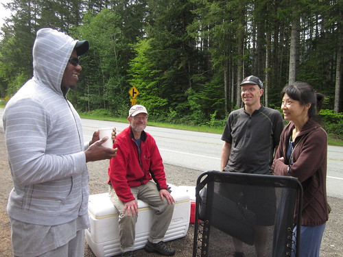
Lake Crescent was gorgeous.  So much so that I took pictures of the lake, as well as stopping to get a few waterfall pictures.  Faffed away some time in the bank, there.

Sweetpea at Lake Crescent

Waterfall, Lake Crescent

Then onto East Beach Rd.  My, my. Homage to Tahuya - inconsistent pavement, uphill, STEEP uphill, remote :-)  Finally got to the top, and rode through Joyce (info control!) and another 10+ miles into Port Angeles (303 mi).

My phone thought it was in Canada.  I could SEE Canada, but I am pretty sure I never left the US.  Brief stop to get more water, a banana, and a Payday bar.  Lest you all think I hadn't been eating all along - I surely had - bananas, trail putty, some snacks at controls, and all that food in the bottle.
By now, you might be wondering... Lynne, where's the bonk?  No bonks.  Not one.

Port Angeles was a series of evil, steep, nasty ramps, eventually dumping me back onto Hwy 101.  From there, a turn onto the Old Olympic Hwy, and thence to the Dungeness Spit (322 mi) for an info control.

Dungeness Spit

Also mouthful of Trail Putty control.  Admired the view, and then pressed on.  From there, off to Sequim (pronounced Skwim), for the last on-course control.  Quiet riding.  Towne Rd did have a few ramps (ouch).  There might have been 3 bonus miles in there somewhere.  Did get to the Sequim Safeway (329 mi), where I consumed a mocha, and topped off the bottles.

Last stretch, all on Hwy 101, and then SR-104.  Hwy 101 (18+ miles) was notable for its nice wide shoulders, and big pickups pulling bigger boats.  And RVs pulling bigger boats.  Noisy.  A bit scary.  Climbing up, then fast descents.  I was hoping for better on SR-104, took the exit and... was faced with a ramp that went on forever.  I couldn't see the cars dropping off at the top, either.  I think I wanted to stop and cry right there, but that wouldn't get me to Kingston.  Worked my way up, alternating sitting and standing.  It was about 2.5 miles long.  A descent then another ramp.  And another ramp.  And so on.  Started to wonder if I'd ever get to the Hood Canal Bridge.  Endless.  I'd get warm climbing, then freeze on the descents.  Lots of zipping and unzipping.  After 14 miles of this, finally, the bridge.

This was kind of fun.  I had never ridden on this bridge (heck, I'd never ridden on most of this route!).  I got one picture.

Hood Canal Bridge

Across, into Port Gamble (hey, I've been HERE), where I stopped to pull on the night riding gear.  Didn't know if I'd finish on the right side of sunset and wanted to be prepared.  Albert zipped by here; first rider I'd seen since Lake Crescent.

Still on SR-104, but not nearly as hilly.  There was a set of short ramps leading into Kingston, including the last 5% one just before the finish.  Normally 5% isn't a big deal, but after so many miles it can be rather more of a challenge.

Hey!  There's the Blue Water Inn!  I'm done!  Big hug from Jennifer (ace ride co-organizer)!  Pizza!  Soda!  Pictures!  Visiting!  Then getting into our room (Theo had arrived much earlier and had the key), and a wonderful shower.  More visiting.  I even drank a beer.

Jennifer, Bill G, and Kole

Me at the finish (photo by Mike J)

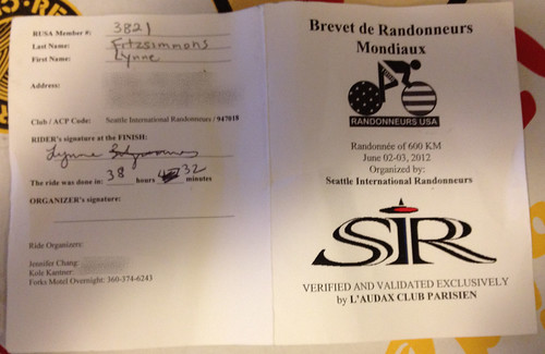
Control card front

Next day ate all the leftover SIR control food :-), took the Kingston ferry across and drove back home.  We'd still be asleep, but for Theo waking us up at 10am...

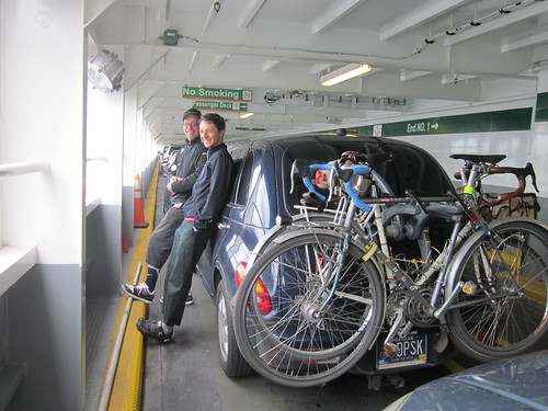
Bill and Theo on the ferry

Aftermath:
38:32 total time
384 miles (a few bonus miles in there)
12.4 avg mph
16,223 vertical feet
6.5 hours off the bike, 30 minutes sleeping
No bonks.  Not one!
No mechanicals or flats.  Tires now have 3900 miles on them.
No post-ride migraine
No numb extremeties - hands and feet are both fine
Miles ridden on Hwy 101 145
Lots of solo riding, including at night.

All the pictures (lots more) here