Route map/gps track
Cue sheet
Reg form
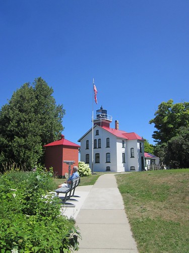
I always take a bike along when we go to the family cottage just north of Frankfort, MI. My favorite ride is the loop around Crystal Lake (25+ miles), but for several years, I've been wanting to get in a longer ride. And, every year, something distracted me from that (sister-in-law: "want to pick berries and make pie?" well, YEAH).
Not this year. After looking at the maps, it seemed to me that a ride with a real destination would be best. I'm a sucker for lighthouses. The Grand Traverse Lighthouse was just about the right distance away.
I started from the cottage. For the perm, you'd start in Frankfort proper, a few miles to the south.
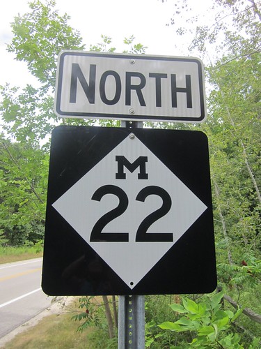
Much of the route is on US Bicycle Route 35, although the route is not signed.
The cue sheet makes it sound a bit more complicated than it really is. Except for the Sutter cut-off early on, the route follows M-22 all the way until it dead-ends at M-201 in Northport. Then north from there, mostly, but not always following the LIGHTHOUSE THIS WAY signage.
Given many of the road and place names, it would appear that much of the population is descended from Scandinavian immigrants.
Get to Leelanau State Park and the lighthouse, sightsee, and then return the way you came.
The route is pretty flat - Sutter is the steepest bit, and there are noticeable climbs south of Empire and south of Northport.
There are many, many cyclists out along this route. So many that I was never asked where I started from or how far I was riding. Drivers are very considerate.
What you'll see:
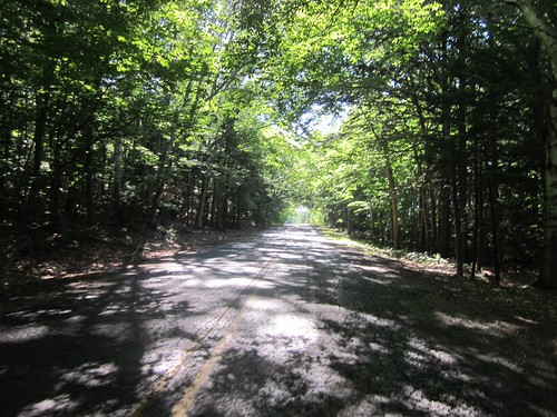
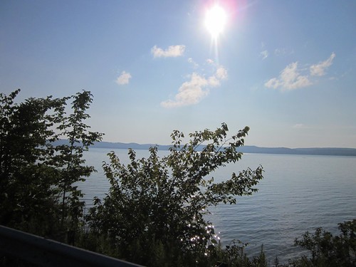
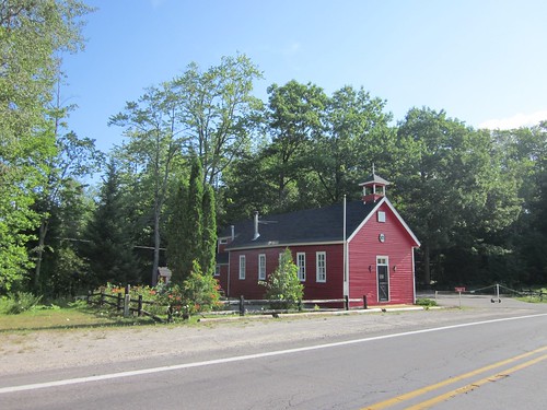
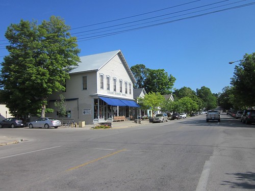
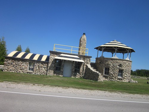
all the pics here

3 comments:
I really love cycling in Northern MI, will save this route for the next time I am up that way!
Leelanau sounds Hawaiian.
It does, but it isn't. Look here for the etymology of the name
Post a Comment