Pause at the Ripplebrook Store for snacks. They have free wi-fi, flush toilets, and a good stock of snacks and drinks.
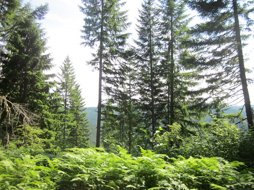
First order of business was to explore the Anvil Creek Portage. This is the adventure part of the brevet. At about 84 miles, the road will stop. But you won't!
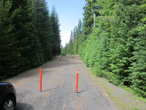
Go to the end of NF-4810. Go past the orange bollards.
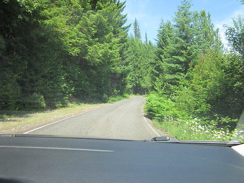
Pretty soon, you'll run out of pavement.
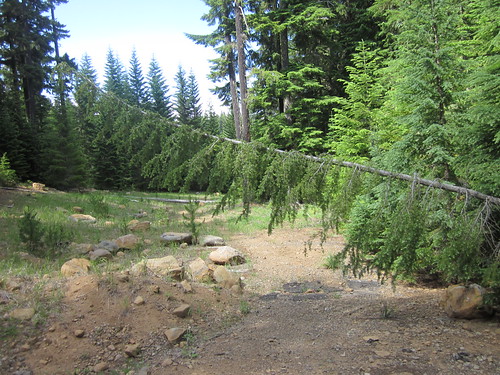
Keep going. You can probably ride most of it, but it is a short hike.
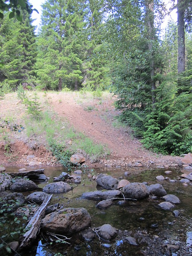
Then there's Anvil Creek - we crossed it without getting our feet wet, and I bet it will be easier having the bicycle to balance with.
Then you have to go up the bank.
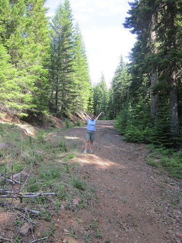
And turn right - there's the road again!
Except you'll come to a big pile of dirt. Go around it on the path to the left, because the dirt pile is steep and slippy and has glass bits in it. The path through the trees is much nicer.
Then along Timothy Lake - we are planning a staffed control at the Pine Point Campground, just across the Timothy Lake Dam on NF-57. Loads of new water spigots and new, clean pit toilets.
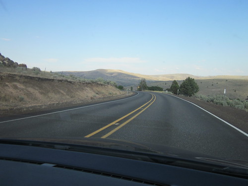
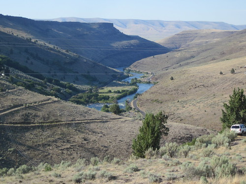
You'll now be working your way toward Maupin - long descent and you are on the dry side of the Cascades. Drop down into Maupin (yes, this implies a climb out), and tank up on food.
Then up, and over to Tygh Valley. Wonderful descent, but the left turn is before the bottom of the hill. There is a store in Tygh Valley; it closes at 6:00pm. We'll have an info control question for those arriving after 6pm. This is why you needed to stock up in Maupin.
Turn around and almost immediately turn right onto Wamic Market Rd. About 5 miles out of Tygh Valley, there is the Sportsman's Pub and Grub on the right. The kitchen stays open until 10pm.
Somewhere along here there are real cattle guards (just ride straight over them, bzzzzt!) and horizontal expansion cracks, for about 5 miles.
Then a long stretch (approx 34 mi) climbing gradually up to US-35. You will join up with US-26, and stop in Government Camp. Public toilets at the north end of town (where you hop off US-26), a Shell Station, which will likely be closed, and further along, the Huckleberry Inn which is open 24 hours, and is reputed to serve great breakfast meals. Pancakes at midnight!
(brief nostalgic aside - I ate breakfast at the Huckleberry Inn just about every Saturday during ski season in the late 70's and early 80's. The waitress was... memorable. I asked at the Govy Store if she was still working. No, she's retired. You are safe. The cashier at the store and I shared a good laugh over that.)
You can also get something to eat at Charlie's, across the street from the Govy Store. The Govy Store closes at 9pm.
Pull on your extra layers, wind shell and warm gloves. The descent on Hwy 26 will cool you down right quick.
But yet, you are not done with the climbing. Eventually you will be on SE Marmot Rd, which starts out fairly harmlessly. But then it gets, as Theo puts it - lumpy. Quotes from an anonymous co-organizer along this stretch: "Marmot Rd is kind of evil. Holy S----. I need a bigger cassette!" followed by "good company might be critical at this juncture"
SE Shipley - ditch naps inadvisable on this stretch.
SE Gordon Creek Rd - innocuous until the steep descent (truck on a triangle) sign. Impressive hairpins along here. Ride carefully!
So, from 6 or so miles into SE Marmot Rd, until you arrive at the Historic Columbia River Hwy, it is a challenging 20 miles.
Then, all downhill/flat from here to the finish. SE Bell Rd is a wonderful descent in the daylight, but in the dark, if you don't know it, exercise caution.
More later after the pre-ride!





3 comments:
Looking forward to the pre-ride this Saturday. We'll post our findings shortly thereafter. -Theo
You should put a cue in for the Oxbow hairpins because quite a few (most?) riders will hit that stretch at night, and if they aren't familiar with it they might think it's just a second helping of the lovely Gordon Creek Road curves despite the truck on a triangle sign.
You betcha.
Post a Comment