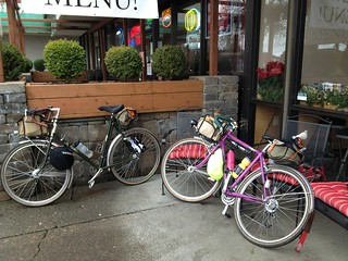
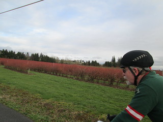
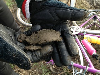
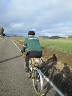
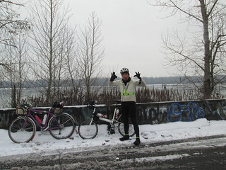
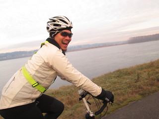
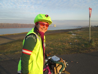
As in, if I didn't ride a 200k before the end of December, I'd be starting that fourth R-12 over AGAIN. Which I did not want to do.
Jason K from Montana was apparently in a similar state, he was in Portland over the holiday, and did anyone want to ride a 200k? Jeff A thought he'd join us. Not that he needed a Dec 200k, he'd just finished the local Solstice 200k.
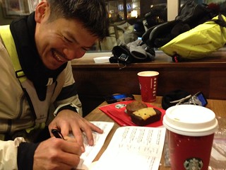
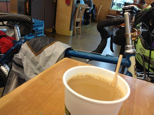
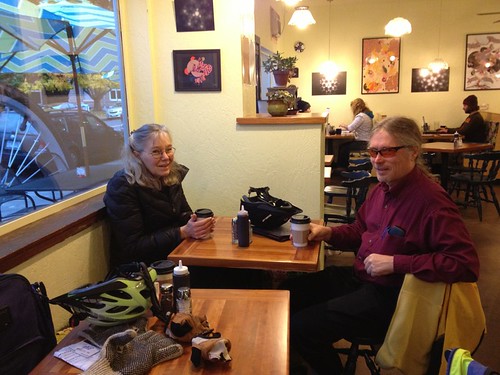
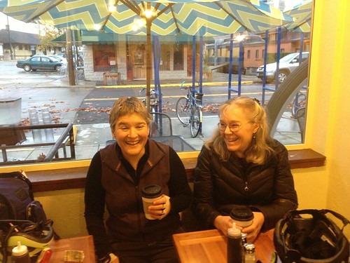
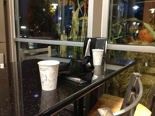
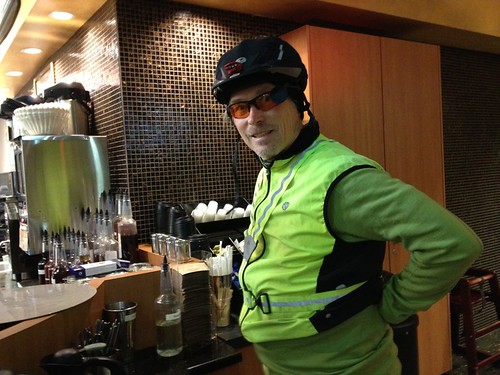
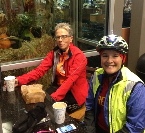
"The flatter the better" was the request. Nothing is really flat here, unless one rides the Mill City 200k, but I wasn't thinking I wanted to get up so early and drive to Wilsonville. Better to coast the 1+ mile down the hill to the start of my Beaverton-Hagg Lake-Carlton 200k. Jason and Jeff were up for that, so 6:30-ish on Sunday morning found us in the Starbucks', dozing over coffee drinks in an attempt to wake up.
It was to start out foggy, and clear off in the afternoon, maybe making it up to 45 deg F!
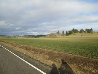
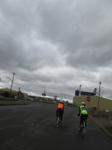
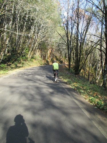
Dark and foggy when we started; the first 9-ish miles heading west and slightly north to escape the Urban Growth Boundary, getting out into the country. No traffic early on a Sunday. Pointed out the local celebrity farm to Jason. His wife is a fan of the show, so he was delighted to be able to share that with her later.
Many info controls for the first third of the ride, some with interesting historic significance. We finally ended up in Forest Grove around 11am, looking for something to eat. I knew Maggie's was closed on Sunday, but figured we could get a slice of pizza. No, not until noon. Not anything else obviously open either on Main Street. I knew there was a burger place "somewhere", so we continued along the route, hoping we'd find it. As it turned out, we didn't go quite far enough, but we did find the Little Monkey Deli. No one in there but us, and we were promptly served tasty sandwiches, Coke, and in my case, a pickle. Jeff bought some killer nut brittle ("the owner's dad makes it") to take along.
(for the record, Scotties Drive In is open at 10:30am on Sundays, and is across the street from the Knitting Store)
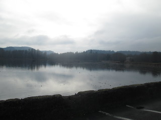
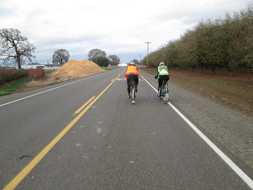
Off to conquer Hagg Lake, the most challenging climbing of the route. It was still foggy. And cold. The sandwich did a nice job of powering me around the lake. For the park being closed, it seemed like the most concentrated traffic of the whole ride, except for Yamhill and Carlton, was at the lake.
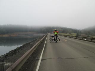
After Hagg Lake, we all stopped to get pictures of the herd of elk we saw on the way in.
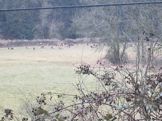
Then into Gaston. Not a control, but we stopped for supplies, it being a ways to Carlton. I filled up my thermal jug with a combination of coffee and hot cocoa powder - the checker helpfully pointed me at the tub of cocoa powder and also said we were welcome to fill up out water bottles. They sell really really good chocolate bars there as well. A store patron admired the bikes and asked where we were headed. Weren't we worried about it getting dark? Not so much. I have always found the Gaston general store and locals to be a really nice group of human beings.
South on Spring Hill/North Valley, over Laughlin to 240, into Yamhill, then the 3 miles south on Hwy 47 to Carlton. The guys were a bit ahead (story of the day) and waited for me so we could pick a destination. We tried the convenience store on Main St, rather than the grocery where I usually stop. They have remodeled their bathroom - really nice! Bought some grapefruit juice - tasty liquid sugar. Off again, still grey and foggy. I like getting to Carlton (82mi), because it is all headed homeward from there.
Found the three rude drivers on Kuehne Rd, but that was it. Finally, the drop onto Ribbon Ridge and we were headed north on North Valley. Over the three big rollers, and that was the last of any real climbing. It didn't get really dark until we turned onto Geiger, where we admired each other's headlights. I could clearly see the light pattern of the Luxos in the mist - wide rays and a shaft of bright light out front. Nice.
My bike computer had long ago given up telling me anything - the display shuts off in the cold although it is still recording. So no stressing about how fast I was or was not riding. Occasional time checks on my phone made it clear that we wouldn't have to do any time trials for the finish. Stopped at the golf course a few minutes too late to go inside (snack bar/plumbing), so any stops would have to wait until the last on-course control. I did stop long enough to suck down my first-ever-consumed-on-a-ride Ensure.
I was awfully achy. And I was not alone in this feeling. Wanted to be DONE.
No traffic on Hwy 219 when we arrived to cross (a gift), and when we rode past the last info control I quizzed them on the details, but we didn't stop. We'd remember the answer :-)
As we skirted the edge of the Urban Growth boundary, Jason (a city planner in real life) was asking about the mechanics of how it worked. Actually we had that conversation earlier in the ride as well.
A few miles further and we were back in Hillsboro and civilization, and, a few miles further, the last on-course control. We paused, ate a little (peanut butter GU, not a flavor I like, but it works), made phone calls, and set out for the final 6 miles.
Finished at the YoPop. Just to clarify, there are places to get beer close by. Not sure what quality of beer, but there is beer availability. But we went to the YoPop, and mixed up bowls of yogurt and non-healthy toppings. Cards were finalized. Then Fitz showed up, and got himself some yogurt.
Jason thought the after dark parts of the ride were the most fun. They were, kind of. It didn't seem as cold, and, again, almost done and no need to stress about not finishing in time.
And because I was so very tired, I stuffed my bike in the back of the Element (me to Fitz: "so, which car did you drive over in?" Fitz: "yours") and accepted a ride home. Jeff: "it IS uphill to your house". Yeah, that's the ticket.
Aftermath: hot shower. Spaghetti and meatballs. Bed. Rode into Portland to meet up with a friend. Message from Fitz indicated that Rebecca and Asher had stopped by, so took the light rail back (with cupcakes from St. Cupcake).
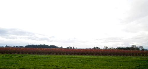
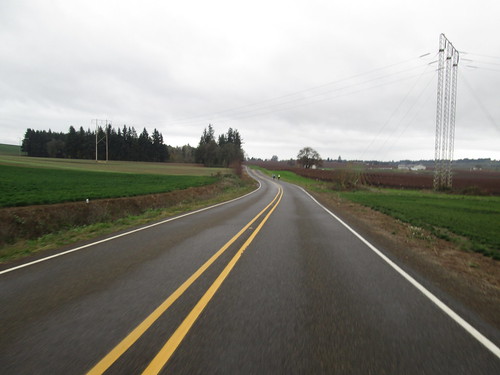
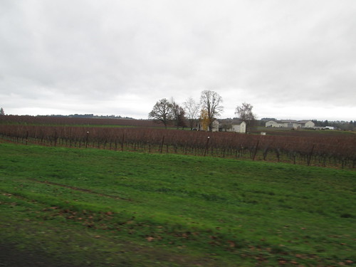
Reviewing the bike computer data, the temperature never made it to 40 degrees. It was foggy or grey the entire day.
So, while this year did not go as I had wanted it to go, Rando-wise, I did finish up with over 5000 RUSA km, and kept the R-12 streak going.
Monday, December 30, 2013
Last Chance (Dec 2013) 200k
Labels:
200k,
fog,
Luxos U,
oregon,
permanent,
randonneur,
randonneuring
Wednesday, December 25, 2013
Harder Than It Looks
Ray and I set out to ride the Dayton Flyer 100k this past Sunday. Weather was going to be decent (neither freezing nor raining). This route has dirt roads, but I'd ridden it before, and despite an overlong stop in Dayton, we made it back in time.
Right. Clearly it wouldn't take so long this time! Tossed in a sandwich, banana, and assorted other food objects which I always carry and rarely eat, a hot drink and some water, and drove out to Forest Grove to meet up with Ray. I didn't see him, so called his home, his wife called him, and we quickly connected up. And I now have his cell phone #.
Ray wanted to get his starting receipt (I already had mine) at the coffee shop next to the grocery, so with this and that, we didn't start until 14 minutes past when we were supposed to.
Bit of a headwind, winding our way south and a bit west to the Lake Store, where we got our receipts (note: the store receipt time bears no resemblance to actual time, neither the hour nor the minutes), and crossed the road to check out the newly constructed and newly opened Scoggins Creek bridge. Oh, lovely pavement!
Nice first day of winter, occasional bits of sun, a pause at the corner of Laughlin so I could gather more material for info controls for one of my perms, then heading up and over Laughlin, to Hwy 240 to Stag Hollow, our first dirt experience. Road was a bit damp, but packed. We could see tire tracks from the Solstice Riders from the night before.
Discussion of wrenching at home... Ray says he's got his grandkids on an apprenticeship program, some of them are now up to bottom bracket maintenance. I am never quite sure when he is joking. It all sounds quite reasonable, but then goes stealthily sideways at some point.
Then south on Mineral Springs, through Lafayette, south again. We discussed what we preferred on cue sheets.
/* digression */
I will say right now that I do not like overmuch information, because it takes too long for one's eyes and brain to track across a row with too many words ("turn left on" turn right on" - these phrases do not appear on any cue sheet I author).
Also, nice straight lines in a table format, again to keep the eyes tracking across. I even color mine "green bar", again, to keep the eye on the desired line). Also (we are in violent agreement here) the cue sheet should be all one needs to complete the ride. Assuming "everyone uses a GPS these days" isn't going to cut it. I have gone so far as to get my bike computer calibrated with Ride With GPS, because many cue sheets are generated with that website. Serves me well.
/* end digression */
So, a bit more dirt past the mobile home park, over the nifty wooden bridge, and there we were in Dayton. We did go into the Blockhouse Cafe, but just got coffee and I added a premade pastry. That said, perhaps a bit too much time was wasted, but, hey, we'd have a tailwind on the way back.
A stop in Lafayette (Ray wanted something). Then we looked up... Clopping down Hwy 99 was a reindeer-pulled carriage. Well, maybe not exactly real reindeer. Mules with antlers :-) I wasn't quick enough to get a picture.
So. But before the long straight, hopefully tailwind-aided stretches, there was Yamhill Road. Dirt, of course, and it goes up. My wheel was making that scratchy leaf sound, and it got harder and harder to pedal. I finally stopped, and we discovered that the fender was packed solid with clay soil. So there was another stop, where I pulled the front wheel and the dirt was all picked out. Mostly.
The road was almost wet, so it started accumulating again. We got to the steep part, which I walked, bouncing the front end to knock the mud away. Finally, the first of several false summits, and pavement.
And then down, onto Laughlin, and the "easy" part. 3 big rollers on North Valley/Spring Hill, 3 more rollers past the Lake Store. But first we had to get there; the expected tailwind was weak. We did. On the last minute (!) Ray got a coke and a candy bar. I got a candy bar, and prepared to leave. Ray was SITTING DOWN. Uh, we have to leave now! Oh, right.
I set out, and stomped my way up and over the three rollers, and then did what I always do on the Hwy 47 stretch from Old Hwy 47 to Dudney Rd - rode on the shoulder against traffic. Ever so much more preferable than having to cross Hwy 47 twice. We'd still be waiting to cross.
Through Dilley, around the nurseries, and finally, the last climb into Forest Grove. Stood up to stomp up it. Ray: " I hope that makes you hurt". It did, but missing the cut-off would have hurt more. Then we were on 19th, and could see the Safeway entrance up ahead. Whew.
Went into the coffee shop for the finish. Got our beverages, and a few minutes later they closed and suggested that we clear out. So we did. End of story.
About 64.5 miles, at a not-impressive pace.
Another Digression: Over on the Seattle Randonneurs blog, Mark Thomas talks about Maps With Me Lite, an offline mapping app, into which (if you get the pay-for version) you can download .kml files as bookmarks. He uses it for a gps backup. I don't use gps, so I thought I'd give it a try if I got a bit bewildered. There were a couple of missing street signs this ride, and I had loaded the .kml track, and it clarified very nicely. You can get the .kml track directly from Ride With GPS. Nice backup to have.
Labels:
100k,
bicycle,
oregon,
permanent,
populaire,
randonneur,
randonneuring,
sweetpea
Sunday, December 15, 2013
Playing Hooky
Patrick from New York was passing through town, mostly using up frequent flyer miles and riding perms everywhere he went. I knew of him from Susan and Lesli's LEL pictures. And, yes, since this job is coming to an end, I figured they could use a day seeing what it would be like without me around :-)
The chosen route was Cedric Diggory, because it traveled through both Oregon and Washington. I have ridden it twice, following the route owner both times. The part where one is crossing from Oregon to Washington over the I-5 bridge has been known to be a little obscure. A bit better now, there is finally wayfinding signage.
It was going to be below freezing, but, with any luck, only "occasional flurries". As long as it didn't ice up, we'd be good.
Found Patrick at Marsee Baking (the traditional start in Sellwood). We enjoyed some coffee and pastries, and waited for Kevin, who said he'd ride as well. But right about 10-ish, I looked at my phone, and Kevin was regretfully bowing out :-(
Off we went. The first part of the route is working one's way north through Portland. Lots of stop signs and traffic lights. Once we crossed over Powell it got a bit less claustrophobic. I played tour guide. Once we were headed out on Willamette, Patrick stopped to get a picture of Swan Island, because, well, he likes to take pictures. I understand that.
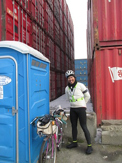
Looping around the furthest west of North Portland, we both needed to stop. Every public park was locked. Finally, spotted some facilities behind a fence. We found the entrance, but they were still behind another fence. So here we were in this big shipping container yard... There were some on the far side. As we were both wearing sufficient hi-vis gear, we cautiously proceeded across the yard. Stacks and stacks of shipping containers. No zombified victims or Wesen, fortunately.
Finally to the entry of the I-5 bridge crossing maze. I had ridden over it 3 or 4 times, there is now wayfinding signage, and Patrick had the course in his GPS. At the first turn, Patrick went left. Nooo, we need to go right here. After a bit of discussion ("Vancouver is THAT WAY"), we went right. The way off to the left was after we'd done the Washington side of the route. Nah, don't blindly trust that GPS.
Through Vancouver, and finally out to the part of the route where there are no stops until one turns around. I looked behind me. No Patrick. Hmm. Went back to the last turn. Looked at the cue sheet. Not sure if it was the turn; surely didn't look like what I remembered. I went down it anyway, definitely didn't look right. Pulled up the Maps with Me Pro on my phone; I had loaded the course track, just to see how it would work. It told me I was in the wrong place too. (Shout out to Mark Thomas!) Went back, looked again back down the road, and found Patrick, just finishing up fixing a flat.
Ok. Northward again, all the way to the turnaround. That stretch seems shorter each time, probably because it is getting more familiar. Bits of snow on the ground there. We counted up things for the info control, and headed back. No berries to pick, and too chilly to hike down to the river.
Back into Vancouver, again looking for a stop. I pulled over to a corner area full of little food shops. Patrick's tire was squashy, so he pumped it up while I took care of business and bought a croissant to share.
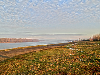
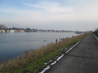
Crossed the bridge and navigated the maze, this time heading east. After a couple of miles on inner Marine Drive, we hopped on the bike path, which provides some really nice views of the Columbia River. Pictures taken, of course.
Then south on the I-205 bike path (great views of I-205, and more maze-like navigation). Patrick paused to pump up his tire again in Maywood Park. We did enjoy the new SE Division St undercrossing (yay! no surface crossing!), and finally popped out on SE Harold, to finish up on the surface streets.
Did I mention that time was running out? Yes, indeed. East on SE Woodstock, in the dark and rush hour traffic. Several blocks of narrow lanes and parked cars (eek!), but then it improved. We turned left on the street which becomes SE Bybee (whoo! almost done!), admired the houses in Eastmoreland, crossed over McLoughlin on the pretty arched bridge, and a few blocks later... Done.
Of course the bakery had just closed - we walked in and they kicked us right out. Starbucks right across the street, so receipt finish at 5:07pm, 7:07 elapsed. 9 minutes to spare.
Kevin joined us for a visit, and entered our results right there. (Hmm. Maybe a page designed for mobile perm results submission? I have been known to enter results at the finish as well.)
Overall, great fun, and nice to meet and ride with Patrick!
A few more pics here
Labels:
100k,
bicycle,
oregon,
permanent,
populaire,
randonneur,
randonneuring,
sweetpea,
washington
Friday, December 6, 2013
A Ride Full of Mechanicals
Ray rounded up Jeff and me to join him on the ever-enjoyable North Plains Banks Vernonia 100k. Given that the coffee shop in North Plains had closed :-( we were to meet at the McDonalds.
Upon arriving, I hunted around for a place to park - not usually an issue, but the McDonalds seems to be expanding and the parking lot is full of construction vehicles. Then I had to find a place to lean the bike!
Bought a hot coffee drink, because it was grey, damp, and chilly. (I hesitate to type that, because right now it is almost down to the teens for overnight temps here. Last weekend was comparatively balmy!) Learned that Ken was also joining us. Ken: "ok, so I voted for you, what are you now?" "Grand Poobah".
Once we were all there and paperwork rituals complete we headed out, not too late after our official 10am start.
The ride to Banks is pretty peaceful, with a halt for one info control. Another pause at the trailhead, and then nothing but trail all the way to Vernonia. We pretty much had the trail to ourselves this day, because of the weather. Leaves were mostly still on the trees, but some were blowing off as we rode by.
Ray narrowly avoided squashing a cute little chipmunk scampering across the trail. After the long gradual (railroad grade) climb to the summit, we dropped down to cross Hwy 47 at Tophill, and then climb back up the switchbacks. I saw Ray walking near the top. Strange.
Turned out he'd broken his chain. He had grabbed the one toolkit which did NOT have a chain tool. I had a chain tool. Jeff had a chain tool. After ascertaining that he had a 9 speed chain, I offered up my spare quick link. No. He figured they weren't any good. Both Jeff and I said that our chains both had quick links on them RIGHT NOW, and, unlike his chain, weren't broken. After more Luddite protesting, I dug it out and let Jeff take over, because I wanted to eat my sandwich. Ray was astounded by the ease of installation. There might also have been some un-installation (also easy) due to chain-threading error.
A couple came by and wanted to know how far to Vernonia. We assured them it wasn't THAT far, and besides, it was all downhill from here. Eventually we restarted and passed them a few miles further along.
Into Vernonia and around Vernonia Lake for the turnaround info control. Ken's tire was getting kind of squashy. I thought he should pump it up and deal with it at the Black Bear Coffee Company, but the tire had other ideas. Jeff and I went ahead and ordered some hot food; Ray and Ken showed up maybe 15 minutes later.
What with all this, when we left, we had 2:45 to get back to North Plains. Generally not an issue, because the return is much faster.
Back up to the summit in Stub Stewart State Park, then downhill. Except we were taking it in a much too leisurely pace. I announced that I wanted to go faster, and moved up to the front, and took the pace from 16 mph to 20 mph without working much harder (downhill!)
Passing by the Manning trailhead, I still remember that Fall afternoon many years ago, before the trail was paved, riding from there to Vernonia and back, except we came out of the coffee shop, exclaimed "what a pretty sunset!", and then realized we had 17 miles back to Manning and one feeble headlight and taillight between us. And it was starting to rain. Yes. Smarter now, about some things, anyway.
So, still hadn't rained, for which we were very delighted, and we arrived back in Banks with 1:15 left and only 9 easy miles. Finished with oodles of time to spare and enough time for a quick social pause (for me) before zipping home for a family thing.
Labels:
100k,
bicycle,
oregon,
permanent,
populaire,
randonneur,
randonneuring,
sweetpea
Thursday, November 21, 2013
Mill City Coffee Run 200k, again
Susan O claims it is the flattest, easiest 200k around, and she's in lower cycling effort mode at the moment. Knowing that we are entering into the Holiday Juggernaut, I wanted to get my November 200k in sooner, rather than later.
She and Asta were planning to ride it, and Kevin L and I joined in. Sunday was going to be the less bad weather day, although the south winds looked to be a little daunting. The planned 6am start (ow!) was almost even more so. Susan was also planning on a 4:30-ish finish. Double ow. Located all the rain gear for the highly possible rain, and rounded up a sufficiency of food (a couple of buttered rye-molasses muffins, a pumpernickel bagel with cream cheese, some gels, water bottle, and Gatorade-Tea fixings for the thermal bottle)
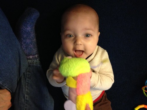
Then I went and played with the grandson (he's 5.5 month old, 18 lbs and very delightful. You even get a picture after all my hints)
The replacement for my drowned Luxos U appeared this week, and was duly installed. And there I was at 5:30am, in the parking lot, unloading my bike and chatting with Kevin, when Susan and Asta arrived. Too early for the Starbucks, so we went over to the convenience store for a starting receipt, and, right at the dot of 6:00am, pushed off. Not raining. Kevin's take on the Luxos U... "show off!"
The headwind was certainly present as we headed south to Gervais, watching the sky slowly lighten. We didn't stop there, but passed through at about 1:10 elapsed. And then we turned full south onto Howell Prairie Road, right into the wind. It is more than a bit discouraging when the HR is in the 160's (not unheard of for me; don't freak out. I don't get pukey until the mid to high 170's) and I am only managing 10mph TOPS. Often less. Asta, Susan and Kevin pulled ahead, but we all eventually regrouped at the gas station with the portapotty. I removed the jacket and dug up the short finger gloves - my warmer gloves got TOO warm and I ended up riding with no gloves for quite a few miles.
Pushed off again, still heading south. We ride on Howell Prairie fairly often. It is 16.9 miles, and I am now pretty familiar with every part of it. It still wasn't raining. Every now and then, a bit of drizzle, but not enough to want to stop and apply raingear.
Kevin had dropped back. Every so often I'd catch a glimpse of his headlight, but I think a lot of that was wishful thinking. I was trying to draft Susan and Asta, which helped a bit, but we were all feeling that headwind. Asta told me to quit worrying about speed and just concentrate on steady effort.
Finally, through the hilly bits and vineyard at the southern terminus, and over to the Shaw Highway (two lanes, narrow, but still no traffic), into Aumsville, then east-ish to our first control in Stayton, at 43 miles.
Susan was in "SHORT STOPS!" mode, so I bought a banana, refilled the water bottle, took care of business, and came back outside. Kevin appeared, but he decided to DNF. He was coming off a cold, and the wind was, I think, the final straw. He planned to ride back to the start, with what would be an amazing tailwind.
The next 20+ miles were imperceptibly uphill, and pretty quiet. Farm animals, bucolia... When we started the stretch from Lyons to Mill City, Asta allowed as how this stretch goes on rather longer than she thinks it should.
Ah, Rosie's Mountain Coffee. I ordered the biggest Pumpkin Latte they offered, and dumped it in my thermal jug, and a bagel sandwich. Ate the whole thing. I don't think we were there longer than 20-30 minutes. Susan: "hey, we had a SIT DOWN lunch!".
From here, downhill back to Stayton, and a crosswind. And another quick stop - bought another banana, a Red Bull for later, and refilled my water bottle.
Then we hoisted our jibs, topsails, and spinnakers and proceeded to THOROUGHLY enjoy that tailwind. Moving average pace from Stayton to Wilsonville - 15.6mph, with an average HR of 138. That's loafing. :-)
We did pause in Gervais so I could pour the Red Bull into a drink-accessible container, and were subsequently briefly detained by a southbound Amtrak. Another pause in Donald to turn on lights - it was not yet sunset, but the shadows were starting to lengthen.
And, at 4:36pm, we rolled up to the Starbucks in Wilsonville, rolled our bikes inside (there is a good space between the grocery and the coffee shop), ordered up, and finished our paperwork. And puzzled over a timeline posting, which became clear when I got home and managed to see all my email.
It relates to this: http://www.rusa.org/announce.html#2013_board_election_results
Stats:
10:36 elapsed time. Quickest ever on this route, which I can attribute to really short stops. And the tailwind on the return.
Total miles 126.2, moving average 13.3mph
Bike computer claims 4200 vf, but I think it is exaggerating.
Wilsonville to Stayton avg 11.5mph (surprised it is that high.)
Stayton to Mill City avg 12.87
Mill City to Stayton 14.22
Stayton to Wilsonville 15.6
Total time not riding: 1:11
stops in Stayton: 9 and 7 min
stop in Mill City (sit down lunch!) half hour?
Labels:
200k,
bicycle,
family,
Luxos U,
permanent,
randonneur,
randonneuring,
sweetpea
Monday, November 11, 2013
Coffeeneur #7, New Seasons Market
I had great plans for Coffeeneuring without Walls (well, maybe next year), which would involve excavating my Svea 123 backpacking stove and riding up to Council Crest Park. Then I was made aware that New Seasons had citron through David Parson's Flickr stream.
We both use it in the same recipe - Italian Fruitcake from the Moosewood Desserts cookbook. Excellent cycling food!
It wasn't like I had any OTHER groceries to pick up, so put the panniers on the Riv and cycled over. The beauty of this store is that they don't mind the bicycle inside.
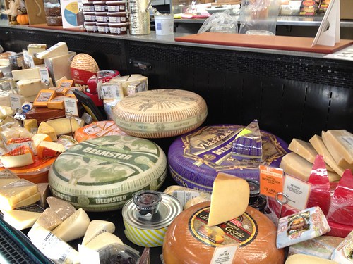
So it wandered up and down the aisles with me, picking up citron, mangos, pie weights (impulse purchase there), fresh ginger, really amazing gouda cheese (another impulse purchase), and, after a text exchange with the son, some gluten-free stuffing mix. I am on his girlfriend's favorite person list at the moment. More aisle wandering, singing along with "Blackbird" (Beatles recording), eventually ending up at the food and beverage-serving part of the store.
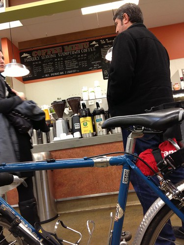
Got a cup of 12 oz house coffee (Stumptown, not too shabby :-) ), parked the bike (kickstand!), sat down, and savored it.
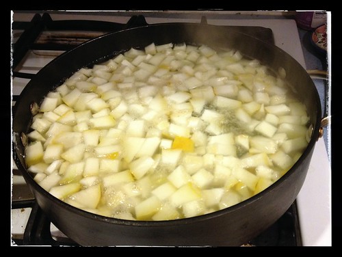
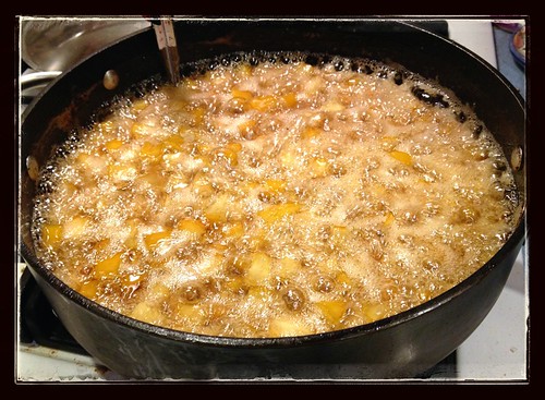
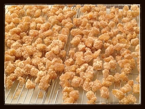
Then rode home and started candying the citron. Yum.
New Seasons Market, Beaverton, OR. Stumptown coffee. 3+ miles.
Monday, October 28, 2013
Alsea Loop 200k, in Between Coffeeneuring
The real reason I was going to Eugene was to ride with Lesli and Michal. Lesli picked the date, and we settled on the Alsea 200 in a not-entirely-explainable process.
Rather than drive (I really don't like to drive, especially after dark), I planned to take the train to and from. So, at 4pm on Friday, I left work, went home, stuffed the Last Few Things into my daypack, hopped on the bike and rode up to the Sunset Transit Station, to catch the MAX downtown.
Arrived just as a train arrived, enabled one of my Tri-Met electronic tickets (HOW COOL IS THAT?), joined 6 other cyclists in the train car (there were also non-cyclists, and technically, the car maxes out at 4 bikes. If it was crowded, I'd have been out of luck), and exited the train at Pioneer Square. A bit of wandering around looking for the best way to head north; SW 6th St goes RIGHT THERE, but it is also the transit mall, and I did not want to mix it up with buses and the MAX Yellow Line. Walked down to SW 4th, and went that way.
Got to the station, got my bike baggage ticket, and immediately got in line to board the train. The ride down was uneventful; the Eugene-bound cars were half full, so we all had window seats. It was dark before we left Oregon City, so I entertained myself with knitting some booties for Asher (the new grandson I have only mentioned once. I am a terrible grandma.).
Cyndi was waiting when the train arrived, we stuffed the bike in the van, drove home, visited and had a yummy dinner. 5:30am was going to happen pretty early, so we all turned in.
The alarm went off right in the middle of a dream about eating on a Rando ride. So very weird.
Yes. So. Pre-ride breakfast and two cups of great coffee, then down the very steep hill in the dark to meet Lesli and coffeeneur.
After that, we started out. Climbed back up the hill on the other side, then down (it was chilly). We headed west toward Crow, and Lesli and I grilled Michal about his impending new custom Winter bicycle. It has a color now. And a list of parts. Maybe the rear mudflap will stay straight. One can hope. I myself am trying to squelch the "I want a new bike TOO!" impulse.
Brief stop in Crow, then north through Veneta, where I almost skewered a wrong-way cyclist. Michal was saying "there is a coffee shop in what used to be a church and a kamikazi cyclist and..." and then I saw her. Ack.
This is not flat terrain. Lots of undulations, not very long, but also 5-7%.
Eventually we ended up in Monroe, home of the generous ice cream servings. Now, it had been chilly and drizzly up to this point, but somehow, we all bought ice cream anyway. I also bought a turkey, cheese and pickle sandwich, big enough for now and later.
Then west a bit and north some more, over the gravel stretch on McFarland. Really more like dirt and hardly any washboard. Further north to Decker Rd (a bit of a climb there), and then a left on Hwy 34 where the first sustained climb begins. Lesli and I told Michal he didn't have to wait for us. About 4.5 miles later, we reassembled at the top, zipped up vests and jackets, and enjoyed the subsequent 8 mile descent. We even saw patches of sunlight!
The control in Alsea is at John Boy's Mercantile, where there are deep fried poppers, Pepsi, and pickles in jars. I scored an actual store stamp on my perm card, and we settled down at the big table inside to eat. After seeing Joe P's Facebook posting about donuts at Top Pot, Michal had a sudden craving for donuts and bought a box of them. We helped out as best we could, eating one right away, and taking one along for later.
There was a mile or two of flat, and then we started up South Fork Rd. Starts out steep (9%). Michal: "this isn't the REAL climb.". Me: "the REAL climb is easier." And it mostly is, and very pretty as well, at least until Alsea Falls. We didn't stop at the falls this day, but kept going.
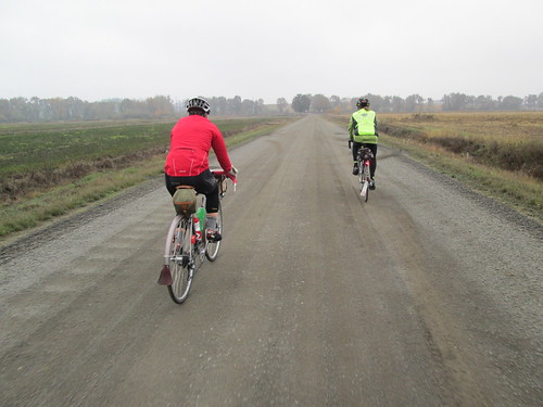
The climb got steeper here, and I didn't remember it going on for quite so long the last time we rode it. Seemed like forever, winding in and out of the hillside, going up and up and up and up. But it was only 4 miles from the falls to the summit at 1300'. (I am sorry I looked at the elevations on Ride With GPS. No wonder it hurt.)
Found Michal and Lesli pulling on outer layers again. I zipped up the vest and pulled on long finger gloves. The descent is a very steep 2.5 miles, and a bit technical at the top. But I still had fun with it. More undulations through Alpine and back to Monroe, where we made a quick stop for beverages and a bit of food. Not a control this time.
Headed off to the Long Tom Grange, passing many pastures filled with cattle. At one point Lesli rode up behind me and I heard "Hello there, handsome!" Um. I don't think she was talking to me. She confirmed that she'd been chatting up the livestock the entire ride.
The terrain was still a bit lumpy, but once we got across the Territorial Hwy, it flattened out. It was also getting quite dim, and I was hanging on to Michal and Lesli for all I was worth. I did manage to eat some while riding along, but I was really wanting to get to Alvadore and catch my breath. It seems to take forever to get there.
Stopped in Alvadore for a snack (Fig Newtons) and a receipt. Michal and Lesli also kindly backed the pace off a little bit :-) More not particularly exciting riding in the dark, but at mile 123.6 we got onto the Fern Ridge Trail, which is an amazing path. Wide, with lighting! Too dark to see the herons, but we were on the outskirts of Eugene by now, and the ambient light brightened it up a bit. I just followed along, and we eventually popped out by a school onto the surface streets, and then a few more blocks back to our start.
Lesli decided to get some groceries and go home. I had wimped out on riding up the hill so many times previously (as in, I had so far, ridden up it ONCE), that I WAS going to ride up it this time. Success.
After dinner, Michal thought I should take some home-roasted coffee back with me. So I watched him roast up a batch. Drank some this morning. Tasty.
134 miles in all.
The route, best viewed with terrain on.
All the pictures here.
Rather than drive (I really don't like to drive, especially after dark), I planned to take the train to and from. So, at 4pm on Friday, I left work, went home, stuffed the Last Few Things into my daypack, hopped on the bike and rode up to the Sunset Transit Station, to catch the MAX downtown.
Arrived just as a train arrived, enabled one of my Tri-Met electronic tickets (HOW COOL IS THAT?), joined 6 other cyclists in the train car (there were also non-cyclists, and technically, the car maxes out at 4 bikes. If it was crowded, I'd have been out of luck), and exited the train at Pioneer Square. A bit of wandering around looking for the best way to head north; SW 6th St goes RIGHT THERE, but it is also the transit mall, and I did not want to mix it up with buses and the MAX Yellow Line. Walked down to SW 4th, and went that way.
Got to the station, got my bike baggage ticket, and immediately got in line to board the train. The ride down was uneventful; the Eugene-bound cars were half full, so we all had window seats. It was dark before we left Oregon City, so I entertained myself with knitting some booties for Asher (the new grandson I have only mentioned once. I am a terrible grandma.).
Cyndi was waiting when the train arrived, we stuffed the bike in the van, drove home, visited and had a yummy dinner. 5:30am was going to happen pretty early, so we all turned in.
The alarm went off right in the middle of a dream about eating on a Rando ride. So very weird.
Yes. So. Pre-ride breakfast and two cups of great coffee, then down the very steep hill in the dark to meet Lesli and coffeeneur.
After that, we started out. Climbed back up the hill on the other side, then down (it was chilly). We headed west toward Crow, and Lesli and I grilled Michal about his impending new custom Winter bicycle. It has a color now. And a list of parts. Maybe the rear mudflap will stay straight. One can hope. I myself am trying to squelch the "I want a new bike TOO!" impulse.
Brief stop in Crow, then north through Veneta, where I almost skewered a wrong-way cyclist. Michal was saying "there is a coffee shop in what used to be a church and a kamikazi cyclist and..." and then I saw her. Ack.
This is not flat terrain. Lots of undulations, not very long, but also 5-7%.
Eventually we ended up in Monroe, home of the generous ice cream servings. Now, it had been chilly and drizzly up to this point, but somehow, we all bought ice cream anyway. I also bought a turkey, cheese and pickle sandwich, big enough for now and later.
Then west a bit and north some more, over the gravel stretch on McFarland. Really more like dirt and hardly any washboard. Further north to Decker Rd (a bit of a climb there), and then a left on Hwy 34 where the first sustained climb begins. Lesli and I told Michal he didn't have to wait for us. About 4.5 miles later, we reassembled at the top, zipped up vests and jackets, and enjoyed the subsequent 8 mile descent. We even saw patches of sunlight!
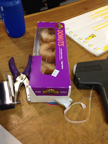
The control in Alsea is at John Boy's Mercantile, where there are deep fried poppers, Pepsi, and pickles in jars. I scored an actual store stamp on my perm card, and we settled down at the big table inside to eat. After seeing Joe P's Facebook posting about donuts at Top Pot, Michal had a sudden craving for donuts and bought a box of them. We helped out as best we could, eating one right away, and taking one along for later.
There was a mile or two of flat, and then we started up South Fork Rd. Starts out steep (9%). Michal: "this isn't the REAL climb.". Me: "the REAL climb is easier." And it mostly is, and very pretty as well, at least until Alsea Falls. We didn't stop at the falls this day, but kept going.
Found Michal and Lesli pulling on outer layers again. I zipped up the vest and pulled on long finger gloves. The descent is a very steep 2.5 miles, and a bit technical at the top. But I still had fun with it. More undulations through Alpine and back to Monroe, where we made a quick stop for beverages and a bit of food. Not a control this time.
Headed off to the Long Tom Grange, passing many pastures filled with cattle. At one point Lesli rode up behind me and I heard "Hello there, handsome!" Um. I don't think she was talking to me. She confirmed that she'd been chatting up the livestock the entire ride.
The terrain was still a bit lumpy, but once we got across the Territorial Hwy, it flattened out. It was also getting quite dim, and I was hanging on to Michal and Lesli for all I was worth. I did manage to eat some while riding along, but I was really wanting to get to Alvadore and catch my breath. It seems to take forever to get there.
Stopped in Alvadore for a snack (Fig Newtons) and a receipt. Michal and Lesli also kindly backed the pace off a little bit :-) More not particularly exciting riding in the dark, but at mile 123.6 we got onto the Fern Ridge Trail, which is an amazing path. Wide, with lighting! Too dark to see the herons, but we were on the outskirts of Eugene by now, and the ambient light brightened it up a bit. I just followed along, and we eventually popped out by a school onto the surface streets, and then a few more blocks back to our start.
Lesli decided to get some groceries and go home. I had wimped out on riding up the hill so many times previously (as in, I had so far, ridden up it ONCE), that I WAS going to ride up it this time. Success.
After dinner, Michal thought I should take some home-roasted coffee back with me. So I watched him roast up a batch. Drank some this morning. Tasty.
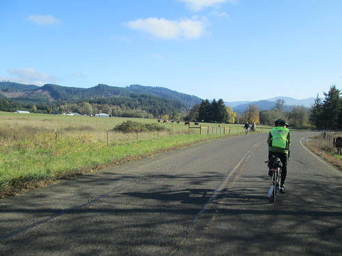
134 miles in all.
The route, best viewed with terrain on.
All the pictures here.
Labels:
200k,
bicycle,
eugene,
permanent,
randonneur,
randonneuring,
sweetpea
Coffeeneur #6, Morning Glory, Eugene
Michal and I thought we could squeeze in another coffeeneur on the way to taking me to the Eugene Amtrak Station.
Cyndi had an errand to run, so she would be meeting us there, and carrying my daypack, which had somehow acquired a book and a jar of home-roasted coffee...
Of course there was wonderful coffee beforehand, but that has never stopped me from drinking more coffeeneur-approved™ beverages.
Fortunately, it was considerably less dark and foggy than the day before, but somehow, no less steep. I am not exactly sure how we got there (well, sort of sure), but there was the train station, Morning Glory, and Cyndi.
They have a fun bike rack setup, and a giant bicycle wheel sculpture outside.
Went in and ordered (this is Eugene; what sort of milk-like substance did I want in my chai? Dairy.), then walked my bike across the street to get its luggage tag. Very low key.
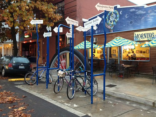
Back for the chai, some pictures, and further visiting before it was time to catch the train.
(picture by Michal Young; train station out the window to the left)
We walked my bike over to the baggage car, and I handed it up, said good-byes and got onto my car (PDX bound, cars 6 and 7).
Another very fun weekend!
Chai, 3.84 mi, Morning Glory Cafe
Coffeeneur #5 in Eugene, Market of Choice
Another posting will tell about the subsequent 200k and all that.
By my interpretation and MG's clarification, it isn't an organized ride unless you sign a release. No releases for riding to the start, despite the dark, fog, and wickedly steep hill.
As Michal mentioned, he'd already filled me up with Really Good Coffee before we left to ride down to the start. It was dark, foggy, and chilly, and we were meeting Lesli to go ride Michal's Alsea Loop 200k.
I was kind of hoping to get in a coffeeneuring double this weekend, because access to a bicycle and events for next weekend are conspiring against me.
After successfully dropping off the hill (steep, steep, steep, slightly sketchy pavement), missing my drowned Luxos U the entire way, we arrived at Market of Choice. Lesli was already there. My odometer said 2.04 miles. Bingo!
Inside for hot chocolate! Michal took pictures, I took pictures, Lesli tried really hard to look stoic in all of them...
(picture by Michal Young)
And then it was much lighter, and we set out to ride the perm.
Subscribe to:
Posts (Atom)