Some time ago I mapped out a permanent populaire which climbed hills. It would need a lot of info controls, because all it does IS climb hills, and doesn't go anywhere with services.
Route link
I put it out as my birthday ride; I'd be riding more than my age and climbing considerably more than my age in hundreds of vertical feet :-)
Bill thought he'd join me; he said he needed to work on his climbing. That's two of us.
He came by the house and we started out.
First climb: NW Cedar Hills-NW 119th-McDaniel-Thompson.
Wandered west on Skyline, and dropped down Springville. Bottom of Springville is flat, but turning onto NW Kaiser starts back up.
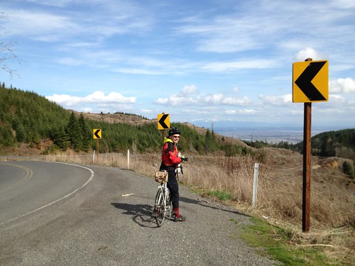
Second climb: Old Germantown. Winding, switchbacks, good views.
Then up Germantown to Skyline, and west again, crossing Cornelius Pass, and dropping down Old Cornelius Pass for a short bit.
Third Climb: Rock Creek (more potholes than road until you get to the county line)-Elliot.
Turn left on Skyline, and drop down Beck.
Fourth Climb: coming up Beck on the other half. Ouch.
Topping out at Johnson Rd (the headwaters of Logie Trail Rd), we took a bit of a break, before FLYING down Logie Trail, except for the hard left after the drop and subsequent 11% short, but painful climb, then down again.
West again on Helvetia Rd.
Fifth Climb: Jackson Quarry-Mason Hill-Solberger-Moreland (hi Ray!) Longest climb. Be sure to check out the abandoned log cabin (covered with moss) and abandoned car (even MORE covered with moss).
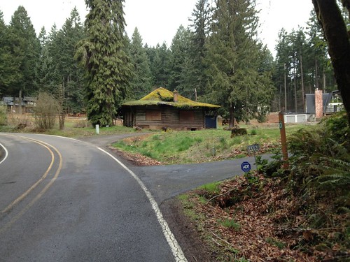
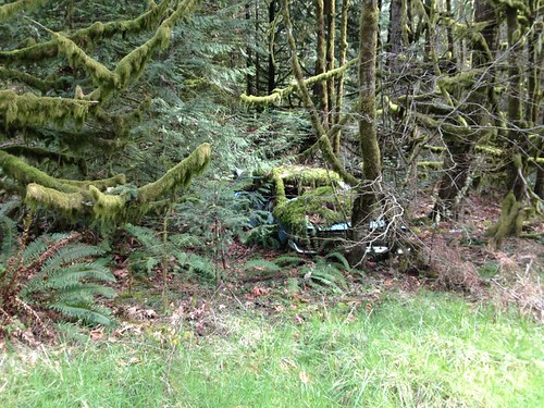
We paused at Ray O's house near the top of Moreland, topped off water bottles, and got a tour of Ray's bicycle corner in their capacious shed.
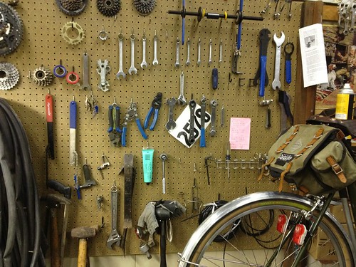
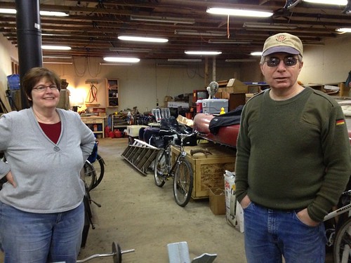
Then it was time to head west again on Skyline, and drop down Rocky Point to Hwy 30.
After a wrong choice at Old Rocky Point road looking for the marina/little store (wow, what's a real 60's encampment there :-) ), we found the correct Old Rocky Point Rd just before the weigh station on the left.
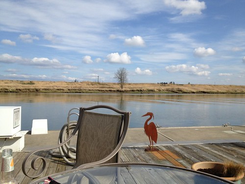
Carefully crossing Hwy 30, we dropped down, and were pointed at the store. Crossed the gangplank to the float where the store was situated. It had actually closed at 3pm, but the nice folks reopened it. Ice cream, drinks, snacks. And very new, clean public restrooms. And a deck overlooking the river. But don't linger too long if you are on the clock because...
Now heading east on Hwy 30 (cross carefully), the first right after Cornelius Pass is...
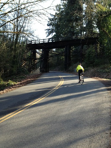
Sixth Climb: McNamee. Cross under the rail trestle, and enjoy the 17% grade. It slacks off pretty quickly, and eventually gets quite manageable. Pretty climb. You actually go a bit higher than Skyline and drop down to it.
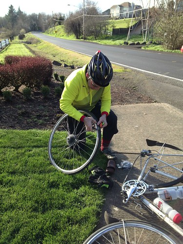
Then back on Skyline to Cornell Rd. Up and down, but not oppressively so. Bill came up with a flat, so we paused at a nice grassy subdivision entrance spot to fix it.
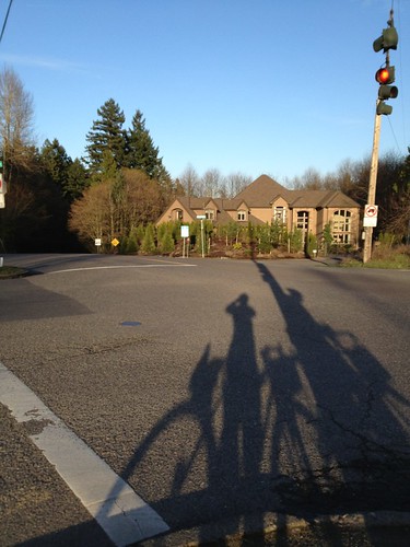
The drop down Cornell is very fast. No bike lanes, and really awful to do when the sun is in your eyes. If you are riding this as a permanent populaire, not likely to be a problem.
Down and up on Cedar Hills, west on Barnes Rd, ride up through the Sunset Transit Center parking garage (lights on for safety and visibility, also if you are taller than some height I do not remember on your bike, use the elevator instead), across the pedestrian bridge, and done.
We crossed the Multnomah County-Washington County line too many times to count.
And yeah, it was getting dark-ish, glad I had my rando bike and helmet with all the lighting!
Not yet submitted for approval. I am not entirely sure I could finish it in time. We certainly took OUR time riding it. I sucked down a gel before each hill (as well as eating), and none of them gave me any particular difficulty. 4mph is a speed.
Totals for the day: 68.25 miles, riding average 9.85.

No comments:
Post a Comment