Recruited Kevin to ride with me this past Wednesday - he's got a flexible work schedule, and I have, at the moment, no work schedule at all.
Not much planning to do - pop the front bag onto Sweetpea, make up some bags of food in a bottle, toss in a banana, pick out clothes (sunny and hot, but chilly in the am), and that was it.
Kevin found me at the appointed start location, and we chatted while I finished my mocha (start receipt plus calories, plus caffeine). And off we went.
The initial part of the route gets us over Sylvan hill (so much easier coming from the west side), through downtown, over the Steel Bridge, through NE Portland, and finally onto Killingworth (warning; gets quite industrial) and thence onto the I-205 bike path, over the Columbia River, and into Washington. The damp and fog cleared away as we crossed the bridge.
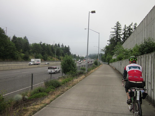
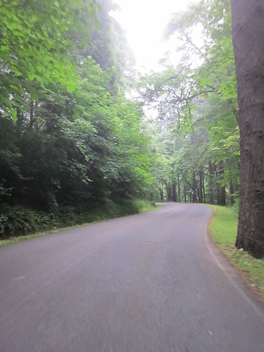
Kevin had not yet ridden on the Washington side on SR-14 to the Bridge of the Gods. Old Evergreen Highway was nicely deserted as we worked our way east; nice views of Mt Hood and the Columbia River.
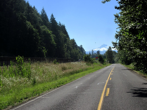
Kevin wanted to know if we were going by the Camas paper mills. Yup. Right by them. And then the control stop in Camas, where we split a strawberry milkshake and fries, topped up water bottles, and applied sunscreen. Then off to climb Cape Horn, after working our way through the road construction on SR-14 from Camas. Not a difficult climb, but it goes on for a few miles. Nice views off to the right (river). Kevin had no cue sheet, so I told him that we'd summit before Cape Horn, and once we hit the meadows, almost there.

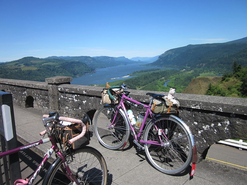
Pause for pictures. I have only not stopped once, because the sky had opened. Not today. It was pretty windy, and I was a bit concerned about the descent, but it ended up being just fine - got into a traffic lull, so I had the road all to myself on the way down. The shoulder is too narrow at those speeds :-) Note: lots of shade and contrasty lighting conditions; turn on your rear blinker before the descent.
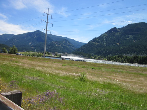
Brief pause at Beacon Rock for more water, then on through the headwind. We tried to feel the cooling mist from the water spilling over Bonneville Dam. The Native fishing encampment was in full swing, and wildflowers were cheering up the roadsides (vetch, sweetpea, others).
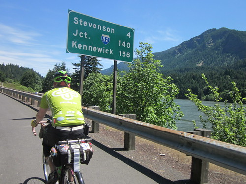
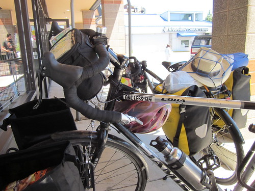
Into Stevenson, where we stopped at the market for a bit. I had honey Greek yogurt and grapefruit juice; Kevin had some sort of rice cake creation with brown sugar and bacon. He offered one, but I thought I'd pass. There were two touring cyclists also stopped - their bikes had front and rear panniers, and they were headed for Montana. They allowed as how the headwind was pretty special with their setups. It was pretty special in any case, but at least it was not blowing me to a stop.
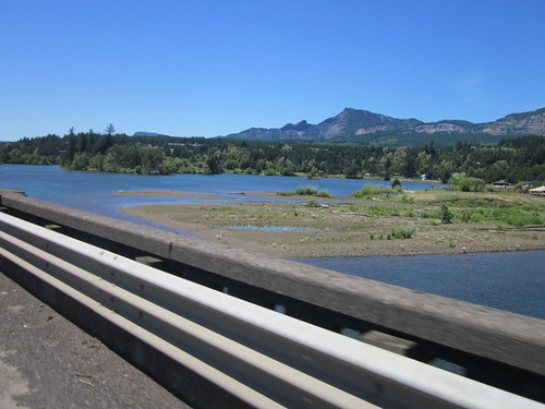
Turnaround! Tailwind! Wheeeeee! Back to Bridge of the Gods, where I again tried to get pictures while on the main bridge deck, but had to chicken out because the crosswind was pretty fierce. We went from there right onto the trail; no stopping in Cascade Locks.


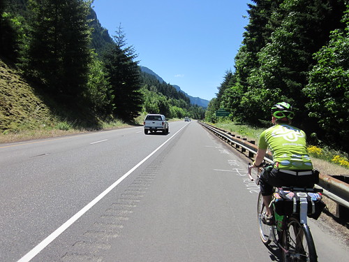
The trail is getting really, really bumpy; lots of roots running under it. We found a downed tree, but the portage was much simpler than the one on the Banks-Vernonia trail a few months back. Lots of nice trail riding, a pause while we climbed the stairs, and more trail riding until it was time for our freeway stretch. Kevin - "aren't we going to use the gate?". Nope, there is a better spot a half mile or so further along; less time on the freeway. In September, there should be no time on the freeway; the trail should extend all the way to Warrendale. Except they'll be repaving the Scenic Highway from Crown Point to Latourell Falls, and the route will be unavailable for the duration of the work, as the road will be closed to ALL traffic.
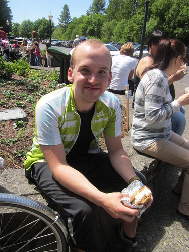
Eastward, not getting as much help from the tailwind as I would have liked, but no hindrance either. I did catch some spray from Horsetail Falls. Nice. Through Oneonta Tunnel, and off for the ice cream sandwich at Multnomah Falls. Kevin got his first, while I watched the bikes and applied more sunscreen. He thought it was really big, so we split it. Sandwich consumed (really good chocolate chip cookies for the outsides), we pressed onward.
The climb to Crown Point starts at Latourell Falls. I've kind of kept track of how quickly I ride up. I think my previous best was in the vicinity of 19 minutes. It was just under that today. No one cheering me on at the top; I had left Kevin behind. Perhaps his poor sleep the night before was not helping. Pictures, standing around, jingling the bike bell back at Kevin when he appeared around the curve.
Last mile up - the road had developed an amazing slump; not difficult if you know it is there, now you do. Then on to the Best Descent Ever. Kevin had never ridden down Bell Rd, either. We flew down to Troutdale, through, then onto Marine Drive. Kevin: "do we have a headwind again?".
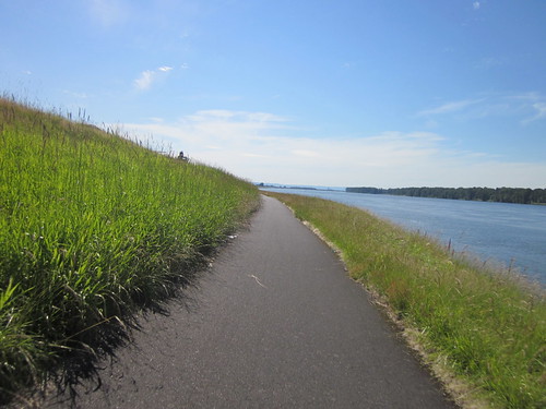
Defeated Marine Drive, then south of the airport, where I had to flip my cue sheet. Kevin lobbied for a pause in the nice green grass, so we sat for a bit. I didn't lie down, because I knew I wouldn't get up. It was that nice and green and shady. Kevin: "we've got 3.5 hours to go 25 miles. I'd like to not use all that time" Me either, let's get going.
Info control at the Air National Guard base, but as it is tricky to find, and there is a new 7-11 store a mile further on, I've now moved the control there. You'll want to get water and food by then anyway. We did; at least some water. Ate my banana and a chunk of Trail Putty, made up a bottle of Nuun.
Into NE Portland (quieter riding), then winding around to end up at the Steel Bridge. We headed a bit north from there, then up from the river (ouch, but there's really no way around it), and onto Stearns Way, switchbacking up to the Rose Garden in Washington Park. Kevin: "this is ... pretty". Translation: "ouch" Not that bad really; the worst pitch is yet to come. Stopping at the last info control, I declared that desperate times called for desperate measures, and sucked down a gel.
And there that last nasty pitch was, exiting the Rose Garden. 17%, but very, very short. We got up to the top of the curve and took a moment. I was just thinking that this ride was somewhat harder than it should have been.
Winding up through the park, up the road (easy) and the path to Sylvan summit. All downhill from here. We cheered. Flew down the trail, through the neighborhood and off to the Mexican restaurant at the finish (that Starbucks closes at 7). Chips, salsa and a Diet Coke. Entered the perm results from my PHONE! And then Kevin coasted over to the transit station, and I rode the mile or so back up the hill to my house.
130+ miles in total, 12.6 avg, bike computer claims 6880 vertical feet.
12.36 total time; 2 hours off the bike.
all the pics here

2 comments:
Are you on vacation, or between jobs? Or is it none of my business? :)
Anyway, nice work!
That sounds like an amazing ride. My work brings me through Oregon every once in a while, and I always travel with my bike - maybe the next time I'm in the area, I'll try to get in at least part of your new route.
Post a Comment