Plans were made, some packing happened, and I left directly from work on Friday, with any luck, to beat the horrible traffic south on Hwy 217 to I5. Not so much, but it has been worse. One stop at Hwy 34, then not too far to go.
Cyndi and Michal fed me a wonderful dinner; plans were made on when we'd want to head down the hill, a release was exchanged to a card, and sleep didn't happen too late.
Some discussion the next morning on how much extra clothing to wear. Michal didn't add anything extra; I added a vest, knee warmers and arm warmers. Down to the start, then back up a slightly different way on the Lorane Highway.
We were headed north past the Fern Ridge Reservoir; lots of trucks hauling boats passed us. Perhaps one or two took offense to our being on the road.
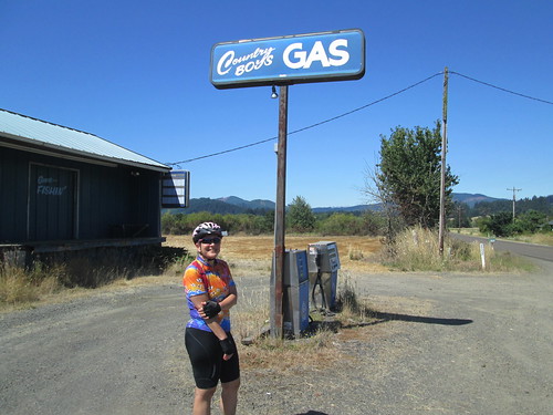
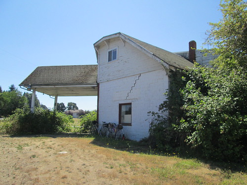
Brief stop in Crow, and then on to Bellfountain, where we stopped for pictures at the abandoned gas station.
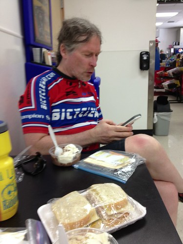
The best stop ( and conveniently a control) was Monroe. The Dari-Mart in Monroe dishes out a generous "single serving" of ice cream. Mmmmmm. Two flavors. They also have a deli counter, so I ordered up a turkey, cheese, and pickle sandwich to go. It was some distance to Alsea, with a climb in between.
Before we got to the sustained climb, there were lots of short, steep little climbs. Ate half the sandwich along this stretch. The pickles made it.
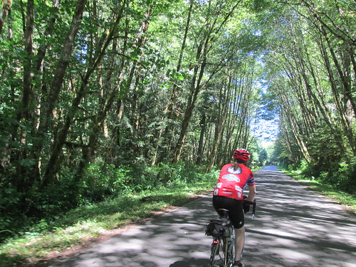
The climb up was nicely shaded and very low traffic. Not too steep. I did stop to turn on the rear blinkie; with the curves and shade I wanted that extra bit of visibility. Well, mostly it wasn't too steep. Michal said we'd see the summit around the next corner, and his gps was a couple hundred feet short. Well, yes, we could see the summit, the grade increased, we lost our shade, and we found that missing 200 feet :-)
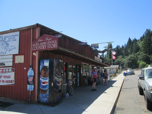
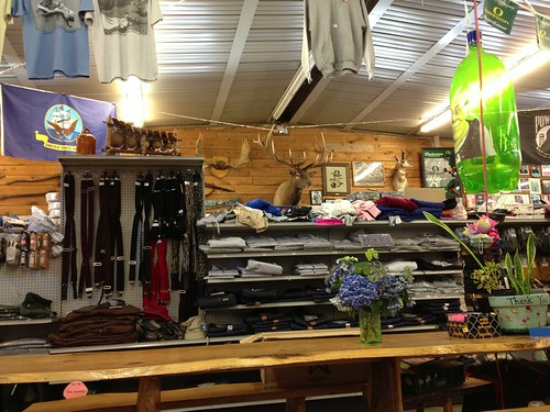
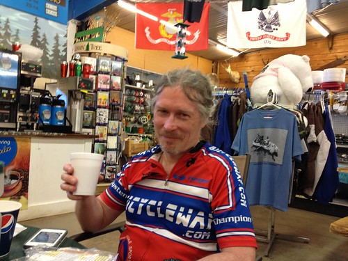
After the descent there was a relatively flat stretch through a river valley, and, eventually, Alsea. The stop there is John Boy's Mercantile. Very definitely a general store. I ate the other half of my sandwich and got a drink. Lots of locals coming through, socializing, and sometimes shopping.
Then we had the climb back over. Michal said it would be reasonably flat for about 10 miles, them we go up. A couple of miles later we started up... Hmm I don't remember this. Anyway, ups and downs, mostly up, but a gentle grade, shaded, not hardly any traffic.
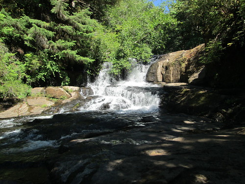
We stopped at the falls for pictures. A bit of a hike to get down to them; cautious going in cleats.
More gentle climbing, then a fun descent. Top had some tight turns, I had been forewarned. Fun descent. We passed through Monroe again. Michal got some deviled eggs to share, but I reached down for another one and they were all gone.
By now, it had gotten much warmer. The wind was from the north and west, so headwind for the outbound, and a bit of the inbound.
Info control at the Long Tom Grange (not involving any older guys wearing shrubbery), then off to Alvadore. It was definitely hot by now. In theory, we had a tailwind, but I couldn't scrape up much over 14mph... Which meant I needed something to eat. Found something in the front bag, which helped out quite a bit.
The last on-course control stop was in Alvadore. I think I ate something (don't remember), topped up the bottles and drank a Red Bull.
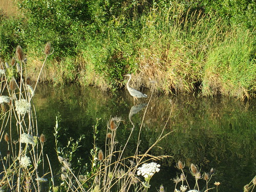
Then we had the final push south and east. Got onto the Fern Ridge Trail, and followed that into Eugene. We saw a heron.
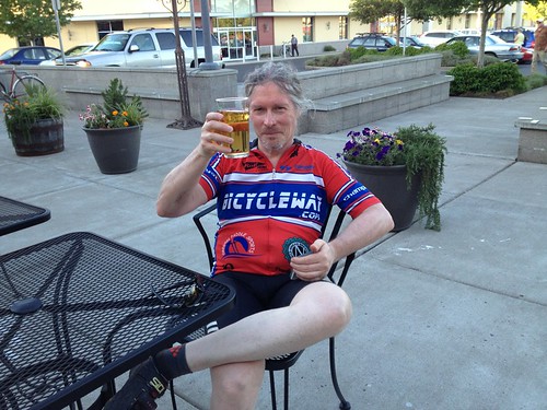
We opted to sit and enjoy some pear cider at the finish, which kind of precluded riding up the hill.
All the pictures here: http://www.flickr.com/photos/lynnefitz/sets/72157634734845305/
Total miles, avg, and time will be updated later :-).
A beautiful ride!

No comments:
Post a Comment