Showing posts with label 2017. Show all posts

Monday, November 20, 2017

Darting into Darkness

Several months ago, we heard that Willamette Randonneurs was planning a pre-eclipse Dart Populaire to Susan and Jeff's property in Willamina, right in the center of the eclipse totality.  Ray and I were in.  It turns out that I live pretty much the required 120km from the finish, following the established cycling routes.  Route design was easy.  Only question was the location of the 6 hour control.

Eventually the sign-up information came out, and I recruited 3 more riders.  Sent a few others over to Holden's team, as I was full up.

The 6 hour control could be in Amity, which would put us 20 miles out, rather further than 25km out.  The 25 km boundary was right at the corner of Ballston and Broadmead, or, as we say... nowhere.  Nothing at that corner.  Fields.  The Ballston Park was just a smidge too close.

Ray's wife Barb offered to lurk at the corner and sign our cards, and, indeed, the cards of any other teams coming that way.  There's only so many ways into Willamina :-)  Settled.

And, it being the day before the solar eclipse, every media outlet was predicting heavy traffic, empty stores, oh, and it was going to be a warmish day.  I could see the Center Market in Dayton being totally out of Payday Bars and beverages.  While our route was small towns and tertiary roads, we just didn't know...  I thought I'd include an extra sandwich and extra bottle of water.  Just in case.

Sadly, Ray had to bow out of riding, because Barb hurt her shoulder and couldn't drive, so they'd both see us at the 6 hour control.  And at the campout afterward, of course!

Four checklists - going on a ride with questionable supply chain checklist, team captain checklist, oh, yeah, we are camping, so camping gear checklist, and clean the house up for the overnight guest checklist.  My brother's big dome tent showed up the afternoon before.  He thought we might have been the last users 20 years ago.  We pitched it in the yard just to make sure.  Nope.  One of the poles was broken.  The last user had generously added a pole repair KIT.   Boy, you drop the elastic and it just zips right down into the poles!  The repair kit was very bare bones - suggested you TAPE the elastic to the metal wire, yet included no tape.  Finally, got the tent up and verified everything was present.

As Fitz was driving over from work in North Plains, all the camping gear and clothing were installed in the car immediately thereafter.  This event would provide all food and beverage, so we didn't have to worry about that.  I was promised endless coffee the next morning.  Fitz did include a few bottles of his homebrew beer (a CDA and a Brown Ale) to share.

Chris T appeared later that evening, and we got all organized.  We had to get her last bag of stuff into the car before Fitz took off, which was duly accomplished.  Her daughter had everything else and would meet her there.

We were up at 7am, had a hearty breakfast (I am a big fan of cooked protein in the morning for rides), and coasted down the hill to the start, Jim and Patty's Coffee.  There was a cyclist already there, and it was indeed David, the one team member I had not met in person.  Kevin B showed up shortly thereafter and we had a great reunion; I haven't ridden with him, or even seen him in a few years; he'd relocated to Washington for awhile, but he's back now.

9am.  Time to go.
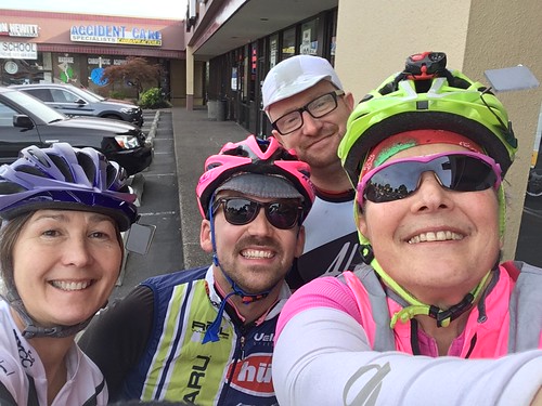
Dart into Darkness start photo - Chris, Kevin, David, and Lynne

Beaverton to Forest Hills Golf Course (Cornelius)

This was mostly suburban riding until we got south of Hillsboro on Minter Bridge Rd, although all the streets were bicycle-friendly.  Once we popped out of the Urban Growth Boundary, I could point out all the quilt blocks on barns to Chris - she's from out of town and had never ridden here before.

The snack bar at the golf course was open; I warned everyone about NOT filling their bottles at the outside faucet.  Worst tasting water ever.  I got a V-8, we all had our cards signed, and didn't waste too much time there.  I prefer to have time to waste later.
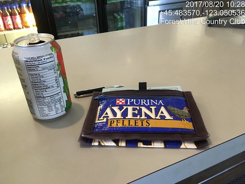
Dart into Darkness, first control at Forest Hills Golf Course.

Cornelius to Dayton

Again, fairly routine riding.  The traffic was maybe a bit heavier, but it was a Sunday morning, rather than a Saturday, so maybe that's typical.  Couldn't tell.  Got to Dayton, and the Center Market was well stocked.  I went for a big ice cream bar.  We sat on the stoop for a bit and ate whatever we'd bought.    No worries about time whatsoever.
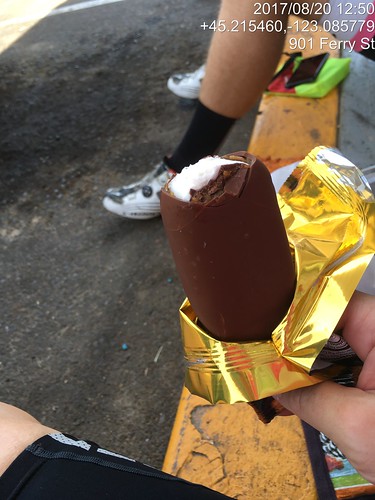
Dart Pop control ice cream pause in Dayton.

Dayton to Amity

Amity is maybe 9 miles along from Dayton.  It isn't a control, but it would be nicer to waste time there than proceed to the corner of Ballston and Broadmead.  We camped out at the gas station convenience store for about 30 minutes.  No shortage of snack foods there either.  I felt rather more overprepared than usual, which is saying something.
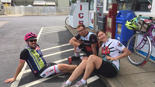
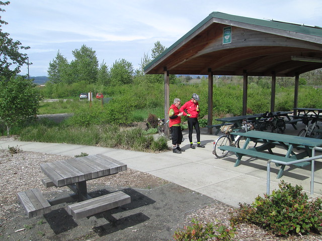
Dart into Darkness, chilling in Amity.  Kevin, David, and Chris.

Amity to the 6 Hour Control

I spent this stretch chatting with David, as I hadn't met him before.

5 miles later we were at the 6 hour control.  Ray and Barb had put up a pop-up, some lawn chairs, and had a cooler of drinks and fruit.  Holden's team was already there.  At this point, Kevin pulled out a flask of some sort of whiskey, and was attempting to share it around (!)  The San Francisco team pulled up and joined the fun.  They were planning to ride Michael Wolfe's SR 600 after the event.
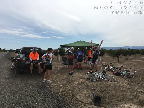
Dart into Darkness Dart Pop 6 hour control.  At least 3 teams here now.  Two more showed up shortly.

6 Hour Control to Willamina finish

Promptly at 3pm, Holden's team departed.  We gave them a few minutes and then set out ourselves. The Eugene team was coming up as we left; their control had been further back on their route.  The expected headwind outside of Sheridan failed to materialize.  I didn't miss it.  We toured the Armed Forces memorial by the river in Sheridan, to eat up more time.  Personally, I haven't ever experienced this repeated excessive time-wasting on a team event. :-)

Eventually we continued on to Willamina, with another planned stop at the shiny new gas station convenience store.  A couple of teams rode by, but declined our invitation to hang out.  Finally with only 3 miles to go and about 40 minutes in which to accomplish it, we headed out.  Willamina Creek Rd is very quiet (the c-store guy assured us that there were very fast drivers on that road.  I've ridden on it twice and not seen another vehicle either time).  Turned onto the gravel road, around the corner (there's the pond!), and then lost forward movement on the last steep bit, so walked it.
Dart into Darkness finish.  Kevin in the background.

Done, and still with 15 minutes to spare!  Susan said Fitz had arrived, but I didn't see him around. We signed our cards and handed them over.  I thought I'd get a beer first.  I also attempted to eat an entire bowl of potato chips.  Hand over the salt and no one gets hurt.  The rest of the teams finished in short order.

After that I went in search of our campsite - I had wanted to camp in the woods, so set off following the signs and little flags.  Just like Girl Scout camp, hiking through the woods to one's unit.  Found the woods campsite (I've been here before, but we walked in a different route), and Fitz.  He had just finished setting up the tent, so my timing was excellent.  After a bit, I got my bag and we walked back, him to socialize, me to get a shower.
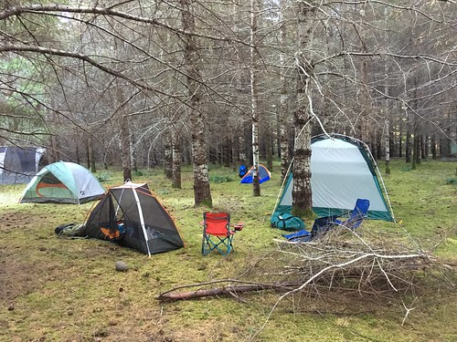
Post Dart Pop, Pre Eclipse campers.

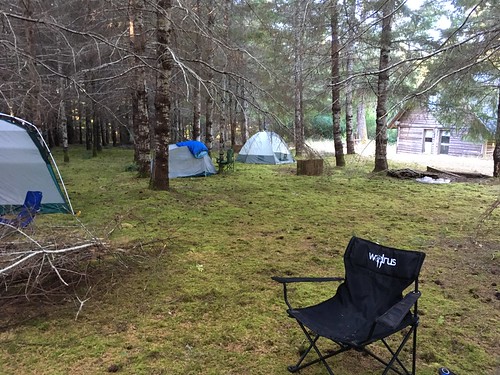
Dart to Darkness, camping in the woods

Dinner was ready immediately after that.  There were tables and chairs in the yard, with lots of visiting, catching up with folks who hadn't seen each other for awhile, and eating.

Eventually we all returned to our tents (another hike through the woods in the dark, great fun!).  Leisurely awakening the next morning; the endless vat of coffee was as promised.

At some point, I pulled on my eclipse glasses and looked up... "it's STARTING!".

Most of us relocated up the road on the hill with our camping chairs, fancy cameras, eclipse glasses, colanders and pinholes.
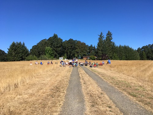
Eclipse Viewers, Chez Mendenhall, Willamina

There was watching through the eclipse glasses, watching through the colander projected on a piece of white foamcore, watching the temperature slowly drop (there was also a thermometer).  I noticed the temperature dropping, and then, suddenly, the light changed.  Waiting.  Waiting.  Waiting...

Diamond ring!

And then, totality!!!!  This was indescribably cool.  Accept no substitutes.  We could see contrails from all the planes flying around, and a 360 degree sunrise.

And then diamond ring again, and it was over.  Well, not really, but we did start heading back down to the food and drink, and breaking down camp.

Given the traffic, Fitz and I stuck around until 3pm, and headed out.  It only took us 2 hours to get home, rather than the usual 90 minutes.

Tuesday, November 14, 2017

Coffeeneuring Summary 2017

It was a quieter coffeeneuring year, but all 7 rides were duly accomplished.  Two Coffee Outsides, but brought from home, not brewed on site.  My successful theme this year was No Disposable Cups.  The handy Contigo Autoseal West Loop mug did for the Coffee Outside, and some coffee shop stops, and I carried a thermal mug to the Verboort Sausage Festival, because they only have paper cups, which tripped me up last year.

#1 Coffee Outside on the Fanno Creek Trail

Bridges aren't slippery (yet). Coffee from home. I have upped my porteur bag game from previous years  12.6 miles.
Bleriot on the Fanno Creek Trail
#2 Solace Coffee

I had to get out between the bands of downpours, and saw a window. First, a trip to the fabric store, for the backing and batting to finish grandson #2's quilt, and then decisions, decisions. Which coffee shop? I settled on Solace, right by the Beaverton Police Department, and, bonus, a covered staple rack!
I ordered a Blood Orange Mocha, and settled down for some enjoyable reading on the squashy sofa.
The fabric store has nothing to lock to, and I do mean NOTHING. The kind cashier let me bring it inside. She said the owner had been asked about a bike rack before and decided they didn't want to spend the money. I wrote a customer comment note; keeping up the pressure.

3.85 miles.
Followup on the bike rack - I spoke with the manager when I was there for a 3-day weaving class this past week.  She's not got the power to have a bike rack installed, but I am welcome to bring the bike inside any time.  I'll take it.
In between the bands of rain (I'm right near the two 51 degree markers)
Image may contain: bicycle and outdoor
Outside Solace Coffee


Image may contain: indoor
nice place to sit and read


Image may contain: bicycle
Inside the fabric store

#3 New Season's Grocery (and place to get a nice lunch and coffee)

I was planning to ride over to the bagel store for coffee and a bagel, and some bagels to bring home, but the spouse suggested instead going to New Seasons, where they have really good bagels, coffee, and other things if one doesn't want a bagel for lunch. Sure.
We took the direct route over (1.8 miles), but a slightly different route home, to enjoy the NEW NEW NEW paved path over what was a sucking dirt mud pit desire path for as long as I remember (36 years!) and the new path by Beaverton Creek.
New Seasons has perfectly adequate bike parking.
4+ miles.

Image may contain: tree, sky, plant, cloud, outdoor and nature
fall foliage on Millikan Way
Image may contain: sky, basketball court and outdoor
formerly sucking mudpit desire path
Image may contain: food
Right, coffee and bagel


Image may contain: sky and outdoor
Beaverton is going to get a food cart pod!


#4 Edge Coffee

 Millikan Way, end to end, a flu shot, and coffeeneuring at Edge Coffee. 7.4 miles. Portland Clinic has bike parking, Edge Coffee doesn't appear to. I locked to a chair. Chai Tea Latte. I'll have to update my blog post on SW Millikan Way; with the addition of the path from the east end to SW Lombard (previous coffeeneuring post), it is now continuous for pedestrian and bicycle traffic, if you don't mind hopping a few curbs. The "no disposable cups" theme continues.
Image may contain: 1 person, bicycle, table and outdoor
Bleriot hanging at Edge Coffee

Image may contain: shoes and outdoor
Bleriot parked at the clinic


Image may contain: tree, sky, outdoor and nature
The Westside Trail


Image may contain: bicycle and outdoor
Beaverton Creek


Image may contain: tree, sky, plant, outdoor and nature
Hall Creek Trail
#5 Coffee Outside, Council Crest Park

We are trying to get our friends K and R more accustomed to riding on the streets, so offered up the Council Crest Loop from our house. Half trail, half streets, a climb there and a fun descent back. Especially today as it was very blustery, and the tailwind home was wonderful.
Image may contain: bicycle, tree, outdoor and nature
Council Crest Park, views of Mt St Helens, Mt Adams, and Mt Rainier
15.5 miles, coffee from home.


Image may contain: tree, plant, sky, outdoor and nature
Fairmount Drive
Image may contain: sky, tree, outdoor and nature
And Mt Hood, from the far east point of Fairmount Drive
#6 Annual Verboort Sausage Fest

Got coffee from the industrial sized urn, with powdered creamer and sweetener. Also a sausage on a stick. Bike parking anywhere. 3+ miles back to Forest Grove. Brought my own mug; the no disposable cups game is still strong.


Sausage on a stick and coffee.  In my own mug.
#7 Jim and Patty's Coffee

The bike rack situation is unchanged (bent up wheelbreaker, "our employees don't complain"). Rode to the library to get a long awaited book; not open for another 35 minutes. Went to the grocery (eggs, ginger root, carrots), then back to the library. Got the book, then off to Jim and Patty's to get a Borgia Mocha in a ceramic cup, and settled down to enjoy the first chapter of La Belle Sauvage. 6.05 miles. 4 lock/unlock repeats. You can see Bleriot through the door, locked to a table and chair.
Borgia Mocha and The Book of Dust


Monday, July 10, 2017

Revisiting the Columbia River Gorge

I can't remember the last time I rode in the Columbia River Gorge.  March 2014, when I finished my own perm out of time?

This month's ORR 200k was the Hollywood-Wind River 200 (this version matches the cue sheet).  I'd ridden it before, back in September 2011, when I was in MUCH more fit.  But as I'd survived Dayton-Beaver, I figured I'd finish in time, if not in style.

Recruited Michal to ride with me; he and Cyndi showed up the night before, in time for dinner.  Given that the ride was starting at 6am, we'd need to get up at 4am, so early bedtime all around.  The plan was for me to drive to the start with them, and Fitz would show up at the finish (McMenamin's Kennedy School) to join us for dinner and take me home.

(There are no pictures, although it was a gorgeous day.  Sorry.)

We all met at Wilshire Park.  I was the only woman riding.  Hmph.  Checked out the park's facilities, but it was too early and they weren't open.  We'd find something suitable along the way.

Off at 6am, headed north to the Columbia River.  We had a brief confusion at the NE33rd/Columbia Blvd overpass (cue was hidden in the discussion rather than on it's own line), but quickly resolved it and found ourselves at the west boundary of the airport.  I suggested we ride on the bike path, rather than Marine Drive, and we did that whenever possible.  Best of course when the path is on the river side of the road :-)

Into Troutdale, with a brief stop at the McD's (not for food :-) ), and out the Historic Columbia River Hwy (US-30).  It is up for about 26 miles, but not oppressively so.  Michal wanted to turn onto Bell Rd, but I hauled him back.  The mist/clouds got very thick at this point, almost to "drizzle".  I knew it wouldn't last long, and hadn't even packed a rain jacket.

Popped out at the top and dropped down to Vista House, our first control.  From there, we had the fun descent down to Latourell Falls, and kept dropping for awhile, eventually arriving at the gentle rollers heading east to Warrendale, then the less gentle rollers to the end of the road (unless one wants to get on I-84) and the start of the new part of the path to Cascade Locks.  I love riding the path, but prefer it in the other direction.

Hefting the bike down the (50+, with landings every 10) stairs was a bit painful, but we got there.

Ruckel Creek was a shadow of its former self, but still pretty.

We paused very briefly to refill bottles at the park in Cascade Locks and headed over the bridge ($1 toll for bicycles now).  The crosswinds were pretty spectacular, but I got a few chances to look down and watch the bridge deck vanish as I rode along.  The fast boys were heading west just as we arrived at SR-14 on the Washington side.

We continued east to Stevenson, for a food stop at the grocery.  Terrible sandwich - too much bread, and the turkey and cheese were completely without flavor.  Ick.  Then again eastward to the turn onto Wind River Rd, passing through Carson after the turn.

Wind River Rd climbs almost 1000 feet in 8+ miles.  The tailwind wasn't really there.  Passed the RBA lurking in Carson on the way up; she said she got a ride in after we had all finished that part of the route.  We saw 4 or 5 riders headed back, including Kevin L.

Now, I have ridden this route twice before, and knew where the info control would be.  By this point, our bike computers were not agreeing with the cue sheet; I used the road mile markers, and started looking for the control after we passed by mile marker 8.  Ah, there it was (zipties on the road sign).  Saw Michal further down the road, but I was too wiped to yell.  I figured he'd see me and come back, and eventually he did.  Talking with Kevin later, he said he couldn't find the info control either.  Ate a little something, and headed back down.

Now, THAT was fun!  We could see the Oregon side of the river, and the road stair-stepping down back to SR-14.  Then we hit the Headwind.

We paused again in Stevenson for more water.  I think I drank a quart just standing there, and ate a few more things.  We'd have that headwind all the way back.  It was weird, though - it would blow really hard, and then not much; probably mitigated by the trees, and the road curves following the river's edge.  I had been worried about time when we got to the Wind River Rd control, but not so much after the return.  And, indeed, the headwind wasn't delaying us nearly as much as I thought it might.  Another brief pause at Beacon Rock (Michal was ahead and waiting for me.  There was definitely some of that today), then onward.

Lots of wildflowers in bloom on both sides of the river - sweetpeas, lupines, batchelors button, foxglove, and many I didn't know the names of.

At mile 91, the last big climb of the day appeared.  We chugged up SR-14.  Michal, of course was ahead.  I may have walked a bit.  The turn was onto Krogstad Rd, which is unsigned, and probably doesn't even rise to the level of "driveway".  Like I said, I have been here before, and knew what I was looking for.  As it turned out, the fence is gone, and the house is repainted, but the road sign on the other side did say "Riverside", and it was a bit past where the climbing lane went away.

So I was there, but no Michal.  Ok, maybe he'd gone on and would be found further along.  Krogstad is very quiet and very shaded, but no less climby :-)  A bit more walking, while eating a Payday bar, more riding, finally at the intersection with Canyon Creek.  No Michal.  At this point, our texts crossed in the mail.  He'd overshot the turn and waited for me after the turn, then came back.  Didn't find me, but found Kevin, who'd stopped in Carson.  So I texted that we'd meet up at the next control (Washougal Mercantile), and continued on.  And finally, downhill.  A slow downhill to start, but then it dropped a bit more.  After a few miles of this, I found myself at the store, and bought an ice cream bar and a Coke.  The staff hadn't seen any other riders since 2:20 (they were well-trained in the signing of the cards by now).  Halfway through the ice cream bar, Michal appeared, and a time after that, Kevin.  We all had a good sit and eat before heading on.

Michal: "what's it like now?  No more climbs?"  Nope.  Downhill to Washougal, rolling westward, a bit of a short pitch at Ellsworth, and that's about it. (He rode this with me the last time.  You'd think he'd remember.)

Washougal River Road was a gentle descent, only needed a bit of pedaling to keep up a good pace.  Drivers would stack up behind us and then pass with little difficulty; only one yeller.  And the motorcycle that almost side-swiped me in Washougal; you'd think they'd know better.

Though Washougal, through Camas.  The new roundabout after Camas onto 6th/Old Evergreen Hwy is a very welcome addition.  Old Evergreen Hwy has terrible pavement, but it does look like some parts have been replaced.  About 12 miles out, we stopped and texted our respective spouses, and then slogged on.  I should have eaten something here.

Eventually we saw the I-205 Bridge high above us and knew the turn onto Ellsworth wouldn't be far.  Up Ellsworth, up onto the bridge (that was easier), and then, once on the bridge, downhill all the way to Oregon.  Other than riding on the bridge is really noisy (bike path is in the middle of all the lanes), way fun.

We then navigated south of the airport, crossed over Lombard and Columbia, wandered the neighborhoods a bit and finished.  Cyndi was out front looking for us, but we didn't see the RBA, so she watched our bikes while we got our cards signed at the desk (and in my case, stamped; all McMenamin places have delightful rubber stamps).

Fitz appeared, and my bike was secured in the car.  Michal, Cyndi, and Kevin also went off to secure bikes.  We got a table and waited for them to come back in.  The RBA came by and got my card.  After Michal and Cyndi came in, she got Michal's card, and also Kevin's (he elected to just go home).

Beverages were ordered, and eventually food.  Cyndi kept trying to get Michal to split something with her, but he thought he could eat an entire meal himself.  Fitz usually also tries to get me to split something, but he knew better than to try that after I had just finished a big ride. :-)

12:47 elapsed time.  I lost 3 lbs, but they mostly returned.  It will be nice when I am more fit and can finish this ride in less time.  Working on it.

Tuesday, June 6, 2017

A Challenging 200k

It didn't look good in Willamina.  I was on the verge of bonking.  It would be an 80+ mile drive for someone to retrieve me, and I didn't want that to happen either.  But we are getting ahead of ourselves.

Ray proposed his Dayton-Beaver 210k permanent.  I was pretty sure my engine wasn't yet rated for the initial climb, but he thought I'd make it.  Susan and Keith also joined in.

While preparing the food (Fig Newtons, furikake hard-boiled eggs, rice pudding, Kind bars, some gels, Brookside chocolate-fruit gel thingies, chocolate bars), I came to the realization that my massive jug of Carbo-Pro maltodextrin was empty.  I went to two local bike shops and came up empty.  Then I remembered!  The homebrew place out west in Hillsboro has maltodextrin!  Drove out there, and learned that most of the maltodextrin they sell is to folks like me :-)  Really good value, too.  Might go back and buy a 10 pound bag.

It wasn't supposed to rain, but the "mist" was pretty darn persistent on the drive out to Dayton (like Newberg, only 10 miles further along...).  I had my "it might raincoat" along.  Susan had a windbreaker.  Keith, in his recumbent, had a fairing and sock.  I don't think Ray had a rain jacket.  Fortunately, that was it; no more rain the rest of the day.

We met up at the parking lot across from the high school, and rode into the center of town, to take advantage of the public facilities and covered area for the pre-ride rituals.

Susan and I had ridden the earlier version of this route, in reverse, in pouring rain, 6 years ago.  I had never climbed up from the Carlton side, and, honestly, wasn't sure I ever wanted to.  But here I was.

The first 10 miles were reasonably flat as we rode to, and through Carlton, out Meadowlake Rd, which becomes the Nestucca Access Rd, and then the Nestucca River Rd.  The road wandered around through the foothills, where there were farms, then more trees, and at about mile 14, we started the Real Climb.  It was pretty.  I got to admire some parts of it at greater length, because there was some walking.  The other three riders would regroup and wait for me, or sometimes ride along.  Eventually I found them at the reservoir, which is the first summit.  All the clothing I took off was restored.  The climb summits at 1999 feet, drops about 200 feet, then regains it over a short distance.

Then we had a beautiful, gorgeous descent along the Nestucca River, which went on seemingly forever (really, 35 miles), eventually dropping through the Siuslaw National Forest to Blaine, and then Beaver.  There was a couple miles of gravel, but it was well-packed, and not an issue.  Once I popped out of the forest near Blaine, I could every so often see the others up ahead, but didn't catch them until the control at Beaver.

I had finished both my bottles, so dealt with refilling them (one Gatorade-maltodextrin, the other plain water), and bought a couple of Payday bars, for variety.  I'd been munching pretty steadily on the other food in my bag all along.

We then headed south on Hwy 101 to Hebo, where we'd turn back inland on Hwy 22.  Not that we were on the Pacific Ocean; that was still a few miles further west.  Hwy 22 climbs up to Sourgrass Summit, possibly the lowest (679 feet) pass over the Coast Range.  By now we had a tailwind, it was sunny, with lots of shade, and the climb was very gentle.  Easiest 15 mile climb ever.

From there we enjoyed the descent to Grande Ronde, passing through, but not stopping.  While we were riding on Hwy 18/22, a couple of riders went by, one with a very small backpack and a teeny bit of luggage on his bike, the other with possibly less stuff.  I didn't get a chance to chat with them, but the others did - they were participating in the Trans-Am Bike Race, which had started in Astoria.  Obviously on a mission.

We, on the other hand, as soon as we crossed the bridge by Fort Hill, turned off the road onto a dirt path, and continued on Yamhill River Road, which is ever so much nicer and quieter than Hwy 18/22.

Shortly thereafter,we were in Willamina (I could almost hear Susan thinking: "I could turn left here and be home in 3 miles!"), at the shiny new gas station/c-store.  I had sucked down a mouthful of straight salt a little while back, but it didn't seem to be taking effect.  Took a couple of ibuprofen.  I then wandered aimlessly around the store, picking up a Coke, a banana, and some jojos.  Susan said she had an antacid, because there didn't seem to be any for sale.  So I sat there and shook, ate the banana, sipped the Coke ("ah", said Susan. "You've got the red ambulance!"), and contemplated my options.  Tried a jojo and decided they weren't a good choice at this point.  I think Ray ate them all :-) Asked Ray to get my wind vest for me (no, it wasn't cold.  I knew very well what was happening.)  Took off my shoes.

And then, miraculously, I suddenly felt much better.   I need to remember this combination of potions.

We then headed east, but not to Amity.  There was a tailwind, even.  Rather than taking the traditional route to Amity, and then a short 9 miles to Dayton, Ray routed us down to Perrydale (shades of the Hillsboro Dallas perm), and across the valley to Zena Rd.  I had a brief moment of shock in Perrydale, when I noticed that the old fire engine was gone and its structure torn down.  Darn.

The pollen count was pretty high.  I was enjoying the scent of wheat and grass.  Susan, not so much.  She was sneezing her head off.

Last climb coming up.  I had bad memories of this particular climb on a very hot day a few years ago.  A bit more walking, then a fabulous descent to the Lincoln Store.  Keith was there when we arrived; he said the store closed just as he rode up.  We figured we all had enough for the last 14 miles.  I ate my last rice pudding, and we headed out.  Three more rollers before Hopewell Road flattened out, and then we were on Webfoot Road, the last stretch.  Parts of it seemed longer than they should have, but I finally crested the only big dip, and the Center Market in Dayton was right up the other side.

As we were now FINISHED, we bought unsuitable snacks (big ice cream bar for me), loafed on the front stoop, and finished filling out our cards. 210km, and under 13 hours.

Sunday, June 4, 2017

Finding those Covered Bridges

Oregon has quite a few covered bridges, so much so that one of the brevet routes is the Covered Bridges 200k.  There's a corresponding 400k, with a few more bridges (Eden's Gate), but I wasn't going there this year.

So a couple of weeks ago, I found myself with Ray and Kevin L (yay!  he's back riding again!), and some number of other riders, in Wilsonville getting some pre-brevet coffee.  Very civilized start, what with it being in a coffee shop with plumbing and places to sit and coffee and food.

My food strategy included hard-boiled eggs, Fig Newtons, Brookside Dark Chocolate snacks, and rice pudding, along with the usual collection of a couple of bars, gels, and Gatorade-maltodextrin drink mix.  And plain old salt.  I sucked some down halfway through the ride.

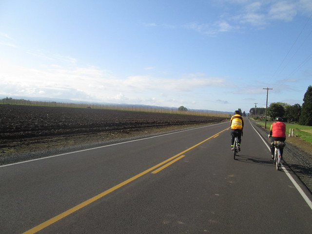
And so, off we went.  After crossing the Willamette River on the Boone (I-5) Bridge, we headed down the west side of the highway, working our way to south to Aurora, then up to Lone Elder and Meridian Road (didn't miss the turn this time), where we'd be for a good long while.

Getting close to Silverton

We quickly found ourselves at the tail end (not unexpected).  We did catch up to the group in front of us, but we stopped to visit the blue room at 91 School, and they didn't.

Ray

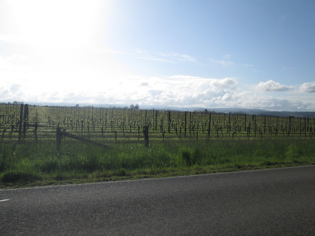
Baby Vineyard

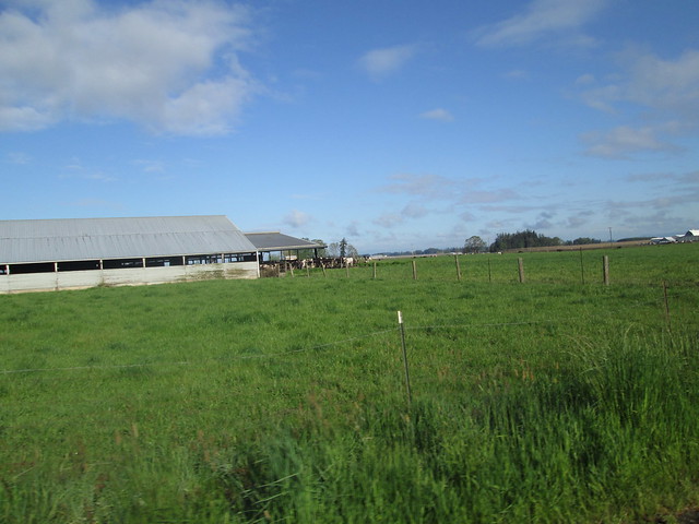
Dairy cows

We had a tailwind heading south.  Eventually we turned off Meridian Road, heading west on Downs Rd to the Gallon House Bridge.

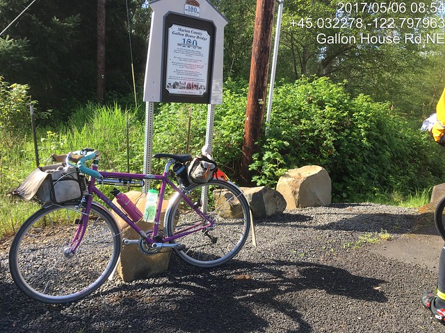
The Gallon House Bridge sign

From there we went into Silverton, and had a minor navigation miscue.  We thought we were headed out on Main Street, except we weren't and the expected climb out of town failed to materialize.  So we backtracked, and headed out to the Cascade Hwy.  How we got confused, I'll never know, because we've all only ridden through Silverton many, many times.

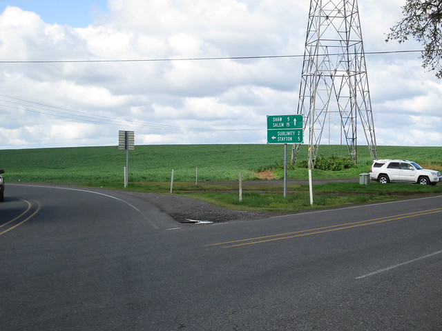
Towns which start with "S"

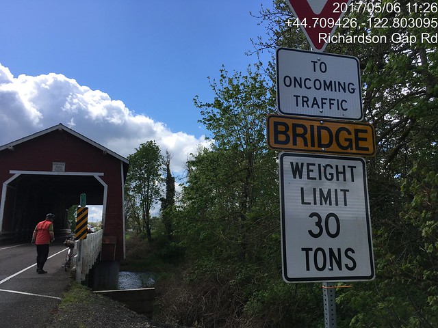
The Cascade Hwy hasn't gotten any more flat.  There's a big climb up to Riches Rd, then it goes up and down until just before Stayton.  We zipped through Stayton, and headed out to Cole School Rd.  Again, roller #2 won.  Sigh.  Excellent descent down Richardson Gap Rd, to bridge number two, the Shimanek Bridge.

The Shimanek Bridge

Then we rode over to Scio, the first timed control.  We found the folks right ahead of us, but they were leaving.  We went over to the grocery and stocked up there.  I also bought and consumed a sandwich.

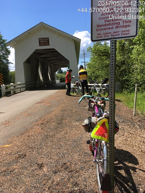
We now headed for the last two covered bridges - the Hoffman and Gilkey bridges.

Hoffman Bridge on Hungry Hill Rd

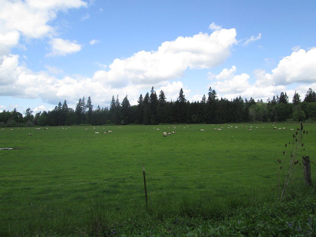
Fluffy Little Sheep

Kevin (no hands) and Ray, Gilkey Bridge

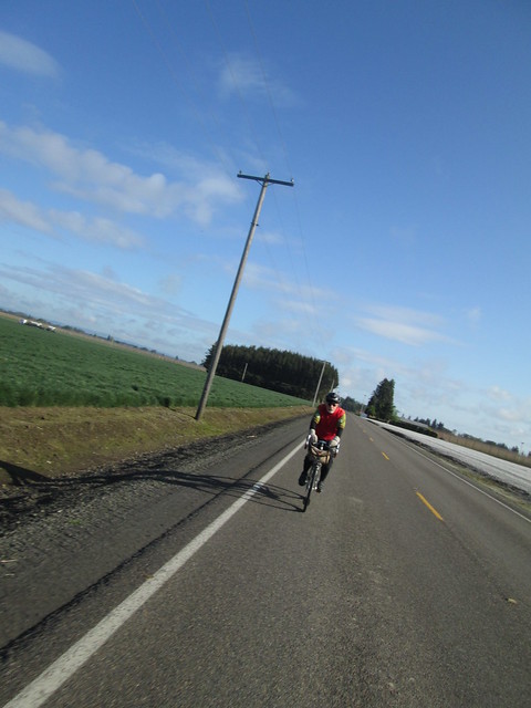
And then we headed north, into the wind.  Lots of rear-wheel-sucking on my part.  The last climb of any substance was approaching, Parrish Gap Rd.  It starts out fairly innocuously, then ramps up.  I came up on Kevin using his two foot gear, and joined in.  He though that would be the top and there wouldn't be any more painful bumps, but I remembered otherwise.  Sure enough :-(

We found Ray hanging out under some trees, and we all stood around for while, and then headed into Turner, and then west to Salem.  Hauled Ray back from a wrong turn.  "I made that same wrong turn last time and got a lot further!"

It did start raining in Salem, but it didn't last long.  We headed for the McDonald's, and all had burgers (ok, Ray's was chicken) and fries, and wolfed them down (how often do you hear the words "wolf down food on a brevet" come out of my mouth?)

36 miles to go, about 4 hours left.  I was a bit tense, so kept up the pace as much as I could.  Somewhere on River Rd, my bike computer speedometer checked out.  I thought to swap the battery in from my cadence pickup, but that didn't work either.  The clock still worked, so I could figure out how I was doing from the distance at each cue and the clock.

To make a short story long, we did finish with 40 minutes to spare.  We were relaxing in the coffee shop when the folks just ahead of us came back in to visit, along with Cyndi (Michal was riding the 400k).

Changed Every Single Battery on the bike computer setup the next day.

Wednesday, May 3, 2017

Where'd that Nice Weather Come From?

We've had an exceptionally wet winter/spring so far.  As the joke goes "it has only rained twice - once for 45 days, and then for 35 days".  Riding has not been happening.  It isn't so much the RAIN, but the accompanying floods and thunderstorms.

Ray was casting about for company on his North Plains - Carlton perm pop.  I haven't ridden it since Halloween, 2015.  Time to get back out there.  Kevin L, who has not been riding much for the last couple years, but was a consistent ride companion before that, also joined us.  Excellent!

Epic Ride Weather's Prediction for the Day
We had the standard meet-up (note: niece A, who will, in a few weeks move from being Ensign A to Lt Dr A informed me that the proper term is "rally point") at the North Plains Mc Donalds.  As always, I get in line behind someone who doesn't know what they want, have never been to a Mc Donalds, and the guy (who is nice, but) running the cash register is super chatty.

Pre-ride faffing, signing of the release, discussion about team formation for a Will Rando dart pop (or maybe it is a Dart.  Route planning for the dart pop would be easier), and eventually we were off.

Headed down Vadis Rd, Kevin was explaining why he was on his plastic bike and not his Rawland: "it is in between saddles".  I asked him how many bikes he had.  After much mental calculations... "Do I really have 13 bikes???".  Heck, he could have borrowed a saddle from one of the others!  Another person to mention when the spouse thinks my bike collection is excessive.  Actually, he can't now, because he's got just as many as I do.

I had started out the day with arm and knee warmers.  Ray and Kevin had on jackets and baselayers.

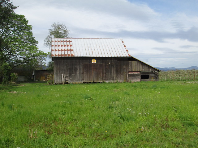
Heading down to Verboort on Evers Rd, we found two recent additions to the Washington County Quilt Barn Trail.  If RUSA ever allows photographic proof of passage, I might make up a perm pop which visits many of them.  Although I could come up with some lame info control questions, I suspect most will go for the picture proof route.

Quilt block on NW Osterman

Quilt Block on NW Osterman

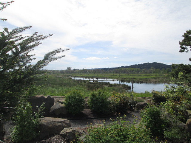
There was a substantial pause at the Fern Hill Wetlands.  After this one, I reverted to my "I'm going now; you'll catch up" practice.  The wetlands plantings have grown, and the water is wonderfully high.  Lost the armwarmers here.

Fern Hill Wetlands

Ray and Kevin discussing bike builds

There was a noticeable headwind, which boded well for the return.

The route itself is relatively uneventful, but for the One Hill.  It is a steeper climb from the north, but paved.  Withycombe (the descent) is gravel, steep, and this day, much loose gravel.  There was a lot of trepidation, but I did successfully descend.  I wasn't worried so much about the climb on the return, because it is a lot slower.

Ray, Carlton elevator, and perm card at the Carlton Bakery
We arrived at the Carlton Bakery to find it full of bicyclists, also out enjoying the nice weather.  Fortunately, they were all leaving, so we ordered our pastries and coffee, and had an outside table to ourselves.  Removed the knee warmers.

And then we headed back.  The tailwind was an excellent push.  I did end up walking the last bit of Withycombe, because I lost my line and had a choice of stopping or toppling.

Kevin and Ray at the summit of Withycombe Rd.
Yamhill elevator
Fini
Sun.  Tailwind.  Not a lot of traffic.  I even got sunburned.  This was a great day.


Wednesday, April 5, 2017

Weaving, the Original Programming Project

I just properly used the Excel SUMPRODUCT function to calculate the number of heddles I'd need on each shaft for my upcoming Summer and Winter weave structure project.  It is a real pain to have to move the heddles around once threading has started.

Here's the draft:


Summer and Winter is one of the ways where weaving gets, oh, complicated.  It is a block structure, where groups of ends (warp threads) can be aggregated as necessary to get the end result.  Software people, think subroutine.

In Summer and Winter, each block has 4 threads, and, with an 8 shaft loom, I can have 6 blocks.

Here's the profile threading draft:


As you can see, there's a start, a repeat (3 times), and a finish.

The numbers at the far right are the count of each block in the repeat.

I then totaled up the number of blocks for threading:

blocks
start/end pattern  total
A   2     6
B   7     21
C   4     12
D   6     18
E 4 4     16
F 9 9     36

Then created a table with the count of each heddle per shaft used in each block, and did the SUMPRODUCT thing with the total number of blocks and the heddle count within each block.

Heddles per shaft
1 2 3 4 5 6 7 8
A 1 1 2          
B 1 1   2        
C 1 1     2      
D 1 1       2    
E 1 1         2  
F 1 1           2
109 109 12 42 24 36 32 72

So, 109 heddles each on shafts 1 and 2 and much fewer on the other 6.  Which says I don't have to move any around, and can get to beaming on and threading.

I also had to do calculations to work out how to get complete pattern repeats in the width and length - there are 128 threads in the pattern repeat, and I wanted to weave 22" wide.  It worked out to 20 epi (sett, ends/threads per inch), including a selvage.  There was a bit of modeling to work that out, also accomplished via Excel.  There will be 3 pattern repeats width-wise and 5 length-wise.