Showing posts with label sweetpea. Show all posts

Saturday, October 26, 2019

SIR Fall 2019 Dart Pop - Team Shaodach

Friend Susan noted at some point this summer that I’d better cross over my Mondial distance while the weather was still nice, if I wanted people to ride with me. She did have a point.  Looking at the calendar, I couldn’t find a good weekend to invite folks to join in, but the SIR Fall Dart Populaire was at about the right time/distance point, and there would surely be a lot of folks I had ridden with over the last 12 years at the finish.

I mentioned this to Ray.  He secured approval (and transportation) for the venture, so I set about recruiting some others to fill out our team.  Michal, of course, because we did a lot of riding together before he decided to be fast and longer distance and I got slower.  And RB, because we’ve been riding together with Ray.  Mind you, I met Ray on my Very First 200k back in 2007 (The Birkie, original route).  We rode along together for awhile, and have been riding together off and on since then.  Michal became a riding partner in early 2011, when he rode up to Cecil and me and asked to follow along, because we looked like we knew where we were going.  He encouraged me to go for the Super Randonneur, something I thought I’d not be able to accomplish.

So.  Foraged around for something to create a route from, shortest viable distance of course.  I borrowed Michal’s fleche route, trimmed off the ends, moved the finish to the event finish point, and started casting around for a start.  Found the Carnival Market, a convenience store in the Westside Hwy, sitting all by itself, and, on Susan O’s advice, moved the route to Military Rd, rather than going through Vader.  Something about Pleasant Hill Rd, Berry Rd, and loose dogs.  There was a steep climb at the start of Military Rd, but it wasn’t long.

Haunting Epic Ride Weather, the forecast finally settled on a very small chance of very light rain and a tailwind or quartering tailwind the whole way.  Doesn’t get much better than that.


Michal and Cyndi drove up the night before, RB showed up bright and early on the day, and we were loaded and on the road by 7am, arriving at the Carnival Market before 8am.  Ray and Barb pulled in right after us.  As we could not start riding until 8:30, there was a lot of standing around, kicking the tires, some spirited discussion on tubeless tires, clipless pedals vs flat pedals (me, aside to Barb: “gonna be a long 8 hr ride”), clothing rearrangements (warmer? Need the rain gear?) and such. (For the record, three riders with flat pedals, one with clipless pedals and hotfoot issues, one rider with tubeless tires and a slow leak).  Michal, who holds that there is never a wrong time for ice cream, bought and consumed an ice cream sandwich.

By Cyndi Wenks

Finally, time to go.  Starting photo taken and off we went, into the light fog and mist.  First stop was 1.5 miles along, for a bathroom break, as the Carnival Market does not allow use of their bathroom.  The Westside Hwy rolls along, and the traffic can’t said to be light.  However, just about everyone was respecting everyone’s right to a relatively unstressful use of the public right of way.  We followed the Cowlitz River for most of the way, skirting around the west side of Castle Rock, and, just after 18 miles in, started the steep climb onto Military Rd. I did walk, but it wasn’t long.  Military Rd was wonderfully wide open, the mist had cleared away, and the views were fabulous.  On my first STP I’d ridden the northern stretch from Napavine to Winlock HS in 2003, but I was really tired at that point and not properly appreciating the view.

Ray: “Do we get a trinket for this ride?”  Me: “I get a trinket!”

Eventually we ended up in Napavine, where we briefly paused at the convenience store for snacks and beverages.  Continued on north, arriving at our first info/photo control at the corner of Rush Rd and Newaukum Valley Rd.  We took a selfie, not without a lot of snarking from Ray and RB.


Newaukum Valley Rd and Rogers Rd was another super peaceful bucolic section of the route.

We then merged onto Shorey Rd, which led us onto Riverside Dr/Louisiana Rd, just south of Chehalis, which was not nearly as pleasant, to put it mildly. We were to go around the back of the airport.  I was last in line at this point, and everyone else went straight, rather than turning left.  I couldn’t even see them ahead, and certainly couldn’t chase them down.  Called Michal’s cell (and HE was riding with a GPS, go figure), left a message.  Called Ray’s cell, and surprisingly, he picked up.  He reported that Michal and RB were headed back, and he’d be right along.

After regrouping, we proceeded along the supremely peaceful and untrafficked Airport Rd, to our second info/photo control at the golf course.  By now, Michal’s tire was making him a very bad ambassador for tubeless tires; it had a slow leak and he had to keep pumping it up. Ray and I offered him tubes, but he thought he’d keep on the same path unless it got rather worse.  (see earlier note about flat vs clipless pedals and tubes vs tubeless.  Post ride note: a week later, it did seal up.)


We then had to turn left onto Airport Rd, which was very high traffic and no signal.  Michal noted a bike path on our side of Airport Rd, and “let’s take THAT.”  We did, and it was much nicer.  However, we were entering Centralia, graveyard of empires (as in, I'm not sure I've ever ridden through it without getting a bit confused), and the bike path took us up to Mellen, which was past where we wanted to turn to be on the other side of I-5.  They’ve rearranged the roads into one-way streets, so, technically, we couldn’t turn right into Centralia and get onto Ellsbury.  However, there were several handy crosswalks and a sidewalk, so we did work our way over to Ellsbury with less trouble than we might have had.  I’ll remember this for the future.  Maybe the Airport Rd routing is good in the middle of the night, but not midday on a weekend.

Misplaced RB; he eventually showed up.  By now we were headed through Centralia, and Factory Outlet Row, home of many fast food establishments.  I wouldn’t have minded pausing at the Burgerville, but it was now only 12 miles to our 6 hour control, and we all had enough food with us to get there.

Riding past the Factory Outlets was rather not fun, too many entrances and exits and junk on the road, but once past that, it wasn’t too bad.  I have a fairly high tolerance for heavier traffic, but don’t like debris on the road.

Again, falling off the back, found RB at the Great Wolf Lodge with a flat.  Michal and Ray were stopped a long block ahead; we waved them back, and had a bit of a break while RB fixed the flat.

We ended up on Case Rd, which is just not a favorite stretch of pavement for me.  Riding it in a downpour, wearing all my wool gloves and hats, in the middle of the night, staving off hypothermia, solo.... yeah.  This was the first time ever I’d ridden it with company.

However, right around mile 57.1, I did roll over 40000 cumulative RUSA km; all of us but for Ray, who was ahead, stopped for a commemorative picture.


A few miles later we were at our 6 hr control, with 15 minutes before we could depart.  Michal had tweaked the cue sheet to show time checks at each cue, and according to that, we could leave at 6:20 elapsed and, riding at minimum pace, still finish in time.  Which was good, because the Farm Boy service seemed a bit overwhelmed. Michal and I split a burger and fries.  I also had a Pepsi (the blue ambulance), and inhaled my half of the cheeseburger in about 2 minutes.  Six minutes after the control opened, we were back on the road.

There was a brief discussion on “we have to stay together now”, “together” being defined as we can see each other.  So we did stick together more than we had earlier, although we really hadn’t spread out all that much before.  There was also actual navigation required, so we definitely had to stick together because not everyone had a cue sheet visible.

The tailwind decided to make itself noticeable and useful, and we zipped along at a consistently higher pace (for me, anyway).  Once we got into Tumwater/Olympia proper, and I realized we had less than 10 miles to go, and a lot of time left, I relaxed.  We rode into downtown along the Deschutes Parkway, which was a better and more scenic entry than on Capitol Blvd/Capitol Way, and then proceeded to hit just about every red light through downtown.

One last hill (Puget St), and a bit more go to (by now, out of downtown), and there we were, at 4pm.

By Cyndi Wenks


Several teams were already there.  I promptly scored a beer and chips, and eventually started in on the food.  And visiting.  Found many people to catch up with, and met several new riders.

Victorious!

Monday, November 20, 2017

Darting into Darkness

Several months ago, we heard that Willamette Randonneurs was planning a pre-eclipse Dart Populaire to Susan and Jeff's property in Willamina, right in the center of the eclipse totality.  Ray and I were in.  It turns out that I live pretty much the required 120km from the finish, following the established cycling routes.  Route design was easy.  Only question was the location of the 6 hour control.

Eventually the sign-up information came out, and I recruited 3 more riders.  Sent a few others over to Holden's team, as I was full up.

The 6 hour control could be in Amity, which would put us 20 miles out, rather further than 25km out.  The 25 km boundary was right at the corner of Ballston and Broadmead, or, as we say... nowhere.  Nothing at that corner.  Fields.  The Ballston Park was just a smidge too close.

Ray's wife Barb offered to lurk at the corner and sign our cards, and, indeed, the cards of any other teams coming that way.  There's only so many ways into Willamina :-)  Settled.

And, it being the day before the solar eclipse, every media outlet was predicting heavy traffic, empty stores, oh, and it was going to be a warmish day.  I could see the Center Market in Dayton being totally out of Payday Bars and beverages.  While our route was small towns and tertiary roads, we just didn't know...  I thought I'd include an extra sandwich and extra bottle of water.  Just in case.

Sadly, Ray had to bow out of riding, because Barb hurt her shoulder and couldn't drive, so they'd both see us at the 6 hour control.  And at the campout afterward, of course!

Four checklists - going on a ride with questionable supply chain checklist, team captain checklist, oh, yeah, we are camping, so camping gear checklist, and clean the house up for the overnight guest checklist.  My brother's big dome tent showed up the afternoon before.  He thought we might have been the last users 20 years ago.  We pitched it in the yard just to make sure.  Nope.  One of the poles was broken.  The last user had generously added a pole repair KIT.   Boy, you drop the elastic and it just zips right down into the poles!  The repair kit was very bare bones - suggested you TAPE the elastic to the metal wire, yet included no tape.  Finally, got the tent up and verified everything was present.
As Fitz was driving over from work in North Plains, all the camping gear and clothing were installed in the car immediately thereafter.  This event would provide all food and beverage, so we didn't have to worry about that.  I was promised endless coffee the next morning.  Fitz did include a few bottles of his homebrew beer (a CDA and a Brown Ale) to share.

Chris T appeared later that evening, and we got all organized.  We had to get her last bag of stuff into the car before Fitz took off, which was duly accomplished.  Her daughter had everything else and would meet her there.

We were up at 7am, had a hearty breakfast (I am a big fan of cooked protein in the morning for rides), and coasted down the hill to the start, Jim and Patty's Coffee.  There was a cyclist already there, and it was indeed David, the one team member I had not met in person.  Kevin B showed up shortly thereafter and we had a great reunion; I haven't ridden with him, or even seen him in a few years; he'd relocated to Washington for awhile, but he's back now.

9am.  Time to go.

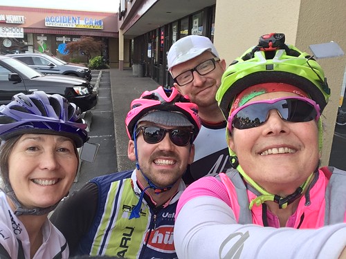
Dart into Darkness start photo - Chris, Kevin, David, and Lynne

Beaverton to Forest Hills Golf Course (Cornelius)

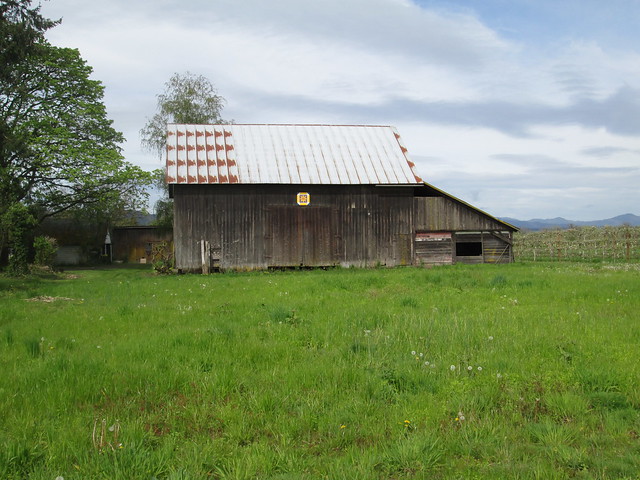
This was mostly suburban riding until we got south of Hillsboro on Minter Bridge Rd, although all the streets were bicycle-friendly.  Once we popped out of the Urban Growth Boundary, I could point out all the quilt blocks on barns to Chris - she's from out of town and had never ridden here before.

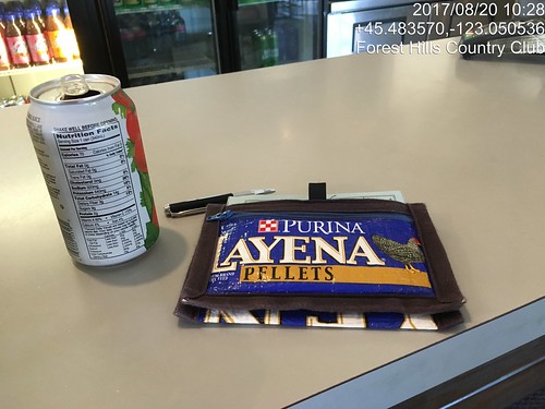
The snack bar at the golf course was open; I warned everyone about NOT filling their bottles at the outside faucet.  Worst tasting water ever.  I got a V-8, we all had our cards signed, and didn't waste too much time there.  I prefer to have time to waste later.

Dart into Darkness, first control at Forest Hills Golf Course.

Cornelius to Dayton

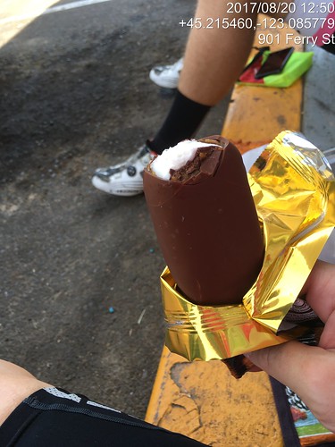
Again, fairly routine riding.  The traffic was maybe a bit heavier, but it was a Sunday morning, rather than a Saturday, so maybe that's typical.  Couldn't tell.  Got to Dayton, and the Center Market was well stocked.  I went for a big ice cream bar.  We sat on the stoop for a bit and ate whatever we'd bought.    No worries about time whatsoever.

Dart Pop control ice cream pause in Dayton.

Dayton to Amity

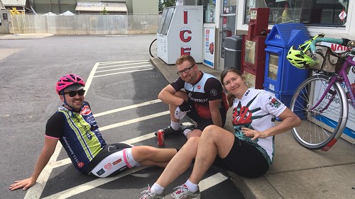
Amity is maybe 9 miles along from Dayton.  It isn't a control, but it would be nicer to waste time there than proceed to the corner of Ballston and Broadmead.  We camped out at the gas station convenience store for about 30 minutes.  No shortage of snack foods there either.  I felt rather more overprepared than usual, which is saying something.

Dart into Darkness, chilling in Amity.  Kevin, David, and Chris.

Amity to the 6 Hour Control

I spent this stretch chatting with David, as I hadn't met him before.

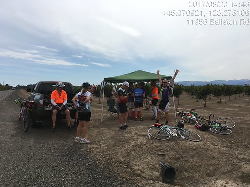
5 miles later we were at the 6 hour control.  Ray and Barb had put up a pop-up, some lawn chairs, and had a cooler of drinks and fruit.  Holden's team was already there.  At this point, Kevin pulled out a flask of some sort of whiskey, and was attempting to share it around (!)  The San Francisco team pulled up and joined the fun.  They were planning to ride Michael Wolfe's SR 600 after the event.

Dart into Darkness Dart Pop 6 hour control.  At least 3 teams here now.  Two more showed up shortly.

6 Hour Control to Willamina finish

Promptly at 3pm, Holden's team departed.  We gave them a few minutes and then set out ourselves. The Eugene team was coming up as we left; their control had been further back on their route.  The expected headwind outside of Sheridan failed to materialize.  I didn't miss it.  We toured the Armed Forces memorial by the river in Sheridan, to eat up more time.  Personally, I haven't ever experienced this repeated excessive time-wasting on a team event. :-)

Eventually we continued on to Willamina, with another planned stop at the shiny new gas station convenience store.  A couple of teams rode by, but declined our invitation to hang out.  Finally with only 3 miles to go and about 40 minutes in which to accomplish it, we headed out.  Willamina Creek Rd is very quiet (the c-store guy assured us that there were very fast drivers on that road.  I've ridden on it twice and not seen another vehicle either time).  Turned onto the gravel road, around the corner (there's the pond!), and then lost forward movement on the last steep bit, so walked it.

Dart into Darkness finish.  Kevin in the background.

Done, and still with 15 minutes to spare!  Susan said Fitz had arrived, but I didn't see him around. We signed our cards and handed them over.  I thought I'd get a beer first.  I also attempted to eat an entire bowl of potato chips.  Hand over the salt and no one gets hurt.  The rest of the teams finished in short order.
After that I went in search of our campsite - I had wanted to camp in the woods, so set off following the signs and little flags.  Just like Girl Scout camp, hiking through the woods to one's unit.  Found the woods campsite (I've been here before, but we walked in a different route), and Fitz.  He had just finished setting up the tent, so my timing was excellent.  After a bit, I got my bag and we walked back, him to socialize, me to get a shower.

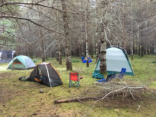
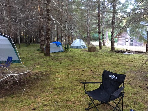
Post Dart Pop, Pre Eclipse campers.

Dart to Darkness, camping in the woods

Dinner was ready immediately after that.  There were tables and chairs in the yard, with lots of visiting, catching up with folks who hadn't seen each other for awhile, and eating.

Eventually we all returned to our tents (another hike through the woods in the dark, great fun!).  Leisurely awakening the next morning; the endless vat of coffee was as promised.

At some point, I pulled on my eclipse glasses and looked up... "it's STARTING!".

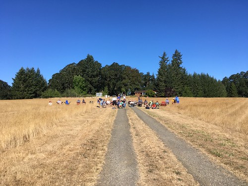
Most of us relocated up the road on the hill with our camping chairs, fancy cameras, eclipse glasses, colanders and pinholes.

Eclipse Viewers, Chez Mendenhall, Willamina

There was watching through the eclipse glasses, watching through the colander projected on a piece of white foamcore, watching the temperature slowly drop (there was also a thermometer).  I noticed the temperature dropping, and then, suddenly, the light changed.  Waiting.  Waiting.  Waiting...

Diamond ring!

And then, totality!!!!  This was indescribably cool.  Accept no substitutes.  We could see contrails from all the planes flying around, and a 360 degree sunrise.

And then diamond ring again, and it was over.  Well, not really, but we did start heading back down to the food and drink, and breaking down camp.

Given the traffic, Fitz and I stuck around until 3pm, and headed out.  It only took us 2 hours to get home, rather than the usual 90 minutes.

I Am Never Going to Catch Up - Rides since August

Sigh.  Not Keeping Up Here.  So you'll get a summary.

August

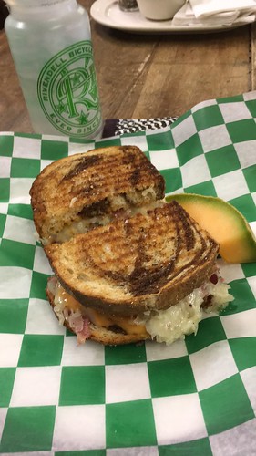
We were in Michigan in August, and I took cards and cue sheets for my 3 routes up there, as well as a registration form :-)  I now have left them in my storage box.  I decided to ride the 218km route to the Grand Traverse Lighthouse and back.  Getting there was uneventful; big lunch in Leland, pavement from heaven.

Lunch in Leland, MI.  Grand Traverse Lighthouse 218km perm.

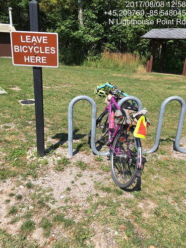
Grand Traverse Lighthouse control documentation.

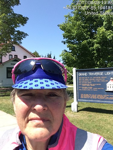
Grand Traverse Lighthouse turnaround.  Evidence of participation.

The day got hot.  The headwinds from the south were evil.  The hills were killer - not very high, but with the wind whipping in on the bare crests...  Ow.  My feet are telling me to not ever do a 200k wearing my Keen sandals ever again.  Long conversations with myself the last 40 miles.  I officially finished at the Blarney Castle gas station c-store, then met Fitz at Stormcloud.  Except they were having an employee thing, so we relocated to Dinghy's and had the Fred Flintstone plate.  They don't call it that, but the ribs are big.

Also August

Ray rounded up Paul and me to ride the Banks-Elsie 200k.  The weather was excellent, as was the company.

Paul, Banks-Elsie

Stray goat, Banks Vernonia Trail.

The outgoing leg on the Banks Vernonia trail was notable for one of the Wingham Farms cows standing right in the middle of the trail.  We edged by.  This being a weekday, it seemed that every log truck in the universe was out on 47/202/103.  They all passed politely and professionally; I waved a lot.  I like to acknowledge courtesy.  Still, the thought of riding BACK with log trucks was a bit intimidating; tight curves at the western end of the route.  The Elk Refuge bathrooms have been reconstructed and are quite nice.  The one I used had a big wooden bench, possibly suitable for taking a nap on, should one's fleche route go by here in the middle of the night.  No elk, but they are rarely there in the middle of the day.  We got lunch at the turnaround in Elsie; sat outside on their covered porch entry.

Ray and Paul (and unidentified person) enjoying lunch at the Elsie turnaround

So, time to ride back.  Hey, no log trucks!  Paul: "they've been out here since 3 in the morning; they've all gone home."  And a tailwind of sorts.  We paused at The Birk just because; the owner (Mike) invited us in to refill our bottles and use the facilities.  He's got some massive Bull Mastiffs.  Fortunately, they were off duty and quite friendly.

Nine miles back to Vernonia, with shade and a real tailwind after we turned south.  I love that shade.  Paul and Ray were counting the number of times we crossed the Nehalem River.  They came out with 24 in all.  I kept losing count.  I had some ice cream at the gas station c-store.  Now only 20 miles on the trail; easy peasy.  It was thinking about dusk, but not really, when we finished.

September

Susan wanted to know if I would want to ride my Beaverton-Hagg Lake-Carlton 200k with her.  I knew EPP (electronic proof of passage) had been approved by the RUSA Board, because this route has a large number of info controls, and she's not fond of them :-)

There was going to be a NW wind, which would make parts of the return a bit challenging.  I chose to ride the Lemond (the fast bike).

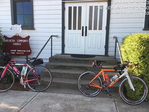
Historic Helvetia Church

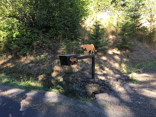
That's a pretty mailbox.  Cedar Canyon Rd, Beaverton - Hagg Lake - Carlton perm.

Really nice in the morning, all the way to Forest Grove.  Lovely new pavements.  We stopped at the c-store for expediency.  I may have also had a salt pause.  Old Hwy 47 to the Lake Store, formerly a mass of potholes and cracks has been repaved.

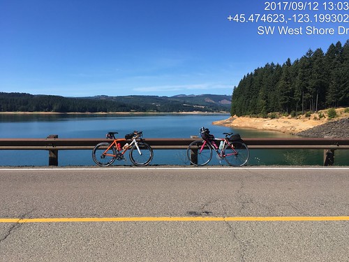
Circumnavigation of Hagg Lake - website said the lane was "restricted".  At the lake, it was "closed". We rode as far as the info control, then back to the intersection w/West Shore Drive by the dam.  and rode an out and back on the dam to find the missing .4 miles.

Lynne and Susan's bikes at the Hagg Lake dam, verification of distance makeup.

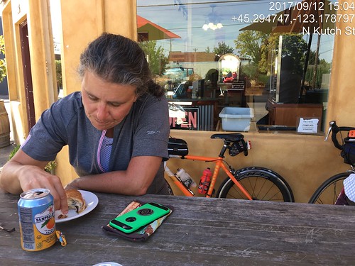
As it was getting hot, we stopped at the Lake Store again for more water; I also inhaled a V-8.  The wind might have been helpful on the way to Carlton, but it was hard to tell.  We did the Carlton control at the bakery, where I had an EXCELLENT lemon tart and a citrus soda of some variety.  It was really hot by now. 

Susan at the Carlton Control, Beaverton - Hagg Lake - Carlton perm.  Hot day.

There was nice shade on Hendricks, another salt pause, and then we turned north into the wind.

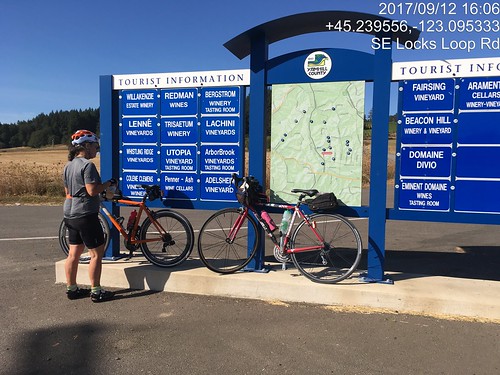
Info control at corner of Ribbon Ridge and North Valley.  Easiest to take a picture.  Susan and the bikes.

Lots of traffic on Kuehne and North Valley (riding on a weekday will do that), until we passed Flett.  The 20 miles from Carlton to the turn east on Geiger seemed rather longer than they should have.

But then we had a tailwind and were coasting along, sometimes doing 18-20, without even trying.  We zigzagged north to Hillsboro (yes, short stretches of headwind) to the final on-course control, with V-8 and a banana.  The temperature was finally dropping, and we got a small snack at the finish (Starbucks).  12:43 elapsed.

Susan: "have you got a way to carry a pumpkin home?"  Uh, no.  She drove it to the house and elected to stay over rather than do the long drive home in the dark.

We did lots of picture control verification.  Yay, Timestamp Camera!

October

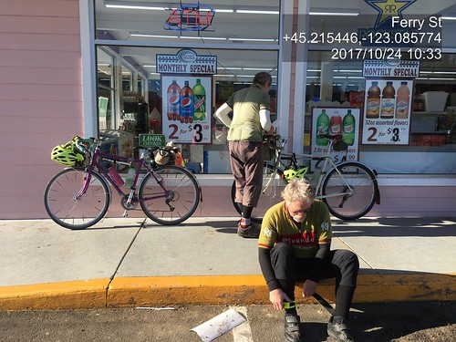
Ray, Paul and I rode the Hillsboro-Dallas 200k perm.  Starting at 7am has been problematic, because Fred Meyer doesn't open until 7am, but the "new" Fred Meyer gas station has a c-store, which opens at 5am.  Ray and I watched Paul drive around the parking lot; guess he didn't see us standing out in front.  It was a mite chilly!

Paul and Ray; Hillsboro-Dallas 200k Dayton control pause.

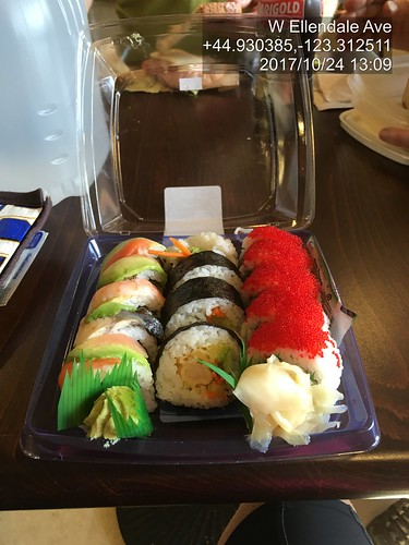
As it was another weekday ride, the traffic heading south on Spring Hill/North Valley/Ribbon Ridge/Kuehne/Abbey into Lafayette was rather heavier than we are accustomed to seeing.  After Amity, the route heads south on Hwy 99 for 6 miles.  Hwy 99 has been repaved, and the shoulder is wide and smooth.  The traffic was heavy, but that doesn't bother me much, as long as I've got a shoulder to ride on.  Turned onto Bethel Rd, and then south on Perrydale, eventually ending up at the Dallas Safeway.  I had packed lox and bagel for ride food, and had consumed (wolfed down) a couple halves in the way to Dallas, and then proceeded to demolish a sushi tray.

Hillsboro Dallas sushi tray at the turnaround control.  This works.  With Ray and Paul.

We then headed back, into, you guessed it, a headwind.  There's nothing to slow it down out there on Red Prairie.  When we arrived at the corner of Perrydale and Bethel, Ray wanted to check out an alternate to Hwy 99.  I consulted Google Maps to figure out which way to go, as we knew it was there, but were unclear on the specifics.  Aha.  Turn left on Bethel, right on Broadmead, stick with it, and we'll end up in Amity, which was where we were going.  Since it wasn't shorter, off we went.  Less hilly, too.  Bonus.  The headwind was strong; Ray, as always, pulled ahead; Paul and I dropped off.  I found Ray in Amity on a park bench, but went on to the c-store for more beverages.

Still had the headwind, but I kept plugging along north.  Almost to the turn onto Geiger, and Ray came up BEHIND me!  How did that happen?  Here I thought I was chasing him!  Paul appeared, and we finished off the last 13 or so miles to the finish.  It was definitely dark before we finished.  My headlight needed adjusting; I was lighting up the sky :-) That was much harder than it should have been.  Granted, I dnf'd it as a brevet in January, but still.

Various Populaires

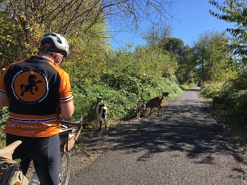
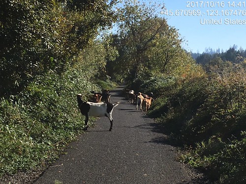
I rode the North Plains Banks Vernonia Trail perm pop a few times, once solo.  If I had to restrict myself to one perm pop, that would be the one.  The owner has ridden it 120 times, I am a distant second, with 37 finishes.  The rides were notable for the escaped goats.  Ray and I watched them pour out of a hole in the fence, and they were already on the trail on my solo outing.

Goats!  (And Ray)

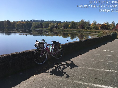
Sweetpea at Vernonia Lake.  Pretty picture as well as photo verification.

Goats on the Banks Vernonia Trail.  Again :-)

The Annual Verboort Sausage Populaire was earlier this month ("always the first Saturday in November!").  It didn't rain.  I again, completely enjoyed the stretch north of Hwy 26 on Timber Rd.  Twice in a row.  I did not used to like it, and I don't know why.  Quiet road, lots of trees and farms.  Ray and I rode together, although we were in with other riders until the Timber Rd climb, where we went ahead.

Verboort Populaire turn around control in Vernonia.

I know there is a trail in there somewhere.  Just south of the Mendenhall trestle at Buxton.

Heading into Wingham Farms on the Banks Vernonia Trail

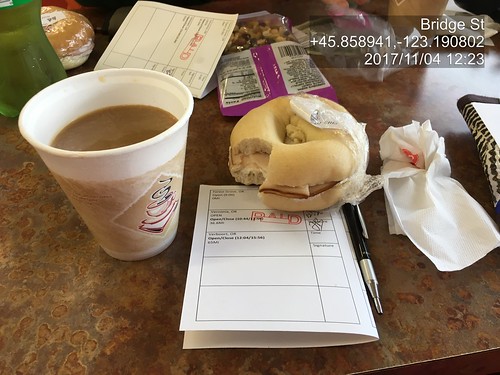
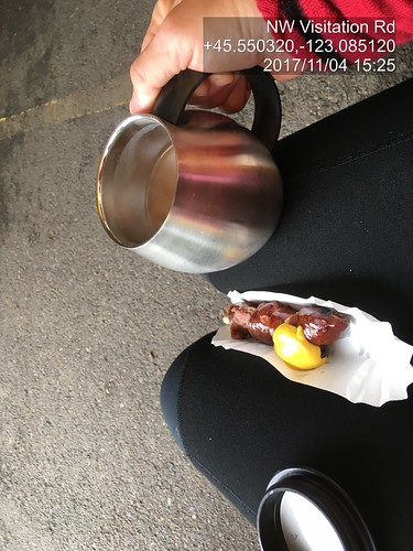
Coffeeneuring, Verboort Sausage Festival.  No disposable cup!

There was also a Dart Populaire, elaborated on in another posting.


Monday, July 10, 2017

Revisiting the Columbia River Gorge

I can't remember the last time I rode in the Columbia River Gorge.  March 2014, when I finished my own perm out of time?

This month's ORR 200k was the Hollywood-Wind River 200 (this version matches the cue sheet).  I'd ridden it before, back in September 2011, when I was in MUCH more fit.  But as I'd survived Dayton-Beaver, I figured I'd finish in time, if not in style.

Recruited Michal to ride with me; he and Cyndi showed up the night before, in time for dinner.  Given that the ride was starting at 6am, we'd need to get up at 4am, so early bedtime all around.  The plan was for me to drive to the start with them, and Fitz would show up at the finish (McMenamin's Kennedy School) to join us for dinner and take me home.

(There are no pictures, although it was a gorgeous day.  Sorry.)

We all met at Wilshire Park.  I was the only woman riding.  Hmph.  Checked out the park's facilities, but it was too early and they weren't open.  We'd find something suitable along the way.

Off at 6am, headed north to the Columbia River.  We had a brief confusion at the NE33rd/Columbia Blvd overpass (cue was hidden in the discussion rather than on it's own line), but quickly resolved it and found ourselves at the west boundary of the airport.  I suggested we ride on the bike path, rather than Marine Drive, and we did that whenever possible.  Best of course when the path is on the river side of the road :-)

Into Troutdale, with a brief stop at the McD's (not for food :-) ), and out the Historic Columbia River Hwy (US-30).  It is up for about 26 miles, but not oppressively so.  Michal wanted to turn onto Bell Rd, but I hauled him back.  The mist/clouds got very thick at this point, almost to "drizzle".  I knew it wouldn't last long, and hadn't even packed a rain jacket.

Popped out at the top and dropped down to Vista House, our first control.  From there, we had the fun descent down to Latourell Falls, and kept dropping for awhile, eventually arriving at the gentle rollers heading east to Warrendale, then the less gentle rollers to the end of the road (unless one wants to get on I-84) and the start of the new part of the path to Cascade Locks.  I love riding the path, but prefer it in the other direction.

Hefting the bike down the (50+, with landings every 10) stairs was a bit painful, but we got there.

Ruckel Creek was a shadow of its former self, but still pretty.

We paused very briefly to refill bottles at the park in Cascade Locks and headed over the bridge ($1 toll for bicycles now).  The crosswinds were pretty spectacular, but I got a few chances to look down and watch the bridge deck vanish as I rode along.  The fast boys were heading west just as we arrived at SR-14 on the Washington side.

We continued east to Stevenson, for a food stop at the grocery.  Terrible sandwich - too much bread, and the turkey and cheese were completely without flavor.  Ick.  Then again eastward to the turn onto Wind River Rd, passing through Carson after the turn.

Wind River Rd climbs almost 1000 feet in 8+ miles.  The tailwind wasn't really there.  Passed the RBA lurking in Carson on the way up; she said she got a ride in after we had all finished that part of the route.  We saw 4 or 5 riders headed back, including Kevin L.

Now, I have ridden this route twice before, and knew where the info control would be.  By this point, our bike computers were not agreeing with the cue sheet; I used the road mile markers, and started looking for the control after we passed by mile marker 8.  Ah, there it was (zipties on the road sign).  Saw Michal further down the road, but I was too wiped to yell.  I figured he'd see me and come back, and eventually he did.  Talking with Kevin later, he said he couldn't find the info control either.  Ate a little something, and headed back down.

Now, THAT was fun!  We could see the Oregon side of the river, and the road stair-stepping down back to SR-14.  Then we hit the Headwind.

We paused again in Stevenson for more water.  I think I drank a quart just standing there, and ate a few more things.  We'd have that headwind all the way back.  It was weird, though - it would blow really hard, and then not much; probably mitigated by the trees, and the road curves following the river's edge.  I had been worried about time when we got to the Wind River Rd control, but not so much after the return.  And, indeed, the headwind wasn't delaying us nearly as much as I thought it might.  Another brief pause at Beacon Rock (Michal was ahead and waiting for me.  There was definitely some of that today), then onward.

Lots of wildflowers in bloom on both sides of the river - sweetpeas, lupines, batchelors button, foxglove, and many I didn't know the names of.

At mile 91, the last big climb of the day appeared.  We chugged up SR-14.  Michal, of course was ahead.  I may have walked a bit.  The turn was onto Krogstad Rd, which is unsigned, and probably doesn't even rise to the level of "driveway".  Like I said, I have been here before, and knew what I was looking for.  As it turned out, the fence is gone, and the house is repainted, but the road sign on the other side did say "Riverside", and it was a bit past where the climbing lane went away.

So I was there, but no Michal.  Ok, maybe he'd gone on and would be found further along.  Krogstad is very quiet and very shaded, but no less climby :-)  A bit more walking, while eating a Payday bar, more riding, finally at the intersection with Canyon Creek.  No Michal.  At this point, our texts crossed in the mail.  He'd overshot the turn and waited for me after the turn, then came back.  Didn't find me, but found Kevin, who'd stopped in Carson.  So I texted that we'd meet up at the next control (Washougal Mercantile), and continued on.  And finally, downhill.  A slow downhill to start, but then it dropped a bit more.  After a few miles of this, I found myself at the store, and bought an ice cream bar and a Coke.  The staff hadn't seen any other riders since 2:20 (they were well-trained in the signing of the cards by now).  Halfway through the ice cream bar, Michal appeared, and a time after that, Kevin.  We all had a good sit and eat before heading on.

Michal: "what's it like now?  No more climbs?"  Nope.  Downhill to Washougal, rolling westward, a bit of a short pitch at Ellsworth, and that's about it. (He rode this with me the last time.  You'd think he'd remember.)

Washougal River Road was a gentle descent, only needed a bit of pedaling to keep up a good pace.  Drivers would stack up behind us and then pass with little difficulty; only one yeller.  And the motorcycle that almost side-swiped me in Washougal; you'd think they'd know better.

Though Washougal, through Camas.  The new roundabout after Camas onto 6th/Old Evergreen Hwy is a very welcome addition.  Old Evergreen Hwy has terrible pavement, but it does look like some parts have been replaced.  About 12 miles out, we stopped and texted our respective spouses, and then slogged on.  I should have eaten something here.

Eventually we saw the I-205 Bridge high above us and knew the turn onto Ellsworth wouldn't be far.  Up Ellsworth, up onto the bridge (that was easier), and then, once on the bridge, downhill all the way to Oregon.  Other than riding on the bridge is really noisy (bike path is in the middle of all the lanes), way fun.

We then navigated south of the airport, crossed over Lombard and Columbia, wandered the neighborhoods a bit and finished.  Cyndi was out front looking for us, but we didn't see the RBA, so she watched our bikes while we got our cards signed at the desk (and in my case, stamped; all McMenamin places have delightful rubber stamps).

Fitz appeared, and my bike was secured in the car.  Michal, Cyndi, and Kevin also went off to secure bikes.  We got a table and waited for them to come back in.  The RBA came by and got my card.  After Michal and Cyndi came in, she got Michal's card, and also Kevin's (he elected to just go home).

Beverages were ordered, and eventually food.  Cyndi kept trying to get Michal to split something with her, but he thought he could eat an entire meal himself.  Fitz usually also tries to get me to split something, but he knew better than to try that after I had just finished a big ride. :-)

12:47 elapsed time.  I lost 3 lbs, but they mostly returned.  It will be nice when I am more fit and can finish this ride in less time.  Working on it.

Tuesday, June 6, 2017

A Challenging 200k

It didn't look good in Willamina.  I was on the verge of bonking.  It would be an 80+ mile drive for someone to retrieve me, and I didn't want that to happen either.  But we are getting ahead of ourselves.

Ray proposed his Dayton-Beaver 210k permanent.  I was pretty sure my engine wasn't yet rated for the initial climb, but he thought I'd make it.  Susan and Keith also joined in.

While preparing the food (Fig Newtons, furikake hard-boiled eggs, rice pudding, Kind bars, some gels, Brookside chocolate-fruit gel thingies, chocolate bars), I came to the realization that my massive jug of Carbo-Pro maltodextrin was empty.  I went to two local bike shops and came up empty.  Then I remembered!  The homebrew place out west in Hillsboro has maltodextrin!  Drove out there, and learned that most of the maltodextrin they sell is to folks like me :-)  Really good value, too.  Might go back and buy a 10 pound bag.

It wasn't supposed to rain, but the "mist" was pretty darn persistent on the drive out to Dayton (like Newberg, only 10 miles further along...).  I had my "it might raincoat" along.  Susan had a windbreaker.  Keith, in his recumbent, had a fairing and sock.  I don't think Ray had a rain jacket.  Fortunately, that was it; no more rain the rest of the day.

We met up at the parking lot across from the high school, and rode into the center of town, to take advantage of the public facilities and covered area for the pre-ride rituals.

Susan and I had ridden the earlier version of this route, in reverse, in pouring rain, 6 years ago.  I had never climbed up from the Carlton side, and, honestly, wasn't sure I ever wanted to.  But here I was.

The first 10 miles were reasonably flat as we rode to, and through Carlton, out Meadowlake Rd, which becomes the Nestucca Access Rd, and then the Nestucca River Rd.  The road wandered around through the foothills, where there were farms, then more trees, and at about mile 14, we started the Real Climb.  It was pretty.  I got to admire some parts of it at greater length, because there was some walking.  The other three riders would regroup and wait for me, or sometimes ride along.  Eventually I found them at the reservoir, which is the first summit.  All the clothing I took off was restored.  The climb summits at 1999 feet, drops about 200 feet, then regains it over a short distance.

Then we had a beautiful, gorgeous descent along the Nestucca River, which went on seemingly forever (really, 35 miles), eventually dropping through the Siuslaw National Forest to Blaine, and then Beaver.  There was a couple miles of gravel, but it was well-packed, and not an issue.  Once I popped out of the forest near Blaine, I could every so often see the others up ahead, but didn't catch them until the control at Beaver.

I had finished both my bottles, so dealt with refilling them (one Gatorade-maltodextrin, the other plain water), and bought a couple of Payday bars, for variety.  I'd been munching pretty steadily on the other food in my bag all along.

We then headed south on Hwy 101 to Hebo, where we'd turn back inland on Hwy 22.  Not that we were on the Pacific Ocean; that was still a few miles further west.  Hwy 22 climbs up to Sourgrass Summit, possibly the lowest (679 feet) pass over the Coast Range.  By now we had a tailwind, it was sunny, with lots of shade, and the climb was very gentle.  Easiest 15 mile climb ever.

From there we enjoyed the descent to Grande Ronde, passing through, but not stopping.  While we were riding on Hwy 18/22, a couple of riders went by, one with a very small backpack and a teeny bit of luggage on his bike, the other with possibly less stuff.  I didn't get a chance to chat with them, but the others did - they were participating in the Trans-Am Bike Race, which had started in Astoria.  Obviously on a mission.

We, on the other hand, as soon as we crossed the bridge by Fort Hill, turned off the road onto a dirt path, and continued on Yamhill River Road, which is ever so much nicer and quieter than Hwy 18/22.

Shortly thereafter,we were in Willamina (I could almost hear Susan thinking: "I could turn left here and be home in 3 miles!"), at the shiny new gas station/c-store.  I had sucked down a mouthful of straight salt a little while back, but it didn't seem to be taking effect.  Took a couple of ibuprofen.  I then wandered aimlessly around the store, picking up a Coke, a banana, and some jojos.  Susan said she had an antacid, because there didn't seem to be any for sale.  So I sat there and shook, ate the banana, sipped the Coke ("ah", said Susan. "You've got the red ambulance!"), and contemplated my options.  Tried a jojo and decided they weren't a good choice at this point.  I think Ray ate them all :-) Asked Ray to get my wind vest for me (no, it wasn't cold.  I knew very well what was happening.)  Took off my shoes.

And then, miraculously, I suddenly felt much better.   I need to remember this combination of potions.

We then headed east, but not to Amity.  There was a tailwind, even.  Rather than taking the traditional route to Amity, and then a short 9 miles to Dayton, Ray routed us down to Perrydale (shades of the Hillsboro Dallas perm), and across the valley to Zena Rd.  I had a brief moment of shock in Perrydale, when I noticed that the old fire engine was gone and its structure torn down.  Darn.

The pollen count was pretty high.  I was enjoying the scent of wheat and grass.  Susan, not so much.  She was sneezing her head off.

Last climb coming up.  I had bad memories of this particular climb on a very hot day a few years ago.  A bit more walking, then a fabulous descent to the Lincoln Store.  Keith was there when we arrived; he said the store closed just as he rode up.  We figured we all had enough for the last 14 miles.  I ate my last rice pudding, and we headed out.  Three more rollers before Hopewell Road flattened out, and then we were on Webfoot Road, the last stretch.  Parts of it seemed longer than they should have, but I finally crested the only big dip, and the Center Market in Dayton was right up the other side.

As we were now FINISHED, we bought unsuitable snacks (big ice cream bar for me), loafed on the front stoop, and finished filling out our cards. 210km, and under 13 hours.

Sunday, June 4, 2017

Finding those Covered Bridges

Oregon has quite a few covered bridges, so much so that one of the brevet routes is the Covered Bridges 200k.  There's a corresponding 400k, with a few more bridges (Eden's Gate), but I wasn't going there this year.

So a couple of weeks ago, I found myself with Ray and Kevin L (yay!  he's back riding again!), and some number of other riders, in Wilsonville getting some pre-brevet coffee.  Very civilized start, what with it being in a coffee shop with plumbing and places to sit and coffee and food.

My food strategy included hard-boiled eggs, Fig Newtons, Brookside Dark Chocolate snacks, and rice pudding, along with the usual collection of a couple of bars, gels, and Gatorade-maltodextrin drink mix.  And plain old salt.  I sucked some down halfway through the ride.

And so, off we went.  After crossing the Willamette River on the Boone (I-5) Bridge, we headed down the west side of the highway, working our way to south to Aurora, then up to Lone Elder and Meridian Road (didn't miss the turn this time), where we'd be for a good long while.

Getting close to Silverton

We quickly found ourselves at the tail end (not unexpected).  We did catch up to the group in front of us, but we stopped to visit the blue room at 91 School, and they didn't.

Ray

Baby Vineyard

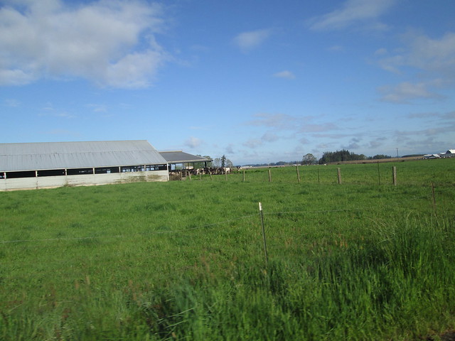
Dairy cows

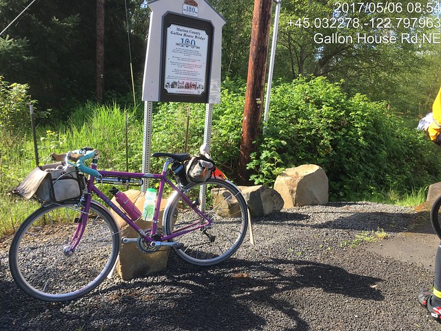
We had a tailwind heading south.  Eventually we turned off Meridian Road, heading west on Downs Rd to the Gallon House Bridge.

The Gallon House Bridge sign

From there we went into Silverton, and had a minor navigation miscue.  We thought we were headed out on Main Street, except we weren't and the expected climb out of town failed to materialize.  So we backtracked, and headed out to the Cascade Hwy.  How we got confused, I'll never know, because we've all only ridden through Silverton many, many times.

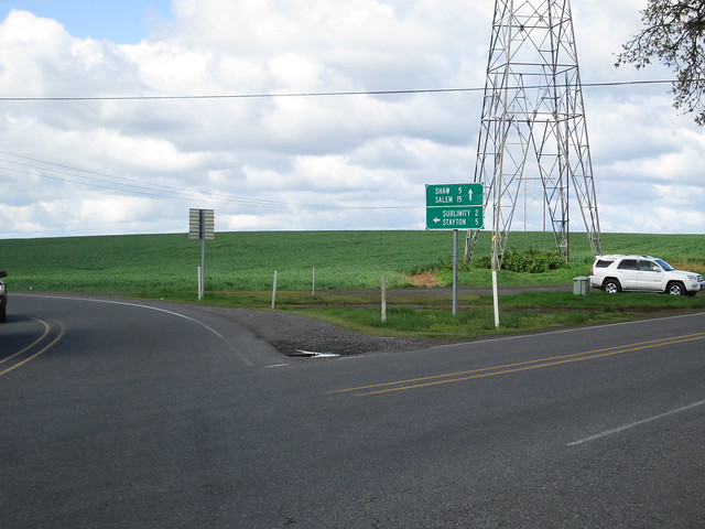
Towns which start with "S"

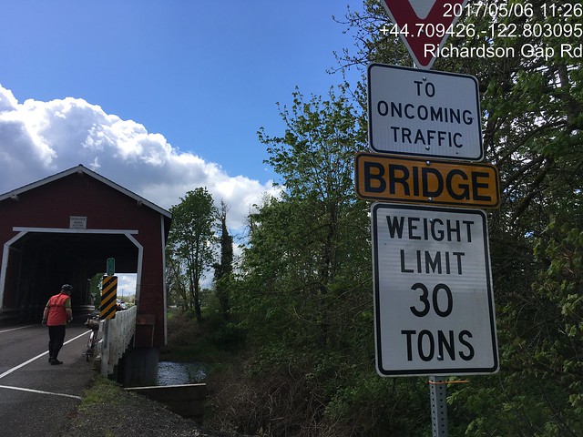
The Cascade Hwy hasn't gotten any more flat.  There's a big climb up to Riches Rd, then it goes up and down until just before Stayton.  We zipped through Stayton, and headed out to Cole School Rd.  Again, roller #2 won.  Sigh.  Excellent descent down Richardson Gap Rd, to bridge number two, the Shimanek Bridge.

The Shimanek Bridge

Then we rode over to Scio, the first timed control.  We found the folks right ahead of us, but they were leaving.  We went over to the grocery and stocked up there.  I also bought and consumed a sandwich.

We now headed for the last two covered bridges - the Hoffman and Gilkey bridges.

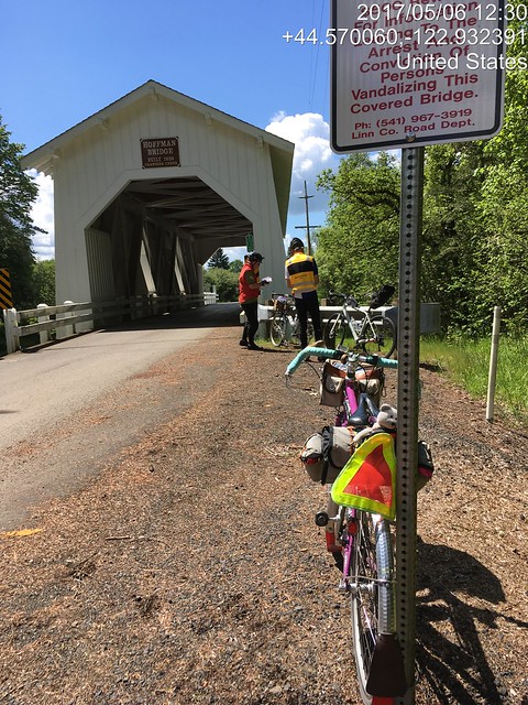
Hoffman Bridge on Hungry Hill Rd

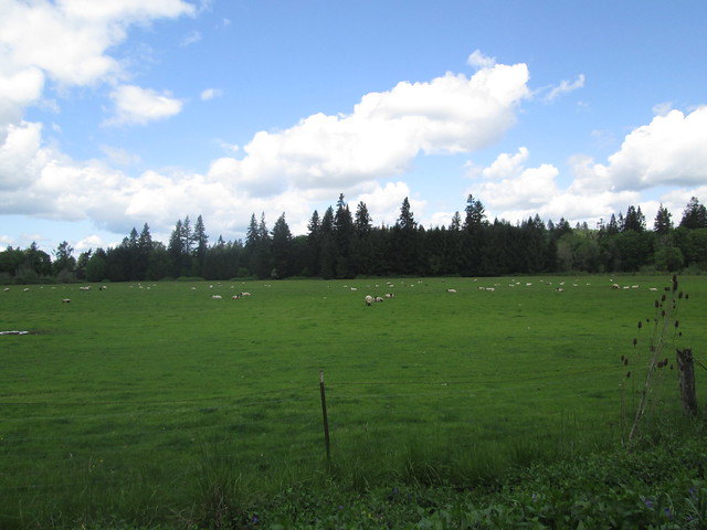
Fluffy Little Sheep

Kevin (no hands) and Ray, Gilkey Bridge

And then we headed north, into the wind.  Lots of rear-wheel-sucking on my part.  The last climb of any substance was approaching, Parrish Gap Rd.  It starts out fairly innocuously, then ramps up.  I came up on Kevin using his two foot gear, and joined in.  He though that would be the top and there wouldn't be any more painful bumps, but I remembered otherwise.  Sure enough :-(

We found Ray hanging out under some trees, and we all stood around for while, and then headed into Turner, and then west to Salem.  Hauled Ray back from a wrong turn.  "I made that same wrong turn last time and got a lot further!"

It did start raining in Salem, but it didn't last long.  We headed for the McDonald's, and all had burgers (ok, Ray's was chicken) and fries, and wolfed them down (how often do you hear the words "wolf down food on a brevet" come out of my mouth?)

36 miles to go, about 4 hours left.  I was a bit tense, so kept up the pace as much as I could.  Somewhere on River Rd, my bike computer speedometer checked out.  I thought to swap the battery in from my cadence pickup, but that didn't work either.  The clock still worked, so I could figure out how I was doing from the distance at each cue and the clock.

To make a short story long, we did finish with 40 minutes to spare.  We were relaxing in the coffee shop when the folks just ahead of us came back in to visit, along with Cyndi (Michal was riding the 400k).

Changed Every Single Battery on the bike computer setup the next day.

Wednesday, May 3, 2017

Where'd that Nice Weather Come From?

We've had an exceptionally wet winter/spring so far.  As the joke goes "it has only rained twice - once for 45 days, and then for 35 days".  Riding has not been happening.  It isn't so much the RAIN, but the accompanying floods and thunderstorms.

Ray was casting about for company on his North Plains - Carlton perm pop.  I haven't ridden it since Halloween, 2015.  Time to get back out there.  Kevin L, who has not been riding much for the last couple years, but was a consistent ride companion before that, also joined us.  Excellent!

Epic Ride Weather's Prediction for the Day
We had the standard meet-up (note: niece A, who will, in a few weeks move from being Ensign A to Lt Dr A informed me that the proper term is "rally point") at the North Plains Mc Donalds.  As always, I get in line behind someone who doesn't know what they want, have never been to a Mc Donalds, and the guy (who is nice, but) running the cash register is super chatty.

Pre-ride faffing, signing of the release, discussion about team formation for a Will Rando dart pop (or maybe it is a Dart.  Route planning for the dart pop would be easier), and eventually we were off.

Headed down Vadis Rd, Kevin was explaining why he was on his plastic bike and not his Rawland: "it is in between saddles".  I asked him how many bikes he had.  After much mental calculations... "Do I really have 13 bikes???".  Heck, he could have borrowed a saddle from one of the others!  Another person to mention when the spouse thinks my bike collection is excessive.  Actually, he can't now, because he's got just as many as I do.

I had started out the day with arm and knee warmers.  Ray and Kevin had on jackets and baselayers.

Heading down to Verboort on Evers Rd, we found two recent additions to the Washington County Quilt Barn Trail.  If RUSA ever allows photographic proof of passage, I might make up a perm pop which visits many of them.  Although I could come up with some lame info control questions, I suspect most will go for the picture proof route.

Quilt block on NW Osterman

Quilt Block on NW Osterman

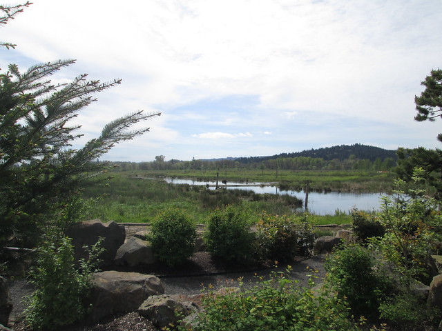
There was a substantial pause at the Fern Hill Wetlands.  After this one, I reverted to my "I'm going now; you'll catch up" practice.  The wetlands plantings have grown, and the water is wonderfully high.  Lost the armwarmers here.

Fern Hill Wetlands

Ray and Kevin discussing bike builds

There was a noticeable headwind, which boded well for the return.

The route itself is relatively uneventful, but for the One Hill.  It is a steeper climb from the north, but paved.  Withycombe (the descent) is gravel, steep, and this day, much loose gravel.  There was a lot of trepidation, but I did successfully descend.  I wasn't worried so much about the climb on the return, because it is a lot slower.

Ray, Carlton elevator, and perm card at the Carlton Bakery
We arrived at the Carlton Bakery to find it full of bicyclists, also out enjoying the nice weather.  Fortunately, they were all leaving, so we ordered our pastries and coffee, and had an outside table to ourselves.  Removed the knee warmers.

And then we headed back.  The tailwind was an excellent push.  I did end up walking the last bit of Withycombe, because I lost my line and had a choice of stopping or toppling.

Kevin and Ray at the summit of Withycombe Rd.
Yamhill elevator
Fini
Sun.  Tailwind.  Not a lot of traffic.  I even got sunburned.  This was a great day.