Wednesday, May 28, 2014

Permanent Populaire #2374 - Hagg Lake 106k

There is now a permanent populaire from Beaverton out to Hagg Lake and back.

Registration form
RWGPS
Cue Sheet


Starting at my favorite Beaverton perms start at SW Canyon Rd and SW 117th Ave, we head west on SW Jenkins/SW Baseline through Hillsboro, until it merges with SW TV Hwy.

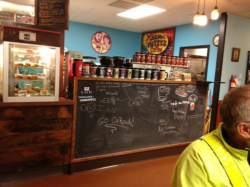
Jim and Patty's Coffee

NOTE: if the way is blocked in Hillsboro because of the Farmers' Market, just turn left until you get to SW TV Hwy (two blocks), then turn right.  It may be signed SW Baseline still.

The first control is in Forest Grove, and by now, I am ready for a big sticky bun at Maggie's Buns.  You might like Pizza Schmizza or Scotties (burgers).

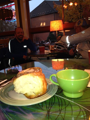
Coffeeneuring #6, sticky bun as big as my head

Then south out of Forest Grove and west to the circumnavigation of Hagg Lake.

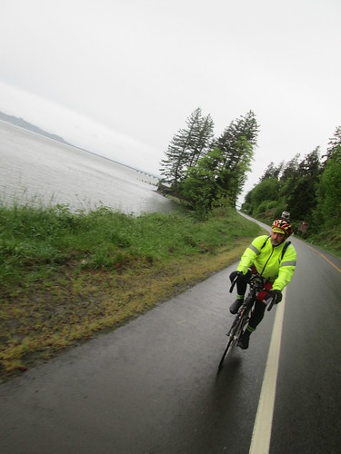
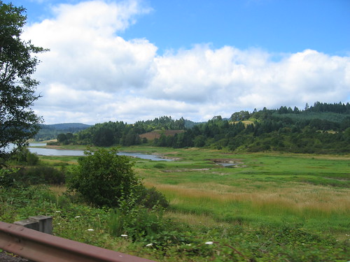
Tanner Creek entering Hagg Lake

Hagg Lake, from the Scoggins Valley Dam

Our last on-course control is the grocery in Gaston.  Friendly people, fabulous soundtrack, coffee, bananas, snacks, and high quality chocolate bars.

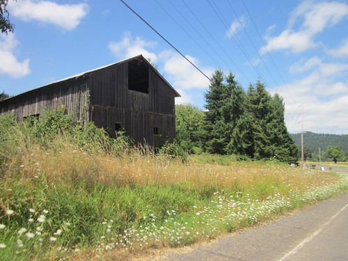
Old barn, Old OR 47

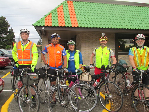
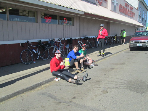
Gaston. Randos in the sunshine.  At least one was named Michael.

And then back we go, along quieter roads back to the start in Beaverton.  If you need to stop before, Forest Hills Golf Course at mile 50.2 has a snack bar and restrooms.  But the water in their outside water fountain is terrible.  Don't go there.

At the finish you will find many coffee shops and expedient food stops to get your finish receipt.

Tuesday, May 6, 2014

Nonsensical, Yes Indeed

I had posted in the Oregon Randonneur and Seattle Randonneur Facebook pages, looking for riders interested in participating in Fleche Northwest.  Narayan promptly signed on, followed quickly by Geoff, Keith, and Paul.  As they were all from Seattle, I'd be wearing the blue jersey for this one.


Route profile - not flat by any definition
I planned to re-use last year's route, with one change - we'd go around in Astoria, rather than over.  That was painful.  The route got .1 km longer, 360.1 km total, but I still figured we'd be a shoo-in for the Lowball Award.  The team name, by a vote of the 5 team members, was Nonsense Prevails.

The weather looked to be not bad, and there would even be a tailwind.  Oh my.  Shipped a box of clothes off to the hotel in Olympia.  Bicycle cleaned.  Previous saddle pulled out of the closet and reinstalled.

Day of, did the last food preparations (lox and bagel is a tasty ride snack), and dozed for about an hour in the afternoon.  I can't say I slept, but I didn't do anything else.

The guys all drove to Olympia and caught the train there.  Then they hopped the MAX train, and I met them at the transit center, where we coasted back down to the house.  They all had a pre-dinner beer, then dinner all around.  Then it was time to ride over to the start (7 minutes tops), and have our pre-ride pie and coffee.  Fitz joined us there and took our only team picture.  Keith thanked me for organizing and all.  Me: "you say that NOW."
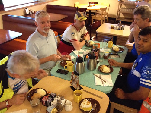
Pie at the start

Team picture at the start

Given that the first 32 turns of our 78 turn cue sheet were getting us 12.1 miles to the edge of the Urban Growth Boundary, I took the lead.  We had an amazing sunset as we headed towards Banks, our first control.
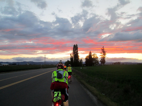
Spectacular sunset, Zion Church Road

Banks Thriftway control - Paul, Geoff, Lynne.  Photo by Keith Moore
It was dark as we emerged from the control and started towards Vernonia on the Banks Vernonia Trail.  I love my Luxos U headlight - it lit up the trail from edge to edge and illuminated well forward.  Nice views of the stars and crescent moon at the road crossings.
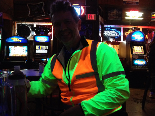
Keith knows how to light up a tavern

Popped out into Vernonia, and had a brief discussion as to whether we should use the Cedar Side Inn or the bar across the street for a control.  I suggested we go into the Cedar Side Inn, in case anyone wanted food.  It was QUITE lively and loud in there.  Blacklights, too, so we lit up the place in our neon/reflective vests.  There was a birthday party going on, and Birthday Girl was completely entranced with our adventure.  She ended up buying a round of coffee for us, and would have gotten us drinks, if we'd wanted them.

It was starting to get cold, so we all pulled on more layers.  Not raining, so I didn't go so far as to add booties and RainLegs.

A couple of locals warned us about rude and/or drunk drivers on the road to Astoria.  We thanked them and headed out.  (For the record, until we got close to Astoria, we saw only three cars)

Given my spectacular bonk on the 300k a couple weeks ago, Narayan made it a point to make sure I was eating.  My timer watch had given it up on the 300k, so I bought a countdown timer app for the phone.  I had food.  Also lots of Perpetuem.  So I was, indeed, eating.

My plan, at least, was to take a short rest stop at the Jewell Elk Refuge.  There is water, and the bathrooms are heated.  We could conk out in one of them.  Randos know the classiest places to stop.  We arrived with plenty of time - no need to be to Astoria before 6am - so filled up bottles, took care of other business, then sat down and dozed for about 20 minutes.

Napping.  photo by Keith Moore
The coffee from Vernonia was making my stomach quite unhappy.  I kept sipping liquids and eating quiet food, but it wasn't helping much.

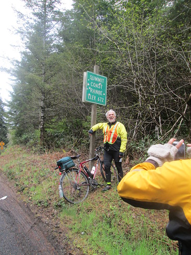
Then, a couple miles out from the stop, at mile 82, the rain started.  Darn.  Pause while some of us added rain gear.  Spun our way up to the Coast Range summit at mile 86.  The rain got more insistent, and then even more so as we descended 11 miles. Brrr.  The headlight was just wonderful, though.

Somewhere along there (Olney?) we pulled over and ended up doing a glove handout - one rider who shall remain nameless had only shortfinger gloves, so I loaned him my extra wool gloves.  Keith shared some gloves with another rider.  By this point I was wearing shortfinger gloves, Smartwool liner gloves, and ragg gloves with grippy palms over those.  The outer two layers of gloves were worn intermittently for the balance of the ride.

Then there was a not really flat 11 mile stretch to Astoria, where we could see the Astoria airport and Warrenton as we rode by.  The sky gradually lightened.  What with the clouds and rain, I am sure the sun was there somewhere, but not yet seen.  There was one really evil metal grid bridge.  I was riding with Paul at this point, and we worked our way around the peninsula Astoria sits on, passing the bridge, and ending up at the Pig and Pancake.  We found the other three inside, wet helmets and gloves and jackets draped everywhere.

Food and beverages were ordered; some attempted a nap.

Narayan, Paul, and Geoff.  Photo by Keith Moore
This year I managed to eat all my hashbrowns, two eggs and almost a half a piece of toast.  Antacids were produced to settle my stomach.  Keith consumed a massive plate of biscuits and gravy.  I am in awe.

Breakfast over, we then crossed over the Astoria Megler Bridge (4 miles long!) into Washington.  The rain had let up some, but not stopped entirely.  We wandered upriver a bit, and then rode up and over a ridge, heading inland.
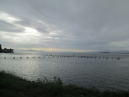
Early morning Columbia River

Paul

Brief pause in Naselle for someone to buy food, but nothing was open yet.  We were behind time, but this was expected; I knew we'd make it up.  And now, there was nothing but riding between here and Raymond.  We did have our tailwind.  We also had the seemingly endless little climbs.  And rain.  And more rain.  Heavy rain. I think all the rain in the universe was concentrated in the area around South Bend/Raymond as we were passing through.  Munched on some more antacids; they were settling my stomach.

So that we wouldn't lose time there, I made the call to pull into a c-store in South Bend, and then we'd ride through Raymond, and the looming 4 hills.  The first is a 400 foot climb, with a not particularly good shoulder, followed by three more 150-200 feet climbs.  The road got much better.  The other riders pulled ahead, and I didn't see anyone until the last climb, where I found Narayan.   We all regrouped briefly, planning to stop at the Chevron in Montesano.  I fell off the back again, and rode the 8 miles to Montesano solo.

Found everyone in the store.  My first order of business was to swap the batteries in the SPOT, because it was telling me the batteries were low.  Then I bought some peanut butter crackers; I was pretty tired of sweet stuff.  We were almost an hour ahead of where I had been last year; looking good!

Then we headed off to McCleary, our 22 hour control.  It looked like we'd get to take an actual break there.  But wait!  What was this headwind?  Ack.  So, slogging eastward, again riding solo after awhile.  Bad, negative thoughts going through my head, along the lines of "I will never do this again, ever".  I am sure this is partly because every single brevet I have ridden this year, and a fair number of permanents have been in very suboptimal weather.

The shoulder improves greatly once in Elma, but after awhile, one gets the feeling that McCleary is a myth, never to be found.  But eventually it was, and there were bicycles parked outside the Subway, and many "wet floor" signs on the floor :-)

There was plenty of time to get a bowl of soup, a flatizza, and a Coke.  We spread out on the booths, and left massive puddles wherever we stood or sat.  I only wish I had not been so thoroughly saturated, because it really wasn't very warm in there.  Well, it may have been warm enough if I had been dry.

Just before 5pm, we started reassembling for the final push.  We had to ride together for the last two hours, so Narayan suggested I lead.  Into the pouring rain, out of town, and over the hill to get onto Hwy 8.  Lots of fast traffic, but also wonderfully wide shoulders; no worries.  So there we were, and Keith rides up to tell me the other three are off the back. ???  Slowed down for the others to catch up.

Gentle uphill for about 10 miles, but it really didn't seem that far.  Then downhill, off Hwy 8, and downhill some more, at which point there was only the climb just past the Blue Heron Bakery, and a couple of miles navigating through Olympia.

By now I was not considering finding a spot to wait until just before 7pm to finish right at 24 hours (tradition).  Too cold and wet.  The suggested route in to the finish location was a bit weird.  I had scoped it out on Google Street View, but still made the gps-equipped team members lead us in.  And there was still confusion at the bridge.  But finish we did, at 6:48pm.

Dripped our way into the hotel, to be welcomed by riders who had finished earlier and taken hot showers and were wearing dry clothing :-)

Geoff and Paul changed and took themselves right back to Seattle, but Narayan, Keith, and I went out for some tasty Thai food.  More random visiting back at the hotel, back to the room to chat with Susan and Asta, and then oblivion.
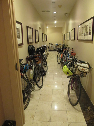
Bikes in the hall in Olympia

The next morning Susan got me some coffee (thank you!) while I packed up and organized.  Looked like I'd be wearing yesterday's riding clothes for the trip to the train station - didn't want to be sitting on the train in wet clothes.  Ewww.

But anyway, first there was first breakfast (hotel's continental breakfast) with many of the riders, and then we all adjourned to second breakfast (the after-ride banquet).  Much fun, hearing about the other rides.  Except possibly the team that didn't get rained on until the last 10 miles, and had warm sunny skies.

As planned, we took the Lowball Award.  The route was even .1km longer than last year. :-)

Then it was time to change into the still damp jersey and shorts, and head off to the train station.  Susan had concocted a route, but Andy S suggested we go a different way, involving some of the local bike trails.  I know we ended up on the Chehalis-Western trail, but am not entirely sure how we got there.  And coming off the trail, the development we rode through looked very familiar.  Once we popped out on the Yelm Highway, I recognized the RAPsody route.  Just a bit of riding there, and we were at the train station.

James was there as well :-)  The train pulled in, we handed up our bikes, and went to find some seats.  Shortly after departing, I changed my clothes, which was much better for everyone around me.  The train arrived about 20 minutes early; Fitz was there very soon thereafter to collect us.
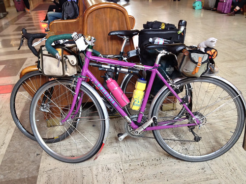
Arriving back in Portland

What went right?  Surprisingly, a lot of things.  Alert readers will note that I said nothing about falling asleep on the bike, bonking, having saddle issues or shoe issues.

What I wore - started out with a LS wool jersey, Louis Garneau Neo Power shorts, wool sports bra (very important), wool quarter socks, Assos gloves, stripey homemade cycling cap, and Gore Visibility Vest.  In Vernonia I swapped on a wool beanie, and added a short sleeve wool jersey and wool armwarmers underneath.  Also my Showers Pass jacket, venerable PI kneewarmers, some toe covers.  When the rain set in, on went the helmet cover, wool longfinger gloves, RainLegs and Endura rain booties.  Before the end (LONG before the end), I was completely saturated, but not cold, as long as I was moving.  Stops weren't so very relaxing, because I'd start to shiver.

Randonesia is setting in, even.

All the pictures (not many, too wet to pull the camera out very much) here

Wednesday, April 30, 2014

Something Relatively Benign

The West County 100km.  Riding with the Usual Suspects (Ray and Kevin L).  This one starts 7 easy miles from my house, so I did not need to use my car, and the spouse would have something to drive.  Being Oregon in the Spring, rain was expected.  And headwinds for the first 42 miles.

Left the house right after 8, for a 9am start.  Arrived; went to the convenience store.  No other riders there.  Bought something, and then, with 10 minutes before, thought I'd tour the parking lot.  Found them over at Subway.  Which is apparently now open for breakfast.  Good to know.

Off we went, heading towards Banks.  I was already wearing the rain gear, since it was inevitable.  And it did, indeed, start raining lightly.  Through Banks, out Cedar Canyon (info control!), then west on Hwy 6, for the only real climb of the ride.

Matching

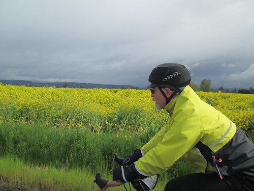
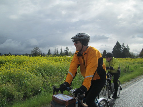
Riding by the mustard

Ray would get going, and move right along.  Kevin calls this his "Robo Ray" mode.  After the control at the Shell Station, we headed back west and then south on Gales Creek.  Me to Ray: "something is wrong here".  Ray: "yes".  Tailwind!  For a while anyway.  Then it turned around and started hitting us in the face, with more rain.  Fairly insistent rain sometimes.

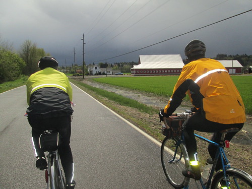
Almost to Gaston - look at those clouds!

But since we ride this so often, my brain doesn't stress over it.  Shell Station to Stringtown Rd.  Stringtown Rd to Dilley Rd and Hwy 47.  Old Hwy 47 past The Lake Store and south a few more miles to Gaston.

The Gaston Store is great.  They've got a nice selection of cyclist friendly food, including bananas.  Friendly staff and customers. Really good chocolate bars.  A bathroom.  Wonderful soundtrack.  And an awning outside.

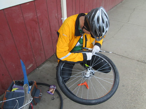
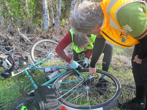
Did I mention awning?  As we were getting ready to depart, Kevin looked down at his rear wheel.  So we had a pause and I ate more things.  The puncture was caused by a wire.  All things considered, a good place to have to fix a flat.

Kevin fixes a flat

One goal of this ride was to check out my new shoes - men's Sidi Dominators.  I would wear the smallest size.  My women's Dominators just didn't have the volume needed.

The other goal was to give my new saddle one last chance, although careful measurements, of both me and the saddle were not indicating probable success.  I think 1500k is probably enough riding to know if it will work out.

So, by now, I decided the shoes were keepers.  Finally, some shoes that work!

And now the last 20+ miles, again, very familiar territory.  We pulled into the Subway, ordered lunch, and visited for awhile.  I changed into my dry socks.  Ahh.

Then I got the message that I was going out to dinner with the parents, so prepared to depart.  I could see some nasty clouds to the SW, and aimed to beat them home.  Which I did.

I have given up on the saddle; it will go back.  Not naming names, because the concept is great, and if it was wider, I'd be really happy.  Pulled my most recent saddle out of the closet.  I still will not be comfortable on the flèche, but it will be differently uncomfortable.  I am sure there will be a perfect saddle for me someday.

Total miles for the day 77+

Wednesday, April 23, 2014

This 300k Was Just a Bit Too Epic

Next up, the 300k.  The Oregon Randonneurs classic route, the Three Capes.  Not, of course, without some route planning excitement.

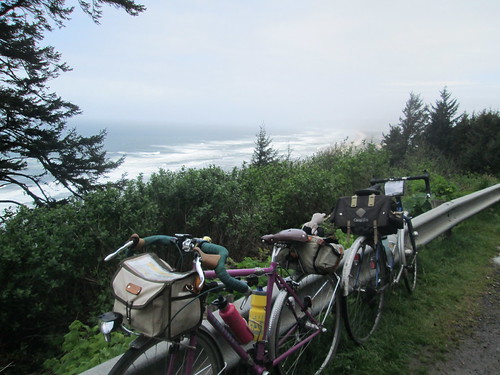
some bikes at Anderson Viewpoint

I didn't do the pre-ride or any of that.  But when John Henry posted that he had done the pre-ride, and I looked at his distance, rather MORE than 300k, I delicately inquired of the RBA what route changes were in store.

The Little Nestucca Highway was closed - all those quaint, narrow, single lane bridges were shrink-wrapped for repainting.  Something about lead.

We tossed around various reroute options to get back to 300k.  We successfully removed the Timber Road out and back (not my favorite).  And eventually, with judicious tweaks, got it right there.  And you wonder why you were sent out of Forest Grove on B Street. .02 miles, that's why.

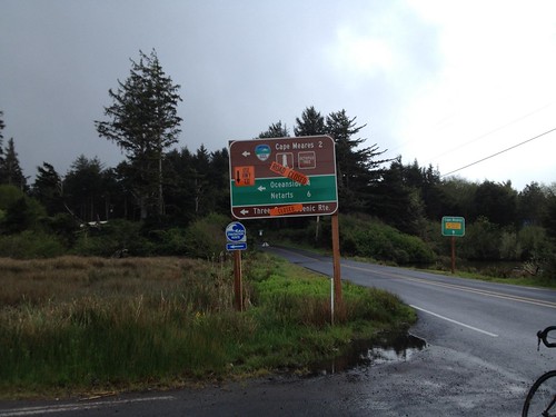
Now, toss in the additional quirk of Cape Meares Drive is sliding down the hill, and that road is closed to traffic.  Navigable by bike, but closed.  Easy route around that, only 1.5 miles additional, plus, well, it skips climbing Cape Meares.  I was crushed. (not).

Not going that way today.

Two of my fleche teammates were coming down from Seattle to ride, and Narayan proposed that we ride together.  Neither he nor Geoff H had ridden this before, so they had the added bonus of someone who knew exactly where she was going.

I made myself an updated cue sheet with all the detour options I was choosing to take, because I wanted to verify the calibration on my bike computer.

The ride took place during Passover, making my on-route food options vanishingly small.  Bananas.  Things to drink.  French fries.  I made up a variety of rice cakes, probably way too many. (I eat rice and legumes during Passover.  Check out the Kitniyot Liberation Front :-) )

Oh, and the weather was going to be probably the worst of any of the years I have done this route.

Geoff and Narayan appeared on Friday night.  We planned on a 4am wakeup, which would get us out the door at 5, arriving in Forest Grove with plenty of time to check in, faff, and socialize.  Which we did :-)

Not raining at the start.  We saw many riders on the out and back on Carpenter Creek.  Then NW on Stringtown, Gales Creek, Hwy 6...  Over the top, and the long descent into Tillamook.  It was windy, in a headwindy sort of way, but very light traffic.  And then it started to rain.  After awhile, I figured that I would not make the 10-12 miles remaining to the control in any sort of not sopping wet state, so we pulled over under some trees and donned raingear.  Ah, better.

Tried to make it quick at the Safeway, after all, I wasn't buying anything complicated.  Hah.  And then, as we were pulling out, I realized, while I had bought things, there was no signature and no receipt.  (How long have you been doing this, Lynne?) Quick trip back into the store for a sig from the Starbucks counter.

Bayocean Rd, past Tillamook

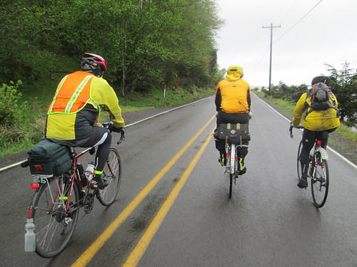
Geoff, Narayan and Gary, on Bayocean Rd

Now for the Bayocean out and back, plus a little convincing to Narayan that we were indeed on the route.  Again, saw riders headed back; waved at Michal.  He was 11-12 miles ahead at this point.  We picked up Gary Smith, and the four of us rode out to the control turnaround.

On the way back (tailwind!), Geoff pulled over, and we continued, figuring he'd catch up again before long.  Turned south, into a serious headwind.  This was the detour, and a new road to me.  I knew it was fairly benign until the last pitch before dropping down to Netarts Bay.  The climb in the headwind was pretty special.  A bit more traffic, because it is the main route to Netarts and Oceanside.  Some driving in an entitled, privileged sort of way, as I was trying to not get blown across their path.

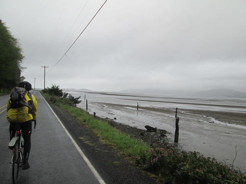
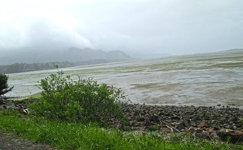
Finally down to Netarts Bay, one of my favorite stretches of the route.

Netarts Bay, with Cape Lookout looming

And then up Cape Lookout.  Every year I forget how very steep it gets.  There I am, chugging along, and suddenly it is painfully steep.  And then there is Anderson Viewpoint, a very good place to stop, take pictures, and loiter around waiting for Geoff.  Another rider came up (Gary? Mike?) and said Geoff would be right along, so we waited, and, indeed, he was right along.  There were serious headwinds from the south this entire leg.

Narayan at Anderson Viewpoint

The final push to the top, chatting with Jason H on the amazing availability of coffee drinks at his place of employ, and then down and another intense cloudburst.  I am not sure if there was hail, but I'd put money on sleet.  So, the descent was a bit less fun than planned.  There was another rain hit on Sandlake Rd, then a couple of gentle climbs and we were in Pacific City.

I lobbied for the Cape Kiwanda RV Park store - sandwiches and food for those ordering, and a mini-grocery for those not.  One bathroom.  Not a relaxing stop for me, filling up bottles, waiting in line to buy things, and such.  I really wanted to sit down, too.  Kevin and Jeff were there at some point, along with other riders.  Ray, Lesli, and Peg were probably way ahead somewhere.

Finally, turning inland!  We went north through Pacific City, out on Old Woods Rd to pick up Hwy 101 at Cloverdale.  Another new stretch of road, gently rolling, lots of farms, and very green.  Cloverdale to Hebo wasn't bad at all.  The shoulder wasn't very wide, but it was clean, and drivers were generally courteous.  Mike R and I chatted about 650B tires.  Now, if there was a Compass 34mm width tire, I'd be all over it.

Cloverdale up ahead, from Gist Rd

Then left onto Hwy 22.  I had ridden it in the other direction, on a very wet perm, back in 2011.  We (we now comprised of Lynne, Geoff, Narayan and Mike), paused to reconfigure clothing, as it looked like the rain had given it up for the day.  Geoff was also trying to lose his mudflap, so I produced a ziptie for an on-road repair.

Three Rivers Hwy, headed to the summit and Grand Ronde

Very, very gentle grade along the Nestucca River, for miles and miles.  Passed Dolph Junction, where the Little Nestucca Rd joins in.  Bit more of a grade, not much, wonderfully mossy trees, and... Sourgrass Summit!

Geoff at the summit (Narayan's elbow)

Mike Richeson

Narayan

Pause for pictures.

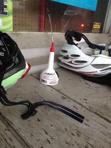
And then downhill, with the expected tailwind.  Into Grand Ronde, stopping at the store on the corner.  I announced that I was taking a few minutes, and sat.  Ate something.  A very courteous rider had purchased and left a can of 3-in-1 oil.  More than a few of us had squeaky chains, so we put it to good use.

Useful gift from faster riders.  Grand Ronde.

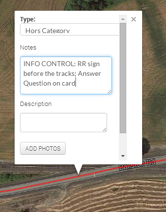
More tailwind along Hwy 18, Yamhill River Rd, Willamina (beware, Tracks of Death!), Sheridan, and then our last on-course control in Ballston.

Colorful fields ahead to the left, and Geoff, headed for Ballston

It was not yet dark when we arrived in Amity.  Narayan and Mike had fallen off a bit (I was happily sitting on Geoff's wheel and enjoying the tailwind), so we paused to regroup.  Off to Dayton.  By now, in complete and total autopilot.  And we arrived at the Dayton Center Market and... bonk.

Ate a gel.  Drank something else.  Took some Endurolytes. Pulled on my jacket, because I was shaking, and sat inside for a bit.  After awhile, we all took off again, at a somewhat less ambitious pace.  Got to the Trappist Abbey on Abbey Rd, and needed to sit down again.  I really really wanted to quit here (didn't help that we had started up on the Abbey Rd hill, and, while not long, can be a bit painful late in a ride).  Tried to quit.  Called Cyndi, but she basically told me to suck it up and finish.  Ate something.  Took some more Endurolytes; put some Fizz tablets in the sports drink bottle.  Onward.  My stomach would say eat something, I'd take a bite, and it would get crabby for awhile.  The guys all stayed with me.
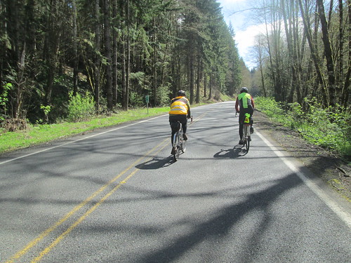
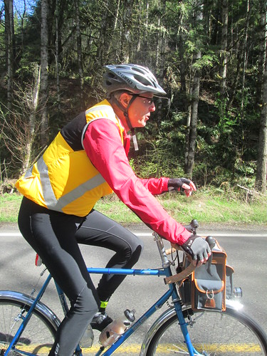
Our pace picked up to 11-13mph, so I kept muttering "less than an hour", then "less than 30 minutes".  And so on.  Turned onto Fern Hill.  Less than 5 miles to go.  Finally rolled into the parking lot and walked into the Grand Lodge at 12:17am.

Cyndi and Michal had hung out to see me finish (oh THANK YOU!)  I was shaking again, so Cyndi got me a Coke, which helped.

Nothing like a bonk to take your mind off the fact that you and your new saddle are still not good friends.  And, strangely enough, my triceps hurt.  This has not happened in YEARS.  Wrestling with the crosswinds?  Too much weight in the front bag?  Dunno.

After sitting and visiting with them and Susan F, and watching the shaking subside, we headed on back home.

Well, it was faster than last year's hypothermia-fest out of Tumwater.  I was riding the entire time in a group of riders, which, for me, on a brevet is a rarity; at most I am riding with one other person.  And it was very, very nice.

18:17 total time, with a riding average of 12.29 mph.

I was delighted that the distance on my bike computer was only .3 mi difference over the 187.9 miles on my cue sheet.  This can be easily accounted for by pullouts at controls and Anderson Viewpoint.

All the pictures here.  More mossy trees and scenery.

Monday, April 21, 2014

The Making of a Cue Sheet, Feedback

The post on how to create a cue sheet generated some feedback, some of which I'd like to share with you.

First, from Susan Otcenas:
"Had a conversation about cue sheets with some Canadian and US riders. One small item they seemed to feel differently about from your procedure. General consensus was that they want cue sheets to read left to right. As in Proceed 0.1 miles to mile 159 and turn right at River Rd."

So I thought about it, and modified my copy of cue sheet for the upcoming brevet.  Now, for ME, the most important thing on the cue sheet is total distance, because that is what is displayed on my bike computer as well!  Given that, I had the leg distance first, but in a slightly smaller font, and the total distance boldface font, same font size as everything else.  That way, I could quickly focus on total distance.  Looked like this:

Leg distance given first
Worked out well, so I will carry this format forward

Additionally, from Mark Thomas:
"FYI. I've had pretty good luck with a slight variation of this method. I put additional information (like your 10a stuff) into the cue sheet entries in RwGPS. It ends up in the same place after you do the CSV export / open in Excel, but then you have the information available in the RwGPS file as well."

The way to do this is to select the Add to Cuesheet option over on the right side, then click on the route where you want the control.  Then type in any information you want for the cues sheet CSV export.
Add to Cuesheet dialog box

Your notes added to the cues for the route, plus the mileage; nice!
When you export, there it is:
Already in your preliminary cuesheet
The only drawback I see to this is that the cues you add to the route do not show up as icons on the route map.  You would still need to add a POI (Point of Interest) for the viewer to see them called out on the map.

(Updated after more feedback from Mark) As well as adding cues for controls, this also works for useful bits of information such as summits, dangerous railroad tracks, or other.  In addition, existing cues can be improved with clearer navigation information, and adding SS and/or T (stop sign, t-intersection) or any other useful navigational aids.  And this is all stored in the RWGPS file, so you don't have to re-add it should you need to regenerate the cue sheet, and others have access to the information from the RWGPS link.
Wednesday, April 16, 2014

Found Yankton Again!

Ray was prospecting for ride partners.  He pointed out that this would be a good tune-up for the upcoming 300k, what with all the climbing.  The weather was going to be amazingly nice.

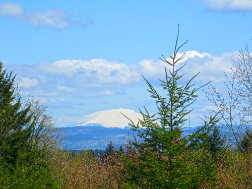
Mt St Helens

Found Ray and Kevin at the Scappoose Library, followed shortly by RB.  We headed over to the little market for starting receipts, and cleaned them out of bananas.  Not any chances to restock on this ride, until 10 miles from the finish.

Out of Scappoose, and we promptly started climbing the Scappoose Vernonia Hwy.  Ten miles up, pretty gradual until the last couple miles.

Farm and cows on the Scappoose-Vernonia Highway

Ray and RB pulled ahead; Kevin and I came around a corner to find RB working on his bike, and Ray asking if I had a quick link.  Which I did, and RB was resolving a chain suck issue, but he was just going to shorten his chain, and didn't want the quick link.  Ray checked out the sun, and then went to hold something for RB.  Well, ok, we were stopped.  So I ate one of the bananas.  Pointed comments about Luddites may have been shared.

Ray basking in the sun

You know, if you used my quick link, we'd be (long) done by now

Off again, and shortly heading down to Hwy 47, then over to the Big Eddy Campground, info control and rest stop :-)  I took off, knowing they'd catch me.  And eventually they did, a few miles after the turn onto Apiary.

Ray and RB on Apiary Rd

Kevin.  "You know, my saddle feels better today. And I LOVE these tires."

Coast Range forest

Didn't remember Apiary being challenging last time.  Of course, we had a headwind this time, which pretty much followed us around the entire route, but for the last drop to the end.  So, up to Camp Wilkerson and down, then a rolling stretch, which eventually took us to a turn onto the expected 3 uphill miles of gravel.  Mostly dirt-type gravel, but there were also stretches of loose gravel.

Gravel.  And uphill.

And loose dogs.  Many loose dogs.  The scariest was a very determined miniature pinscher type who chased me the last part of the gravel, where I really couldn't accelerate and kept yelling "go home!  bad dog!".  I kept expecting sharp pointy teeth to do something painful to my calf or ankle.  The dog's owner had yelled something half-hearted as I passed their place, but didn't follow up. :-(  Got to where the other three were waiting at the intersection; Kevin chased it back.

Coast Range valley above Scappoose

So, adrenalin up, we then went to finally find Yankton.  Rolling terrain again, alongside a scenic valley, then up (dang, another dog, but it just sat there) and down into Yankton.  We stopped at the store long enough to buy something to drink, and for me, a packet of Oreos, which I happily wolfed down on the porch.

Found it!

Long discussion on breaking in leather saddles (between the four of us we had a Velo Orange, a Berthoud, a Selle Anatomica, and a Rivet).  RB's considered opinion after looking at my saddle, was that it was awfully hard (yes indeed, and 1100km hasn't softened it up appreciably).  He recommended I loosen it a bit.

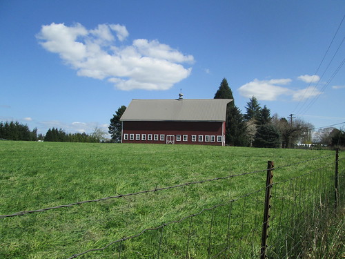
Photogenic Red Barn

Last bits of up (one slightly egregious wall), then winding around some farms and houses, and the last drop down to Hwy 30.  Then a bit of Hwy 30, a protected left across, and a few quiet miles back to the start.  Kevin had been saying that if we pushed it we'd finish in less than 5 hours.  Now, we were at 5 hours at Yankton, so I was not sure what clock he was using, but anyway.  We rolled in just after 6 hours, and there were a few more minutes before we could get a receipt.

Finished!

Post-ride refueling

Last time, we finished, and it started pouring, and there was no place but the market.  Now there is Bert's, a wonderful little place which serves breakfast ALL DAY.  My kind of stop.

6:10 elapsed, my bike computer records 4220 vertical feet.