Cecil and I set out to give this Permanent route a go. I hadn't ridden on any of the roads on the route, and it looked like fun. A covered bridge, a ferry... All the elements of a great ride.
As we planned on a 6:15am start, and Clatskanie is at least a 75 minute drive, Cecil came over the night before. We got all organized then as well. Up at 4am (ouch), out the door pretty close to 4:30.
Google said it was faster to go up I-5 to Longview, over the bridge to Hwy 30, and thence west to Clatskanie, so that is what we did. Arrived just before 6am. It was CHILLY and FOGGY. This called for armwarmers, knee warmers, Showers Pass jacket, wool cap, wool gloves with the short finger gloves. Cecil and I matched :-) No signs of life at the Safeway. So we got organized, and right at 6, the Safeway woke up.
Went in and bought some bananas; the obliging checker signed our cards as well. Then off to catch the 7:15am ferry from Westport. The road was freshly asphalted and amazingly smooth and quiet. Then we started seeing "Road Construction - be prepared to stop". Eventually, we did have to stop. We scooted up to the head of the line to see what was going on. The pilot car showed up, leading a group of cars, then motioned for us to get in front of her. "Ride in front of me, but don't get too far ahead". No chance of that :-) So we got to be the pilot bicycles for a couple of miles, then proceeded on. Turned off at Westport for the ferry. There were a couple of cars waiting; we were early. They wanted to know if we got a lot of flats with those skinny tires. Um. No.
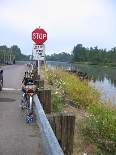
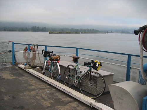
The ferry arrived and we all loaded up. Nice foggy views of the river, trees, paper mills, pilings... It zipped right along, too. Arrived on Puget Island - the ferry operator wished us a good ride and headed off for his breakfast.
A peaceful ride through the island - houses with chickens, curio shops, farms. Then over the bridge to the mainland and Cathlamet. Still excellent road surface. Eventually we started the climb on KM Mountain. Not bad, but long. My camelbak mouthpiece decided to pop off, but it was quickly found and restored. The top had a false summit - it looked like we were headed downhill, but we weren't. It was weird. Finally summitted and had a fun downhill on the excellent road.
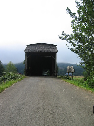
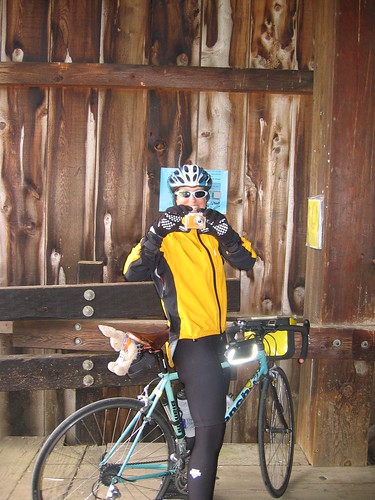
Then off to the covered bridge. The road quality deteriorated somewhat (we grew to dislike the "motorcycles use extreme caution" signs). The bridge was on a nice little loop going past farms. Stopped to fill out our cards and take many pictures :-)
Then moving along to Rosburg (stop for the blue room and a plum), then moving along. Through Naselle, and onto Parpala Rd. It started with clearcuts and turned into salt marsh. Quite pretty! The road was chip seal. I could see a road up ahead, and figured it was probably Hwy 101. Eventually we got there, and it was.
Left turn, and a stop at the Willapa Bay Wildlife Refuge. Ate my apricot jam and brie cheese sandwich (I read that is what the TdF riders get in their lunch sacks; thought I'd give it a try. They've got something there. Its good.) A guy from Charleston NC stopped to talk about our bikes; he maintains the bikes for their police department.
We rode along Willapa Bay for awhile, enjoying the views of the bay. Got our first view of the Pacific Ocean. Up and down, then into Ilwaco; more grooved pavement. Makes my brain rattle.
A stop at the market, for snacks, water, sports drink and a signature. They were not sharing their bathroom. Then off to Cape Disappointment. Up and down, not so much traffic. Then back to the interpretive center, with a stop at the campground, where an RV driver towing a boat nearly took me out with one of the boat motors.
Got to the path to the lighthouse. As it was not just right there, we elected to skip seeing it. Continued on the loop, stopping to take pictures of the Columbia River and the Ilwaco harbor.
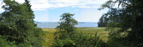
Back through Ilwaco, on 101. We were to skip part of 101 by taking Airport/Stringtown Rd.
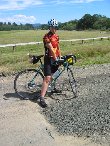
Just past the airport, the road turned into a sea of loose gravel and construction. A gentleman coming off it told us it was like that the entire way. He asked where we started and where we were headed. "Commendable", he said. We elected to go back to 101 and follow it, instead.
Passed through Chinook (nice shingle houses and some gorgeous cedar-sided houses), then onto the tunnel. We did push the button, but it did not appear to actuate the flasher. I turned on my rear blinkie. Fortunately, it was a short tunnel. Then along the river, with the Astoria Bridge coming ever closer. Not that I had nightmares about crossing it, but it definitely did cause some trepidation. It goes WAY up there, and the west winds can be strong. And it is 3.5 miles long.
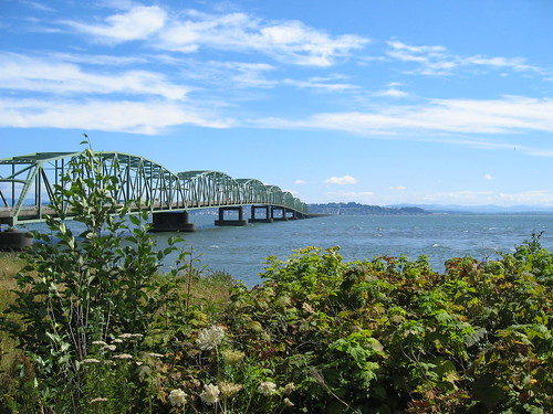
As it turned out, not so bad. Traffic was patchy, and generally considerate, and we had a tailwind. Except when I was climbing, I was going along at about 18.5mph, watching Cecil vanish on ahead. The shoulder was narrow, but clean. Lots of dead birds. Seagulls would hover at eye level. Looping off the bridge was the most exciting part - I needed to be in the left lane. Fortunately there was a break in traffic, so it was uneventful. Cecil was waiting across the street. Her first words - "How about some salty french fries at McDonalds?"

Rode through Astoria, trying hard to not be doored in the bicycle lane - it was very busy that day. Into Mc D's, ordered fries and sodas, and a signature. Cashiers were very obliging all day :-)
Off for the last 36 miles. Hwy 30 mostly goes up. There are downs, but they are short. This went on for way too long. My shoulders had gotten seriously knotted up, and were screaming at me. Cecil pounded on them for a bit, and we went off again. Then I saw the sign "Clatsop Summit", which explained everything. A long, tense downhill. It would have been FUN, had it not been for the traffic and narrow shoulder.
Found Cecil at the bottom, and we ended up back on the amazing pavement, with a tailwind. Good thing, because my shoulders were unhappy again. Moving along at about 17-18mph (speeds not really seen most of the day, I might add), passing through Westport, only 9 more miles to go...
Entering Clatskanie, the last curve, and the Safeway! Done! Put stuff away, went into the Safeway for snacks and a receipt. We got a woman sitting in her truck to take our picture.

Oh, and we drove back the same way. So, Washington 3 times...
More pictures here: http://www.flickr.com/photos/20084214@N00/1096041272/in/set-72157601391581924/

3 comments:
Nicely done, ladies! Hope to join you on one of these permanent adventures down the line. Of course, I'm bummed you two didnt come down for our Down the Drain, unpaved roadway adventure. You might have qualified for a free pair of sidi shoes.
LL
Lynne, This sounds like a fun ride. Hwy 30 at the end is less inviting.
Wow, that was a long time ago. It would have been more fun if my shoulders has been cooperating. They are better now.
Post a Comment